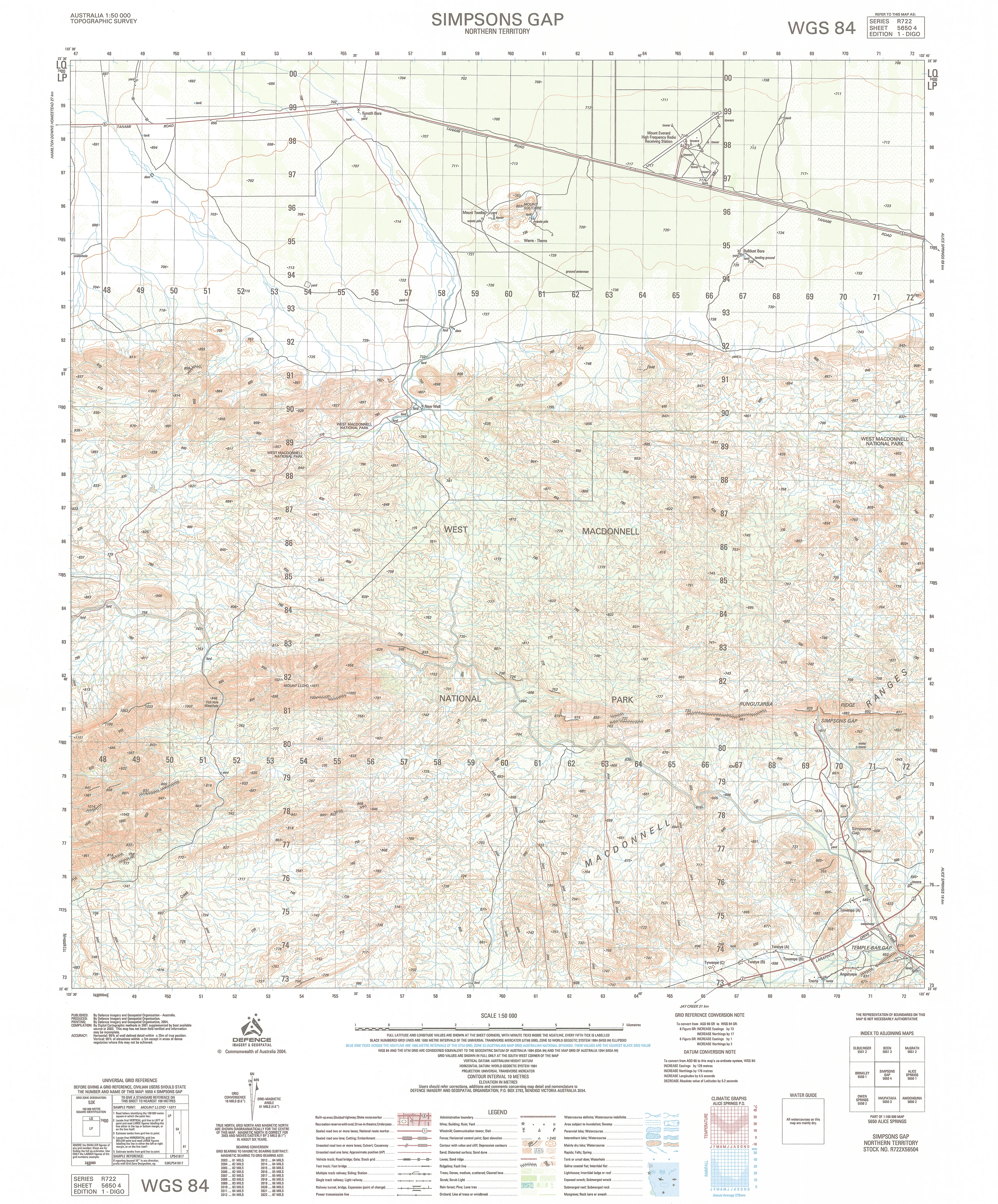
5650-4 Simpsons Gap 1:50k Topographic Map
5650-4 Simpsons Gap — 1:50,000 Topographic Map
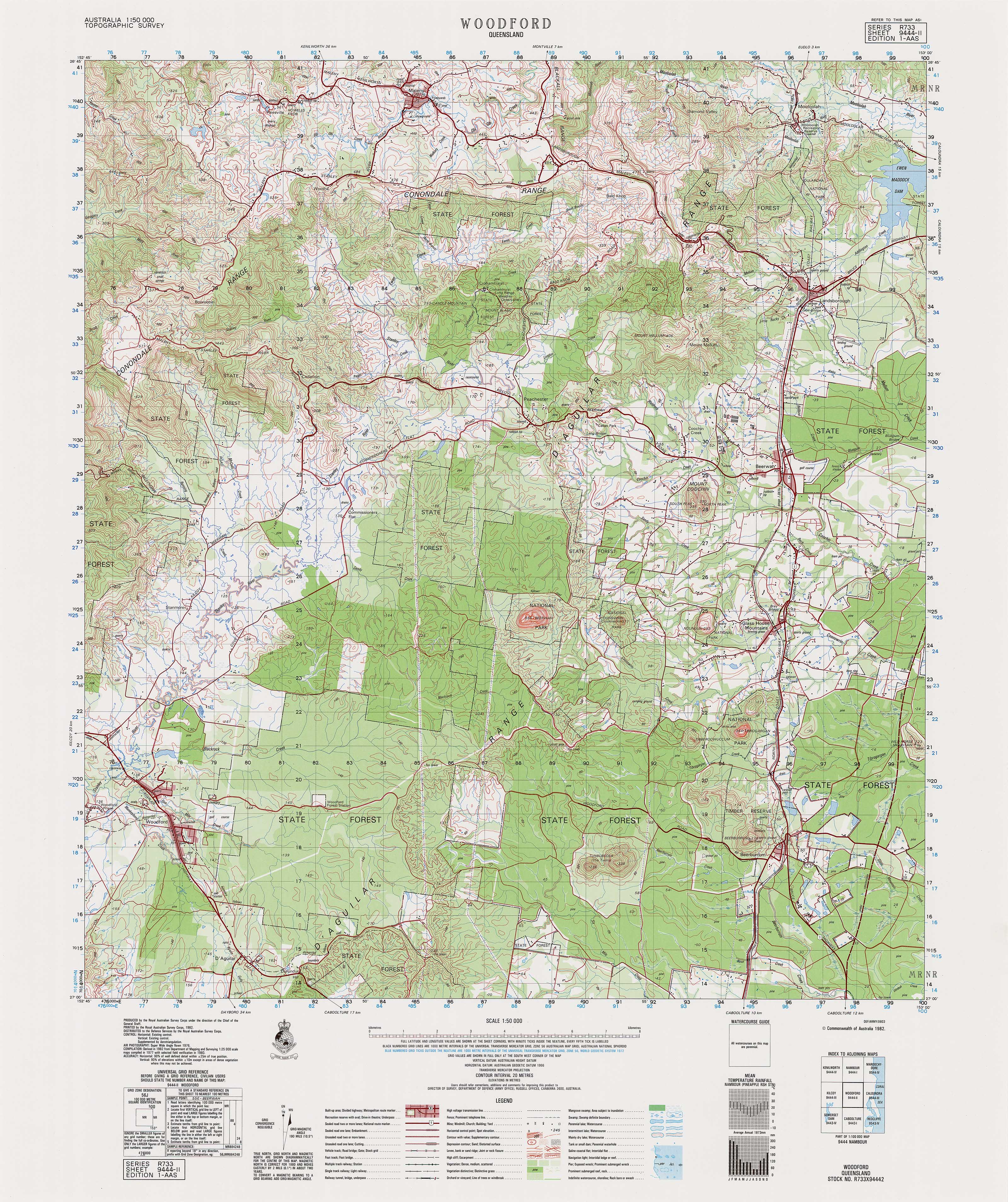
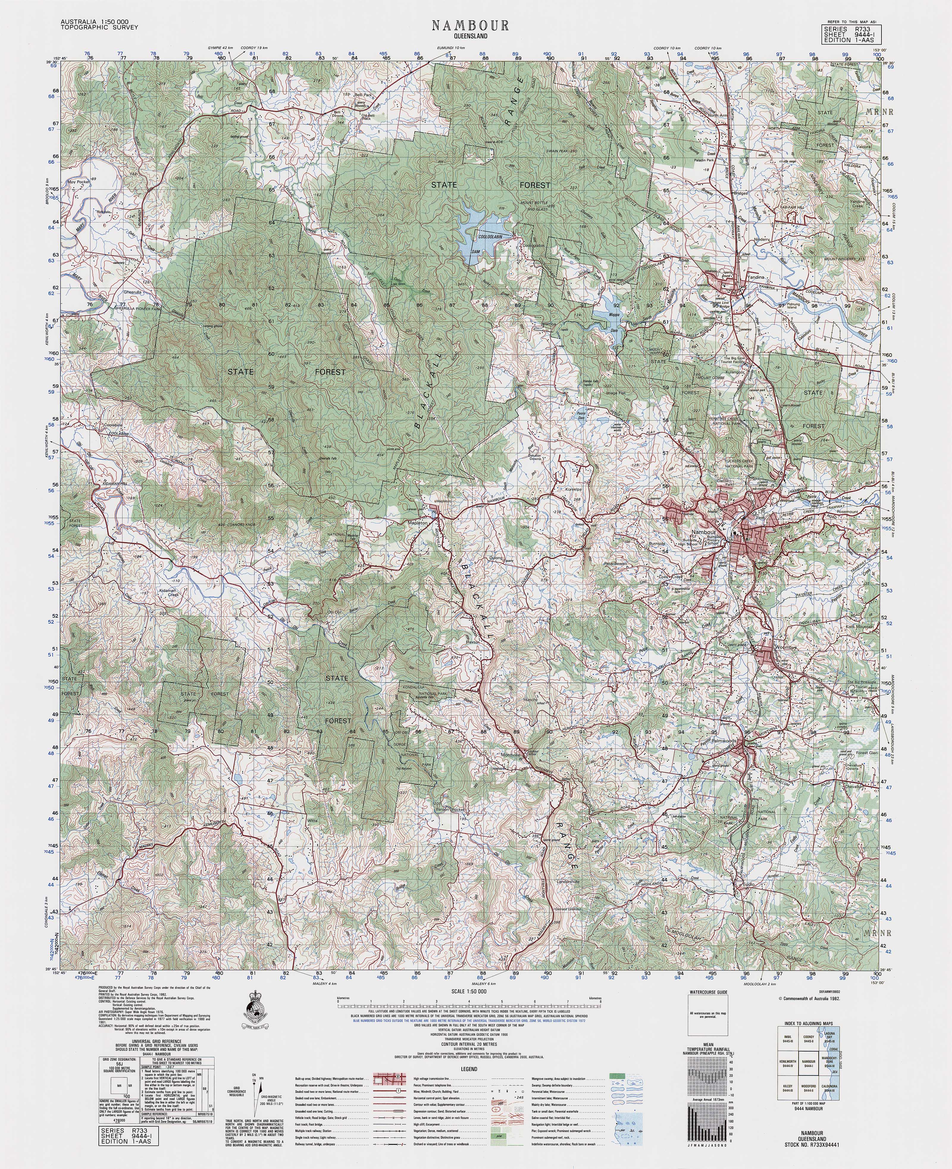
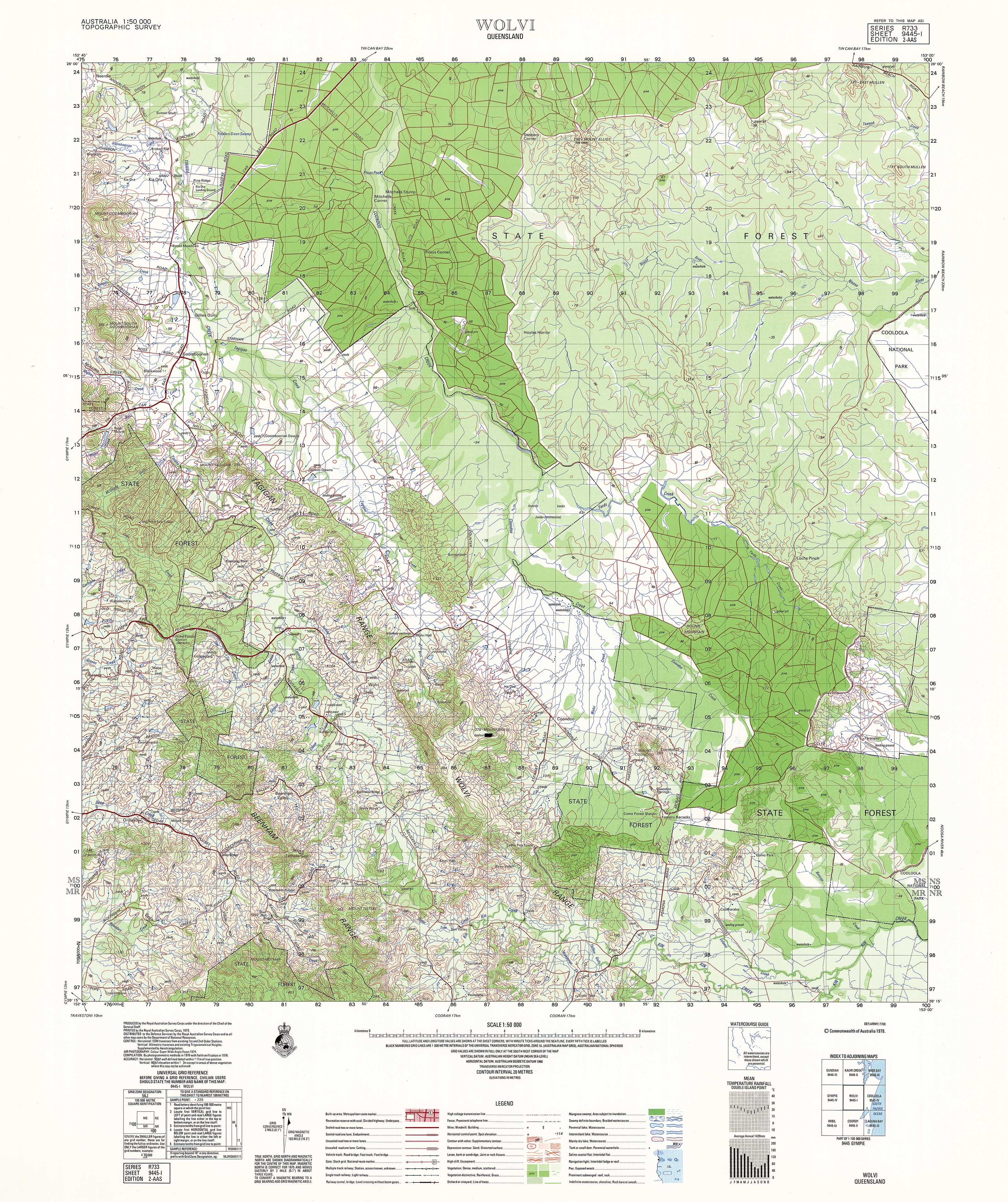
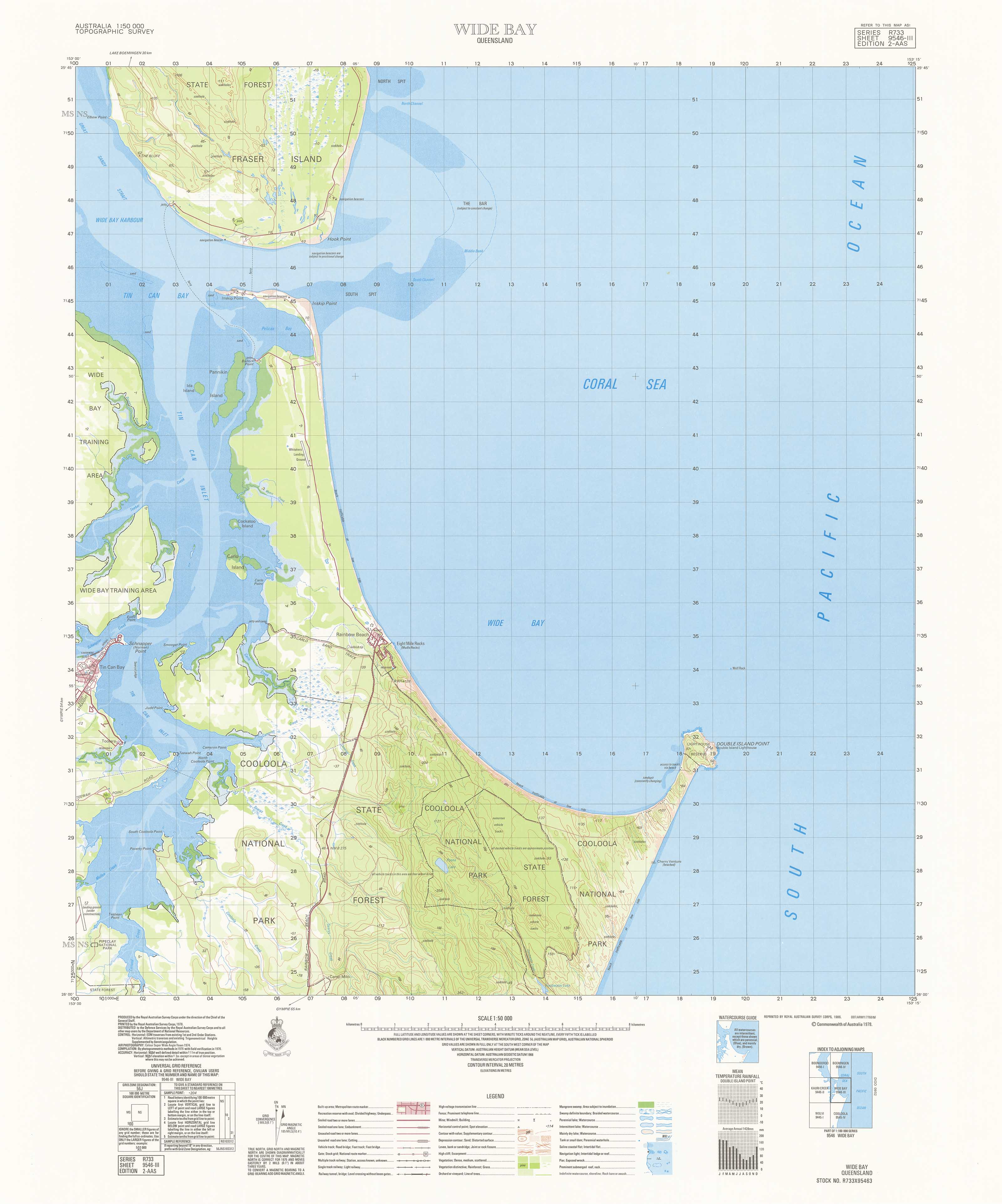
The 5650-4 Simpsons Gap 1:50,000 topographic sheet provides authoritative, high-resolution mapping over one of Central Australia’s most recognisable landscapes. Capturing the rugged quartzite ranges, steep gaps, narrow gorges, alluvial plains, ephemeral creek systems and surrounding arid terrain, this sheet is indispensable for emergency responders, environmental specialists, surveyors, land managers and outback explorers operating in the West MacDonnell region.
Contours, hydrology, vegetation, cultural features and access networks follow Australia’s standardised topographic symbology, ensuring consistent clarity for planning, assessment and field navigation.
🗺️ Map Content & Features
At 1:50,000 scale — 1 cm = 500 m, the Simpsons Gap sheet includes:
-
Contours & Elevation: steep ranges, ridge crests, dissected slopes, plains, dune remnants and spot heights
-
Hydrology: Simpsons Gap, ephemeral creeks, tributaries, drainage lines, alluvial corridors and floodout zones
-
Transport & Access: sealed and unsealed roads, Larapinta Trail sections (where mapped), local tracks, station access routes and remote pathways
-
Cultural & Built Features: facilities near Simpsons Gap, homesteads, tanks, outstations, survey marks and named natural features
-
Vegetation & Land Cover: arid scrub, rocky woodland, open grassland, riparian vegetation along creek lines
-
Administrative & Grid Framework: boundaries, coordinate grids and national mapping standards
-
Optimised for rugged outback terrain: vital for terrain modelling, search planning, ecological work and field navigation
🧭 Who Uses This Map?
The Simpsons Gap 1:50k sheet is widely used by:
-
Emergency services & SES — search and rescue readiness, hazard assessment, remote access planning
-
Environmental consultants & scientists — arid ecology, hydrology, geomorphology and habitat studies
-
Surveyors & civil engineers — terrain modelling, corridor design, project feasibility
-
Land managers & pastoral operators — infrastructure review, boundary checks, planning activities
-
Recreational users — hikers, Larapinta Trail walkers, 4WD travellers and navigation trainees
-
Researchers & educators — landscape analysis, desert studies, environmental science
💧 Field-Ready Print Options
✅ Waterproof & Tear-proof Tyvek®
-
Printed on genuine DuPont™ Tyvek®
-
Completely waterproof, tear-resistant and UV-stable
-
Foldable like paper — ideal for arid, rugged and remote environments
✅ Laminated Edition
-
Encapsulated in 2 × 80-micron gloss laminate
-
Write-on / wipe-clean surface for whiteboard markers
-
Compatible with Mapworld map dots
-
Highly durable — resists heat, dust, moisture and repeated handling
📄 Standard Paper Edition
-
High-resolution print
-
Ideal for office planning, documentation and archival reference
📐 Map Details
| Field | Details |
|---|---|
| Title | 5650-4 Simpsons Gap |
| Series | Australia 1:50,000 Topographic Series |
| Scale | 1:50,000 (1 cm = 500 m) |
| Coverage | Simpsons Gap & West MacDonnell region — gorges, ranges, plains & ephemeral creeks |
| Coordinates | Geographical & UTM |
| Datum | AGD66; later editions WGS84; AHD elevations |
| Projection | Universal Transverse Mercator (UTM) |
| Currency | Maps published 1968–2006 |
| Sheet Size | 600 mm (width) × 710 mm (height) |
| Material Options | Paper • Laminated • Tyvek® |
| Printed In | Australia |
🛒 Ordering & Options
-
Folded paper edition — compact, economical and field-ready
-
Waterproof Tyvek® edition — perfect for rugged outback and gorge terrain
-
Laminated edition — write-on/wipe-clean, ideal for planning and operational use
🎯 Summary
The 5650-4 Simpsons Gap — 1:50,000 Topographic Map provides essential mid-scale mapping across one of Central Australia’s most iconic gorge landscapes. With detailed contours, hydrology, land cover and resilient print options, this sheet is indispensable for emergency teams, surveyors, environmental specialists, land managers and outback travellers.
Work clearly.
Plan confidently.
Navigate precisely.
Original: $14.27
-65%$14.27
$4.99Product Information
Product Information
Shipping & Returns
Shipping & Returns
Description
5650-4 Simpsons Gap — 1:50,000 Topographic Map
The 5650-4 Simpsons Gap 1:50,000 topographic sheet provides authoritative, high-resolution mapping over one of Central Australia’s most recognisable landscapes. Capturing the rugged quartzite ranges, steep gaps, narrow gorges, alluvial plains, ephemeral creek systems and surrounding arid terrain, this sheet is indispensable for emergency responders, environmental specialists, surveyors, land managers and outback explorers operating in the West MacDonnell region.
Contours, hydrology, vegetation, cultural features and access networks follow Australia’s standardised topographic symbology, ensuring consistent clarity for planning, assessment and field navigation.
🗺️ Map Content & Features
At 1:50,000 scale — 1 cm = 500 m, the Simpsons Gap sheet includes:
-
Contours & Elevation: steep ranges, ridge crests, dissected slopes, plains, dune remnants and spot heights
-
Hydrology: Simpsons Gap, ephemeral creeks, tributaries, drainage lines, alluvial corridors and floodout zones
-
Transport & Access: sealed and unsealed roads, Larapinta Trail sections (where mapped), local tracks, station access routes and remote pathways
-
Cultural & Built Features: facilities near Simpsons Gap, homesteads, tanks, outstations, survey marks and named natural features
-
Vegetation & Land Cover: arid scrub, rocky woodland, open grassland, riparian vegetation along creek lines
-
Administrative & Grid Framework: boundaries, coordinate grids and national mapping standards
-
Optimised for rugged outback terrain: vital for terrain modelling, search planning, ecological work and field navigation
🧭 Who Uses This Map?
The Simpsons Gap 1:50k sheet is widely used by:
-
Emergency services & SES — search and rescue readiness, hazard assessment, remote access planning
-
Environmental consultants & scientists — arid ecology, hydrology, geomorphology and habitat studies
-
Surveyors & civil engineers — terrain modelling, corridor design, project feasibility
-
Land managers & pastoral operators — infrastructure review, boundary checks, planning activities
-
Recreational users — hikers, Larapinta Trail walkers, 4WD travellers and navigation trainees
-
Researchers & educators — landscape analysis, desert studies, environmental science
💧 Field-Ready Print Options
✅ Waterproof & Tear-proof Tyvek®
-
Printed on genuine DuPont™ Tyvek®
-
Completely waterproof, tear-resistant and UV-stable
-
Foldable like paper — ideal for arid, rugged and remote environments
✅ Laminated Edition
-
Encapsulated in 2 × 80-micron gloss laminate
-
Write-on / wipe-clean surface for whiteboard markers
-
Compatible with Mapworld map dots
-
Highly durable — resists heat, dust, moisture and repeated handling
📄 Standard Paper Edition
-
High-resolution print
-
Ideal for office planning, documentation and archival reference
📐 Map Details
| Field | Details |
|---|---|
| Title | 5650-4 Simpsons Gap |
| Series | Australia 1:50,000 Topographic Series |
| Scale | 1:50,000 (1 cm = 500 m) |
| Coverage | Simpsons Gap & West MacDonnell region — gorges, ranges, plains & ephemeral creeks |
| Coordinates | Geographical & UTM |
| Datum | AGD66; later editions WGS84; AHD elevations |
| Projection | Universal Transverse Mercator (UTM) |
| Currency | Maps published 1968–2006 |
| Sheet Size | 600 mm (width) × 710 mm (height) |
| Material Options | Paper • Laminated • Tyvek® |
| Printed In | Australia |
🛒 Ordering & Options
-
Folded paper edition — compact, economical and field-ready
-
Waterproof Tyvek® edition — perfect for rugged outback and gorge terrain
-
Laminated edition — write-on/wipe-clean, ideal for planning and operational use
🎯 Summary
The 5650-4 Simpsons Gap — 1:50,000 Topographic Map provides essential mid-scale mapping across one of Central Australia’s most iconic gorge landscapes. With detailed contours, hydrology, land cover and resilient print options, this sheet is indispensable for emergency teams, surveyors, environmental specialists, land managers and outback travellers.
Work clearly.
Plan confidently.
Navigate precisely.