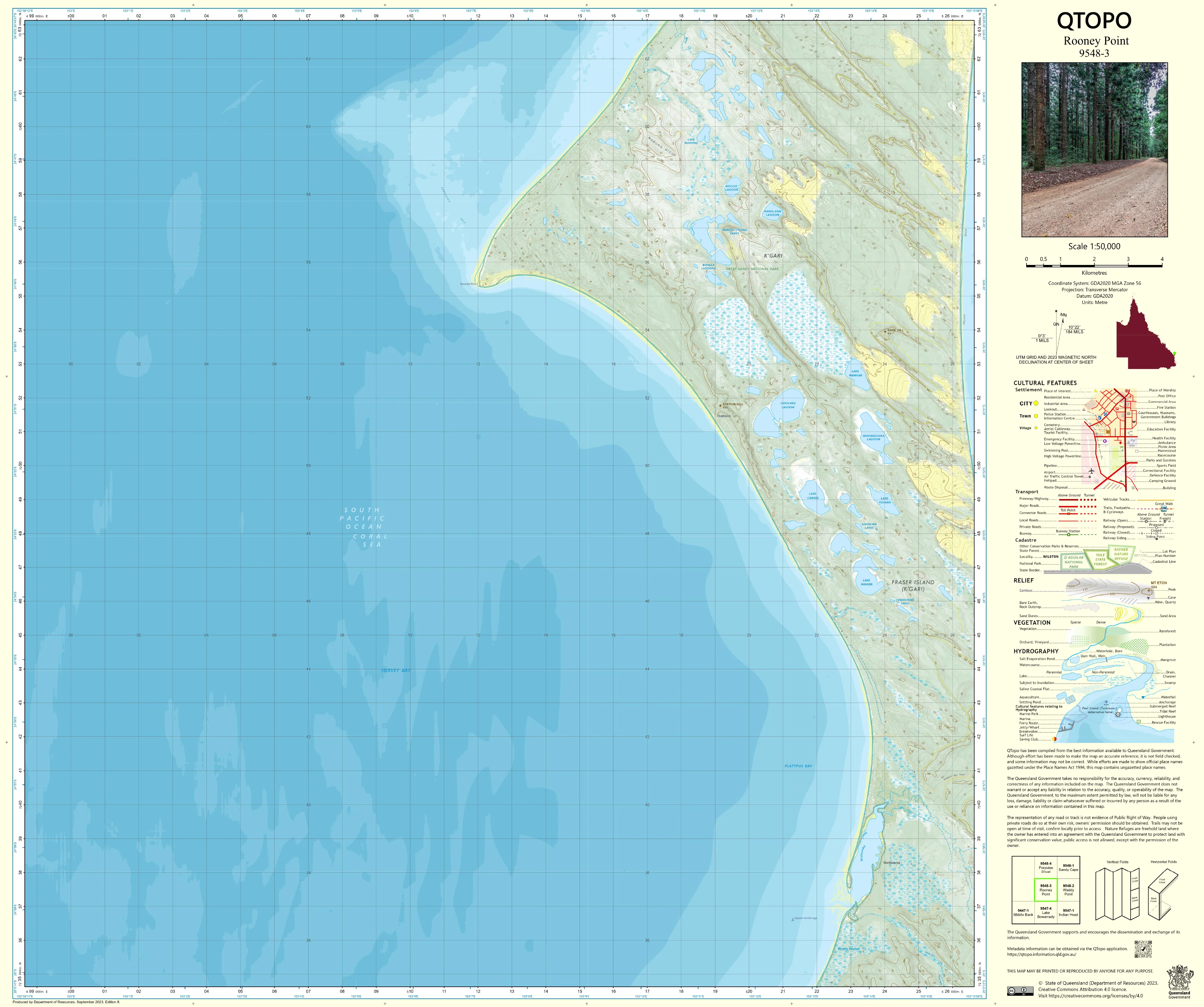
9548-3 Rooney Point QTopo 1:50,000 Topographic Map
QTopo 9548-3 — Rooney Point
1:50,000 Topographic Map
A detailed and authoritative topographic map covering Rooney Point, the remote north-western shoreline of K’gari (Fraser Island). This isolated coastal region is defined by wide tidal sandflats, mangrove systems, sweeping beaches, low dune fields, and quiet estuarine environments—making it one of the island’s most tranquil yet environmentally sensitive areas.
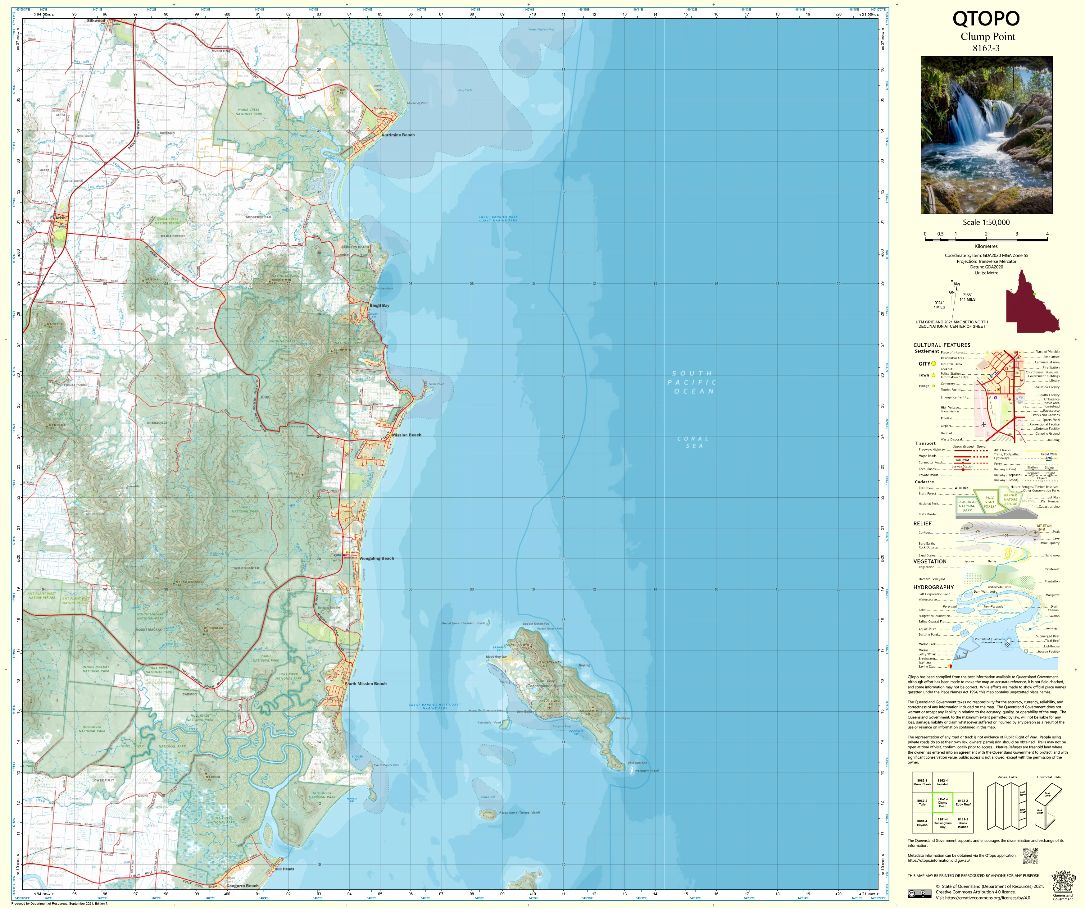
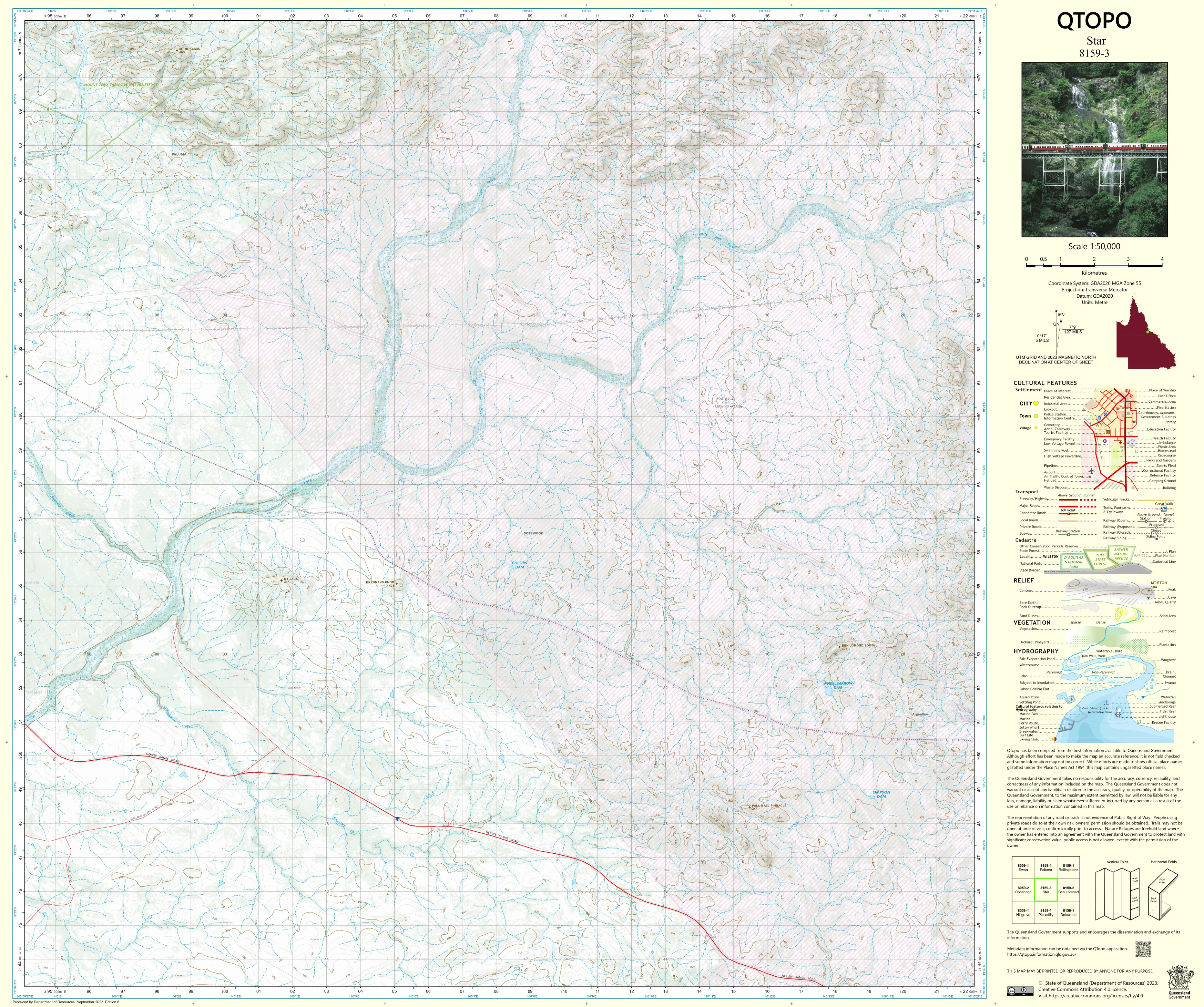
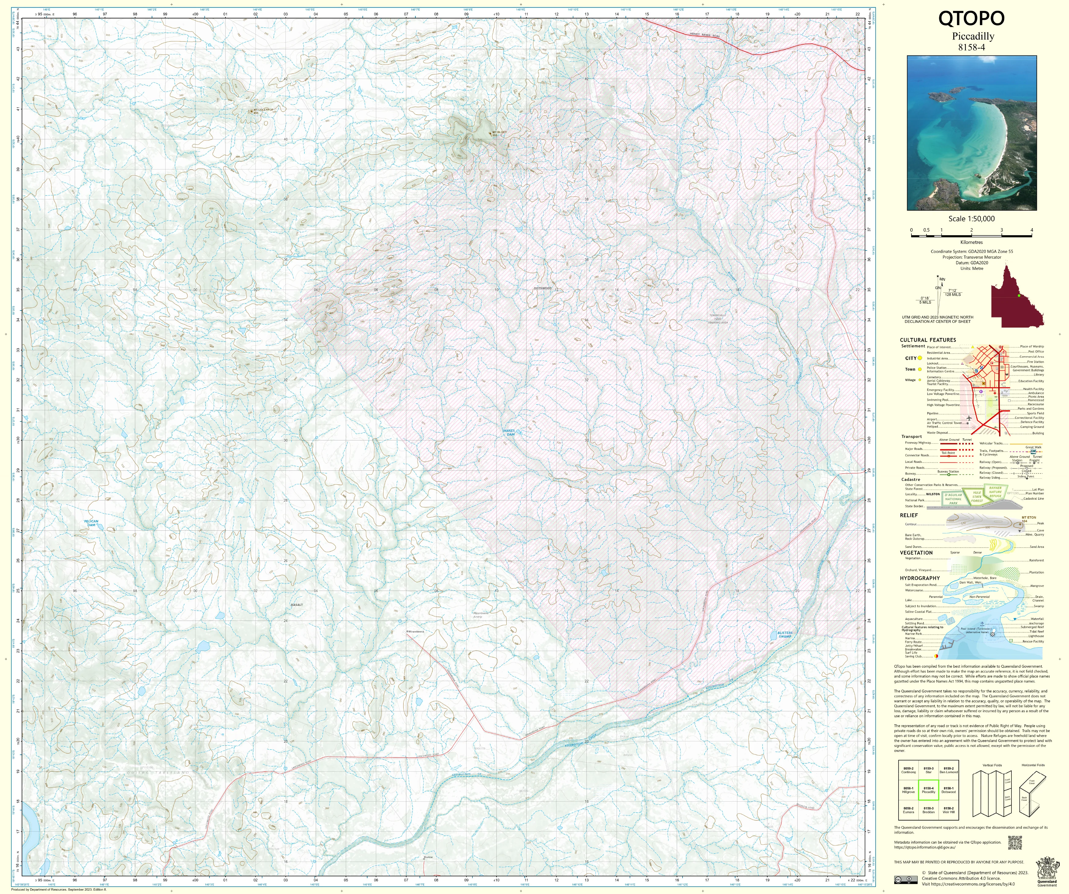
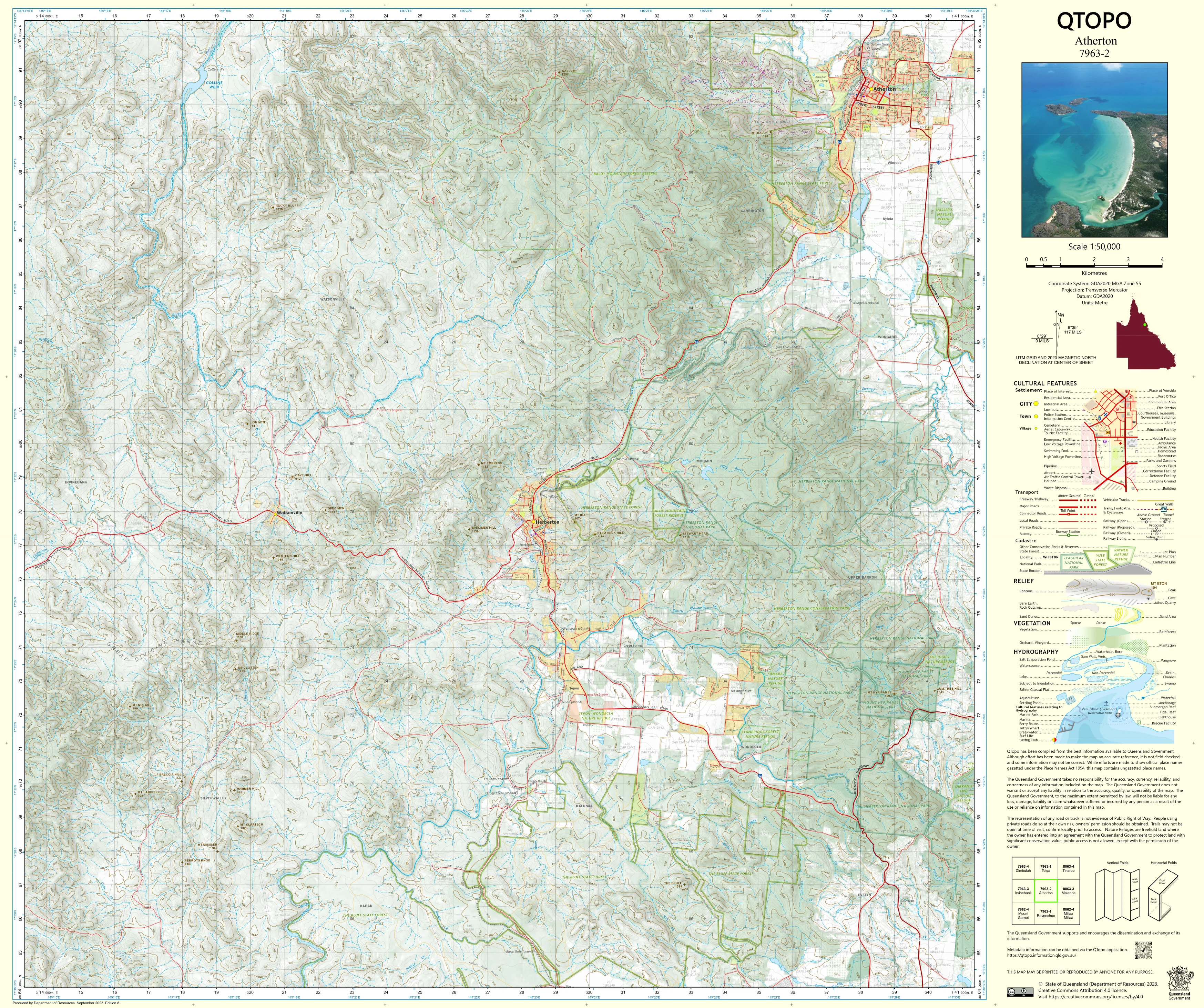
The QTopo 9548-3 (Rooney Point) sheet provides essential geographic clarity for environmental monitoring, ranger operations, remote navigation, cultural heritage work, fishing access, and low-impact exploration across this rarely visited corner of the island. Produced by the Queensland Department of Resources, it includes precise contouring, hydrology detail, coastal geomorphology, access tracks, and vegetation mapping.
Whether you’re conducting surveys, planning safe travel along the western shoreline, or studying the island’s marine–terrestrial interface, this map supplies reliable, mid-scale detail suited to both professional and recreational needs.
🗺️ Map Content and Features
At 1:50,000 scale—where 1 cm = 500 m—the map includes:
-
Contour lines showing dune crests, low ridgelines, depressions, and coastal elevations
-
Hydrology features: tidal flats, mangrove-lined inlets, creeks, drainage channels, swamps, and wetland margins
-
Roads & access routes: beach routes, inland sand tracks, management roads, and access points used by rangers and experienced 4WD travellers
-
Infrastructure: campsites, day-use areas, communication sites, and ranger-managed features
-
Vegetation mapping: mangroves, coastal dune flora, woodland pockets, heathland, and wetland vegetation
-
Land tenure boundaries: national park zones, recreation areas, conservation areas, and regulated coastal management zones
-
Named features: Rooney Point, Platypus Bay coastline, tidal flats, estuaries, creeks, and surrounding dune systems
-
Points of interest: crucial for ecologists, rangers, emergency crews, and remote-area explorers
All mapping is produced from Queensland’s authoritative geospatial datasets for accuracy and consistency.
🧭 Who Uses This Map?
The Rooney Point 9548-3 Topographic Map is ideal for:
-
Environmental scientists & ecologists – monitoring tidal flats, mangrove systems, and estuarine habitats
-
National park rangers & land managers – operational planning, resource protection, visitor safety
-
Emergency services & SES – remote shoreline navigation, search and rescue routes
-
4WD adventurers & anglers – safe access to Platypus Bay and western beaches
-
Marine and geomorphology researchers – sediment movement, coastal processes, ecosystem mapping
-
Educators & students – coastal ecology, field mapping, environmental geography
A valuable resource for technical, scientific, and recreational users.
💧 Field-Ready Print Options
Choose the finish suited to rugged coastal conditions:
✅ Waterproof & Tearproof Tyvek®
-
Printed on DuPont™ Tyvek®
-
Fully waterproof, tear-resistant, and resilient against sand, salt, and humidity
-
Ideal for marine and remote coastal environments
✅ Laminated Edition
-
Encapsulated in 2 × 80-micron gloss laminate
-
Writeable surface for whiteboard markers
-
Durable and resistant to moisture, salt spray, oils, and repeated handling
📄 Standard Paper Edition
-
High-resolution print
-
Perfect for office reference, planning, reporting, or education
📐 Map Details
Title: QTopo 9548-3 — Rooney Point
Publisher: Queensland Department of Resources
Series: QTopo 1:50,000
Scale: 1:50,000 (1 cm = 500 m)
Dimensions: 710 mm (width) × 594 mm (height)
Coverage: Rooney Point, Platypus Bay, tidal flats, mangrove systems, dune fields, and inland tracks
Material Options: Paper, laminated, or waterproof Tyvek®
Printed in: Australia
Edition: Latest available
🛒 Ordering & Options
-
Folded paper map – portable and convenient
-
Waterproof Tyvek® edition – rugged and perfect for coastal and wet environments
-
Laminated edition – reusable and ideal for planning and operational contexts
🎯 Summary
The QTopo 9548-3 — Rooney Point Topographic Map provides authoritative mid-scale mapping across one of the most serene, ecologically rich, and remote regions of K’gari’s western coastline. With detailed hydrology, dune modelling, and durable print formats, it is indispensable for ecologists, rangers, emergency responders, researchers, and remote-area explorers.
Plan with purpose.
Navigate with confidence.
Explore with clarity.
Original: $14.27
-65%$14.27
$4.99Product Information
Product Information
Shipping & Returns
Shipping & Returns
Description
QTopo 9548-3 — Rooney Point
1:50,000 Topographic Map
A detailed and authoritative topographic map covering Rooney Point, the remote north-western shoreline of K’gari (Fraser Island). This isolated coastal region is defined by wide tidal sandflats, mangrove systems, sweeping beaches, low dune fields, and quiet estuarine environments—making it one of the island’s most tranquil yet environmentally sensitive areas.
The QTopo 9548-3 (Rooney Point) sheet provides essential geographic clarity for environmental monitoring, ranger operations, remote navigation, cultural heritage work, fishing access, and low-impact exploration across this rarely visited corner of the island. Produced by the Queensland Department of Resources, it includes precise contouring, hydrology detail, coastal geomorphology, access tracks, and vegetation mapping.
Whether you’re conducting surveys, planning safe travel along the western shoreline, or studying the island’s marine–terrestrial interface, this map supplies reliable, mid-scale detail suited to both professional and recreational needs.
🗺️ Map Content and Features
At 1:50,000 scale—where 1 cm = 500 m—the map includes:
-
Contour lines showing dune crests, low ridgelines, depressions, and coastal elevations
-
Hydrology features: tidal flats, mangrove-lined inlets, creeks, drainage channels, swamps, and wetland margins
-
Roads & access routes: beach routes, inland sand tracks, management roads, and access points used by rangers and experienced 4WD travellers
-
Infrastructure: campsites, day-use areas, communication sites, and ranger-managed features
-
Vegetation mapping: mangroves, coastal dune flora, woodland pockets, heathland, and wetland vegetation
-
Land tenure boundaries: national park zones, recreation areas, conservation areas, and regulated coastal management zones
-
Named features: Rooney Point, Platypus Bay coastline, tidal flats, estuaries, creeks, and surrounding dune systems
-
Points of interest: crucial for ecologists, rangers, emergency crews, and remote-area explorers
All mapping is produced from Queensland’s authoritative geospatial datasets for accuracy and consistency.
🧭 Who Uses This Map?
The Rooney Point 9548-3 Topographic Map is ideal for:
-
Environmental scientists & ecologists – monitoring tidal flats, mangrove systems, and estuarine habitats
-
National park rangers & land managers – operational planning, resource protection, visitor safety
-
Emergency services & SES – remote shoreline navigation, search and rescue routes
-
4WD adventurers & anglers – safe access to Platypus Bay and western beaches
-
Marine and geomorphology researchers – sediment movement, coastal processes, ecosystem mapping
-
Educators & students – coastal ecology, field mapping, environmental geography
A valuable resource for technical, scientific, and recreational users.
💧 Field-Ready Print Options
Choose the finish suited to rugged coastal conditions:
✅ Waterproof & Tearproof Tyvek®
-
Printed on DuPont™ Tyvek®
-
Fully waterproof, tear-resistant, and resilient against sand, salt, and humidity
-
Ideal for marine and remote coastal environments
✅ Laminated Edition
-
Encapsulated in 2 × 80-micron gloss laminate
-
Writeable surface for whiteboard markers
-
Durable and resistant to moisture, salt spray, oils, and repeated handling
📄 Standard Paper Edition
-
High-resolution print
-
Perfect for office reference, planning, reporting, or education
📐 Map Details
Title: QTopo 9548-3 — Rooney Point
Publisher: Queensland Department of Resources
Series: QTopo 1:50,000
Scale: 1:50,000 (1 cm = 500 m)
Dimensions: 710 mm (width) × 594 mm (height)
Coverage: Rooney Point, Platypus Bay, tidal flats, mangrove systems, dune fields, and inland tracks
Material Options: Paper, laminated, or waterproof Tyvek®
Printed in: Australia
Edition: Latest available
🛒 Ordering & Options
-
Folded paper map – portable and convenient
-
Waterproof Tyvek® edition – rugged and perfect for coastal and wet environments
-
Laminated edition – reusable and ideal for planning and operational contexts
🎯 Summary
The QTopo 9548-3 — Rooney Point Topographic Map provides authoritative mid-scale mapping across one of the most serene, ecologically rich, and remote regions of K’gari’s western coastline. With detailed hydrology, dune modelling, and durable print formats, it is indispensable for ecologists, rangers, emergency responders, researchers, and remote-area explorers.
Plan with purpose.
Navigate with confidence.
Explore with clarity.