Adelaide & Region by Hema Maps 1000 x 1430mm Supermap Paper Wall Map
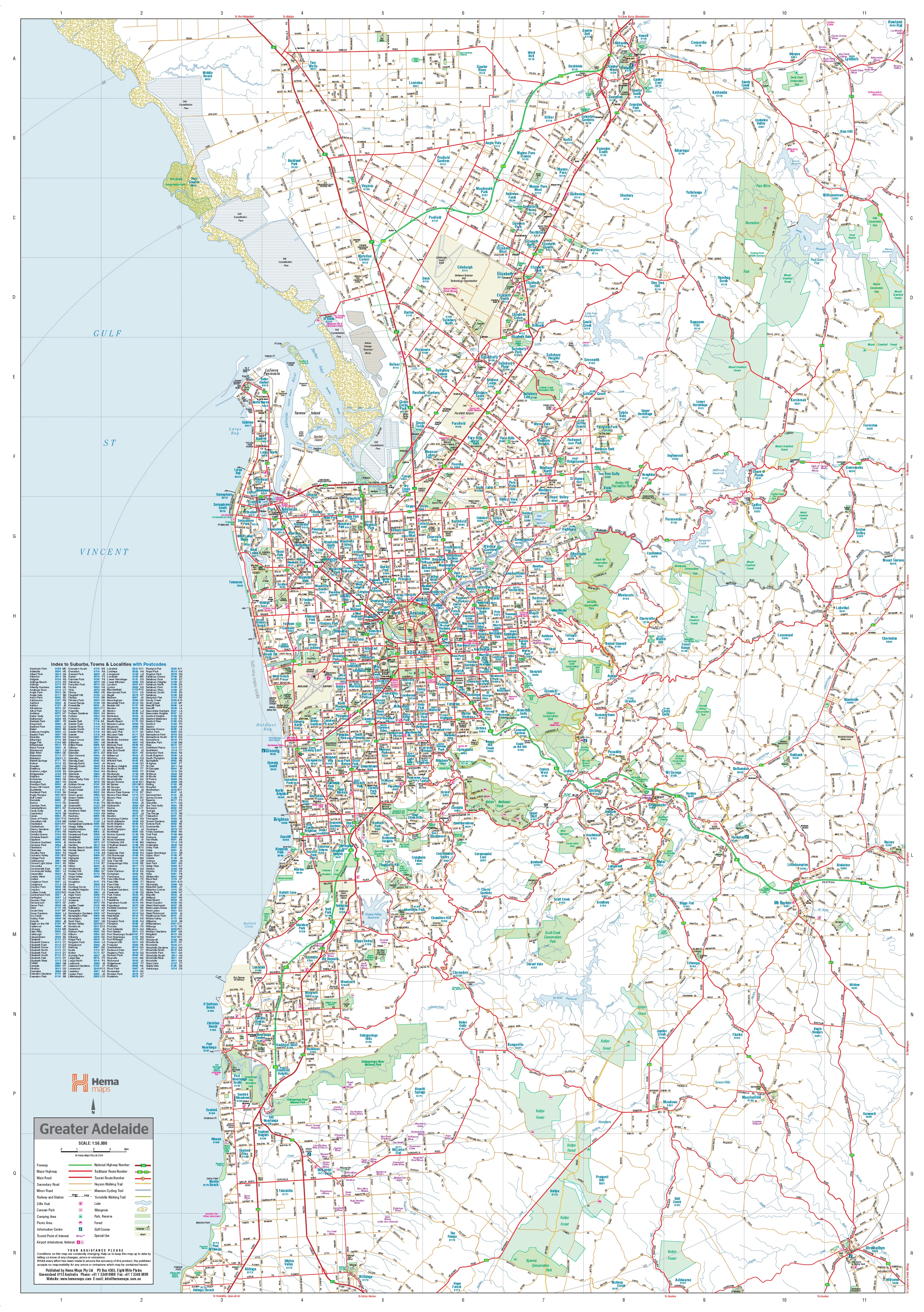
Large-Format Wall Map – Greater Adelaide with Postcodes & Suburb Index
Scale: 1:56,000 | Size: 1000 × 1430 mm (W × H)
📄 Printed on premium matte-coated FSC paper – ideal for framing
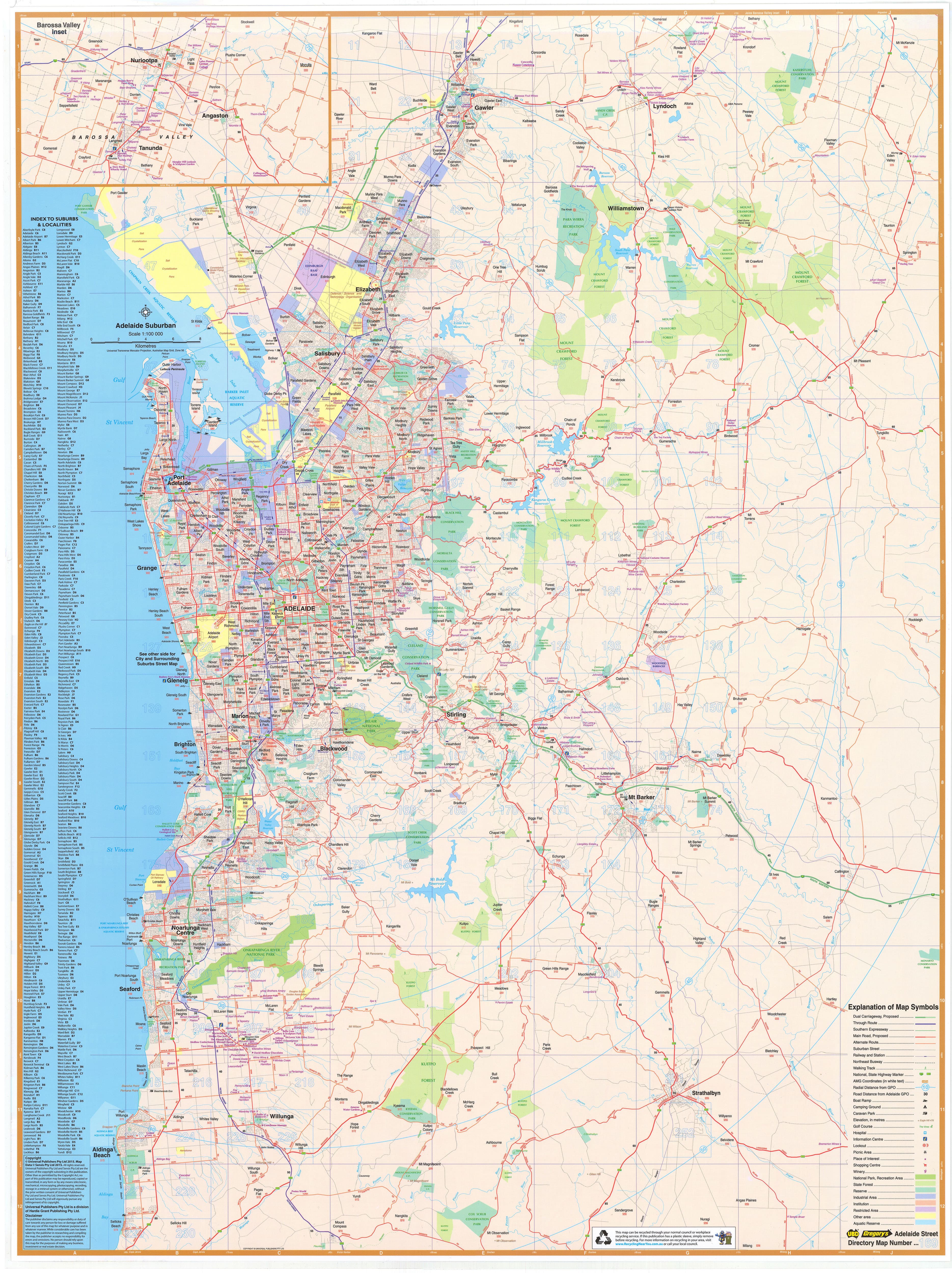
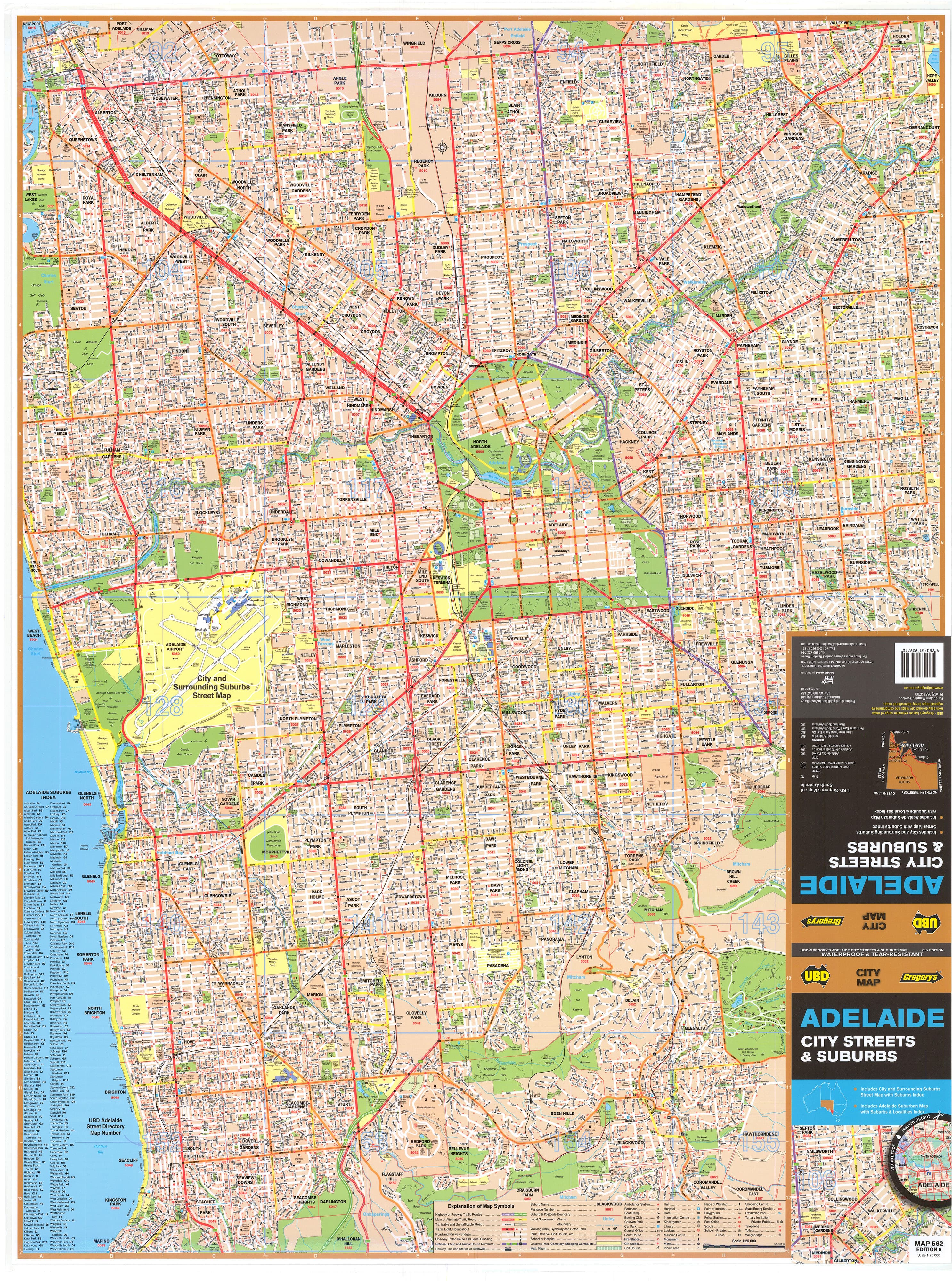
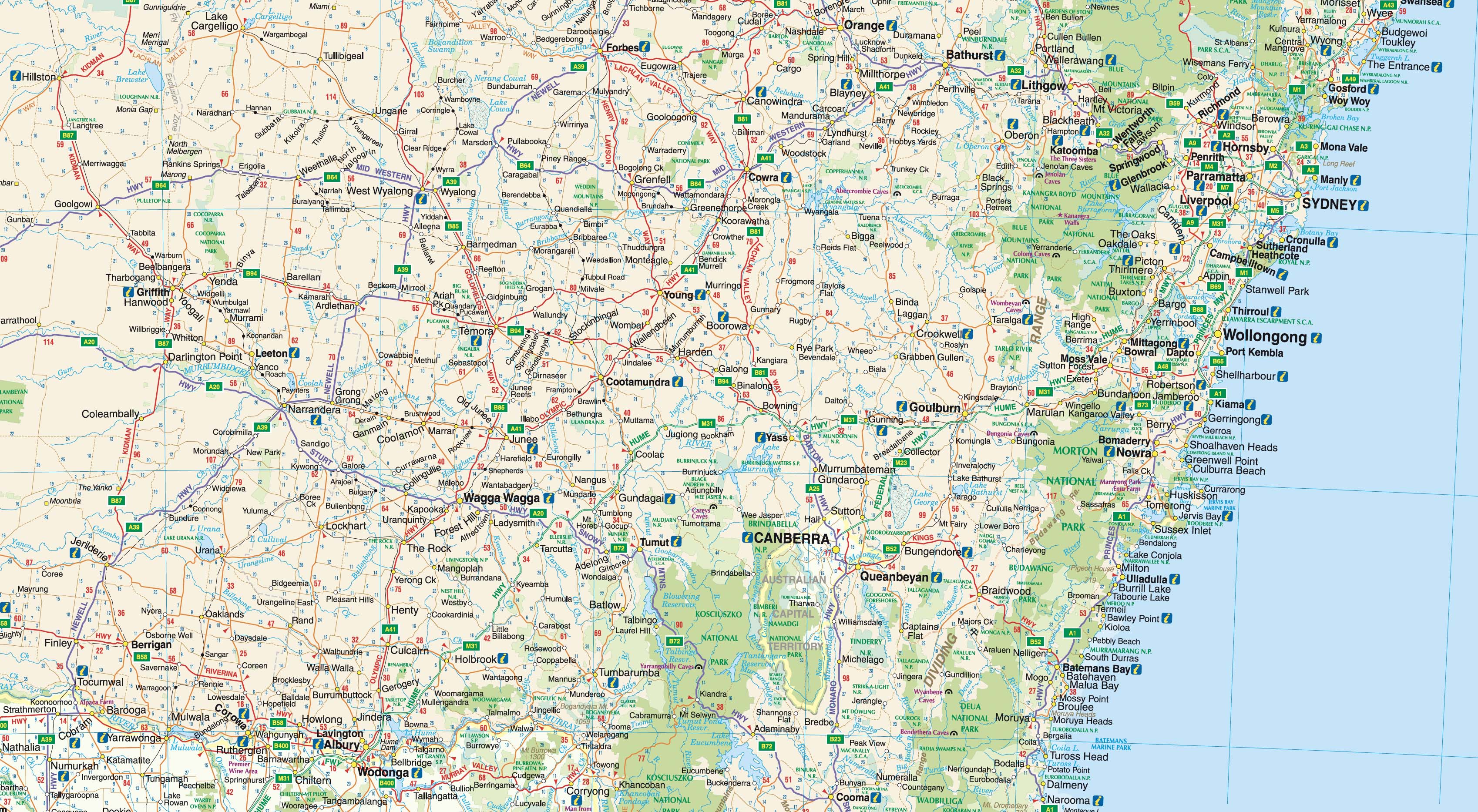
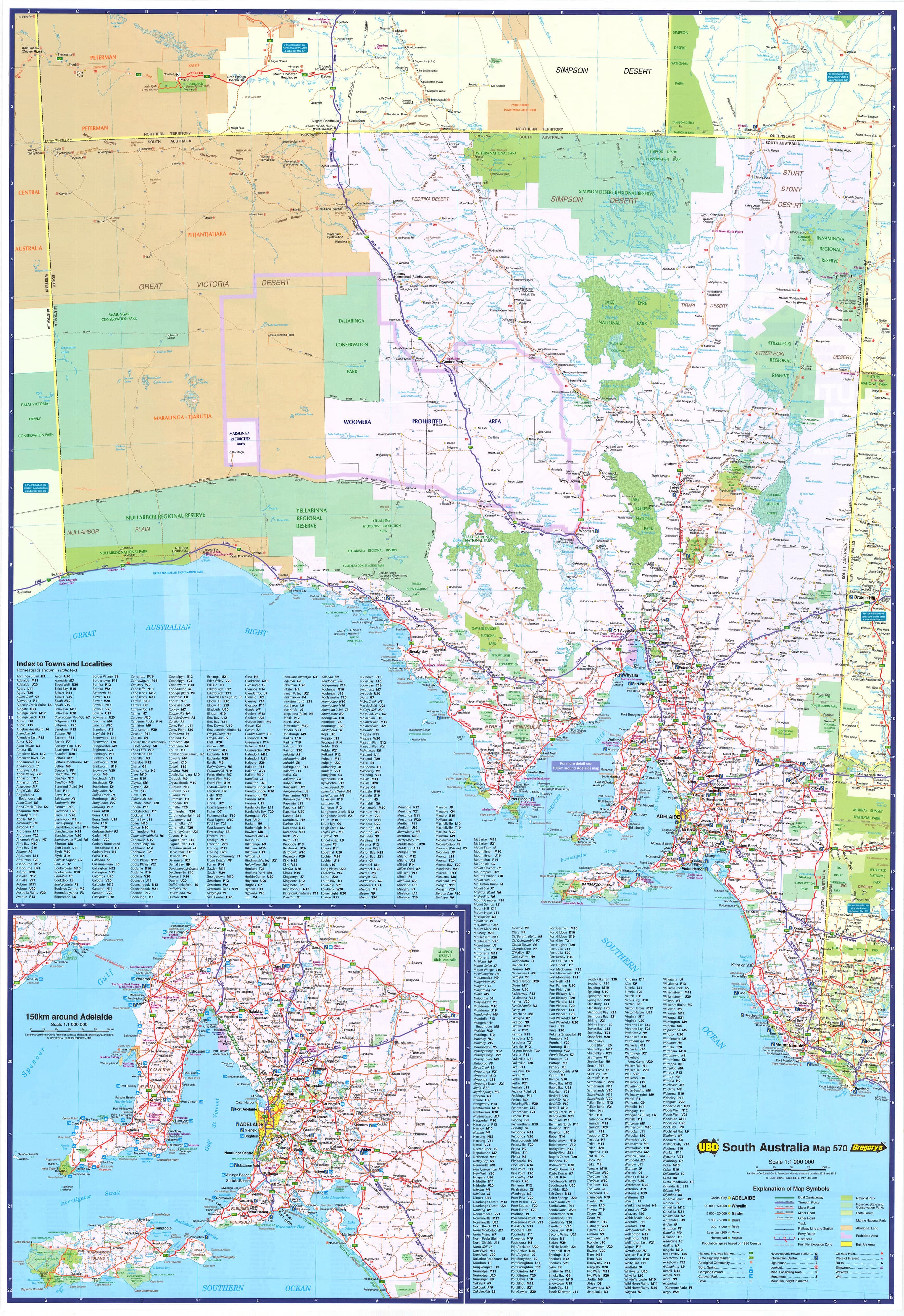
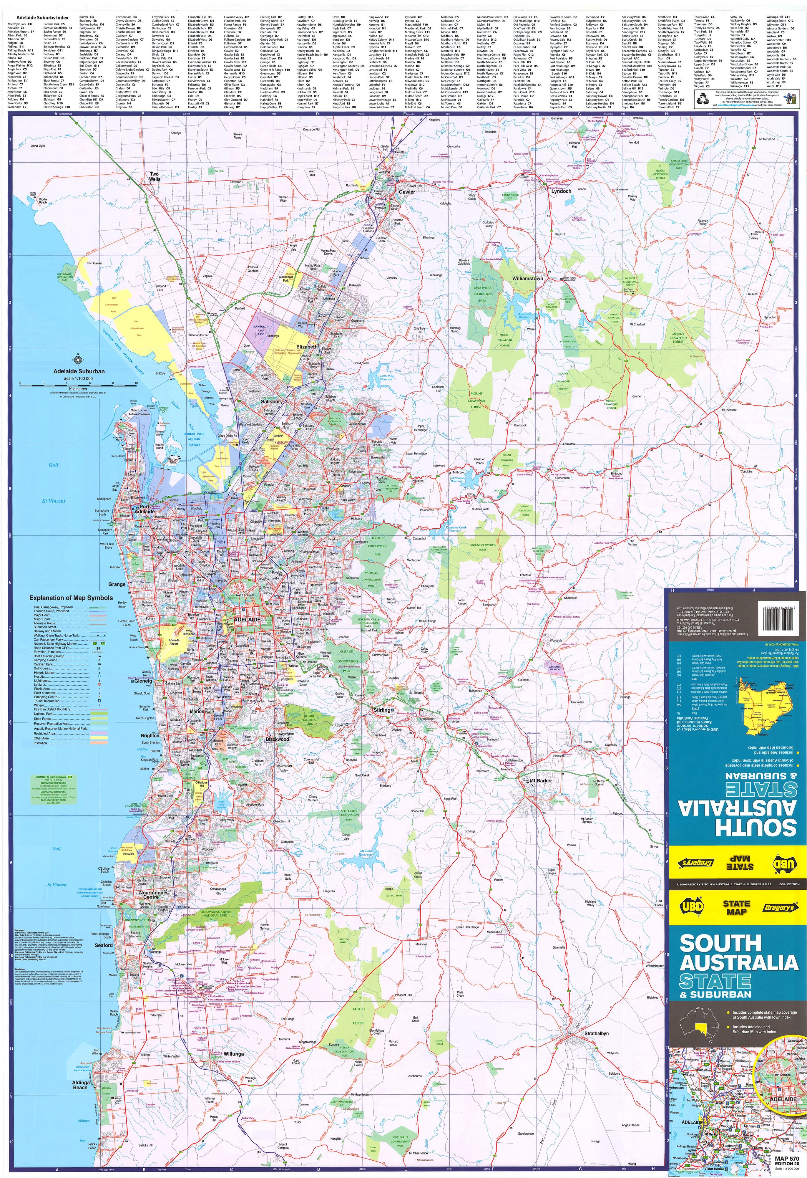
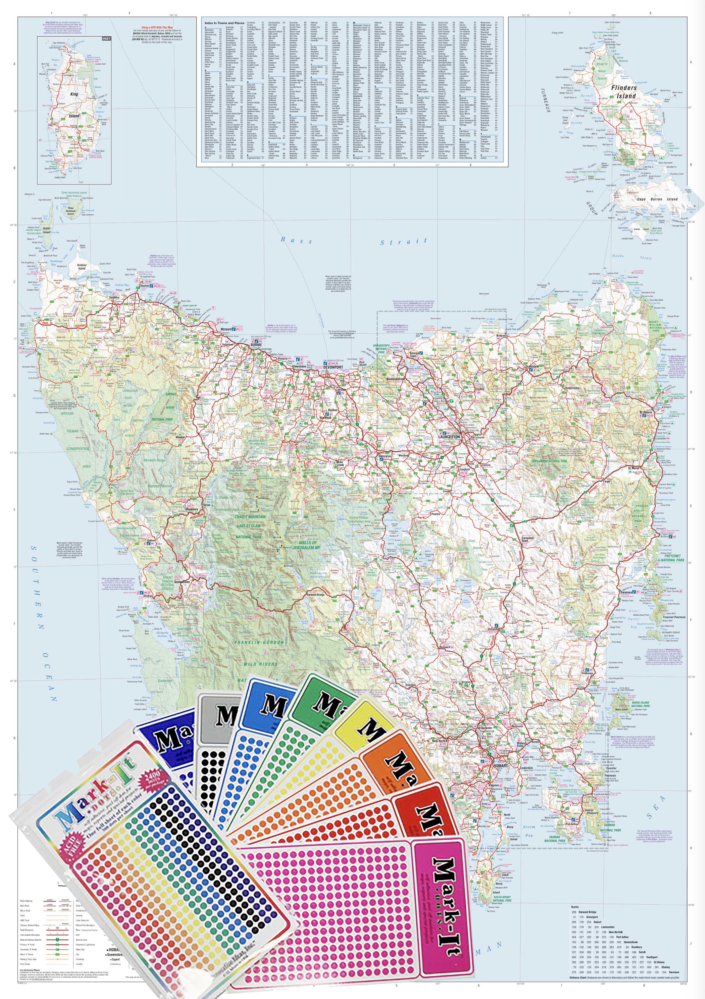
Step up your spatial awareness with this expanded Supermap edition of Greater Adelaide by Hema Maps, featuring an extra-large format for exceptional detail and legibility. Designed specifically for planning, operations, logistics, and educational use, this comprehensive wall map covers the full Adelaide metropolitan footprint at an ultra-clear scale of 1:56,000.
Whether you're managing service zones, planning infrastructure, or simply want an informative and attractive reference for your home or office, this paper wall map offers clarity, accuracy, and professional presentation.
📌 Coverage Area
This Supermap covers Greater Adelaide in extensive detail, from:
-
North: Gawler Belt
-
South: Willunga
-
East: Charleston
-
West: Adelaide CBD to the coast
🔍 Key Features
| ✔️ Feature | 💬 Description |
|---|---|
| 🛣️ Road Detail | All primary and secondary roads clearly displayed, including arterials, collectors, and local streets |
| 🚧 Route Identification | National, state, and metropolitan route numbers shown |
| 🛤️ Freeways | Present and future freeway alignments noted |
| 📮 Postcode Boundaries | All postcode zones in metropolitan Adelaide clearly marked |
| 🏘️ Suburb Index | Complete index of suburbs for fast lookup and reference |
| 📌 Metropolitan Clarity | Dense urban detail at a larger scale, perfect for planning or operational mapping |
| 🖼️ Decorative & Functional | Suitable for public spaces, offices, classrooms, or private collections |
🖨️ Map Printing & Materials
-
Paper Type: FSC-certified 170 gsm premium matte-coated paper
-
Ink: Printed with archival-grade pigment inks for vivid colours and long-lasting performance
-
Finish: Unlaminated – designed for framing under glass or wall-mounting in protected indoor spaces
-
Publisher: Hema Maps
-
Printed in: Australia
📐 Product Specifications
| Property | Detail |
|---|---|
| Title | Adelaide & Region Supermap |
| Publisher | Hema Maps |
| Scale | 1:56,000 |
| Dimensions | 1000 mm (W) × 1430 mm (H) |
| Paper Type | 170 gsm FSC matte-coated |
| Ink Type | Archival pigment |
| Finish | Paper (unlaminated) |
| Suitable For | Glass framing or wall mounting |
| Printed in | Australia |
🧳 Ideal For:
-
🏢 Offices & Service Providers: Strategically map postcodes, delivery zones, or sales territories
-
🏫 Schools & Classrooms: Educational geography tool with extensive suburb coverage
-
🚛 Logistics & Planning: High-visibility street and postcode detail for dispatch and routing
-
🧱 Developers & Planners: Map zoning, subdivisions, and transport infrastructure
-
🏠 Home Display: Showcase your connection to Adelaide in high definition
🛒 Add to Cart – Adelaide’s Most Detailed Wall Map in Paper Format
With exceptional scale, premium materials, and unmatched metro coverage, the Adelaide & Region Supermap is your go-to choice for large-format display mapping. Perfect for professionals or map lovers who want clarity without compromise.
📦 Want this map laminated or with hang rails?
Let us know — we can custom produce this title in laminated or canvas formats, with optional wooden hang rails for a ready-to-hang finish.
Original: $92.97
-65%$92.97
$32.54Product Information
Product Information
Shipping & Returns
Shipping & Returns
Description
Large-Format Wall Map – Greater Adelaide with Postcodes & Suburb Index
Scale: 1:56,000 | Size: 1000 × 1430 mm (W × H)
📄 Printed on premium matte-coated FSC paper – ideal for framing
Step up your spatial awareness with this expanded Supermap edition of Greater Adelaide by Hema Maps, featuring an extra-large format for exceptional detail and legibility. Designed specifically for planning, operations, logistics, and educational use, this comprehensive wall map covers the full Adelaide metropolitan footprint at an ultra-clear scale of 1:56,000.
Whether you're managing service zones, planning infrastructure, or simply want an informative and attractive reference for your home or office, this paper wall map offers clarity, accuracy, and professional presentation.
📌 Coverage Area
This Supermap covers Greater Adelaide in extensive detail, from:
-
North: Gawler Belt
-
South: Willunga
-
East: Charleston
-
West: Adelaide CBD to the coast
🔍 Key Features
| ✔️ Feature | 💬 Description |
|---|---|
| 🛣️ Road Detail | All primary and secondary roads clearly displayed, including arterials, collectors, and local streets |
| 🚧 Route Identification | National, state, and metropolitan route numbers shown |
| 🛤️ Freeways | Present and future freeway alignments noted |
| 📮 Postcode Boundaries | All postcode zones in metropolitan Adelaide clearly marked |
| 🏘️ Suburb Index | Complete index of suburbs for fast lookup and reference |
| 📌 Metropolitan Clarity | Dense urban detail at a larger scale, perfect for planning or operational mapping |
| 🖼️ Decorative & Functional | Suitable for public spaces, offices, classrooms, or private collections |
🖨️ Map Printing & Materials
-
Paper Type: FSC-certified 170 gsm premium matte-coated paper
-
Ink: Printed with archival-grade pigment inks for vivid colours and long-lasting performance
-
Finish: Unlaminated – designed for framing under glass or wall-mounting in protected indoor spaces
-
Publisher: Hema Maps
-
Printed in: Australia
📐 Product Specifications
| Property | Detail |
|---|---|
| Title | Adelaide & Region Supermap |
| Publisher | Hema Maps |
| Scale | 1:56,000 |
| Dimensions | 1000 mm (W) × 1430 mm (H) |
| Paper Type | 170 gsm FSC matte-coated |
| Ink Type | Archival pigment |
| Finish | Paper (unlaminated) |
| Suitable For | Glass framing or wall mounting |
| Printed in | Australia |
🧳 Ideal For:
-
🏢 Offices & Service Providers: Strategically map postcodes, delivery zones, or sales territories
-
🏫 Schools & Classrooms: Educational geography tool with extensive suburb coverage
-
🚛 Logistics & Planning: High-visibility street and postcode detail for dispatch and routing
-
🧱 Developers & Planners: Map zoning, subdivisions, and transport infrastructure
-
🏠 Home Display: Showcase your connection to Adelaide in high definition
🛒 Add to Cart – Adelaide’s Most Detailed Wall Map in Paper Format
With exceptional scale, premium materials, and unmatched metro coverage, the Adelaide & Region Supermap is your go-to choice for large-format display mapping. Perfect for professionals or map lovers who want clarity without compromise.
📦 Want this map laminated or with hang rails?
Let us know — we can custom produce this title in laminated or canvas formats, with optional wooden hang rails for a ready-to-hang finish.