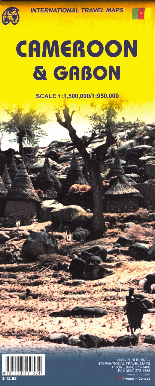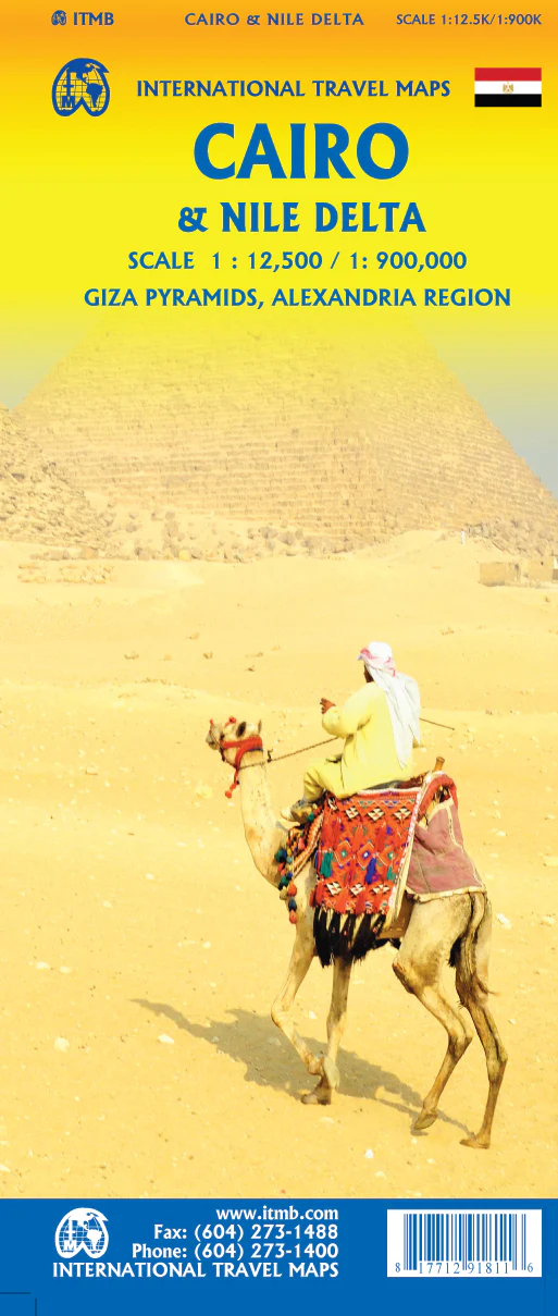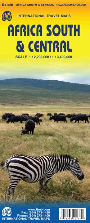
Africa South & Central ITMB Map
The Ultimate Reference for Exploring Southern & Central Africa
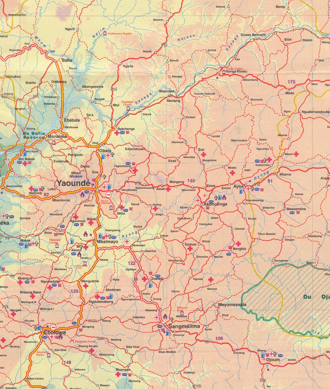
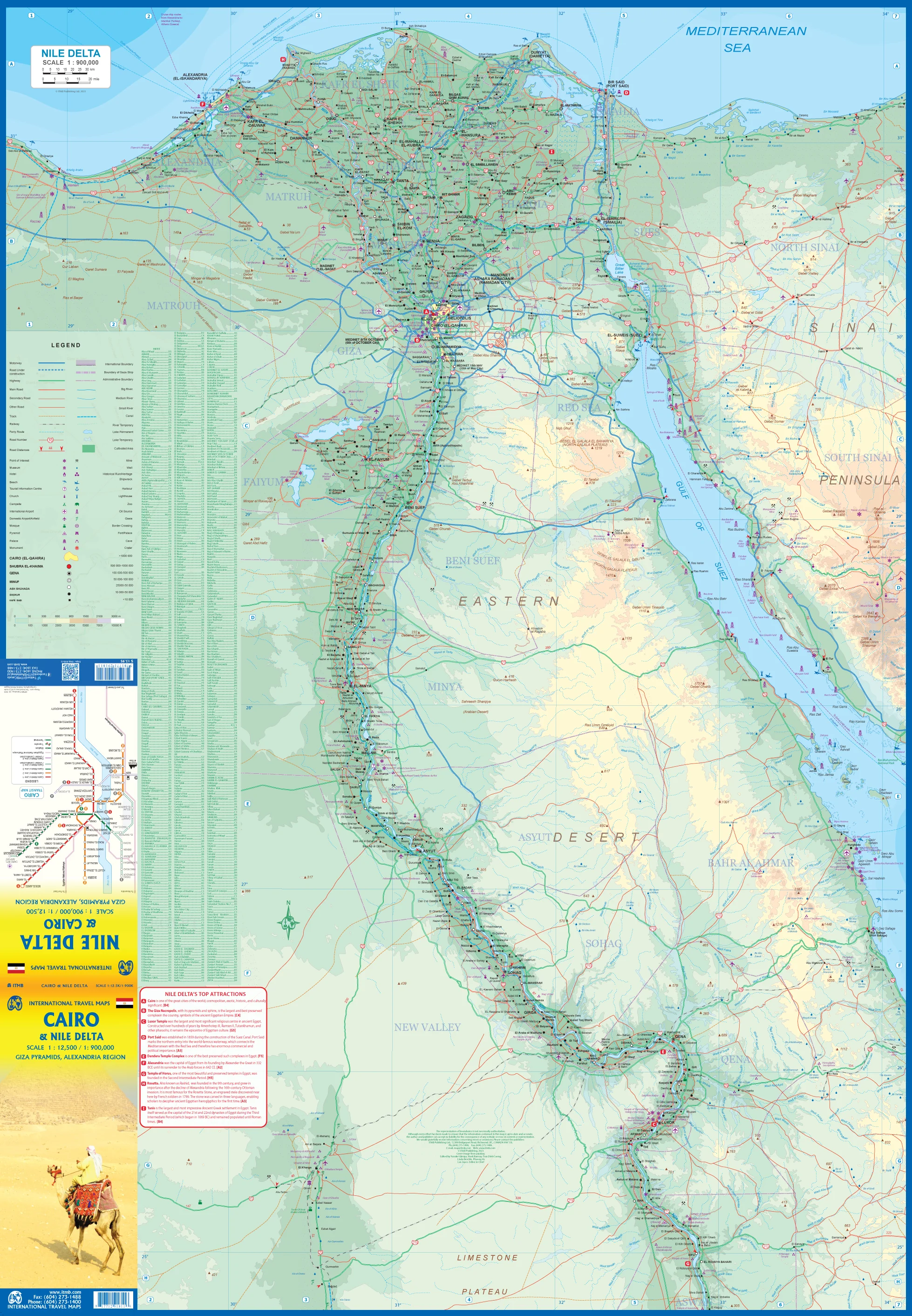
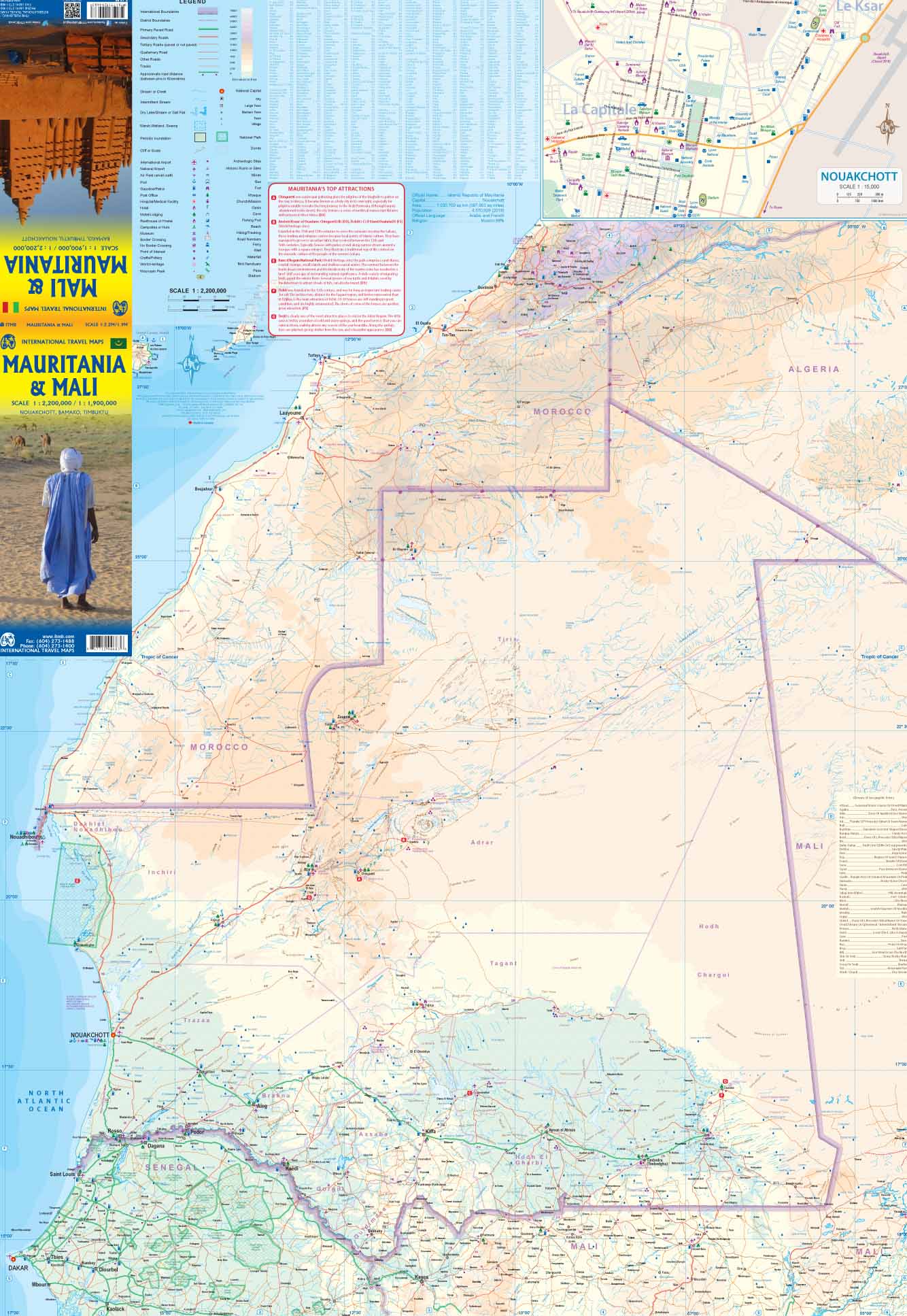
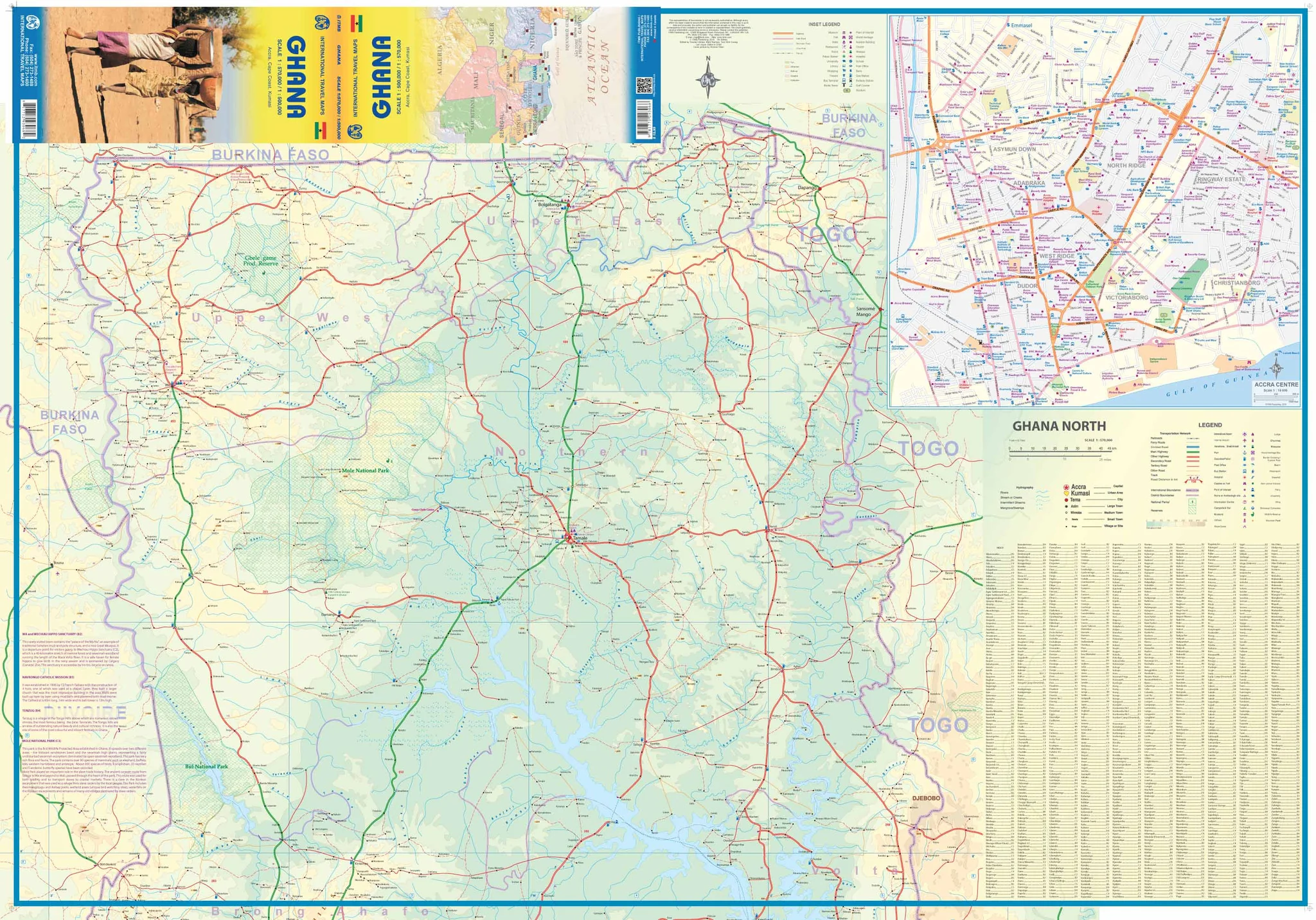
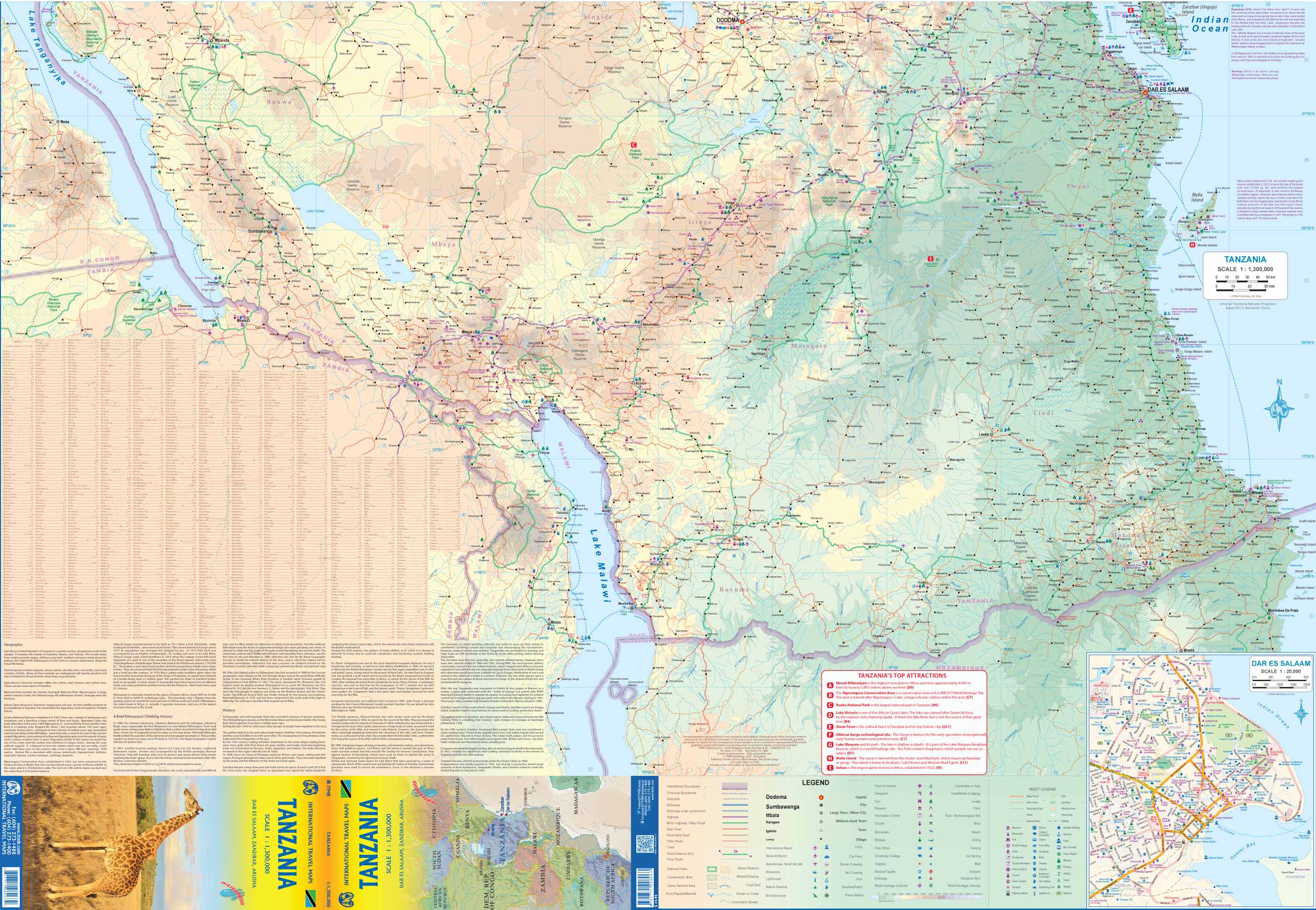
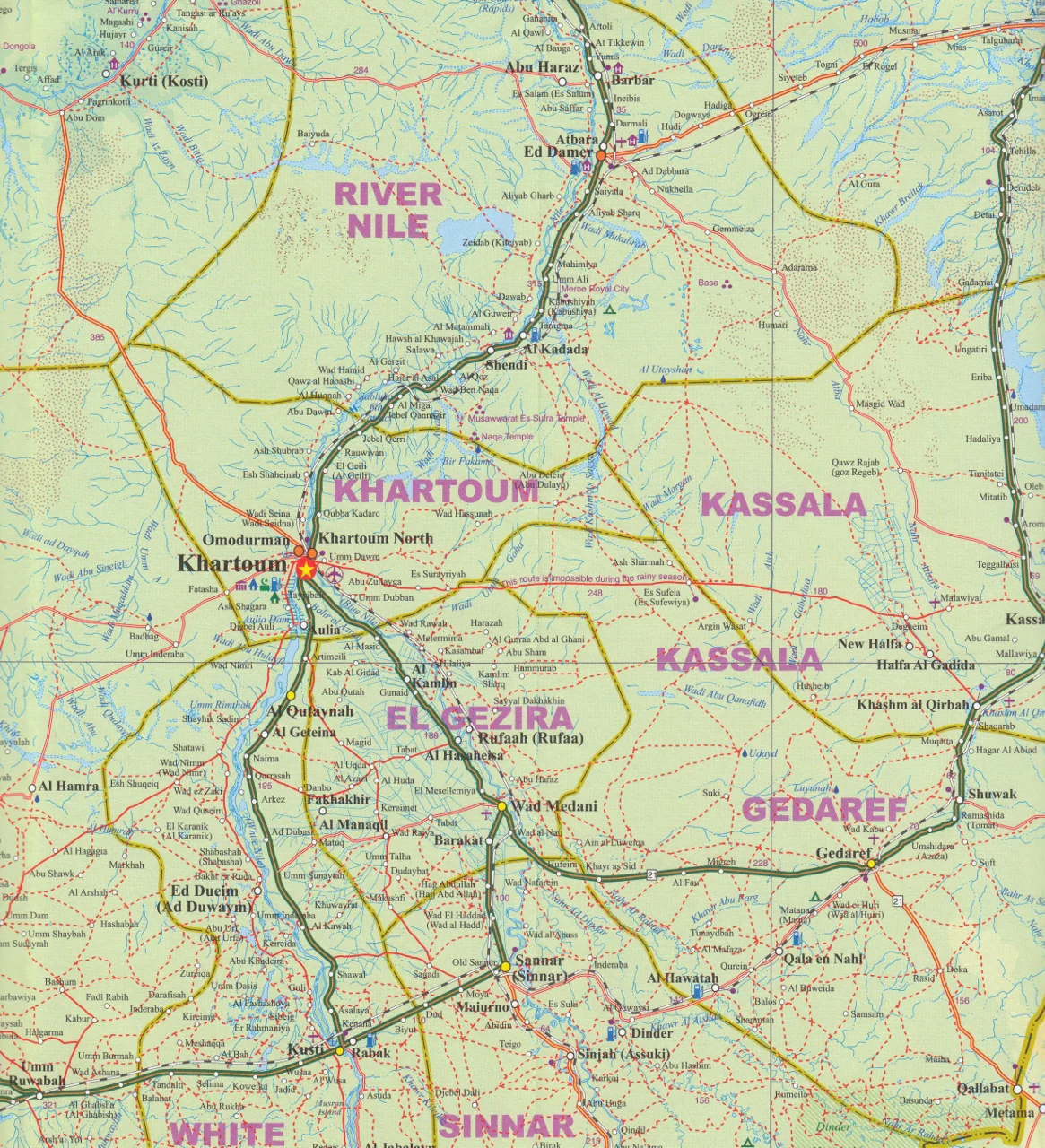
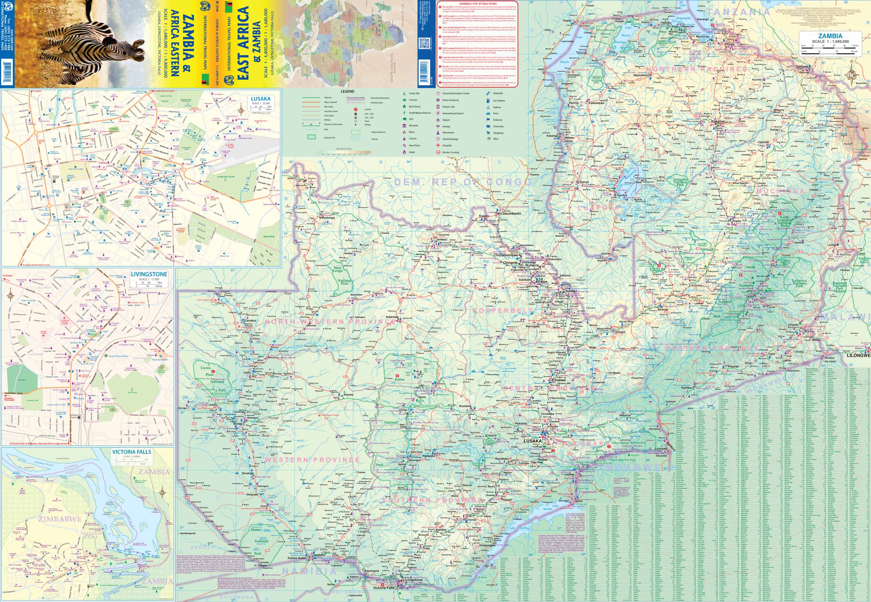
Discover the vast and diverse landscapes of Southern and Central Africa with this detailed, two-sided map from International Travel Maps (ITMB)—a trusted name in global cartography. Covering the regions historically known as 'Central Africa'—the Rhodessias and Nyasaland, now modern-day Zambia, Malawi, and Zimbabwe—and extending across the wider southern portion of the continent, this map is perfect for travellers, educators, researchers, and anyone with an interest in the region’s geography and history.
🗺️ Features & Coverage
This map offers exceptional detail at scales of 1:3,400,000 and 1:2,200,000, presenting:
-
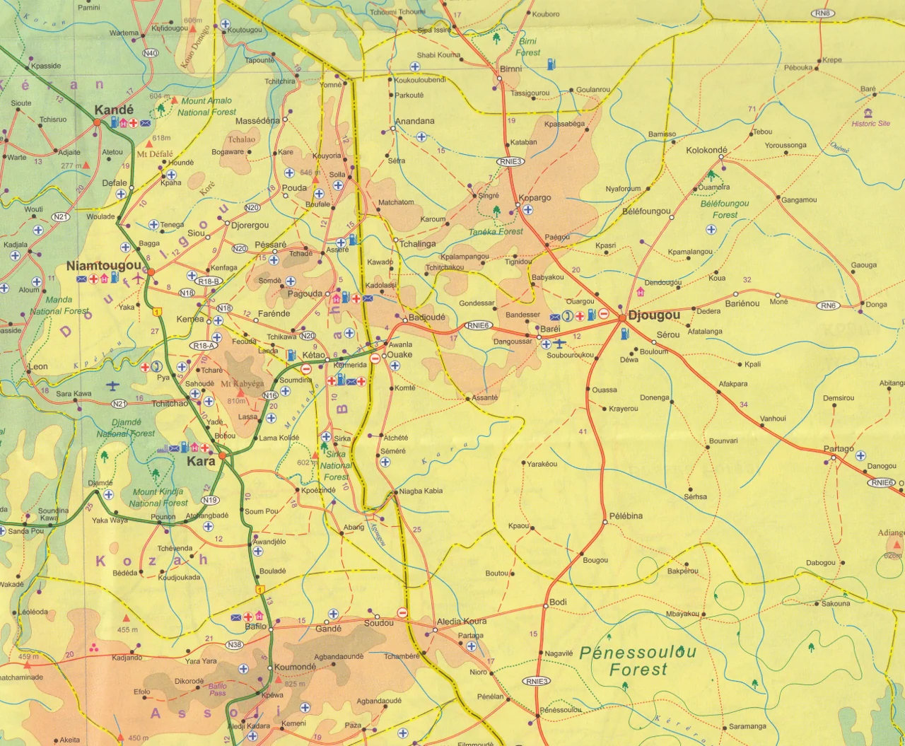
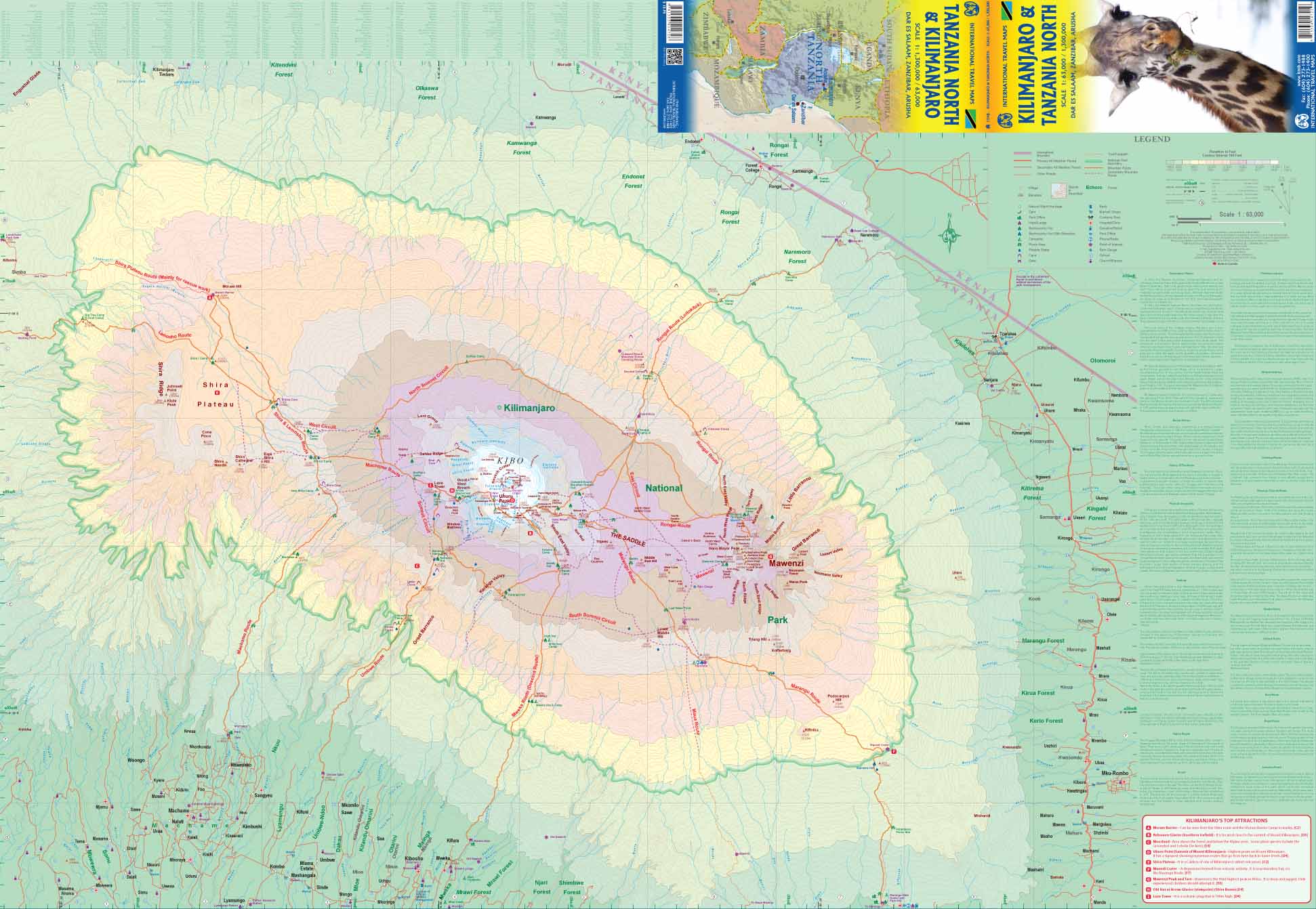
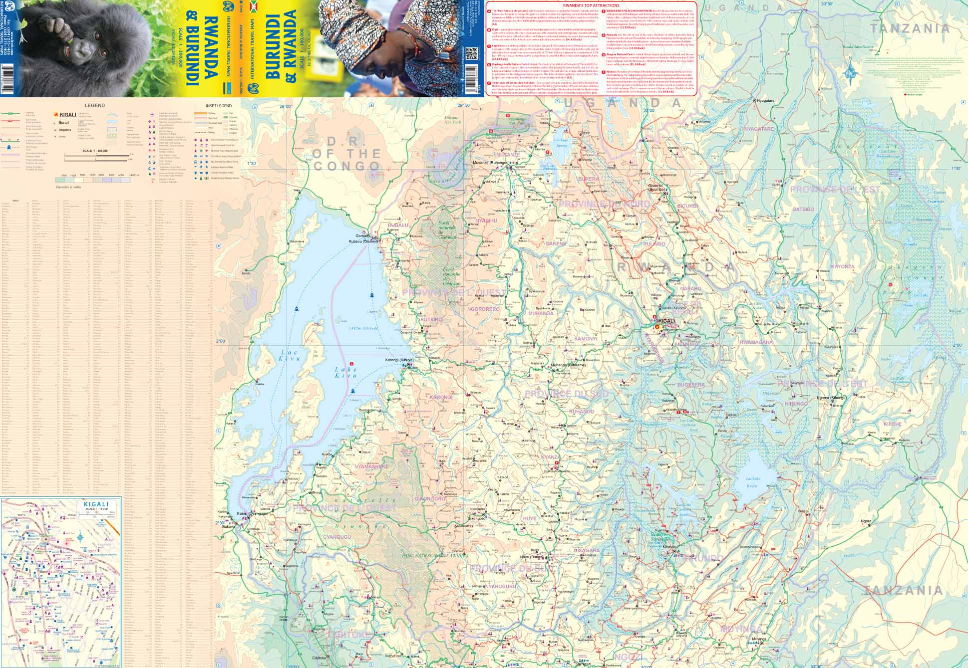
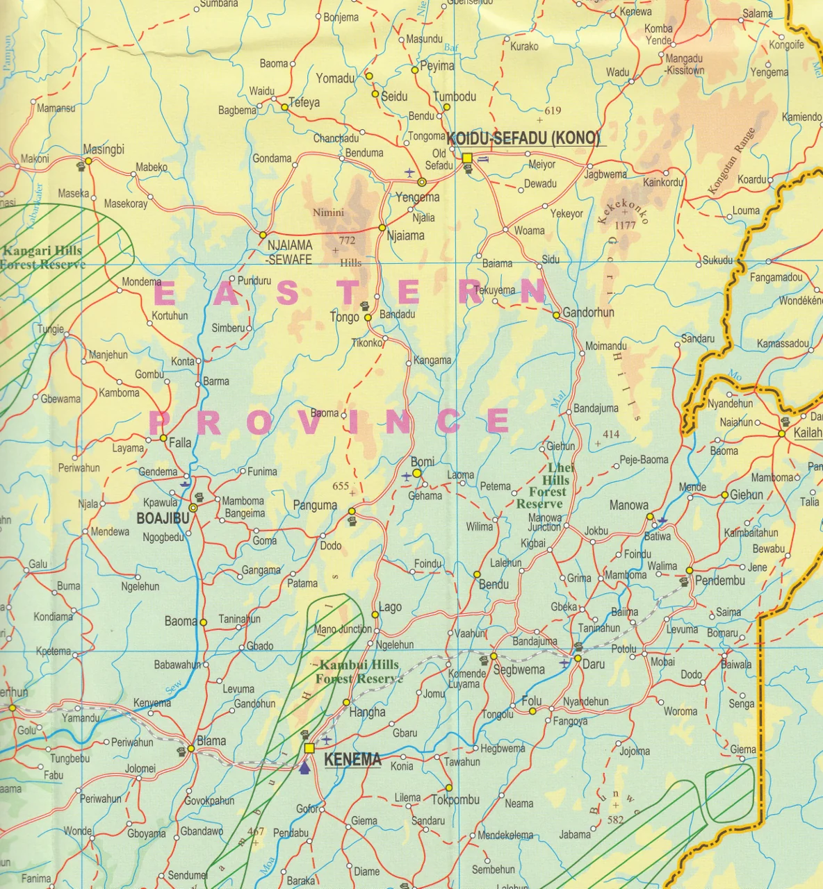
Modern & historical context: Shows contemporary country boundaries, names, and key cities while nodding to the region’s colonial past often referred to by old Africa hands as "Central Africa."
-
Complete road network: Includes major highways, minor roads, border crossings, and ferry routes—ideal for planning transcontinental road trips or overland adventures.
-
Railways & transport routes: Navigate railway lines, air routes, and important connections between key centres.
-
Natural features: Rivers, lakes, mountain ranges, national parks, conservation areas, and game reserves are clearly marked—perfect for planning safaris, field research, or ecotourism excursions.
-
Tourist & practical info: Icons highlight airports, hospitals, heritage sites, points of interest, and more.
🌟 Perfect For
-
Travellers & overlanders: Plan multi-country trips across Southern and Central Africa with a single, cohesive reference.
-
Researchers & educators: Use in classrooms or field studies for an up-to-date, comprehensive overview of the region.
-
Logistics & field teams: Plot routes, track distribution areas, or plan remote operations with confidence.
-
Historians & collectors: A unique addition to collections highlighting the changing political geography of Africa over time.
✅ Durability & Premium Finishing Options
We offer the option to laminate this map, which:
-
Allows you to draw with whiteboard markers and erase cleanly—great for planning, discussion, or training sessions.
-
Makes the map highly durable, resistant to tears, creases, and stains—ensuring it lasts for years.
-
Lets you apply removable map dots to highlight key locations, routes, or fieldwork sites without marking the map permanently.
Note: We prepare laminated maps by flattening the folded map and encapsulating it between two sheets of 80-micron gloss laminate. Some slight fold lines may remain visible from the original map.
📐 Specifications
| Attribute | Details |
|---|---|
| Title | Africa South & Central ITMB Map |
| Coverage | Southern Africa & Central Africa (Zambia, Malawi, Zimbabwe, plus surrounding regions) |
| Scale | 1:3,400,000 / 1:2,200,000 (two-sided map) |
| Size | 1350 mm (W) x 1000 mm (H) |
| Material options | Folded paper or laminated (80-micron gloss laminate) |
| Delivery | Made to order—please allow 7-10 working days for laminated version |
🎯 Why Choose This Map?
| Feature | Benefit |
|---|---|
| Covers multiple countries | Perfect for regional planning and cross-border travel |
| Latest mapping data | Combines modern place names with historical context |
| Durable laminated option | Ideal for field use, classrooms, or high-use environments |
| Intuitive design | Easy-to-read fonts, modern symbology, clear legends |
Bring Africa’s southern and central heartlands into focus—order this ITMB map today and plan your next adventure, research project, or journey of discovery with confidence and clarity.
Product Information
Product Information
Shipping & Returns
Shipping & Returns
Description
The Ultimate Reference for Exploring Southern & Central Africa
Discover the vast and diverse landscapes of Southern and Central Africa with this detailed, two-sided map from International Travel Maps (ITMB)—a trusted name in global cartography. Covering the regions historically known as 'Central Africa'—the Rhodessias and Nyasaland, now modern-day Zambia, Malawi, and Zimbabwe—and extending across the wider southern portion of the continent, this map is perfect for travellers, educators, researchers, and anyone with an interest in the region’s geography and history.
🗺️ Features & Coverage
This map offers exceptional detail at scales of 1:3,400,000 and 1:2,200,000, presenting:
-
Modern & historical context: Shows contemporary country boundaries, names, and key cities while nodding to the region’s colonial past often referred to by old Africa hands as "Central Africa."
-
Complete road network: Includes major highways, minor roads, border crossings, and ferry routes—ideal for planning transcontinental road trips or overland adventures.
-
Railways & transport routes: Navigate railway lines, air routes, and important connections between key centres.
-
Natural features: Rivers, lakes, mountain ranges, national parks, conservation areas, and game reserves are clearly marked—perfect for planning safaris, field research, or ecotourism excursions.
-
Tourist & practical info: Icons highlight airports, hospitals, heritage sites, points of interest, and more.
🌟 Perfect For
-
Travellers & overlanders: Plan multi-country trips across Southern and Central Africa with a single, cohesive reference.
-
Researchers & educators: Use in classrooms or field studies for an up-to-date, comprehensive overview of the region.
-
Logistics & field teams: Plot routes, track distribution areas, or plan remote operations with confidence.
-
Historians & collectors: A unique addition to collections highlighting the changing political geography of Africa over time.
✅ Durability & Premium Finishing Options
We offer the option to laminate this map, which:
-
Allows you to draw with whiteboard markers and erase cleanly—great for planning, discussion, or training sessions.
-
Makes the map highly durable, resistant to tears, creases, and stains—ensuring it lasts for years.
-
Lets you apply removable map dots to highlight key locations, routes, or fieldwork sites without marking the map permanently.
Note: We prepare laminated maps by flattening the folded map and encapsulating it between two sheets of 80-micron gloss laminate. Some slight fold lines may remain visible from the original map.
📐 Specifications
| Attribute | Details |
|---|---|
| Title | Africa South & Central ITMB Map |
| Coverage | Southern Africa & Central Africa (Zambia, Malawi, Zimbabwe, plus surrounding regions) |
| Scale | 1:3,400,000 / 1:2,200,000 (two-sided map) |
| Size | 1350 mm (W) x 1000 mm (H) |
| Material options | Folded paper or laminated (80-micron gloss laminate) |
| Delivery | Made to order—please allow 7-10 working days for laminated version |
🎯 Why Choose This Map?
| Feature | Benefit |
|---|---|
| Covers multiple countries | Perfect for regional planning and cross-border travel |
| Latest mapping data | Combines modern place names with historical context |
| Durable laminated option | Ideal for field use, classrooms, or high-use environments |
| Intuitive design | Easy-to-read fonts, modern symbology, clear legends |
Bring Africa’s southern and central heartlands into focus—order this ITMB map today and plan your next adventure, research project, or journey of discovery with confidence and clarity.