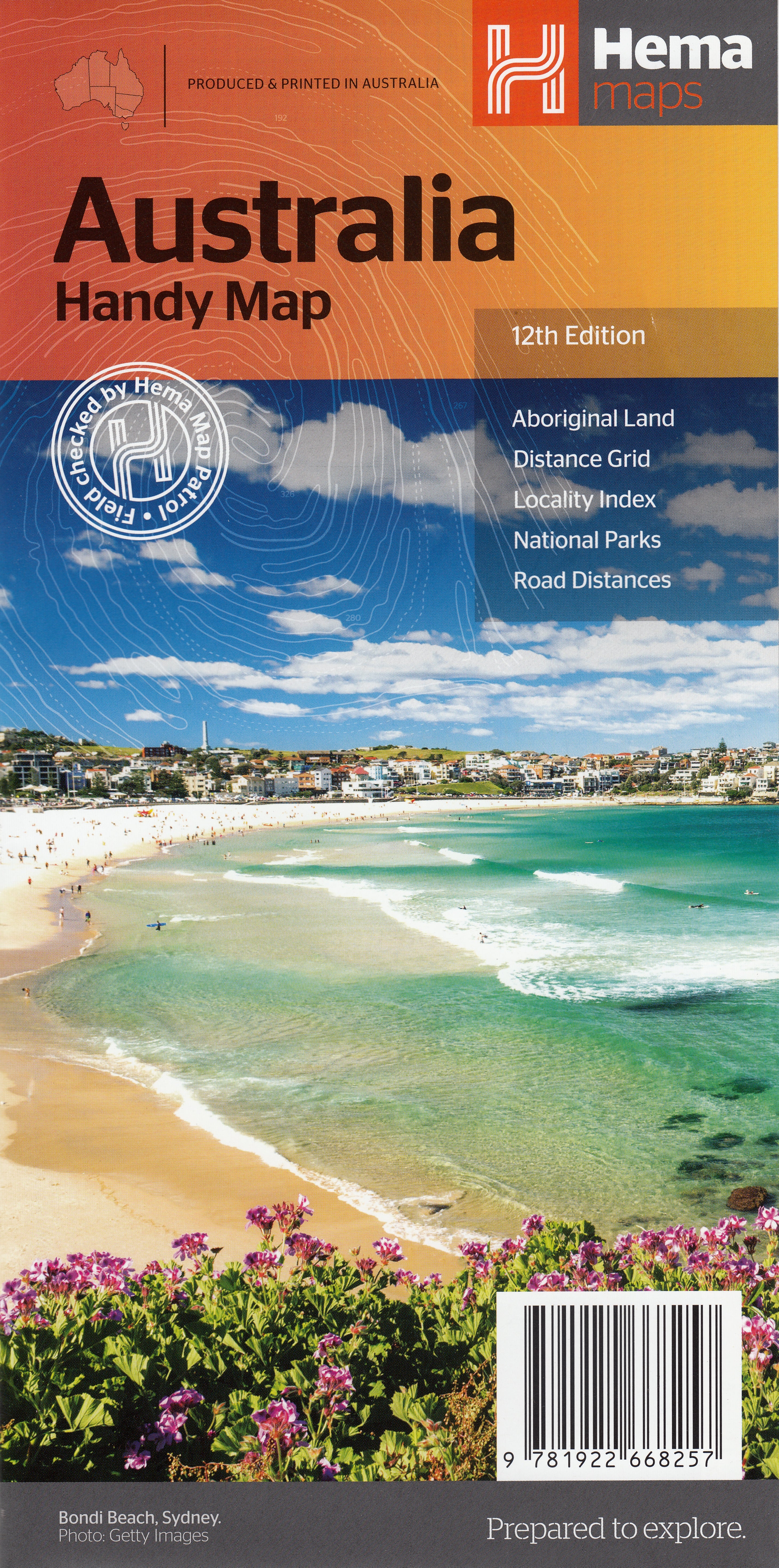
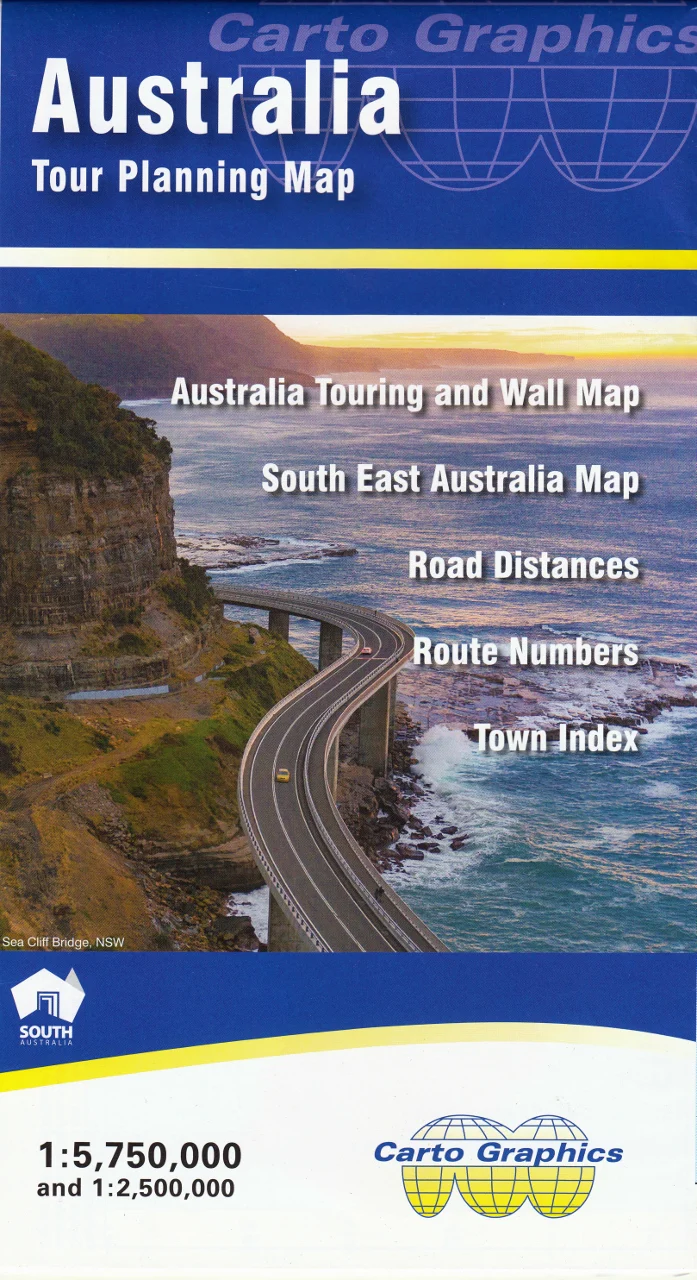
Australia 180 UBD Large Paper Folded Map
Scale: 1:5,800,000 | Size: 1000 mm (W) x 690 mm (H)
A comprehensive, fully updated overview of the entire continent
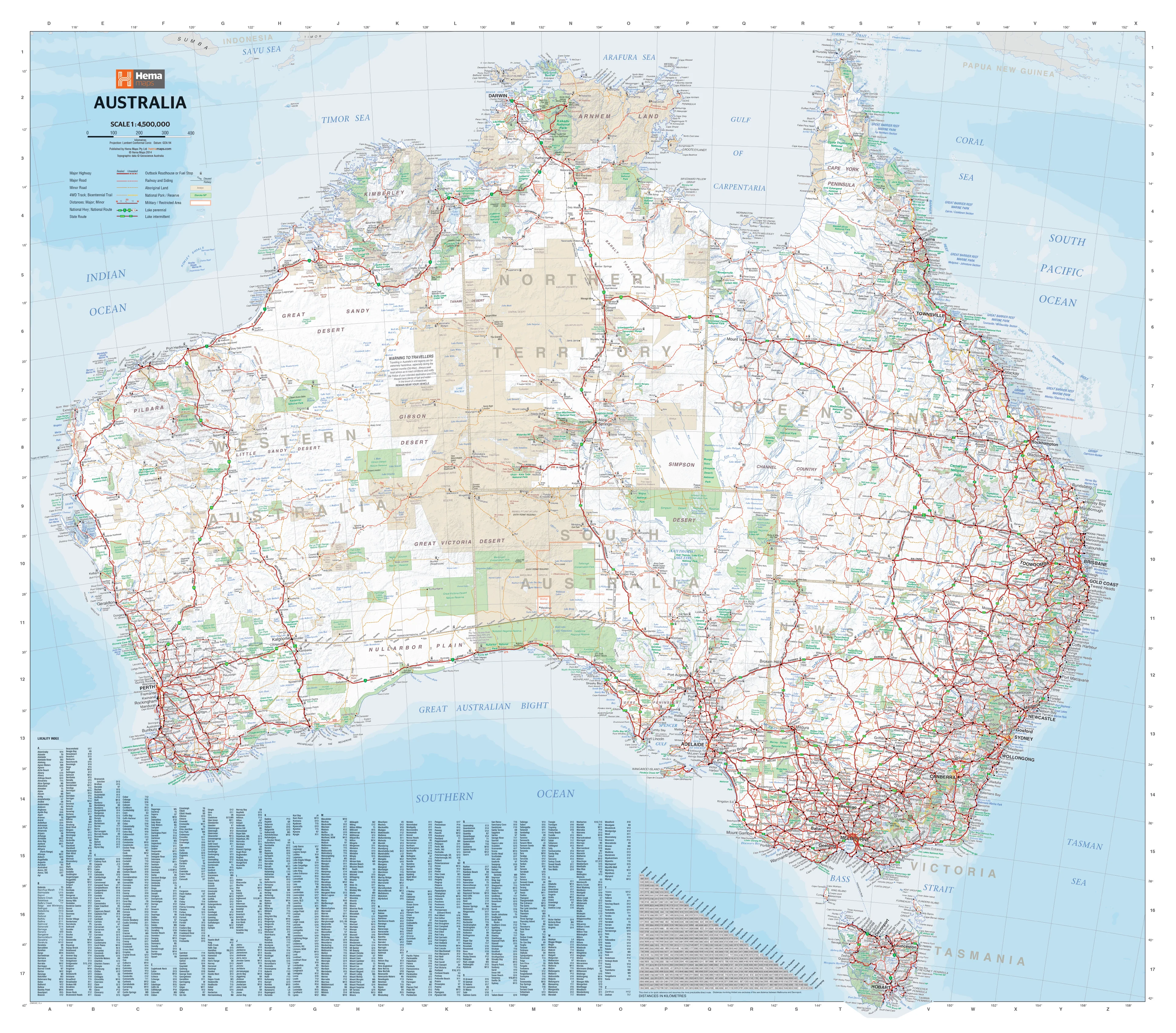
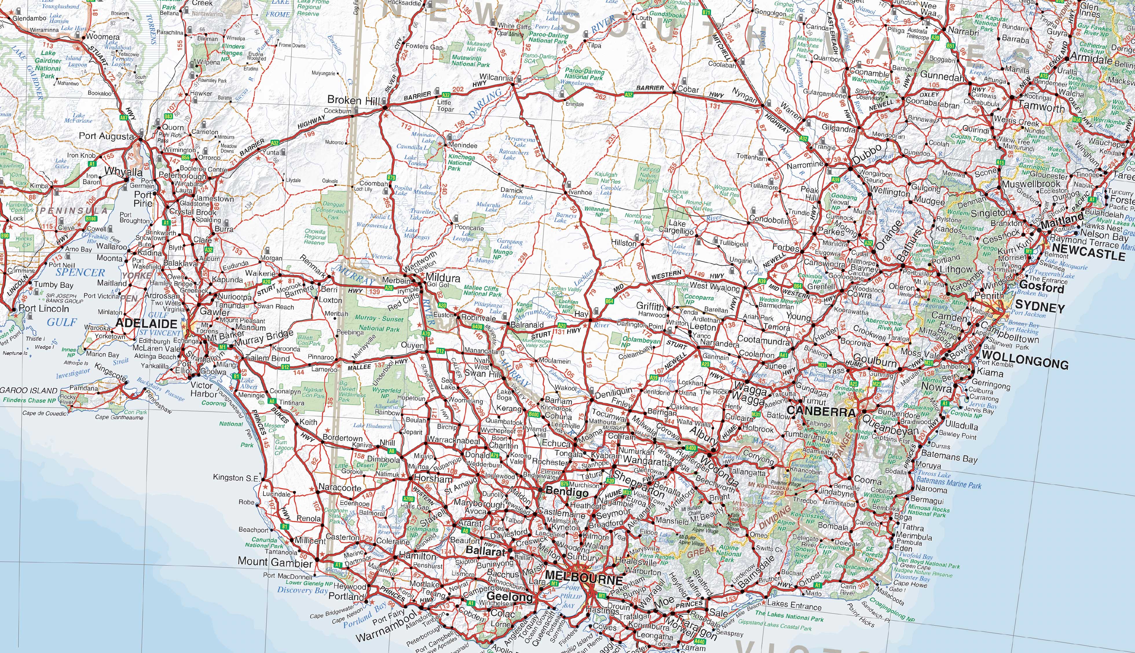
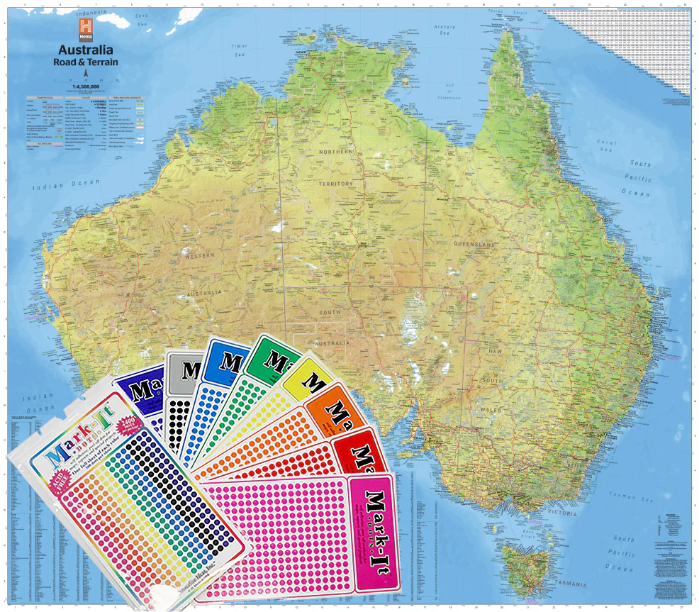
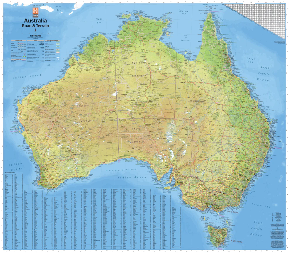
Whether you're planning an epic road trip, researching remote communities, or simply want a clear, reliable map of Australia, the UBD 180 Australia Large Folded Map delivers excellent detail in a highly portable format. Produced by one of Australia’s most trusted cartographic publishers, this map brings together an exceptional range of information for both casual users and serious travellers.
🗺️ Features at a Glance
-
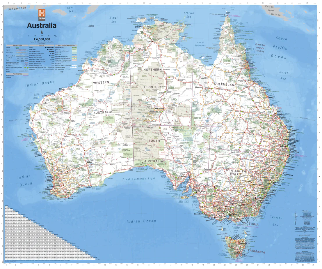
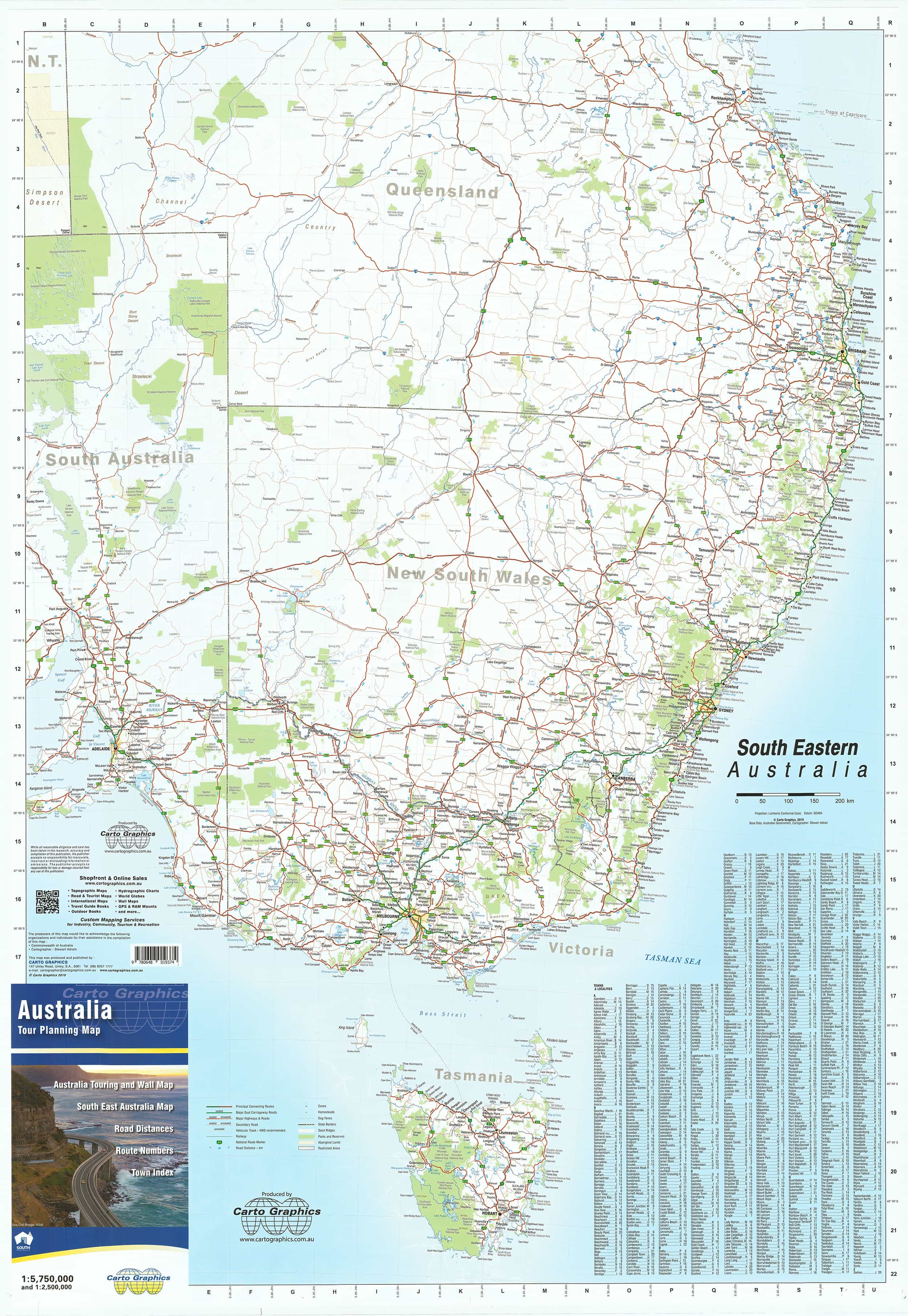
National Overview
Clearly displays cities, towns, and remote homesteads across Australia
Includes national parks, reserves, Aboriginal lands, and state parks
Shows railway lines, major infrastructure, and populated regions -
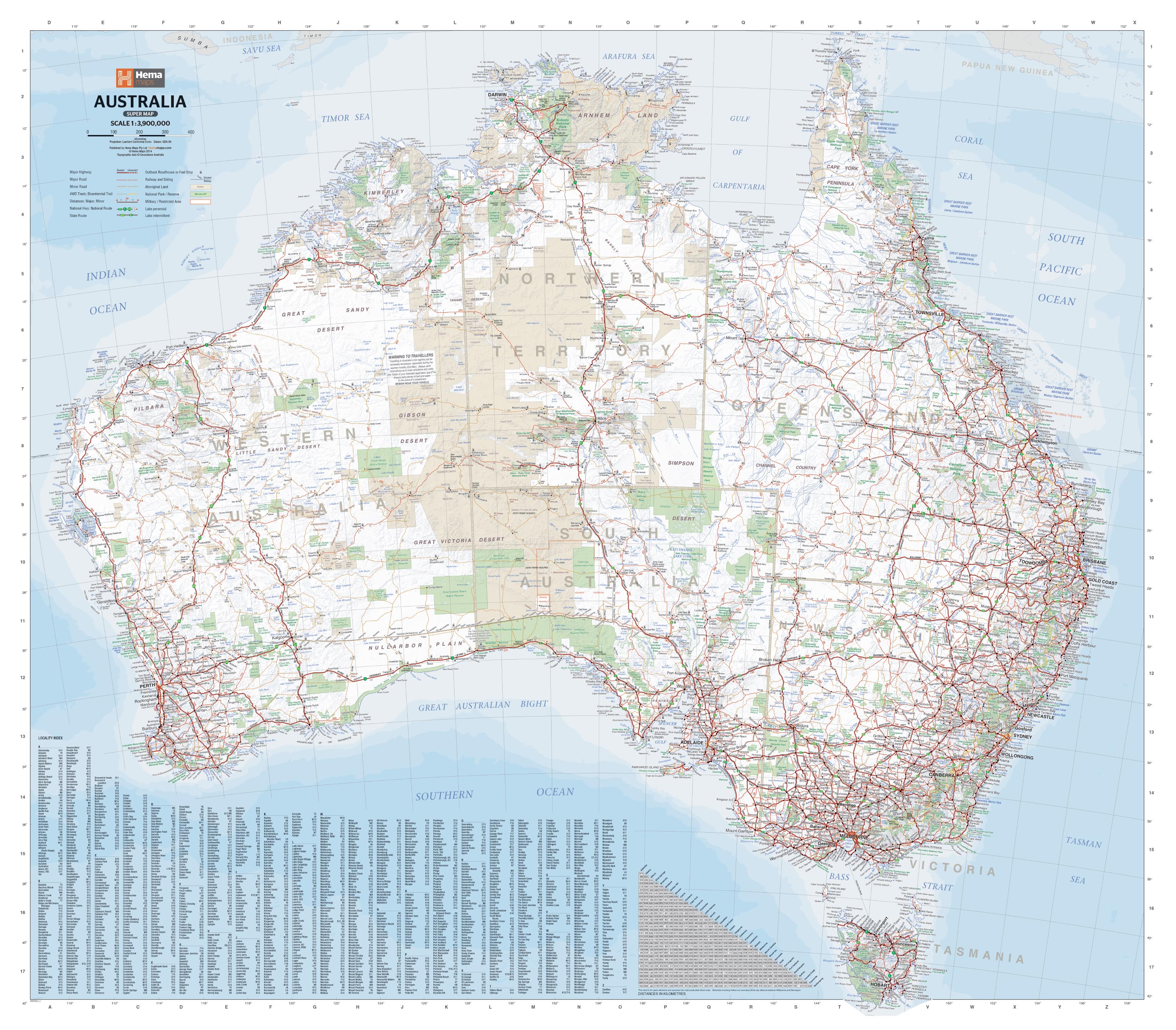
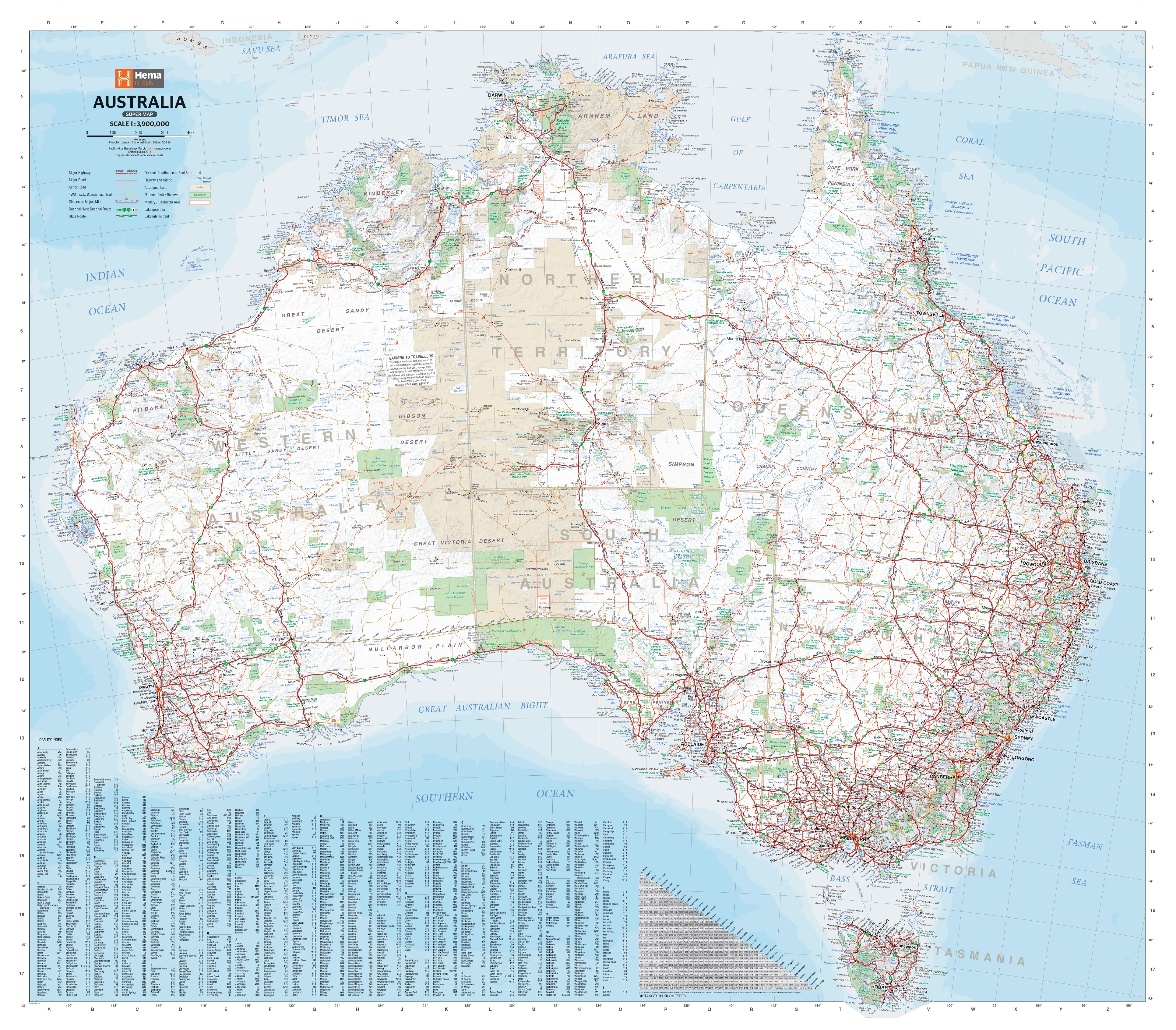
Road Network Clarity
All major and minor roads are mapped and classified
Differentiates between:-
Dual carriageways
-
Through routes
-
Major and minor sealed roads
-
Unsealed tracks and outback routes
-
-
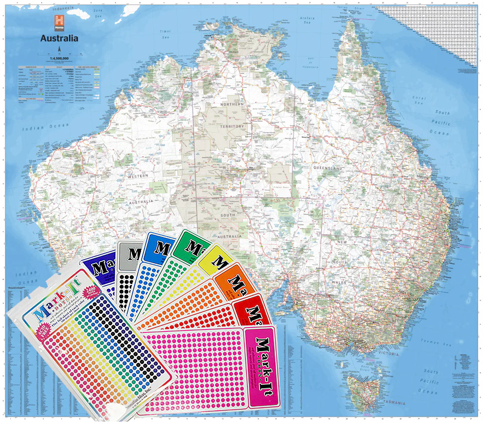
Inset Capital City Maps (with detailed urban layouts):
-
Brisbane, Melbourne & Sydney — Scale: 1:20,400
-
Canberra, Darwin, Hobart & Perth — Scale: 1:25,500
-
Adelaide — Scale: 1:30,600
-
-
Distance Chart
Easy-to-use reference showing distances between major cities and towns — ideal for itinerary planning -
Additional Thematic Maps Included:
-
Time Zones across Australia
-
Climatic Regions
-
Rainfall Distribution Map
-
-
Comprehensive Index
Includes an easy-to-read list of place names with coordinates for quick location lookup
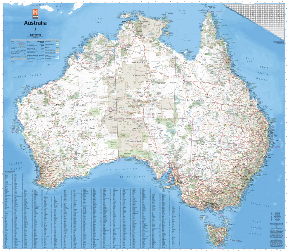
📐 Product Specifications
| Feature | Description |
|---|---|
| Title | Australia 180 UBD Map |
| Publisher | UBD Gregory’s |
| Format | Folded Paper Map |
| Scale | 1:5,800,000 |
| Size | 1000 mm wide x 690 mm high |
| Insets | Capital city street maps |
| Extras | Distance chart, time zones, climate and rainfall maps |
| Index | Comprehensive place name index included |
🌏 Ideal For:
-
Travellers and road-trippers planning long-distance drives
-
Caravaners and grey nomads navigating rural and remote routes
-
Schools, classrooms, and educational use
-
Businesses operating nationally or regionally
-
Anyone seeking a complete view of Australia’s vast and diverse landscape
Whether you’re crossing the Nullarbor, navigating the East Coast highways, or planning a journey through the Red Centre, this large-format Australia map from UBD is an indispensable tool for seeing the big picture—and finding your place in it.
Original: $9.98
-65%$9.98
$3.49Product Information
Product Information
Shipping & Returns
Shipping & Returns
Description
Scale: 1:5,800,000 | Size: 1000 mm (W) x 690 mm (H)
A comprehensive, fully updated overview of the entire continent
Whether you're planning an epic road trip, researching remote communities, or simply want a clear, reliable map of Australia, the UBD 180 Australia Large Folded Map delivers excellent detail in a highly portable format. Produced by one of Australia’s most trusted cartographic publishers, this map brings together an exceptional range of information for both casual users and serious travellers.
🗺️ Features at a Glance
-
National Overview
Clearly displays cities, towns, and remote homesteads across Australia
Includes national parks, reserves, Aboriginal lands, and state parks
Shows railway lines, major infrastructure, and populated regions -
Road Network Clarity
All major and minor roads are mapped and classified
Differentiates between:-
Dual carriageways
-
Through routes
-
Major and minor sealed roads
-
Unsealed tracks and outback routes
-
-
Inset Capital City Maps (with detailed urban layouts):
-
Brisbane, Melbourne & Sydney — Scale: 1:20,400
-
Canberra, Darwin, Hobart & Perth — Scale: 1:25,500
-
Adelaide — Scale: 1:30,600
-
-
Distance Chart
Easy-to-use reference showing distances between major cities and towns — ideal for itinerary planning -
Additional Thematic Maps Included:
-
Time Zones across Australia
-
Climatic Regions
-
Rainfall Distribution Map
-
-
Comprehensive Index
Includes an easy-to-read list of place names with coordinates for quick location lookup
📐 Product Specifications
| Feature | Description |
|---|---|
| Title | Australia 180 UBD Map |
| Publisher | UBD Gregory’s |
| Format | Folded Paper Map |
| Scale | 1:5,800,000 |
| Size | 1000 mm wide x 690 mm high |
| Insets | Capital city street maps |
| Extras | Distance chart, time zones, climate and rainfall maps |
| Index | Comprehensive place name index included |
🌏 Ideal For:
-
Travellers and road-trippers planning long-distance drives
-
Caravaners and grey nomads navigating rural and remote routes
-
Schools, classrooms, and educational use
-
Businesses operating nationally or regionally
-
Anyone seeking a complete view of Australia’s vast and diverse landscape
Whether you’re crossing the Nullarbor, navigating the East Coast highways, or planning a journey through the Red Centre, this large-format Australia map from UBD is an indispensable tool for seeing the big picture—and finding your place in it.