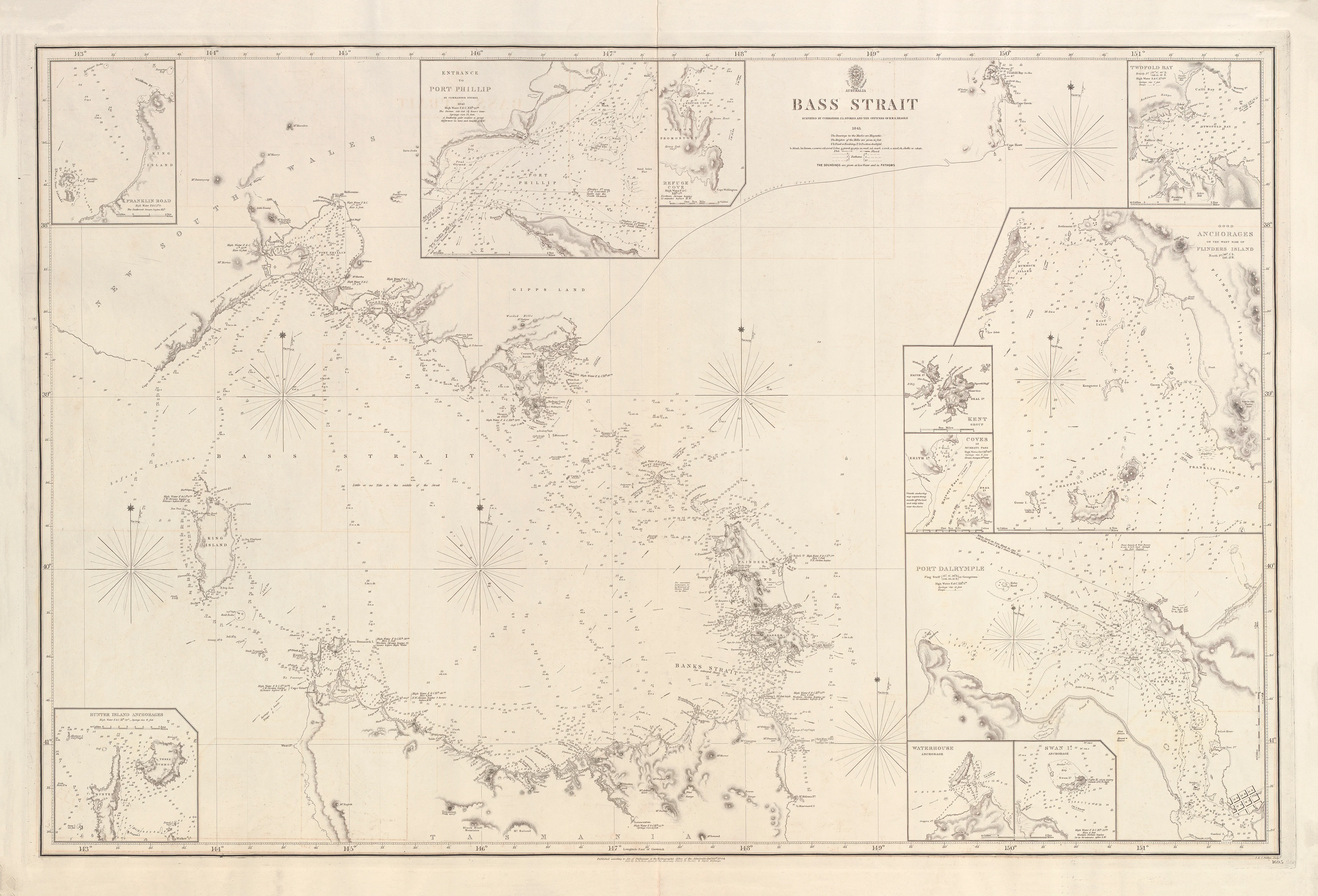
Australia — Bass Strait, Port Western (1843–1845)
A definitive Admiralty chart of Victoria’s great southern harbour
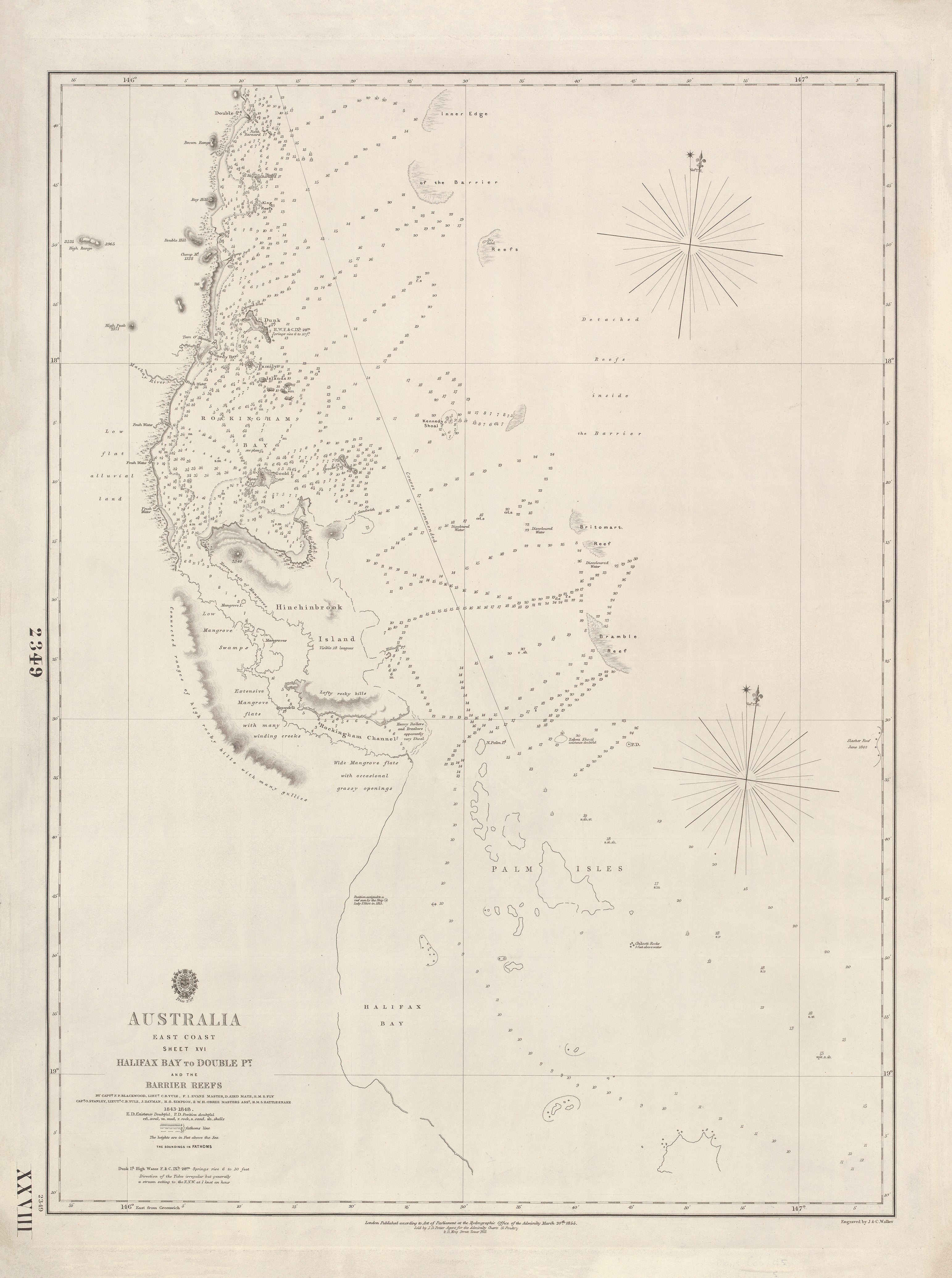
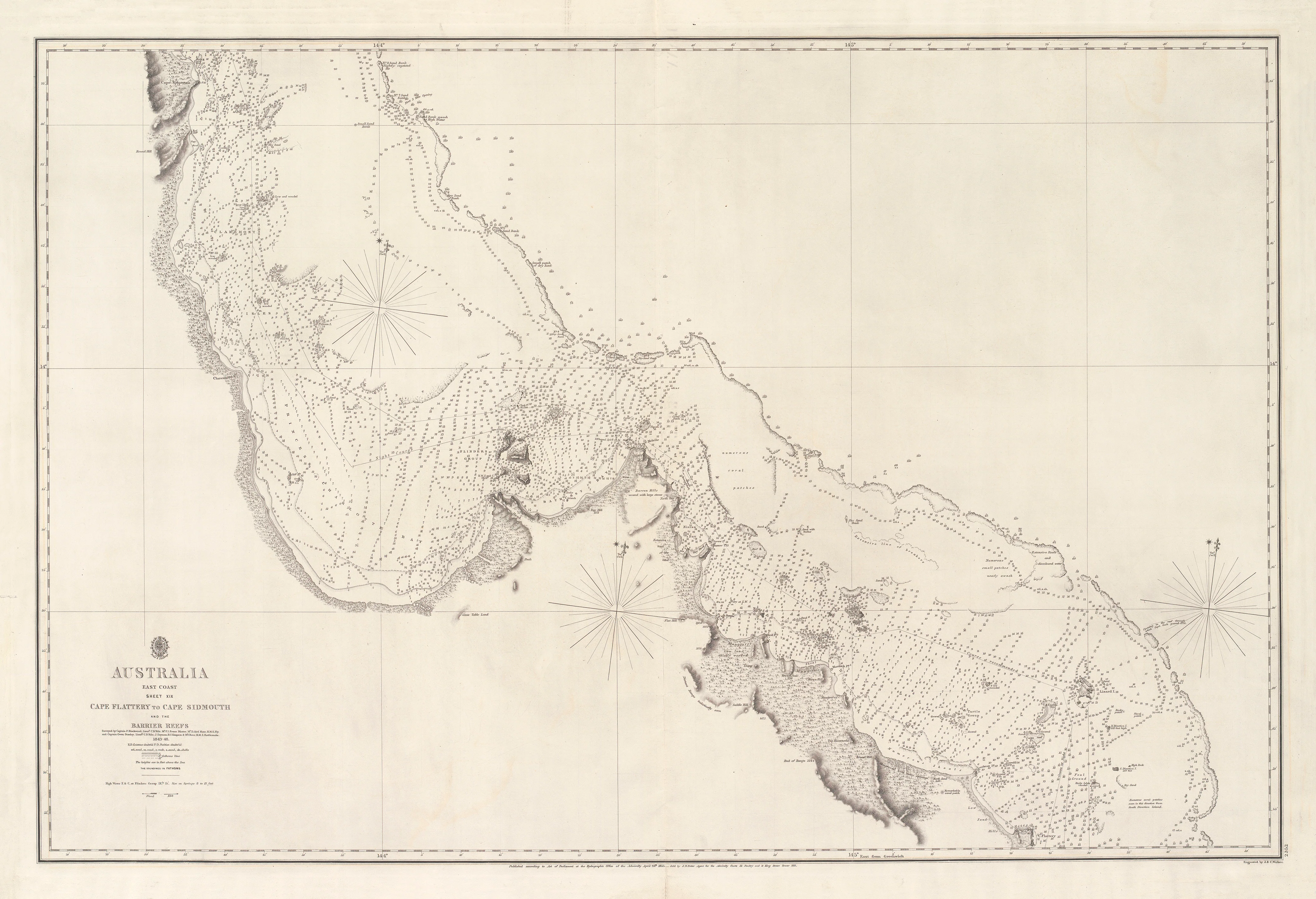
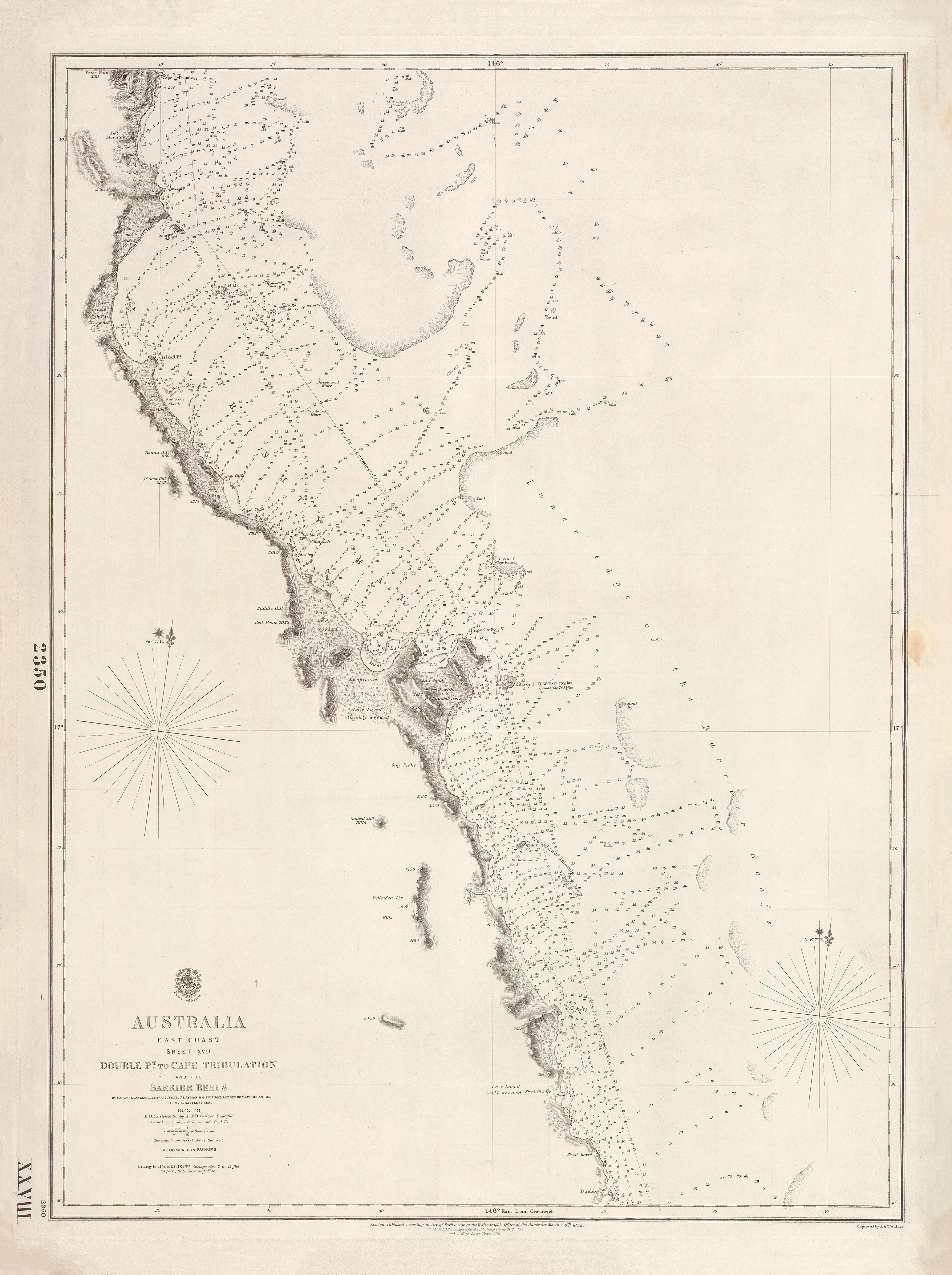
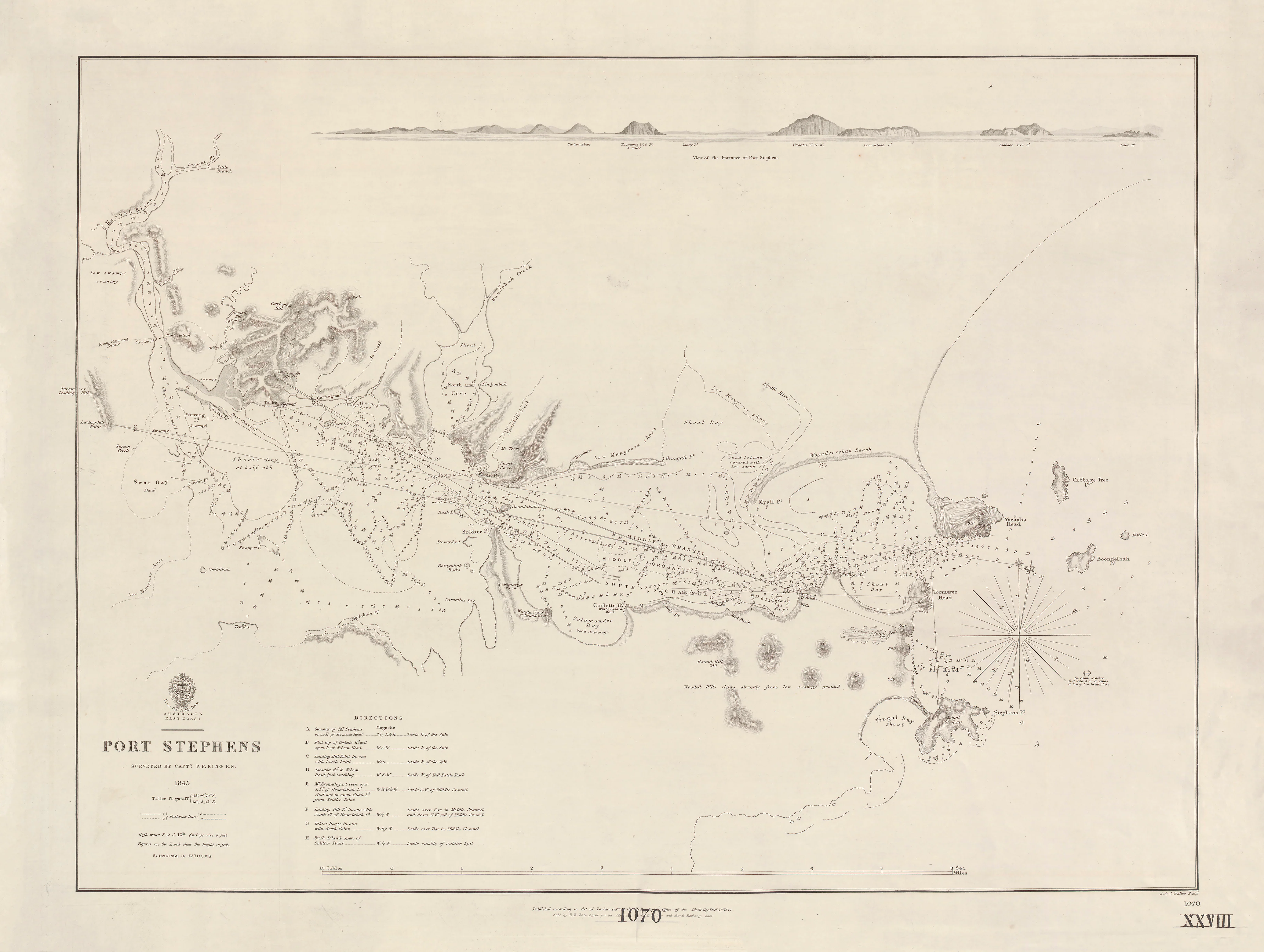
This finely engraved British Admiralty nautical chart records Port Western—today known as Western Port—one of the most significant natural harbours on the Victorian coast. Surveyed in 1843 by John Lort Stokes, and published in 1845, the chart captures the bay at a moment when accurate hydrographic knowledge underpinned colonial settlement, coastal trade, and safe navigation through Bass Strait.
Spanning from Cape Schanck in the west to Cape Paterson in the east, the chart presents Western Port in meticulous Admiralty detail—soundings, shoals, channels, and coastal relief rendered with the precision expected of Royal Navy surveys. Engraved by the renowned London firm J. & C. Walker, it stands as both a navigational instrument and a striking piece of maritime history.
🧭 What This Chart Shows
-
Western Port (Port Western) in full extent
-
Coastline from Cape Schanck to Cape Paterson
-
Bathymetric soundings throughout the bay
-
Hachured relief defining headlands and coastal form
-
Navigational channels and hazards
-
Greenwich prime meridian, Admiralty standard
⚓ Why This Chart Matters
-
Authoritative survey by J. Lort Stokes, one of Australia’s most important hydrographers
-
A primary Admiralty reference for Victorian coastal navigation
-
Documents Western Port’s early maritime role in settlement and trade
-
Superb 19th-century engraving by J. & C. Walker
-
Ideal balance of technical precision and decorative presence
✨ Premium Print & Display Options
Printed in Australia using archival methods to preserve fine engraving and historic character.
| Finish | Description |
|---|---|
| 📄 Heavyweight Paper (160 gsm matte) | Archival, smooth matte surface; ideal for framing under glass. |
| 🔒 Laminated (True Encapsulation) | Sealed between 2 × 80-micron gloss laminate; tear-resistant and wipe-clean. |
| 🎨 Archival Canvas (395 gsm HP Professional Matte) | Pigment-based, fade-resistant inks with a warm, gallery feel. |
| 🪵 Laminated + Timber Hang Rails | Natural lacquered timber rails, ready to hang (allow up to 10 working days). |
| 🪵 Canvas + Timber Hang Rails | Elegant, frame-free presentation with timber rails (allow up to 10 working days). |
📐 Size (W × H)
1000 mm (wide) × 750 mm (high)
Orientation: Landscape
Aspect ratio: ~1.33 : 1
Framing tips: Allow a 2–3 mm mat overlap when framing, or float-mount with a subtle ~3 mm reveal for a contemporary look.
Custom sizing: Available on request.
🎯 Ideal For
-
Victorian maritime and coastal history enthusiasts
-
Nautical chart collectors
-
Libraries, museums, and educational settings
-
Coastal homes, offices, and yacht clubs
🤝 Our Commitment
-
Printed locally in Australia
-
Archival pigment inks for long-term colour stability
-
Premium materials selected for clarity and durability
-
Each print hand-checked and carefully packed
A chart born of exploration and precision—
select your finish and bring this classic Admiralty depiction of Port Western into your space.