Australia — Port Albany (1848–1849)
A rare Admiralty chart from the inner waters of Torres Strait
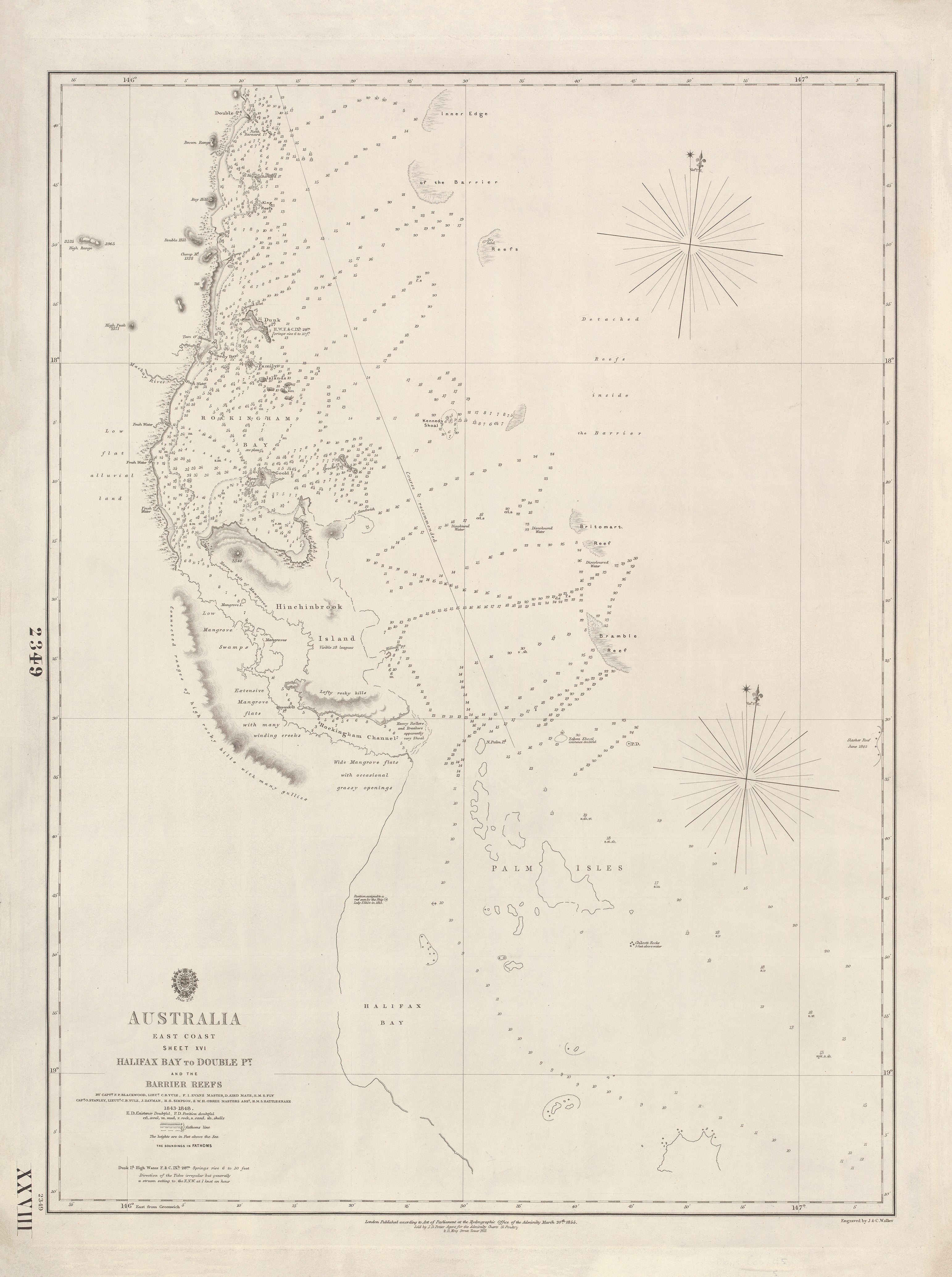
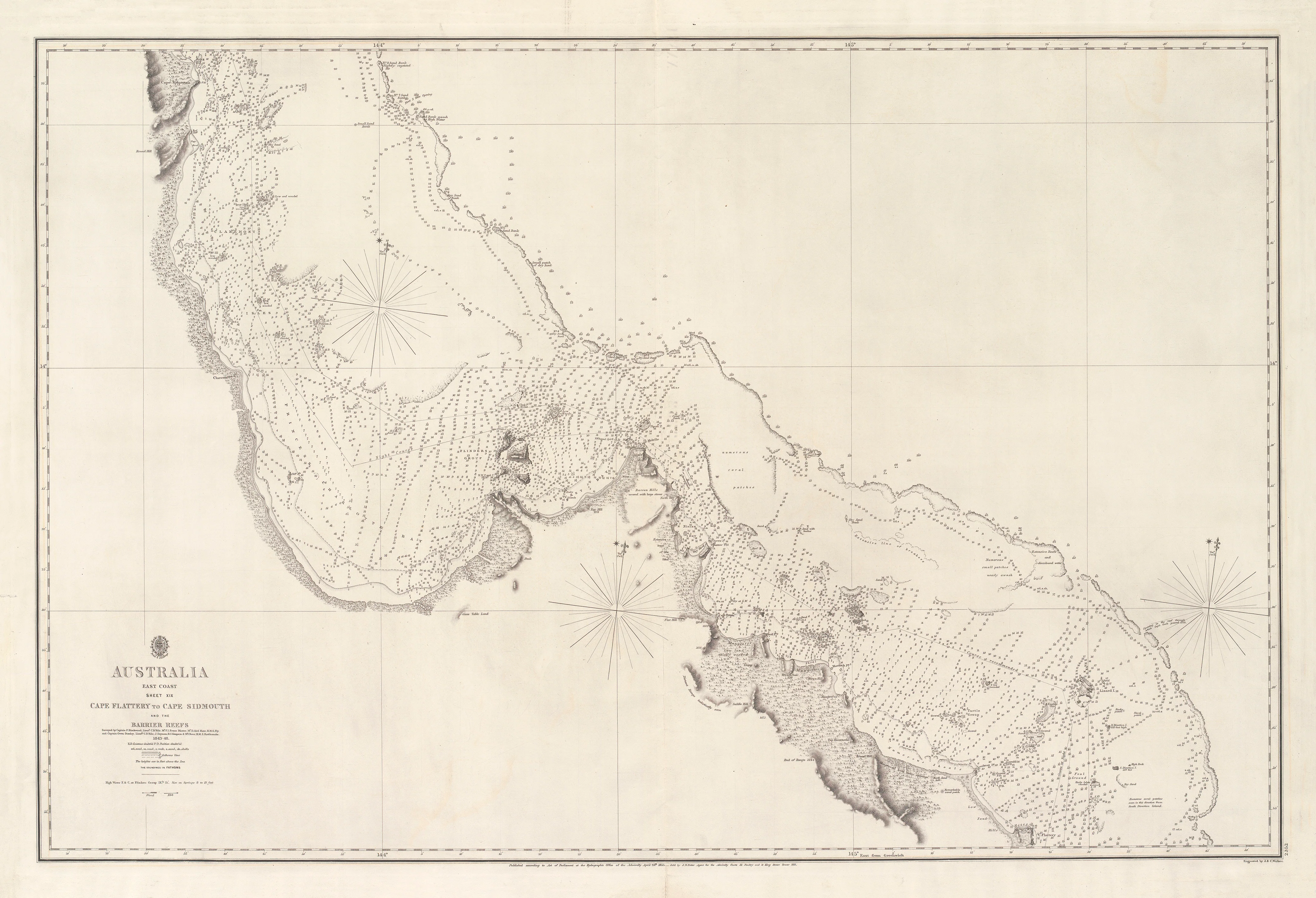
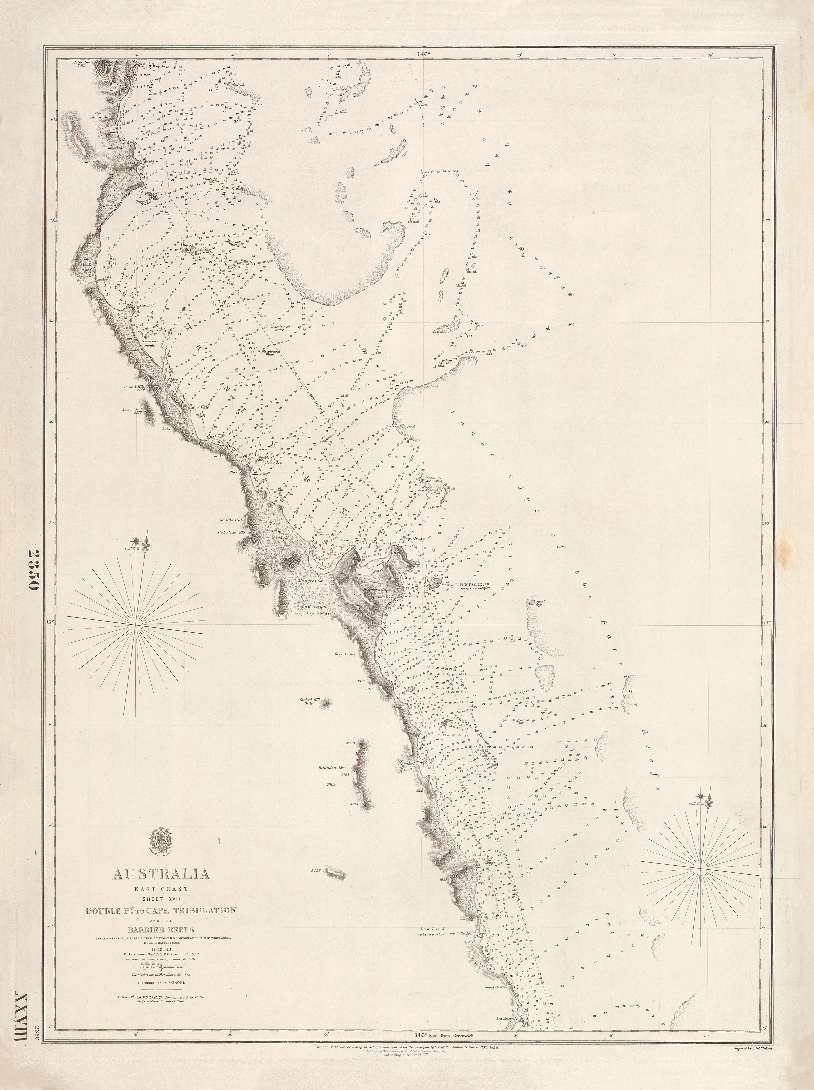
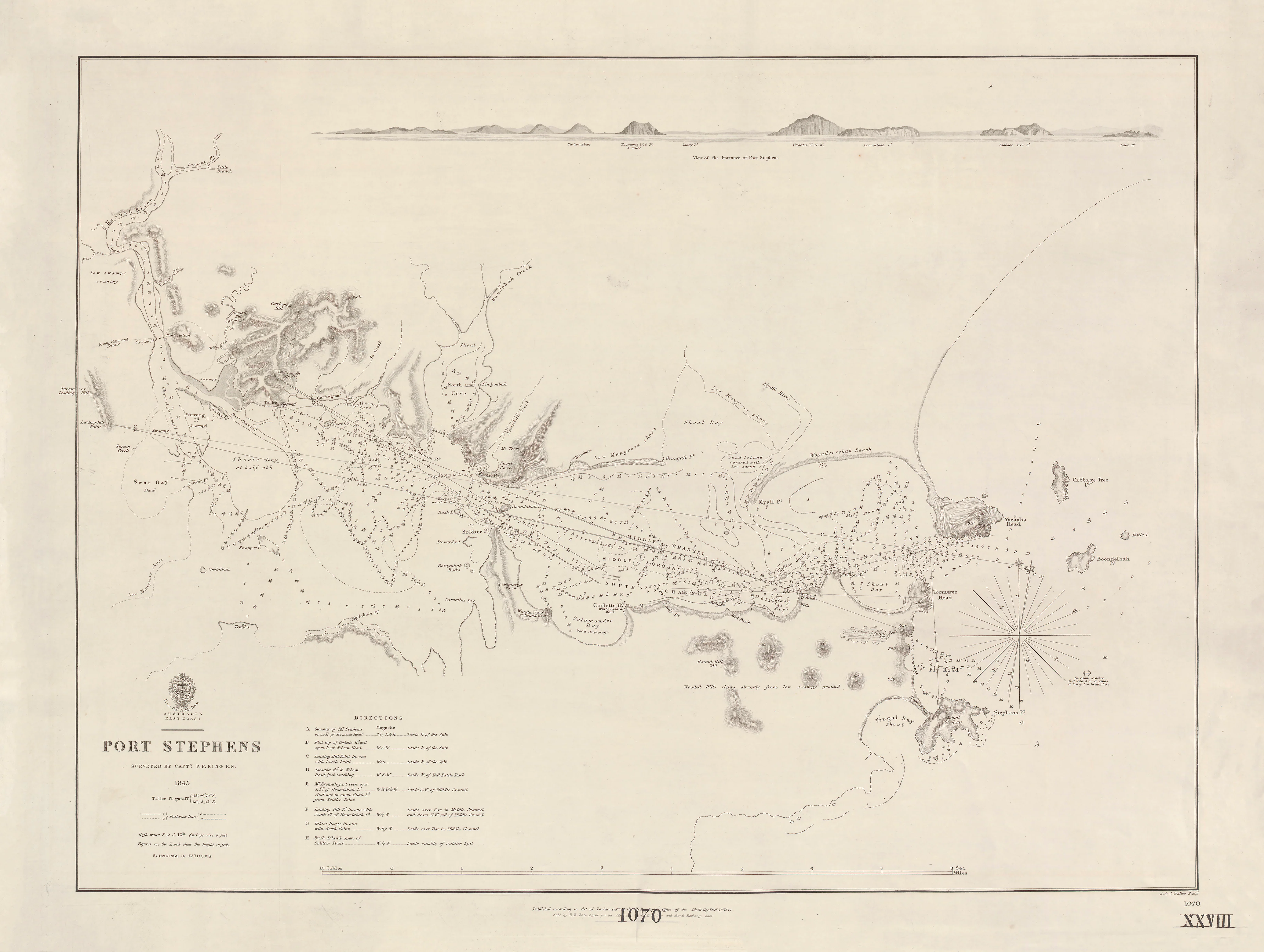
This finely detailed British Admiralty nautical chart depicts Port Albany, a sheltered anchorage on Albany Island, surveyed in 1848 by Owen Stanley and published in 1849. Situated on the eastern approaches to Torres Strait, Port Albany was an important waypoint in the complex island passages linking Australia to the Coral Sea and the wider Pacific.
Engraved by the distinguished London firm J. & C. Walker, the chart combines hydrographic precision with beautifully balanced composition. Soundings, bathymetric isolines, coastal relief, and pictorial vegetation all reflect the Admiralty’s mid-19th-century drive to make Australia’s northern waters safer for navigation, exploration, and imperial shipping routes.
🧭 What This Chart Shows
-
Port Albany, Albany Island, in full detail
-
Enlarged inset plan of Port Albany for close-quarters navigation
-
Bathymetric soundings & isolines throughout the harbour
-
Hachured relief and spot heights defining terrain
-
Pictorial vegetation marking coastal character
-
Greenwich prime meridian, Admiralty standard
⚓ Why This Chart Matters
-
Surveyed by Owen Stanley, a key figure in Royal Navy hydrography
-
Documents early Torres Strait navigation before modern charting
-
Fine Walker engraving with exceptional line clarity
-
A scarce regional chart of Albany Island’s strategic harbour
-
Combines scientific accuracy with strong visual presence
✨ Premium Print & Display Options
Printed in Australia using archival methods to preserve the chart’s fine linework and historic tone.
| Finish | Description |
|---|---|
| 📄 Heavyweight Paper (160 gsm matte) | Archival, smooth matte finish; ideal for framing under glass. |
| 🔒 Laminated (True Encapsulation) | Sealed between 2 × 80-micron gloss laminate; tear-resistant and wipe-clean. |
| 🎨 Archival Canvas (395 gsm HP Professional Matte) | Pigment-based, fade-resistant inks with a gallery feel. |
| 🪵 Laminated + Timber Hang Rails | Natural lacquered timber rails, ready to hang (allow up to 10 working days). |
| 🪵 Canvas + Timber Hang Rails | Elegant, frame-free presentation (allow up to 10 working days). |
📐 Size (W × H)
1000 mm × 770 mm
Orientation: Landscape
Aspect ratio: ~1.30 : 1
Framing tips: Allow a 2–3 mm mat overlap, or float-mount with a subtle ~3 mm reveal.
Custom sizing: Available on request.
🎯 Ideal For
-
Australian maritime and Torres Strait history collectors
-
Nautical chart and Admiralty map enthusiasts
-
Libraries, museums, and academic displays
-
Coastal homes, offices, and exploration-themed interiors
🤝 Our Commitment
-
Printed locally in Australia
-
Archival pigment inks for longevity
-
Premium materials and careful colour management
-
Every print hand-checked and packed with care
A precise and atmospheric window into 19th-century navigation at Australia’s northern edge—
choose your finish and add this rare Admiralty chart of Port Albany to your collection.