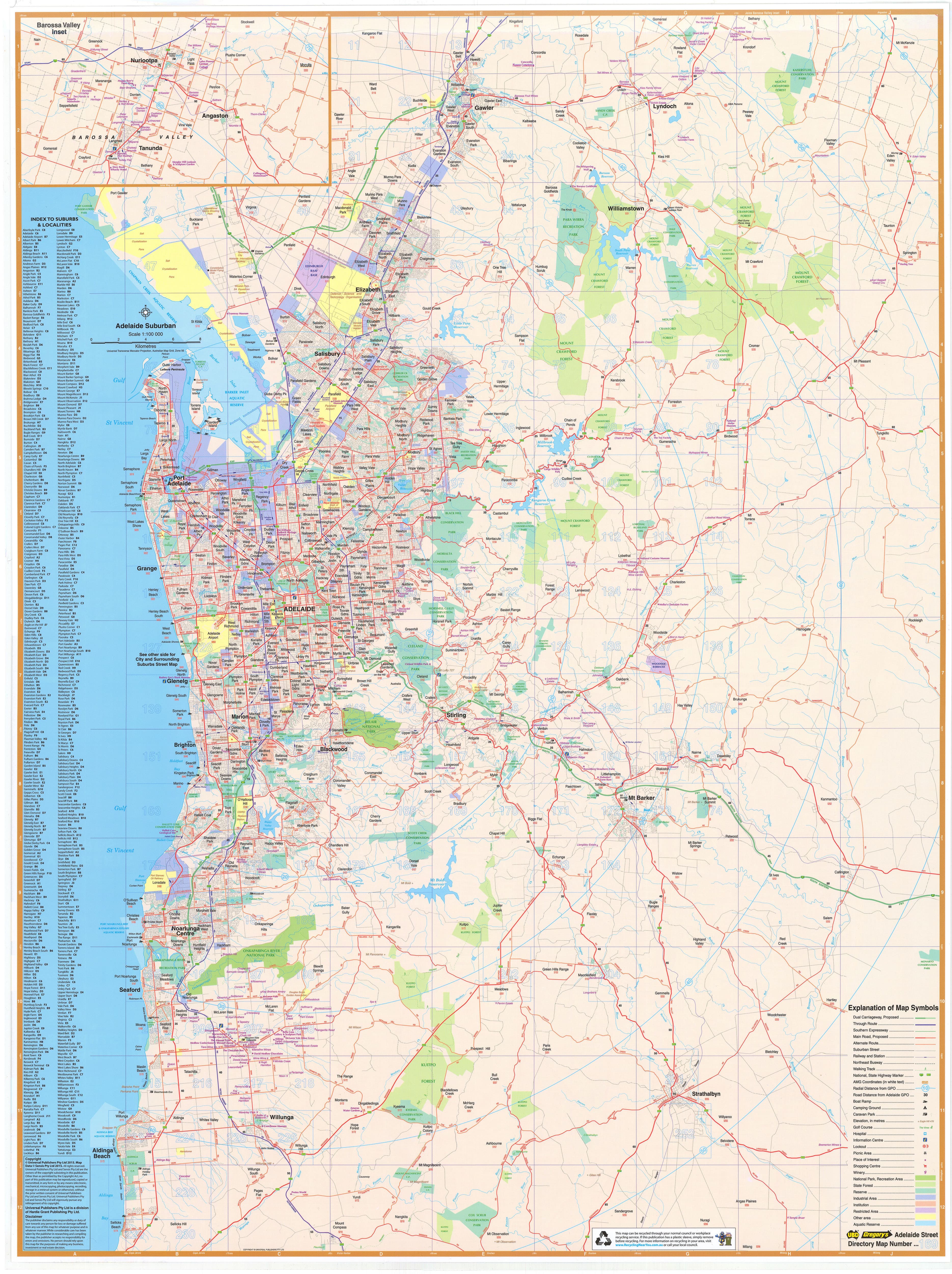
Maryborough, Hervey Bay & Bundaberg UBD 486/480 Map
Scale: 1:500,000 | Size: 700mm (W) x 1000mm (H)
Includes Town Maps, Street Index & Optional Lamination
Perfect for Travel Planning, Local Navigation & Wall Display
🏖️ Explore the Fraser Coast & Wide Bay-Burnett in Detail
From coastal escapes to historic inland towns, the Maryborough, Hervey Bay & Bundaberg Touring Map by UBD Gregory’s provides a clear and reliable overview of one of Queensland’s most popular regional destinations.
This regional-scale map is ideal for travellers, locals, caravaners, and tourism businesses wanting to plan routes, locate towns, and explore lesser-known destinations across the Fraser Coast and surrounding inland regions. Whether you're visiting the turtle nesting beaches of Mon Repos, heading inland to Gayndah, or planning a holiday in Hervey Bay, this map is a handy, detailed guide.
🗺️ What’s Included
-
📌 Regional map of the entire Maryborough–Hervey Bay–Bundaberg area at 1:500,000 scale
-
🏙️ Town map of Bundaberg with street index for detailed urban navigation
-
🧭 Additional town maps for:
-
Bargara
-
Burnett Heads
-
Childers
-
Gayndah
-
Moore Park Beach
-
Rainbow Beach
-
Tin Can Bay
-
Great for exploring beachside villages, hinterland towns, and tourism hotspots across the Fraser Coast and Burnett regions.
✍️ Optional Lamination – Reusable & Rugged
We offer a laminated version of this map for added functionality and durability:
-
✅ Write-on/wipe-off surface – Plan trips, mark locations or make notes using whiteboard markers
-
✅ Use with Map Dots – Perfect for identifying client locations, tourist attractions, or campgrounds
-
✅ Tear-resistant & stain-resistant – Built to withstand folding, handling, and use on the road
-
✅ Ideal for offices, caravans, tourism desks, or home planning walls
🛠️ Please note: Laminated versions are made by professionally flattening a folded map and encapsulating it in 80-micron gloss laminate. Slight fold lines may remain visible, but these do not affect the function or appearance of the map.
Who Is This Map For?
🚐 Caravanners & Holidaymakers – Plan scenic routes, stopovers, and coastal drives with ease
🏡 Local Residents & Property Planners – A clear overview of regional layout for land and home planning
🏢 Business Owners & Logistics Teams – Map your service area, client base, or delivery range
📚 Educators & Tourism Providers – Great for classroom use, visitor centres, and tour planning
📌 Map Collectors & Geography Enthusiasts – Add a reliable Queensland reference to your collection
📏 Product Specifications
| Feature | Details |
|---|---|
| Map Title | Maryborough, Hervey Bay & Bundaberg Touring Map – UBD 486/480 |
| Publisher | UBD Gregory’s |
| Scale | 1:500,000 |
| Map Size | 700mm (width) x 1000mm (height) |
| Town Maps Included | Bundaberg (with street index), plus 7 regional towns |
| Laminated Option | Yes – Write-on/wipe-off, waterproof, 80-micron gloss laminate |
| Printed In | Australia 🇦🇺 |
🛒 Add to Cart Now
Planning a coastal escape or managing regional operations? The Maryborough, Hervey Bay & Bundaberg Touring Map by UBD Gregory’s provides the clarity, scale, and detail you need — all in one expertly designed map.
Choose your preferred format (laminated or standard), and add to your cart today to start navigating Queensland’s Fraser Coast with confidence.
Product Information
Product Information
Shipping & Returns
Shipping & Returns
Description
Scale: 1:500,000 | Size: 700mm (W) x 1000mm (H)
Includes Town Maps, Street Index & Optional Lamination
Perfect for Travel Planning, Local Navigation & Wall Display
🏖️ Explore the Fraser Coast & Wide Bay-Burnett in Detail
From coastal escapes to historic inland towns, the Maryborough, Hervey Bay & Bundaberg Touring Map by UBD Gregory’s provides a clear and reliable overview of one of Queensland’s most popular regional destinations.
This regional-scale map is ideal for travellers, locals, caravaners, and tourism businesses wanting to plan routes, locate towns, and explore lesser-known destinations across the Fraser Coast and surrounding inland regions. Whether you're visiting the turtle nesting beaches of Mon Repos, heading inland to Gayndah, or planning a holiday in Hervey Bay, this map is a handy, detailed guide.
🗺️ What’s Included
-
📌 Regional map of the entire Maryborough–Hervey Bay–Bundaberg area at 1:500,000 scale
-
🏙️ Town map of Bundaberg with street index for detailed urban navigation
-
🧭 Additional town maps for:
-
Bargara
-
Burnett Heads
-
Childers
-
Gayndah
-
Moore Park Beach
-
Rainbow Beach
-
Tin Can Bay
-
Great for exploring beachside villages, hinterland towns, and tourism hotspots across the Fraser Coast and Burnett regions.
✍️ Optional Lamination – Reusable & Rugged
We offer a laminated version of this map for added functionality and durability:
-
✅ Write-on/wipe-off surface – Plan trips, mark locations or make notes using whiteboard markers
-
✅ Use with Map Dots – Perfect for identifying client locations, tourist attractions, or campgrounds
-
✅ Tear-resistant & stain-resistant – Built to withstand folding, handling, and use on the road
-
✅ Ideal for offices, caravans, tourism desks, or home planning walls
🛠️ Please note: Laminated versions are made by professionally flattening a folded map and encapsulating it in 80-micron gloss laminate. Slight fold lines may remain visible, but these do not affect the function or appearance of the map.
Who Is This Map For?
🚐 Caravanners & Holidaymakers – Plan scenic routes, stopovers, and coastal drives with ease
🏡 Local Residents & Property Planners – A clear overview of regional layout for land and home planning
🏢 Business Owners & Logistics Teams – Map your service area, client base, or delivery range
📚 Educators & Tourism Providers – Great for classroom use, visitor centres, and tour planning
📌 Map Collectors & Geography Enthusiasts – Add a reliable Queensland reference to your collection
📏 Product Specifications
| Feature | Details |
|---|---|
| Map Title | Maryborough, Hervey Bay & Bundaberg Touring Map – UBD 486/480 |
| Publisher | UBD Gregory’s |
| Scale | 1:500,000 |
| Map Size | 700mm (width) x 1000mm (height) |
| Town Maps Included | Bundaberg (with street index), plus 7 regional towns |
| Laminated Option | Yes – Write-on/wipe-off, waterproof, 80-micron gloss laminate |
| Printed In | Australia 🇦🇺 |
🛒 Add to Cart Now
Planning a coastal escape or managing regional operations? The Maryborough, Hervey Bay & Bundaberg Touring Map by UBD Gregory’s provides the clarity, scale, and detail you need — all in one expertly designed map.
Choose your preferred format (laminated or standard), and add to your cart today to start navigating Queensland’s Fraser Coast with confidence.