Cape York Hema 1000 x 1430mm Supermap Laminated Wall Map with Hang Rails
Cape York — Hema Supermap
Laminated Wall Map with Timber Hang Rails • 1000 × 1430 mm • Adventure-Ready
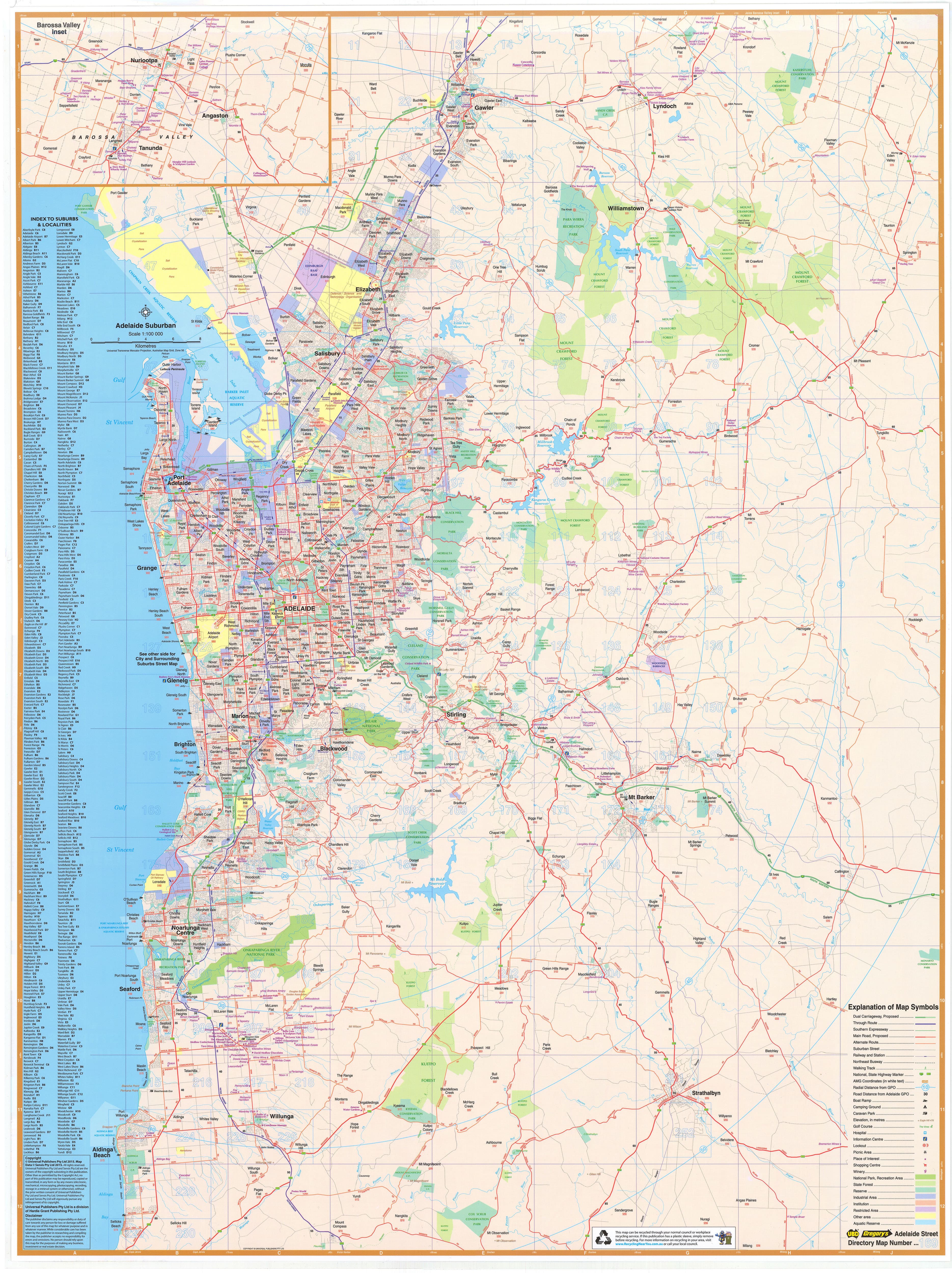
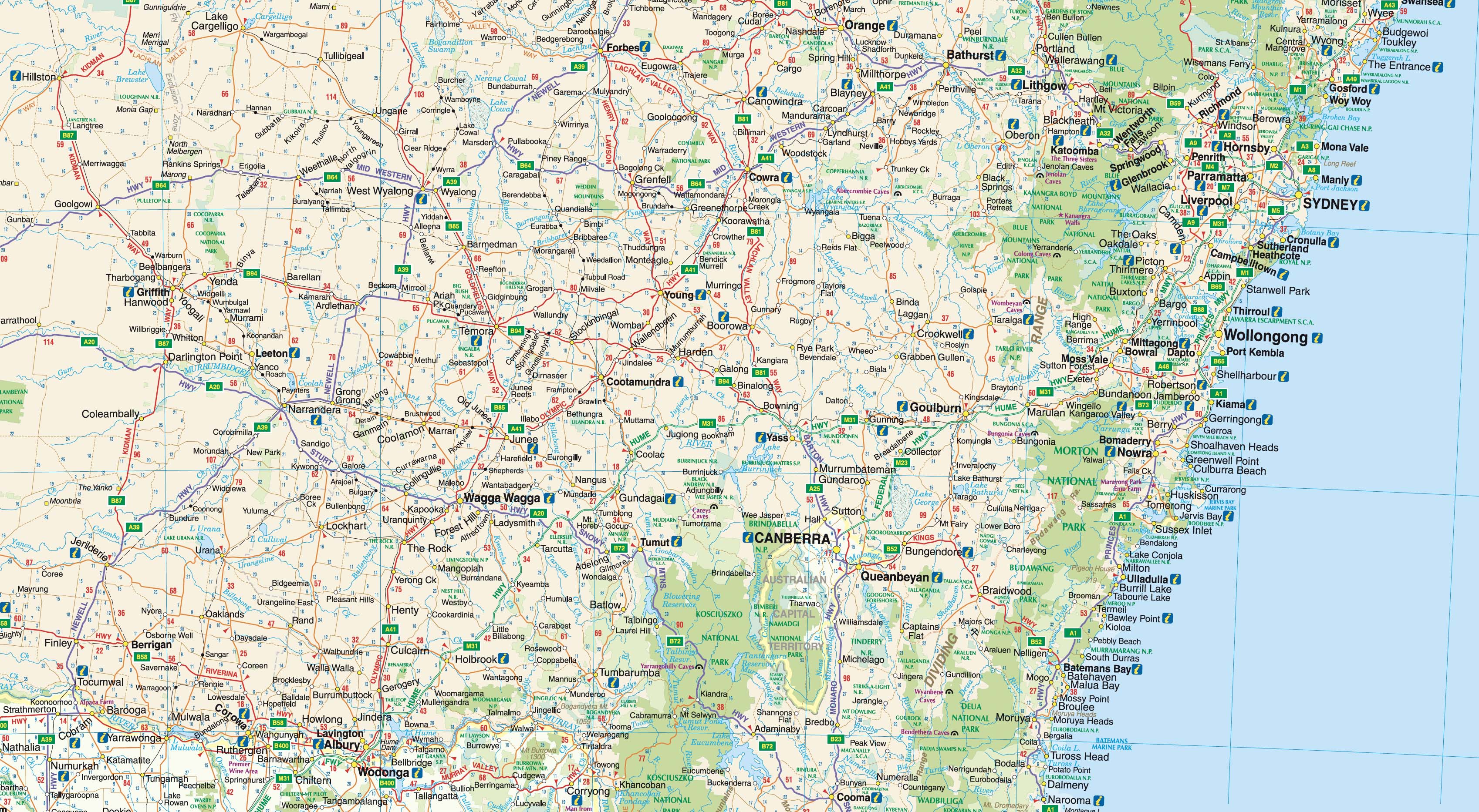
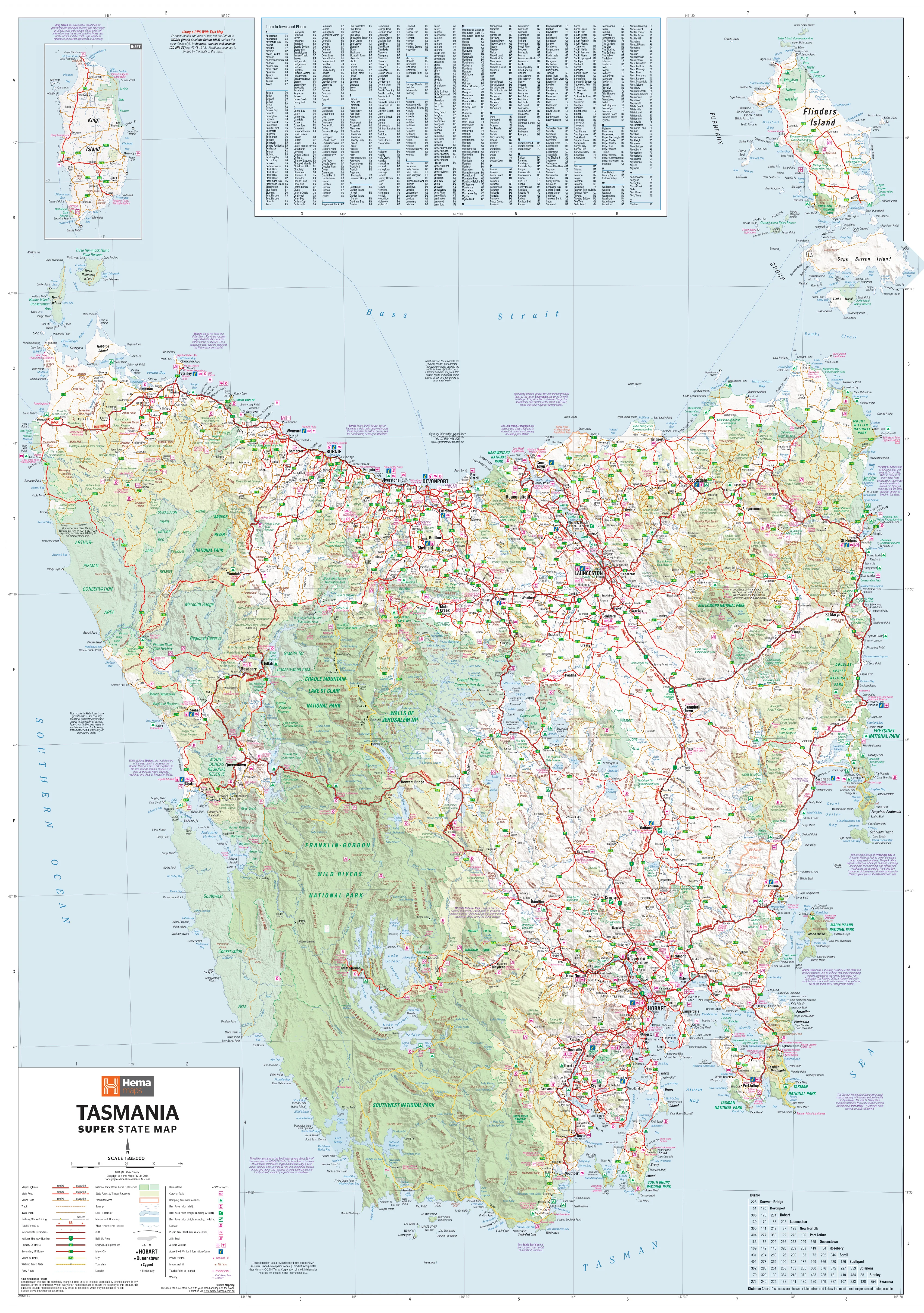
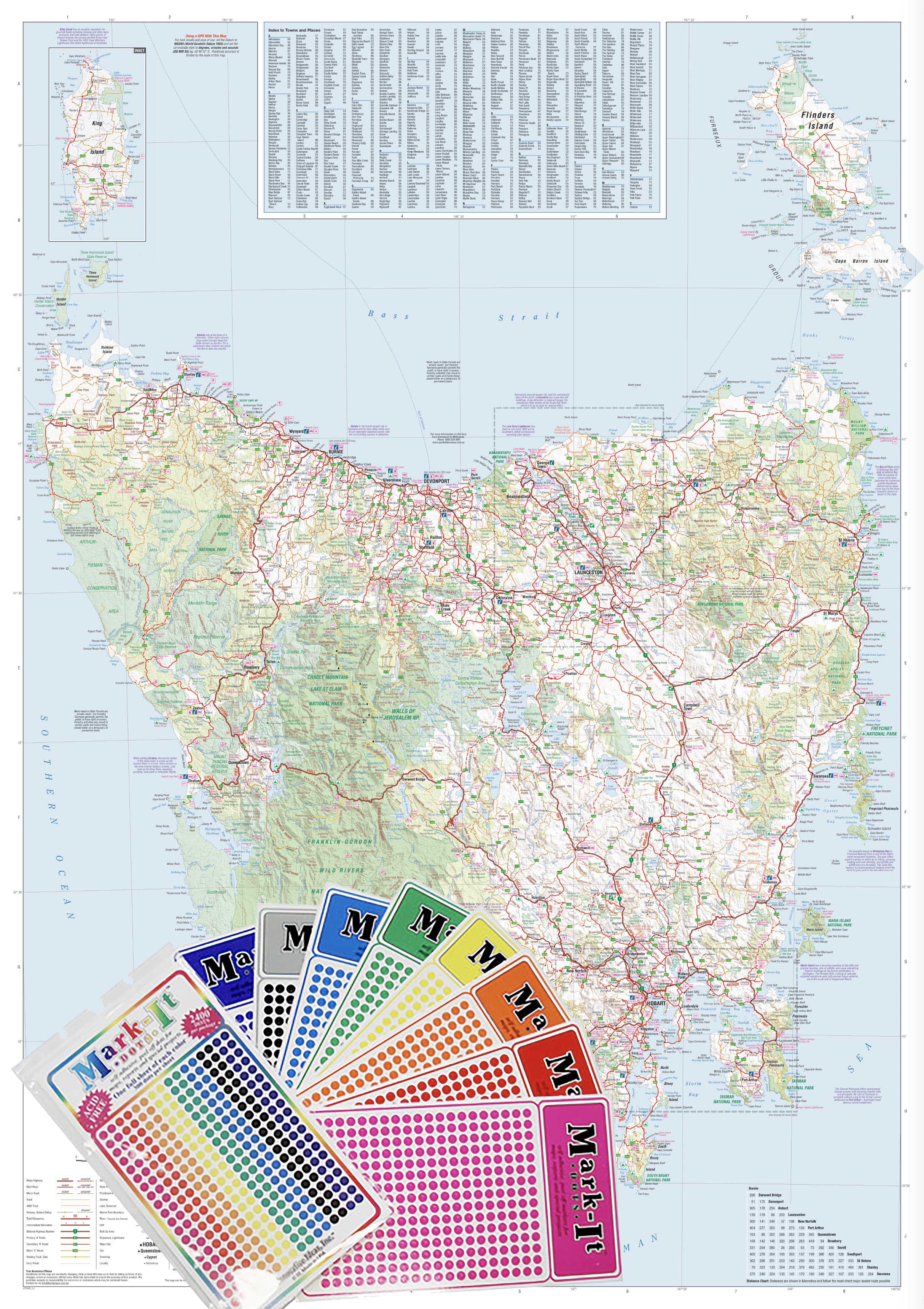
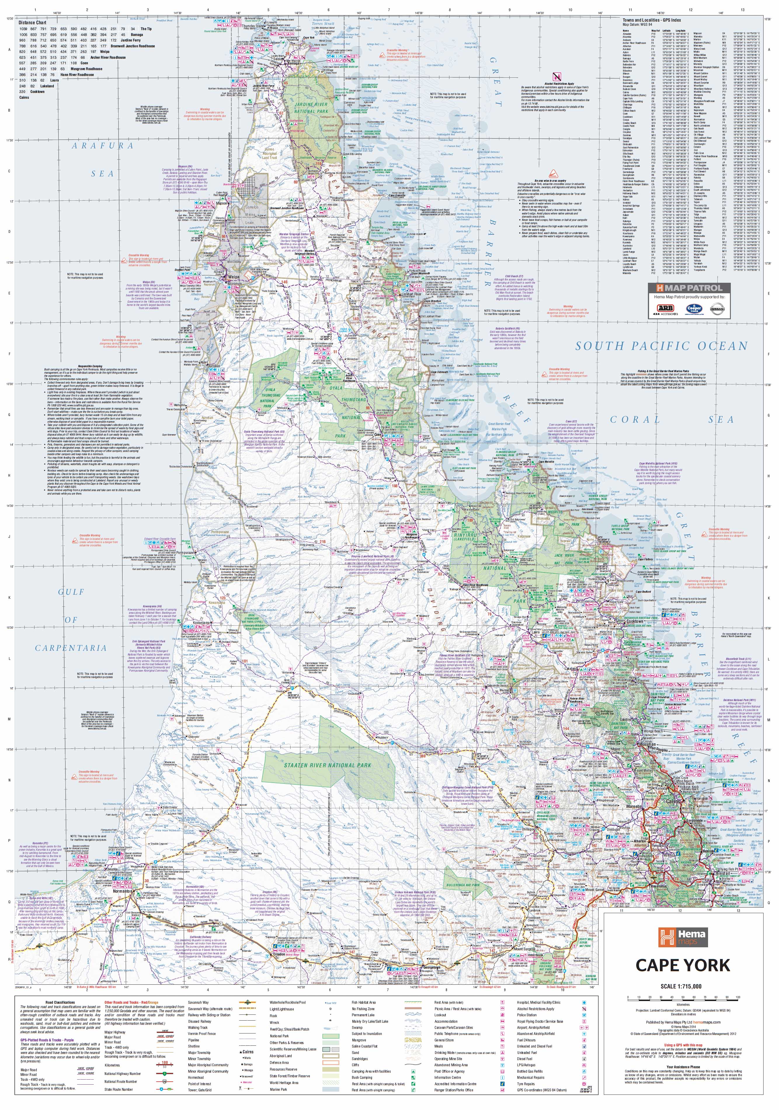
The super-sized Cape York Hema map celebrates one of Australia’s most iconic 4WD routes — the Old Telegraph Track (OTT). Built for explorers, planners, and educators, it blends crisp digital cartography with practical layers for confident trip planning and wall display.
🗝️ Key Adventure Features
-
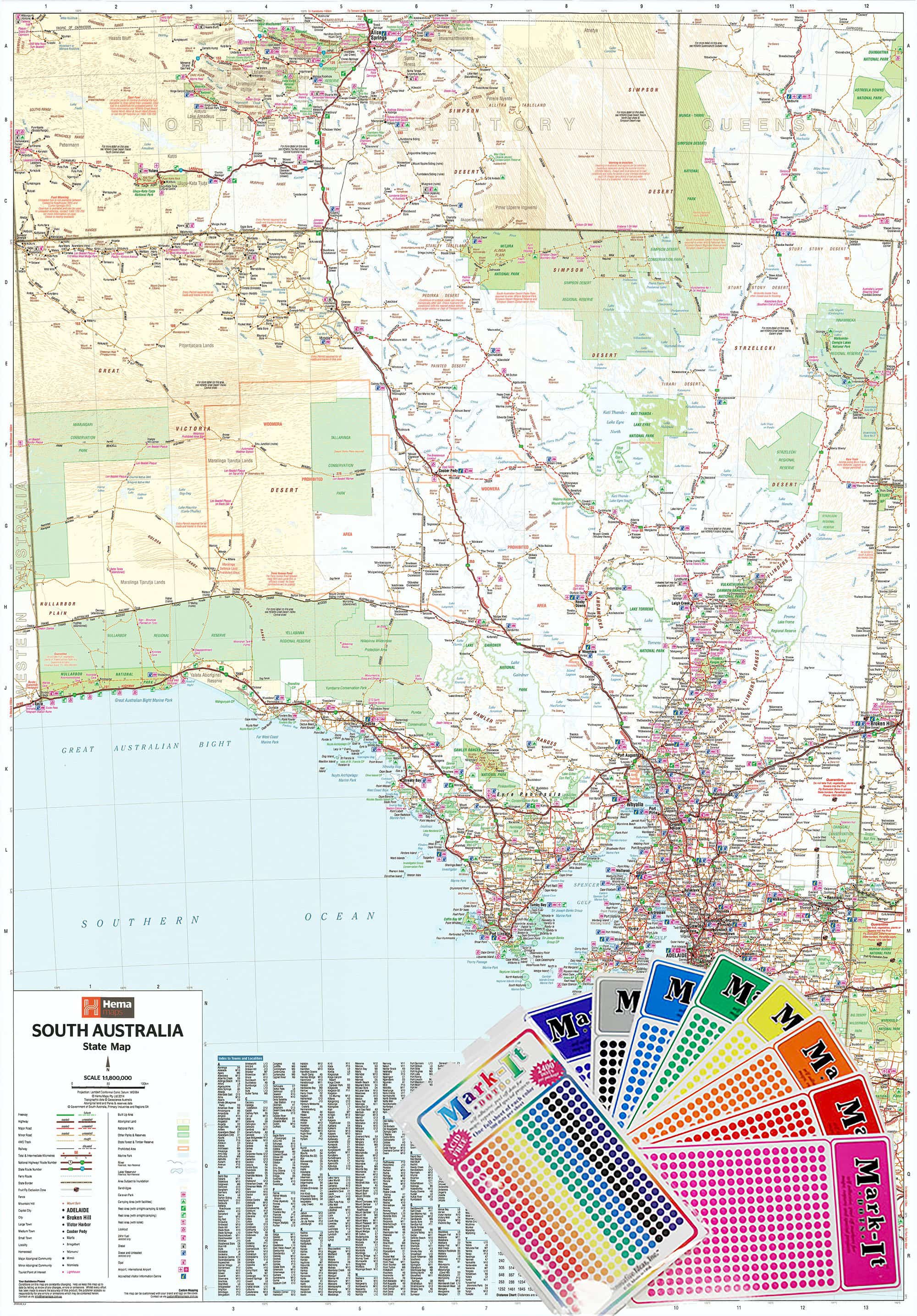
🧭 GPS grid & positions for accurate waypoint planning
-
🗺️ Old Telegraph Track inset highlighting the OTT corridor and key sections
-
🏕️ Camping areas clearly marked for staging and overnights
-
🌿 National Parks & reserves identified for access and permits awareness
-
New digital cartography for outstanding readability at supermap size
Coverage & Context
-
Focused on the Cape York Peninsula with context to major access points including Bamaga/Seisia, Pajinka (the Tip), Weipa, Lockhart River, and Cooktown
-
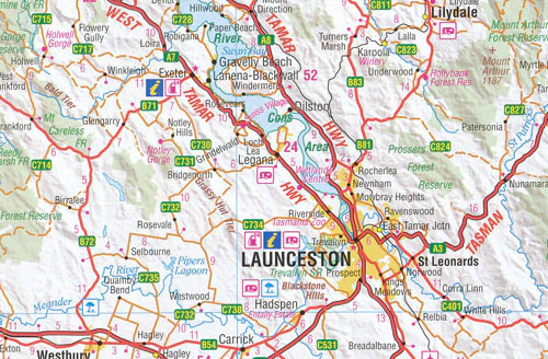
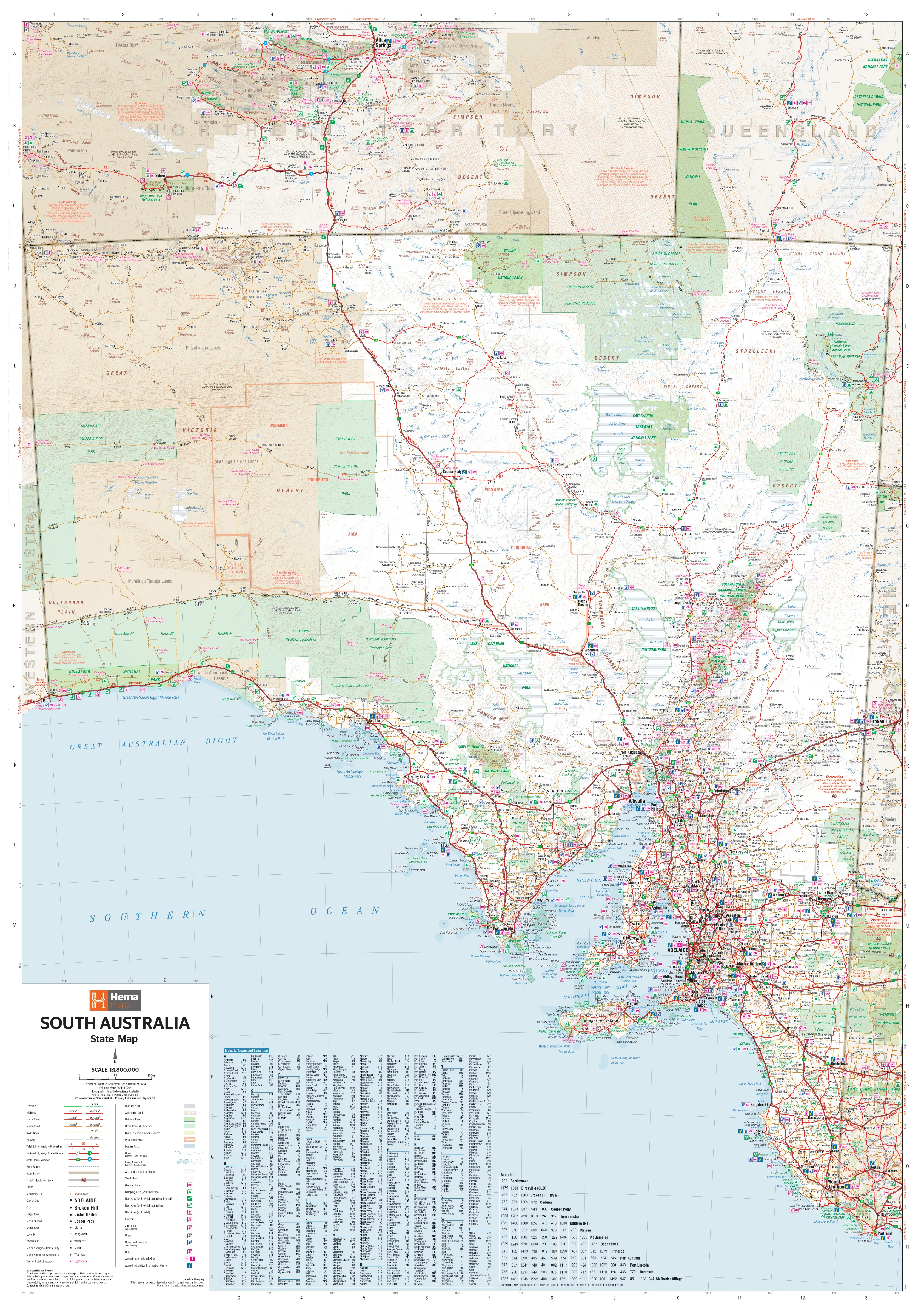
Track hierarchy distinguishes primary roads, secondary routes, and 4WD trails for quick orientation
-
Ideal for route sketching, team briefings, and visitor-centre display
Travel note: Conditions in Cape York are seasonal and can change rapidly (wet season, creek levels, closures). Always confirm current local advice and road reports before departure.
🎨 Materials & Finish
💧 Lamination (True Encapsulation)
-
Fully sealed in 2 × 80-micron gloss laminate (edge-to-edge)
-
Waterproof • Tear-resistant • Wipe-clean
-
Compatible with whiteboard markers and Mark-It-Dots — erase cleanly without ghosting
🪵 Timber Hang Rails (Ready to Hang)
-
Natural timber rails (lacquered) fitted top & bottom
-
Strong top hanging cord — hang neatly from a single wall hook
🖨️ Print Quality (Base Stock)
-
Printed on 120 gsm FSC matte-coated paper (glare-reduced base for lamination)
-
Hewlett-Packard archival pigment-based inks for sharp detail and fade-resistant colour longevity
⚠️ Lead time: Hang rails are custom-fitted by our framer — please allow up to 10 working days for delivery.
How to Use It
-
Plan your run: Sketch day-by-day legs on the laminated surface, then transfer to GPS
-
Mark essentials: Note water crossings, camps, fuel stops, and detours with dots/markers
-
Brief the crew: Keep the supermap visible in the shed, office, or classroom for quick reference
📐 Size
-
1000 × 1430 mm (portrait, Supermap format)
Care & Cleaning
-
Use non-permanent whiteboard markers; wipe with a soft, dry cloth
-
For labels, use Mark-It-Dots to avoid residue
-
Avoid ammonia/alcohol cleaners; a damp microfiber cloth handles stubborn marks
📊 Specifications
| Attribute | Details |
|---|---|
| Title | Cape York — Hema Supermap (Laminated with Hang Rails) |
| Focus | Cape York region with Old Telegraph Track inset |
| Layers | GPS grid/positions, camping areas, National Parks, updated digital cartography |
| Format | Laminated Wall Map + Timber Hang Rails |
| Base Paper | 120 gsm FSC matte-coated |
| Inks | HP archival pigment-based inks (fade-resistant) |
| Laminate | 2 × 80-micron gloss (true encapsulation) |
| Size | 1000 × 1430 mm |
Who It’s For
-
4WD & overlanding crews planning an OTT expedition
-
Tour operators & visitor centres needing a durable, legible wall reference
-
Schools & libraries teaching Australian geography and land management
-
Home & office — a striking, informative statement map for enthusiasts
🛒 Order your Cape York — Hema Supermap (Laminated with Hang Rails) today — durable, wipe-clean, and ready to hang for daily planning and inspiration.
Original: $193.14
-65%$193.14
$67.60Product Information
Product Information
Shipping & Returns
Shipping & Returns
Description
Cape York — Hema Supermap
Laminated Wall Map with Timber Hang Rails • 1000 × 1430 mm • Adventure-Ready
The super-sized Cape York Hema map celebrates one of Australia’s most iconic 4WD routes — the Old Telegraph Track (OTT). Built for explorers, planners, and educators, it blends crisp digital cartography with practical layers for confident trip planning and wall display.
🗝️ Key Adventure Features
-
🧭 GPS grid & positions for accurate waypoint planning
-
🗺️ Old Telegraph Track inset highlighting the OTT corridor and key sections
-
🏕️ Camping areas clearly marked for staging and overnights
-
🌿 National Parks & reserves identified for access and permits awareness
-
New digital cartography for outstanding readability at supermap size
Coverage & Context
-
Focused on the Cape York Peninsula with context to major access points including Bamaga/Seisia, Pajinka (the Tip), Weipa, Lockhart River, and Cooktown
-
Track hierarchy distinguishes primary roads, secondary routes, and 4WD trails for quick orientation
-
Ideal for route sketching, team briefings, and visitor-centre display
Travel note: Conditions in Cape York are seasonal and can change rapidly (wet season, creek levels, closures). Always confirm current local advice and road reports before departure.
🎨 Materials & Finish
💧 Lamination (True Encapsulation)
-
Fully sealed in 2 × 80-micron gloss laminate (edge-to-edge)
-
Waterproof • Tear-resistant • Wipe-clean
-
Compatible with whiteboard markers and Mark-It-Dots — erase cleanly without ghosting
🪵 Timber Hang Rails (Ready to Hang)
-
Natural timber rails (lacquered) fitted top & bottom
-
Strong top hanging cord — hang neatly from a single wall hook
🖨️ Print Quality (Base Stock)
-
Printed on 120 gsm FSC matte-coated paper (glare-reduced base for lamination)
-
Hewlett-Packard archival pigment-based inks for sharp detail and fade-resistant colour longevity
⚠️ Lead time: Hang rails are custom-fitted by our framer — please allow up to 10 working days for delivery.
How to Use It
-
Plan your run: Sketch day-by-day legs on the laminated surface, then transfer to GPS
-
Mark essentials: Note water crossings, camps, fuel stops, and detours with dots/markers
-
Brief the crew: Keep the supermap visible in the shed, office, or classroom for quick reference
📐 Size
-
1000 × 1430 mm (portrait, Supermap format)
Care & Cleaning
-
Use non-permanent whiteboard markers; wipe with a soft, dry cloth
-
For labels, use Mark-It-Dots to avoid residue
-
Avoid ammonia/alcohol cleaners; a damp microfiber cloth handles stubborn marks
📊 Specifications
| Attribute | Details |
|---|---|
| Title | Cape York — Hema Supermap (Laminated with Hang Rails) |
| Focus | Cape York region with Old Telegraph Track inset |
| Layers | GPS grid/positions, camping areas, National Parks, updated digital cartography |
| Format | Laminated Wall Map + Timber Hang Rails |
| Base Paper | 120 gsm FSC matte-coated |
| Inks | HP archival pigment-based inks (fade-resistant) |
| Laminate | 2 × 80-micron gloss (true encapsulation) |
| Size | 1000 × 1430 mm |
Who It’s For
-
4WD & overlanding crews planning an OTT expedition
-
Tour operators & visitor centres needing a durable, legible wall reference
-
Schools & libraries teaching Australian geography and land management
-
Home & office — a striking, informative statement map for enthusiasts
🛒 Order your Cape York — Hema Supermap (Laminated with Hang Rails) today — durable, wipe-clean, and ready to hang for daily planning and inspiration.