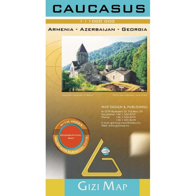
Caucasus Gizi Maps Folded
Detailed Travel Map | 1:1,000,000 Scale | Single-Sided
Size: 1000 x 930 mm | Folded Paper Format
Explore the Crossroads of Europe and Asia
The Caucasus Folded Map by Gizi Maps offers a richly detailed cartographic view of one of the most geopolitically and culturally fascinating regions on Earth — stretching across Georgia, Armenia, Azerbaijan, and surrounding territories. Perfect for travellers, researchers, and educators alike, this map is an indispensable tool for understanding the unique geography and complex terrain of the region.
🧭 Key Features
| 🧳 Feature | ✅ Included |
|---|---|
| Scale: 1:1,000,000 | ✔️ |
| Single-sided design | ✔️ |
| Contour shading for elevation | ✔️ |
| Road distances marked | ✔️ |
| Major cities and towns | ✔️ |
| Tourist sites & services | ✔️ |
| Comprehensive index of place names | ✔️ |
🌍 What’s Covered?
-
The full Caucasus region, including:
-
Georgia (including Tbilisi and Batumi)
-
Armenia (including Yerevan and Lake Sevan)
-
Azerbaijan (including Baku and the Caspian Sea coast)
-
Parts of southern Russia, eastern Turkey, and northern Iran
-
-
Mountain ranges like the Greater and Lesser Caucasus are clearly shown through shaded relief
-
Road networks include highways, secondary routes, and mountain passes
-
Icons and symbols highlight:
-
National parks
-
UNESCO sites
-
Tourist destinations
-
Transport infrastructure
-
📐 Specifications
| Attribute | Detail |
|---|---|
| Publisher | Gizi Maps |
| Map Type | Folded paper |
| Scale | 1:1,000,000 |
| Map Dimensions | 1000 mm (w) x 930 mm (h) |
| Printing | Full colour with elevation shading |
| Index | Yes – full place name index |
🚚 Order & Delivery Info
This is an Order-on-Demand item
🕐 Please allow up to 10 working days for delivery
✅ Why Buy This Map?
| 🌟 Benefit | 🧭 Ideal For |
|---|---|
| Covers entire Caucasus region in one sheet | Adventure & cultural travellers |
| Elevation shading enhances terrain clarity | Educational use & classrooms |
| Road distances & transport infrastructure | Tour planning & logistics |
| Tourist sites, services & historical notes | Armchair travellers & researchers |
| Lightweight and easy to fold | On-the-go exploration |
Whether you're hiking through the Greater Caucasus, navigating ancient trade routes, or planning a cultural journey between Black Sea and Caspian Sea, this map is your perfect guide.
📌 Trust Gizi Maps for clarity, accuracy, and usability in every fold.
Original: $21.43
-65%$21.43
$7.50Product Information
Product Information
Shipping & Returns
Shipping & Returns
Description
Detailed Travel Map | 1:1,000,000 Scale | Single-Sided
Size: 1000 x 930 mm | Folded Paper Format
Explore the Crossroads of Europe and Asia
The Caucasus Folded Map by Gizi Maps offers a richly detailed cartographic view of one of the most geopolitically and culturally fascinating regions on Earth — stretching across Georgia, Armenia, Azerbaijan, and surrounding territories. Perfect for travellers, researchers, and educators alike, this map is an indispensable tool for understanding the unique geography and complex terrain of the region.
🧭 Key Features
| 🧳 Feature | ✅ Included |
|---|---|
| Scale: 1:1,000,000 | ✔️ |
| Single-sided design | ✔️ |
| Contour shading for elevation | ✔️ |
| Road distances marked | ✔️ |
| Major cities and towns | ✔️ |
| Tourist sites & services | ✔️ |
| Comprehensive index of place names | ✔️ |
🌍 What’s Covered?
-
The full Caucasus region, including:
-
Georgia (including Tbilisi and Batumi)
-
Armenia (including Yerevan and Lake Sevan)
-
Azerbaijan (including Baku and the Caspian Sea coast)
-
Parts of southern Russia, eastern Turkey, and northern Iran
-
-
Mountain ranges like the Greater and Lesser Caucasus are clearly shown through shaded relief
-
Road networks include highways, secondary routes, and mountain passes
-
Icons and symbols highlight:
-
National parks
-
UNESCO sites
-
Tourist destinations
-
Transport infrastructure
-
📐 Specifications
| Attribute | Detail |
|---|---|
| Publisher | Gizi Maps |
| Map Type | Folded paper |
| Scale | 1:1,000,000 |
| Map Dimensions | 1000 mm (w) x 930 mm (h) |
| Printing | Full colour with elevation shading |
| Index | Yes – full place name index |
🚚 Order & Delivery Info
This is an Order-on-Demand item
🕐 Please allow up to 10 working days for delivery
✅ Why Buy This Map?
| 🌟 Benefit | 🧭 Ideal For |
|---|---|
| Covers entire Caucasus region in one sheet | Adventure & cultural travellers |
| Elevation shading enhances terrain clarity | Educational use & classrooms |
| Road distances & transport infrastructure | Tour planning & logistics |
| Tourist sites, services & historical notes | Armchair travellers & researchers |
| Lightweight and easy to fold | On-the-go exploration |
Whether you're hiking through the Greater Caucasus, navigating ancient trade routes, or planning a cultural journey between Black Sea and Caspian Sea, this map is your perfect guide.
📌 Trust Gizi Maps for clarity, accuracy, and usability in every fold.