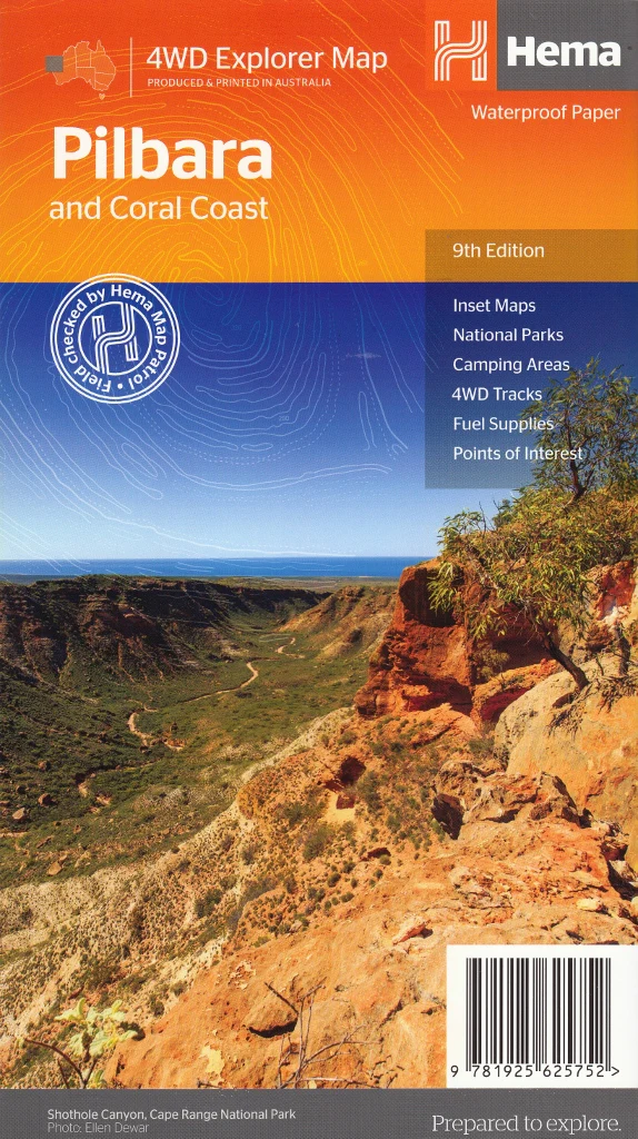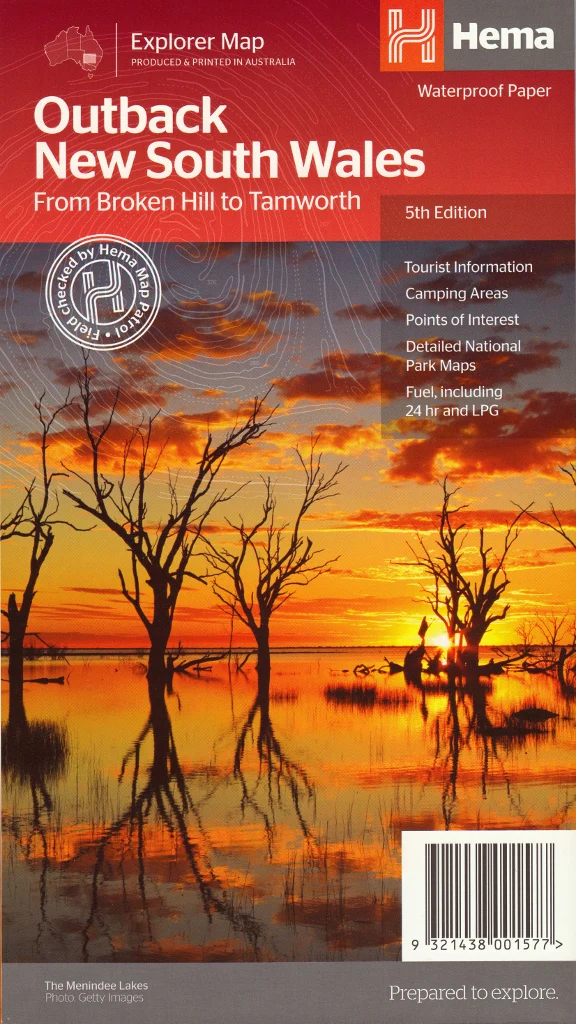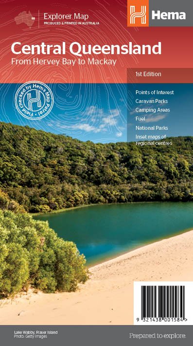
Central Queensland Hema Regional Map
Hervey Bay to Mackay | Two-Sided Touring Map | Town Maps, National Parks, Tourist Info | Optional Lamination
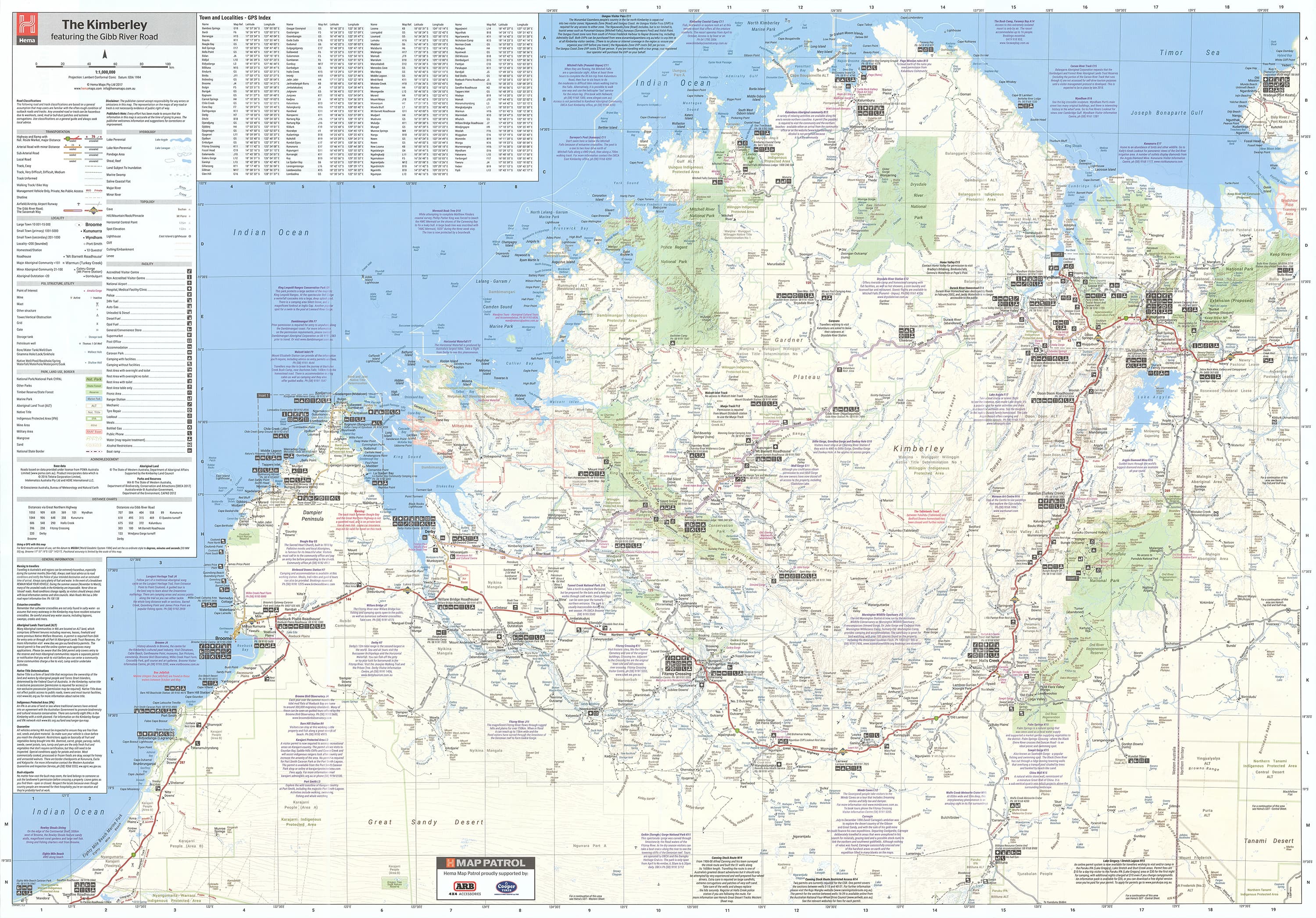
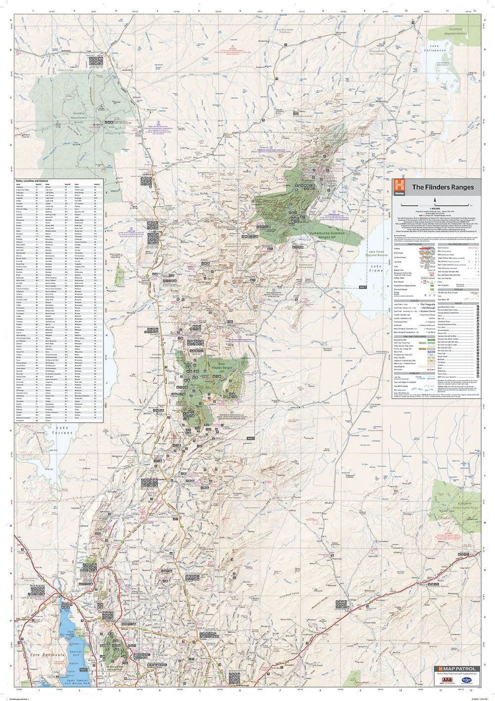
Discover the heart of Queensland with Hema’s Central Queensland Regional Map, a highly detailed and easy-to-read touring map designed for road trippers, caravaners, 4WD explorers, and outdoor enthusiasts. This comprehensive regional map covers the stretch from Hervey Bay in the south to Mackay in the north, with rich cartographic detail and practical travel information.
Whether you're planning an outback adventure, a coastal escape, or exploring the historical towns of the Central Highlands, this map is your ideal companion.
🌟 Key Features:
-
🗺️ Town Maps – Detailed insets for:
-
Capricorn Coast
-
Gladstone
-
Gemfields
-
Bundaberg
-
Hervey Bay
-
-
🏞️ National Parks – Clearly marked for walking, camping, and wildlife viewing
-
🧭 Tourist Information – Highlights major attractions, cultural sites, and scenic stops
-
🐎 National Trail – Tracks the route of Australia’s long-distance horse trail
-
📏 Distance Charts – Easily calculate driving distances between key towns and centres
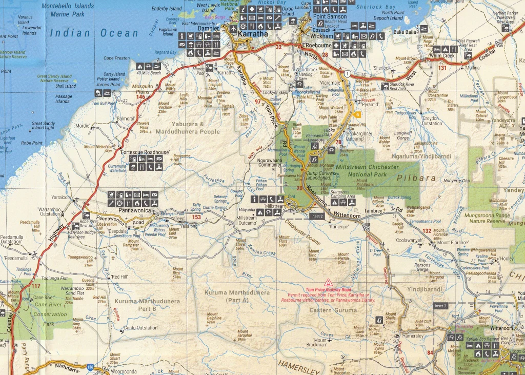
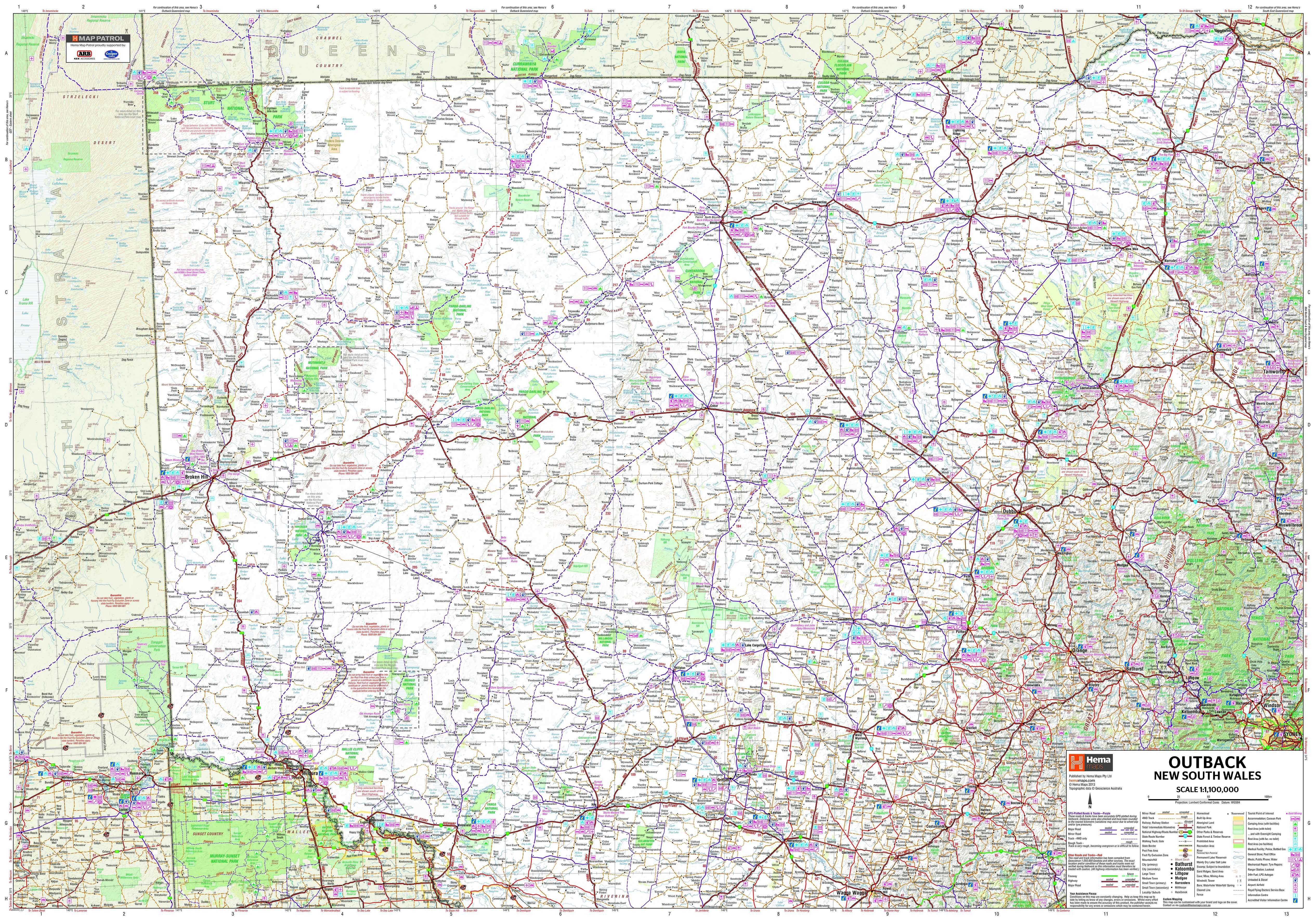
🗺️ Map Coverage:
The main map side provides a broad view of Central Queensland from the Fraser Coast to Mackay, including inland areas rich in mining, agriculture, and adventure.
The reverse side includes blow-up maps of key travel zones to help you navigate busy or popular areas with greater precision.
📐 Specifications:
| Feature | Details |
|---|---|
| Map Scale | 1:1,000,000 |
| Flat Size | 950 mm (W) x 560 mm (H) |
| Format | Folded touring map |
| Publisher | Hema Maps |
| Printing | Full-colour, topographic & road detail |
| Index | Includes locality and features index |
💧 Optional Lamination Upgrade:
This map is available in a laminated format, professionally encapsulated in high-quality plastic. The laminated version is:
-
✅ Waterproof & Tear-Resistant – Great for use outdoors or in vehicles
-
✅ Writable & Wipeable – Use whiteboard markers to plot trips and track progress
-
✅ Highly Durable – Designed for repeated use during long-term travel
Ideal for caravans, camping tables, or wall display in touring vehicles.
🚐 Perfect For:
-
Road trippers and self-drive explorers
-
Caravaners and vanlifers
-
4WD travellers and camping enthusiasts
-
Residents planning regional travel
-
Teachers and homeschoolers needing regional geography aids
Navigate Queensland with confidence and clarity. From coastal beaches to rugged inland terrain, this map helps you uncover the full breadth of what Central Queensland has to offer.
📦 Add to your travel gear today and explore the region with Australia's most trusted mapmaker – Hema Maps.
Original: $10.70
-65%$10.70
$3.74Product Information
Product Information
Shipping & Returns
Shipping & Returns
Description
Hervey Bay to Mackay | Two-Sided Touring Map | Town Maps, National Parks, Tourist Info | Optional Lamination
Discover the heart of Queensland with Hema’s Central Queensland Regional Map, a highly detailed and easy-to-read touring map designed for road trippers, caravaners, 4WD explorers, and outdoor enthusiasts. This comprehensive regional map covers the stretch from Hervey Bay in the south to Mackay in the north, with rich cartographic detail and practical travel information.
Whether you're planning an outback adventure, a coastal escape, or exploring the historical towns of the Central Highlands, this map is your ideal companion.
🌟 Key Features:
-
🗺️ Town Maps – Detailed insets for:
-
Capricorn Coast
-
Gladstone
-
Gemfields
-
Bundaberg
-
Hervey Bay
-
-
🏞️ National Parks – Clearly marked for walking, camping, and wildlife viewing
-
🧭 Tourist Information – Highlights major attractions, cultural sites, and scenic stops
-
🐎 National Trail – Tracks the route of Australia’s long-distance horse trail
-
📏 Distance Charts – Easily calculate driving distances between key towns and centres
🗺️ Map Coverage:
The main map side provides a broad view of Central Queensland from the Fraser Coast to Mackay, including inland areas rich in mining, agriculture, and adventure.
The reverse side includes blow-up maps of key travel zones to help you navigate busy or popular areas with greater precision.
📐 Specifications:
| Feature | Details |
|---|---|
| Map Scale | 1:1,000,000 |
| Flat Size | 950 mm (W) x 560 mm (H) |
| Format | Folded touring map |
| Publisher | Hema Maps |
| Printing | Full-colour, topographic & road detail |
| Index | Includes locality and features index |
💧 Optional Lamination Upgrade:
This map is available in a laminated format, professionally encapsulated in high-quality plastic. The laminated version is:
-
✅ Waterproof & Tear-Resistant – Great for use outdoors or in vehicles
-
✅ Writable & Wipeable – Use whiteboard markers to plot trips and track progress
-
✅ Highly Durable – Designed for repeated use during long-term travel
Ideal for caravans, camping tables, or wall display in touring vehicles.
🚐 Perfect For:
-
Road trippers and self-drive explorers
-
Caravaners and vanlifers
-
4WD travellers and camping enthusiasts
-
Residents planning regional travel
-
Teachers and homeschoolers needing regional geography aids
Navigate Queensland with confidence and clarity. From coastal beaches to rugged inland terrain, this map helps you uncover the full breadth of what Central Queensland has to offer.
📦 Add to your travel gear today and explore the region with Australia's most trusted mapmaker – Hema Maps.