Children’s Antarctica Wall Map by Collins (Illustrated by Steve Evans)
570 × 738 mm • Paper / Laminated / Laminated + Hang Rails / Canvas / Canvas + Hang Rails • Made in Australia
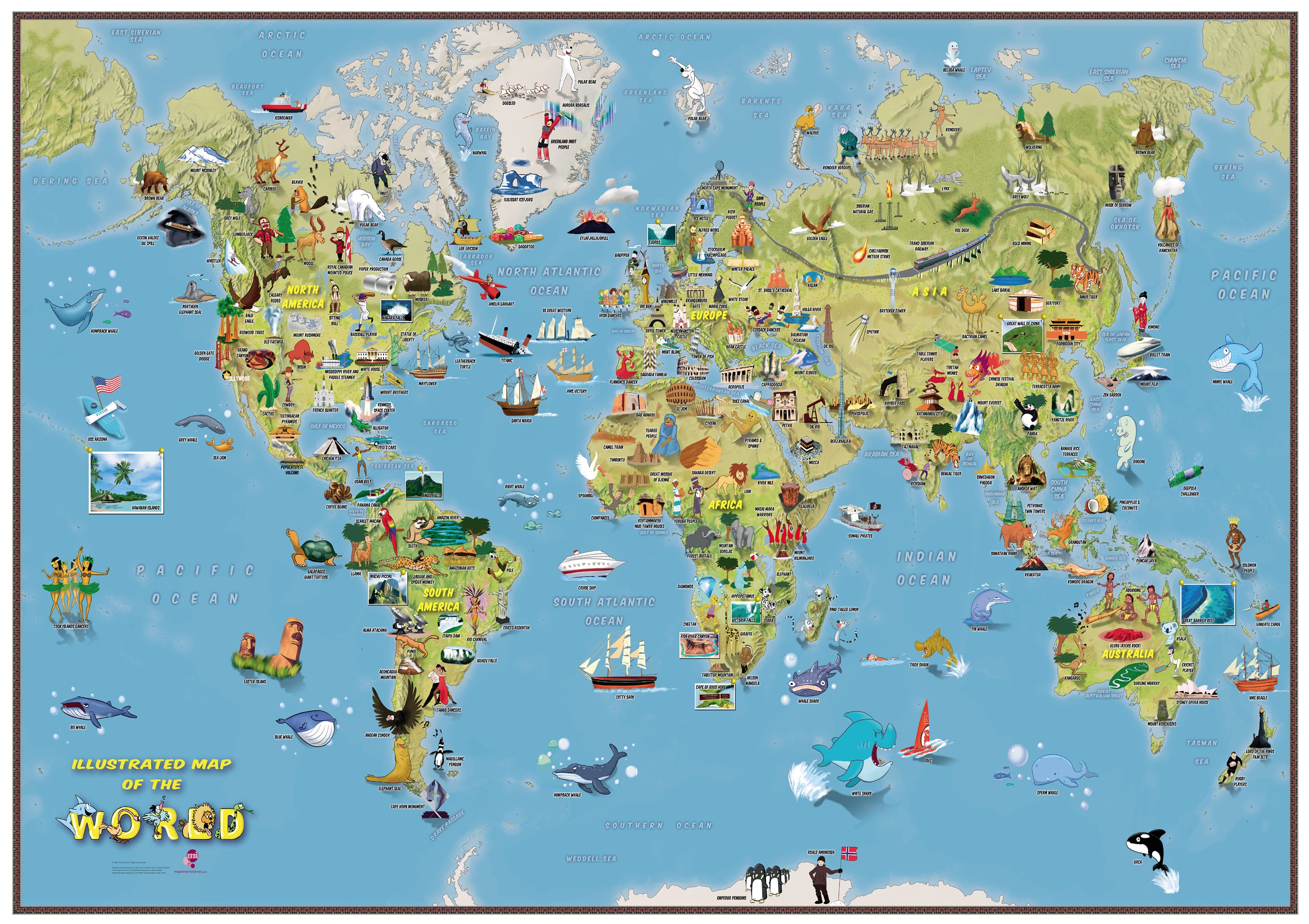
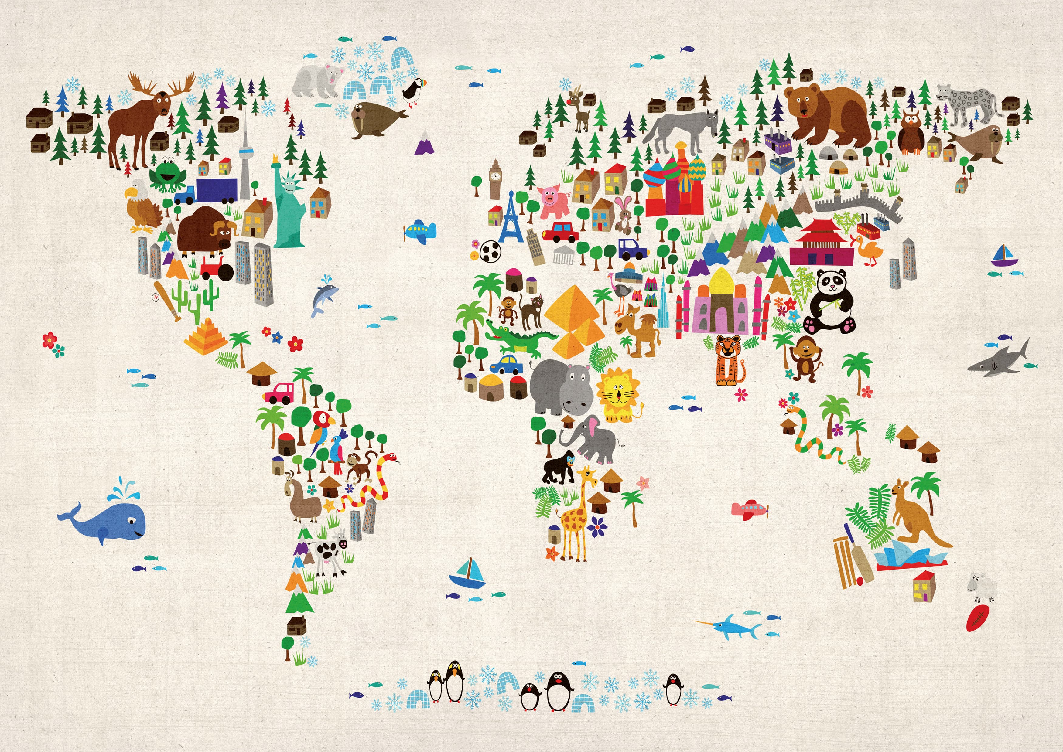
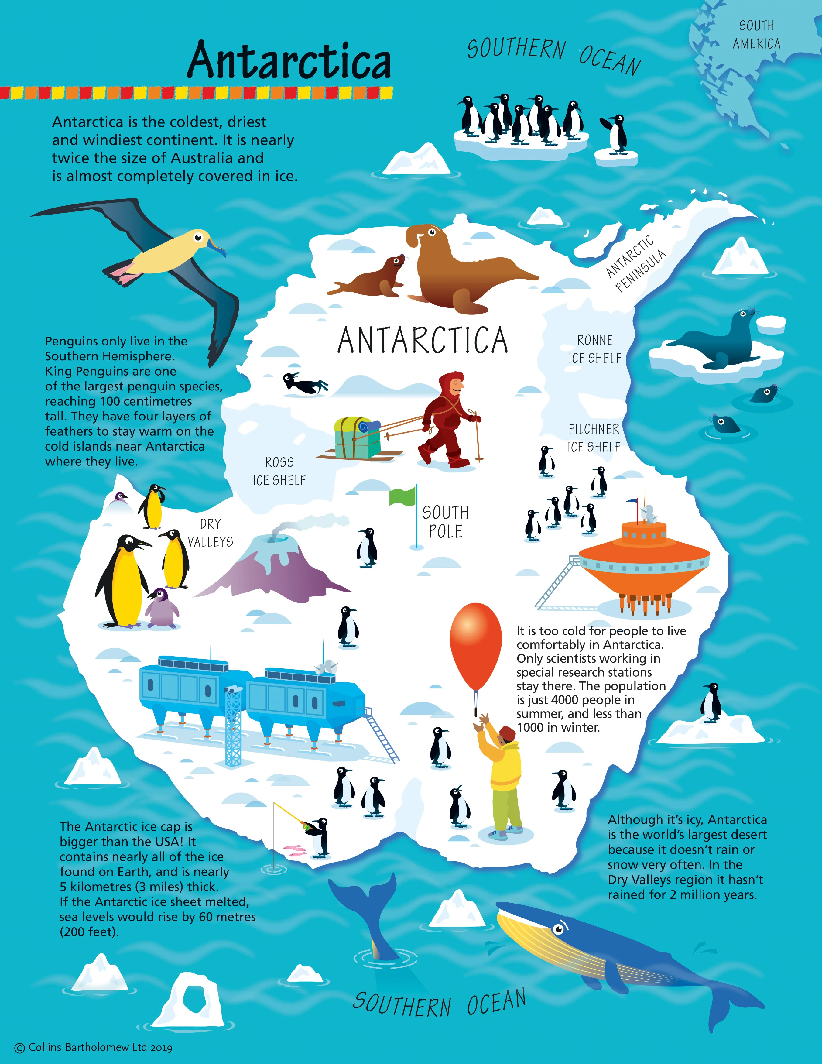
Invite young explorers (ages 4–8) to the icy ends of the Earth. This cheerful pictorial map of Antarctica blends clear, kid-friendly cartography with Steve Evans’ charming illustrations—perfect for sparking curiosity about wildlife, research life, and polar environments.
❄️ At a Glance
-
Kid-friendly design: Big labels, clean layout, and colourful iconography.
-
Engaging art: Penguins, seals, whales, birds, buildings, sports, foods, and emblems make the pole come alive.
-
Confidence builder: A gentle first step into continents, oceans, and the idea of “regions.”
🗺️ What’s on the Map
-
Antarctic setting: The continent, surrounding Southern Ocean, major capes & bays.
-
Wildlife callouts: Penguins, seals, albatrosses and more—shown where they’re commonly found.
-
Human presence: Stations, buildings, vessels and activity scenes to explain research life.
-
Simple legend: Easy symbols so early readers can “decode” the map on their own.
🎓 Learning Outcomes (Ages 4–8)
-
Geography basics: Continents, oceans, poles, compass orientation (“Which way is south?”).
-
Science curiosity: Animals, habitats, weather, sea ice vs. land ice.
-
Civic awareness: Why scientists study Antarctica and how nations cooperate there.
-
Visual literacy: Matching icons to a legend; scanning, locating, and comparing places.
👩🏫 Easy Classroom & Home Activities
-
I-Spy geography: “Find three penguin colonies” or “Point to the Southern Ocean.”
-
Animal match-ups: Name the animal & habitat; talk food chains in simple terms.
-
Journey lines (laminated): Trace ship/plane routes with whiteboard markers; wipe clean.
-
Word hunts: Spot and read capitalised place names to build reading confidence.
🎒 Where It Belongs
Classrooms • Libraries • Homeschool rooms • Kids’ bedrooms • Playrooms • Waiting rooms • Gift for curious minds
🎨 Finishes & Display Options
-
📄 Paper — FSC® 160 gsm Matte-Coated
Smooth, low-glare stock ideal for framing under glass. Printed with archival Hewlett-Packard pigment inks for excellent fade resistance. -
💧 Laminated — True Encapsulation
Printed on 120 gsm and sealed in 2 × 80-micron gloss laminate (edge-sealed). Wipe-clean, tear-resistant, classroom-ready; use non-permanent whiteboard markers and map dots. -
🪵 Laminated + Timber Hang Rails — Ready to Hang
Natural lacquered timber rails (top & bottom) with a top hanging cord.
⏱️ Custom finish—please allow up to 10 working days for rail fitting. -
🖼️ Canvas — HP 395 gsm Professional Matte
Gallery-grade canvas with archival HP pigment inks for rich colour and fade resistance—a low-glare, tactile look. -
🪵 Canvas + Timber Hang Rails
The same premium canvas, finished with natural timber rails + top hanging cord—ready to hang.
⏱️ Custom finish—please allow up to 10 working days for rail fitting.
Dry-erase markers are recommended only on laminated versions.
📐 Specifications
-
Title: Children’s Antarctica Wall Map by Collins
-
Illustrator: Steve Evans
-
Size: 570 mm (W) × 738 mm (H)
-
Audience: Ages 4–8
-
Options: Paper • Laminated • Laminated + Hang Rails • Canvas • Canvas + Hang Rails
-
Printing: Archival HP pigment inks (fade-resistant)
-
Origin: Made in Australia
🤝 Our Commitment
-
Local craftsmanship: Printed and finished in Australia for consistent quality and responsive support.
-
Kid-ready durability: Tough finishes that stand up to classrooms and playrooms.
-
Sustainable choices: FSC® papers and long-life pigment inks to reduce waste.
-
Careful packing: Every map is hand-checked and securely boxed to arrive clean and display-ready.
Bring the wonders of Antarctica to your wall—choose your finish and make geography the coolest part of their day.