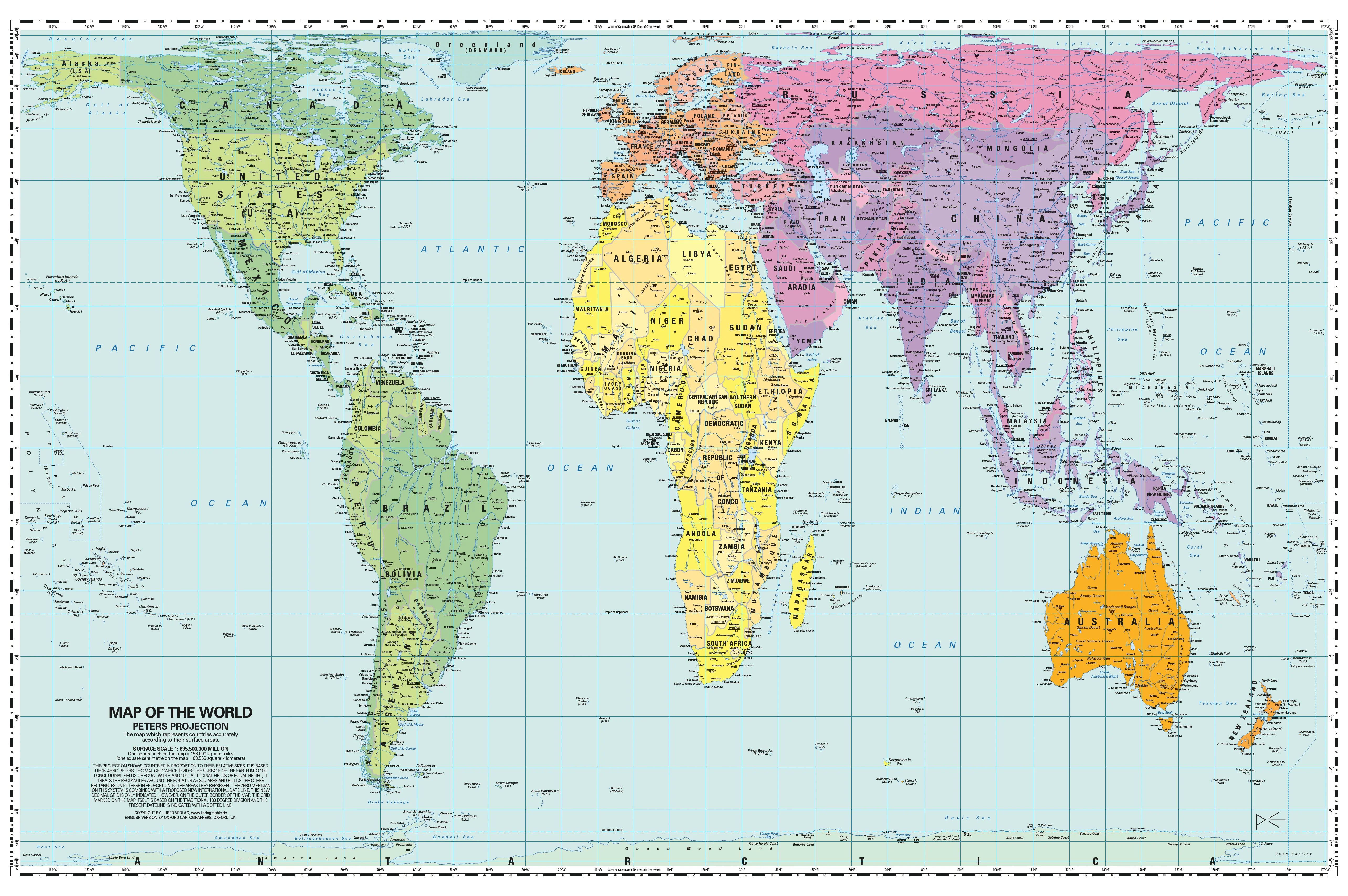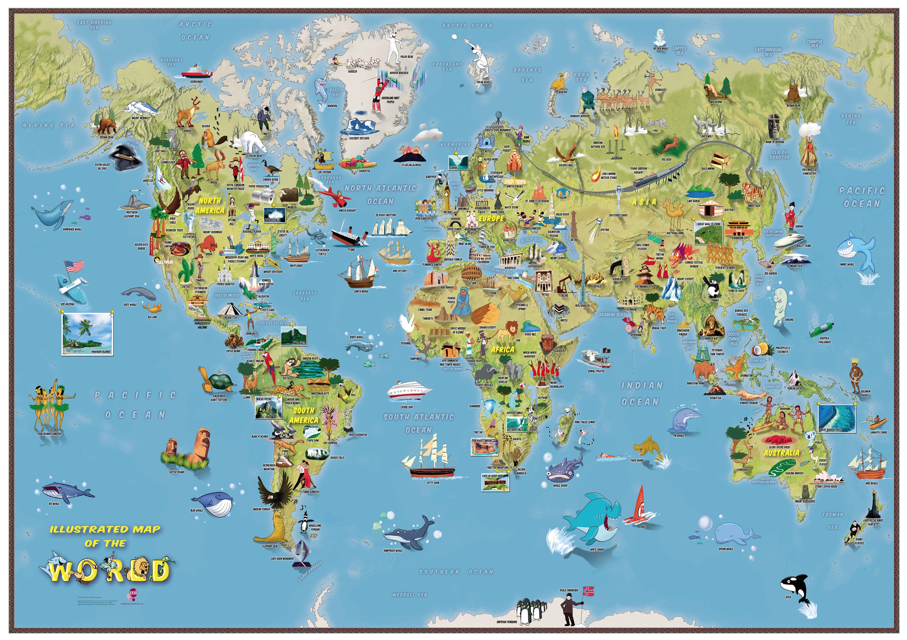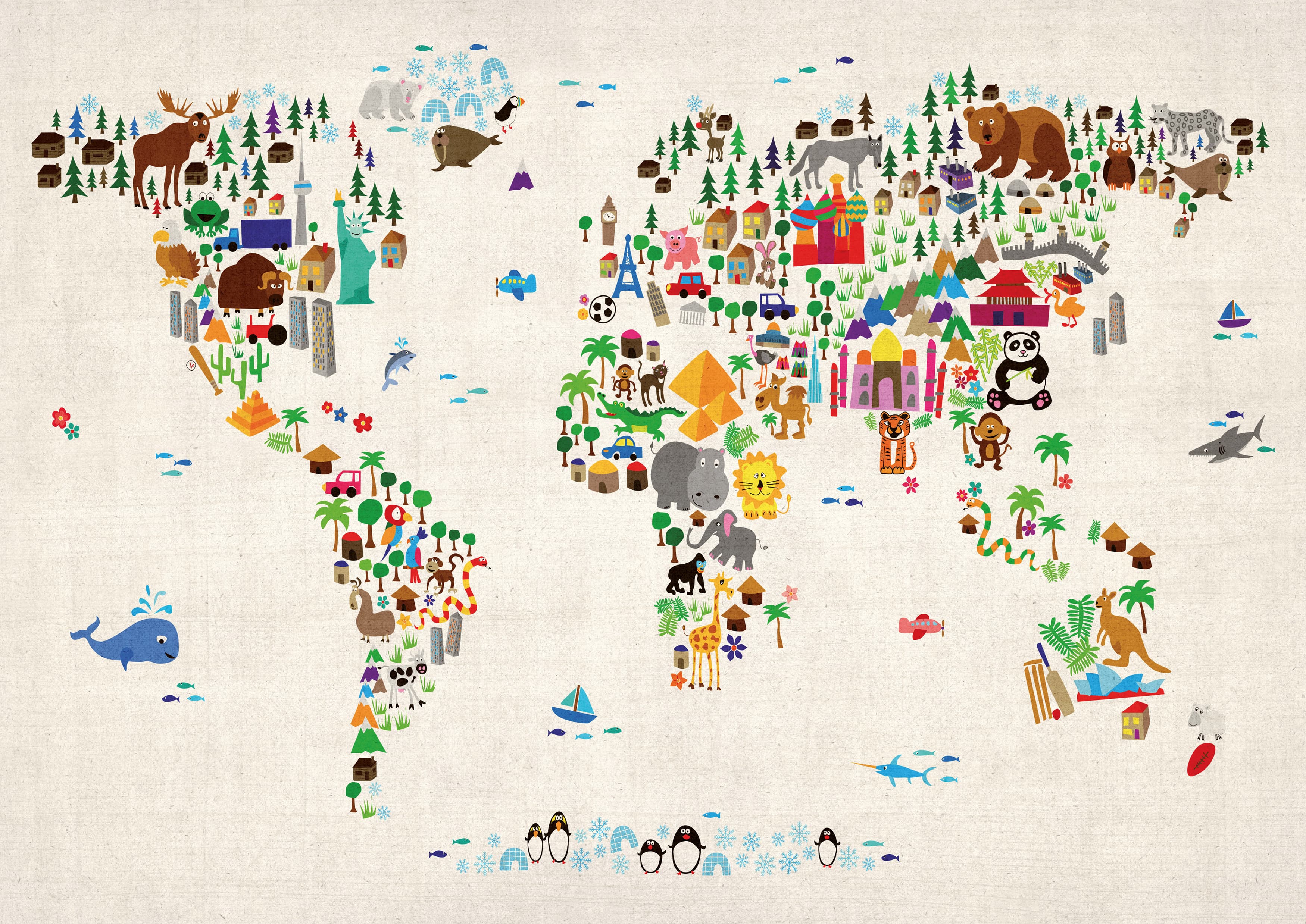
Children’s Europe Wall Map by Collins (Illustrated by Steve Evans)
760 × 492 mm • Paper / Laminated / Laminated + Hang Rails / Canvas / Canvas + Hang Rails • Made in Australia
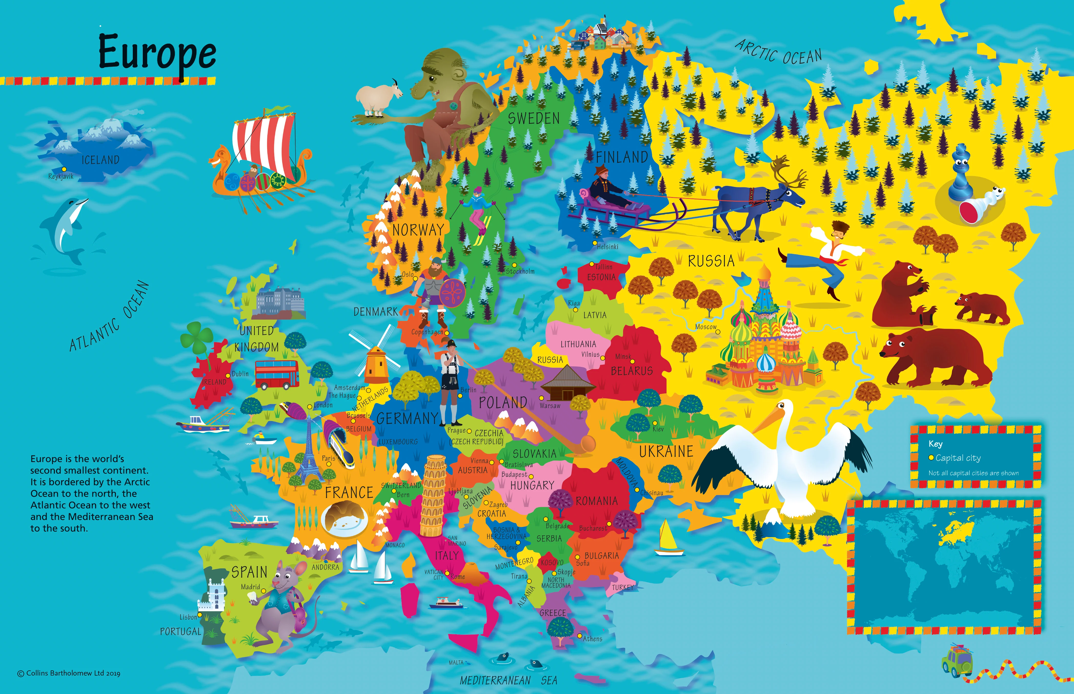
Turn your wall into a launchpad for curiosity. This beautifully illustrated Collins map—drawn by Steve Evans—mixes bright, child-friendly cartography with playful artwork so young learners (ages 4–8) can explore Europe’s countries, capitals, cultures, animals, foods, and landmarks at a glance.
🌟 What’s on the Map
-
🗺️ Countries & capitals clearly labelled for easy recognition
-
🐾 Pictorial icons for wildlife, famous buildings, sports, foods & traditions
-
🧭 Compass & simple legend to build early map skills
-
🌊 Major seas & islands for geographic context
-
🧒 Kid-first design: large, legible labels; balanced colours; clutter-free layout
Why Kids Love It (and Teachers Do, Too)
-
Instant engagement: charming illustrations invite questions and storytelling
-
Visual memory: icons help children remember places and facts faster
-
Confidence-building: simple features (legend, compass) make maps feel approachable
-
Discussion-ready: perfect springboard for show-and-tell, class displays, and projects
Learning Outcomes (Ages 4–8)
-
Geography basics: continents vs. countries; capital recognition; cardinal directions
-
Cultural awareness: compare foods, animals, and landmarks across nations
-
Map skills: symbols, legends, spatial relationships, and simple routes
-
Vocabulary growth: place names, landforms, and everyday cultural words
Try These No-Prep Activities
-
Capital Match: “Find the capital of Spain… Poland… Norway.”
-
Landmark Hunt: “Spot the Eiffel Tower, Colosseum, windmill—what countries are they in?”
-
Animal Safari: “Find a bear, reindeer, eagle—where do they live?”
-
Food Trail: “Which countries are known for pizza, waffles, or paella?”
-
Passport Journey: Trace a pretend trip Portugal → France → Germany → Poland.
Where It Belongs
Classrooms, libraries, child-care centres, playrooms, bedrooms, learning nooks, GP/dentist waiting rooms, community hubs, homeschooling spaces.
🎨 Finishes & Display Options
-
📄 Paper — FSC® 160 gsm Matte-Coated
Smooth, low-glare stock ideal for framing under glass. Printed with archival Hewlett-Packard pigment inks for excellent fade resistance and crisp colour. -
💧 Laminated — True Encapsulation
Printed on 120 gsm and sealed in 2 × 80-micron gloss laminate (edge-sealed).
Wipe-clean, tear-resistant, moisture-safe. Use non-permanent whiteboard markers and map dots. -
🪵 Laminated + Timber Hang Rails — Ready to Hang
Natural lacquered timber rails (top & bottom) with top hanging cord for a clean, frame-free display.
⏱️ Custom finish—please allow up to 10 working days for rail fitting. -
🖼️ Canvas — HP 395 gsm Professional Matte
Gallery-grade canvas + archival HP pigment inks for rich detail and long-term fade resistance. Low-glare, tactile surface. -
🪵 Canvas + Timber Hang Rails
The same premium canvas, finished with natural timber rails + top hanging cord—ready to hang.
⏱️ Custom finish—please allow up to 10 working days for rail fitting.
Dry-erase markers are recommended only on laminated versions.
📐 Specifications
| Attribute | Details |
|---|---|
| Title | Children’s Europe Wall Map by Collins |
| Illustrator | Steve Evans |
| Size | 760 mm (W) × 492 mm (H) |
| Audience | Ages 4–8 |
| Content | Countries, capitals, icons (animals, foods, landmarks, sports, culture) |
| Formats | Paper • Laminated • Laminated + Hang Rails • Canvas • Canvas + Hang Rails |
| Printing | Archival HP pigment inks (fade-resistant) |
| Paper | FSC® 160 gsm matte-coated |
| Canvas | HP 395 gsm Professional Matte |
| Origin | Made in Australia |
Care Tips
-
Laminated: Use non-permanent whiteboard markers; wipe with a dry microfiber cloth (lightly damp if needed).
-
Paper: Frame under glass to protect the print surface.
-
Canvas: Dust gently; avoid liquids and prolonged direct sunlight.
🎁 Gift-Ready
A thoughtful present for birthdays, classrooms, and new playrooms—pairs beautifully with a globe or children’s atlas.
🤝 Our Commitment
-
Local craftsmanship: Printed and finished in Australia for consistent quality.
-
Sustainable choices: FSC® papers and long-life HP pigment inks reduce waste and maximise longevity.
-
Clarity first: Legends, colours, and label hierarchies tuned for kid-friendly readability.
-
Packed with care: Each map is hand-checked and securely boxed to arrive clean and display-ready.
Bring Europe to their wall—bright, friendly, and endlessly explorable. Choose your finish and make geography the favourite subject at home or school.