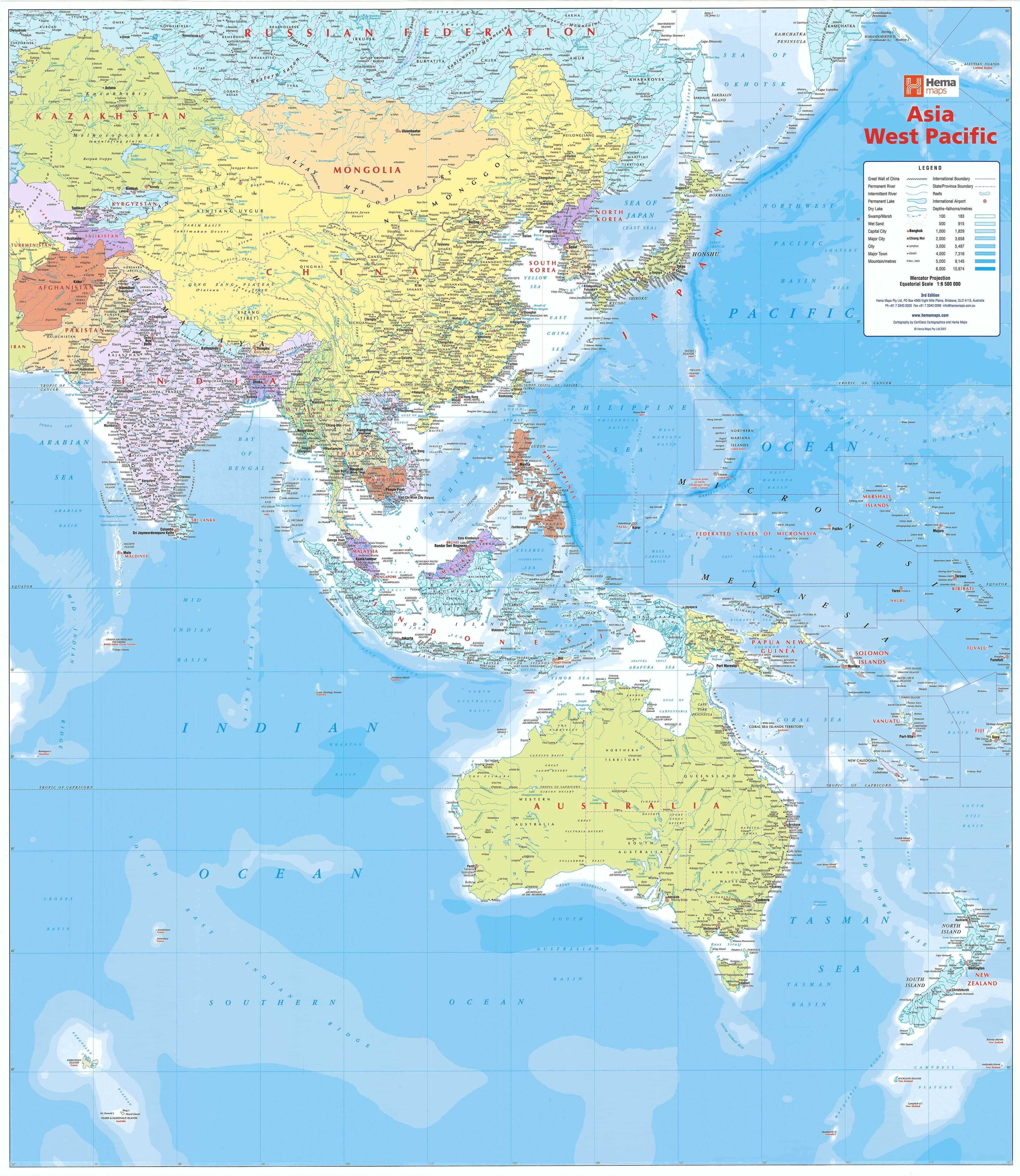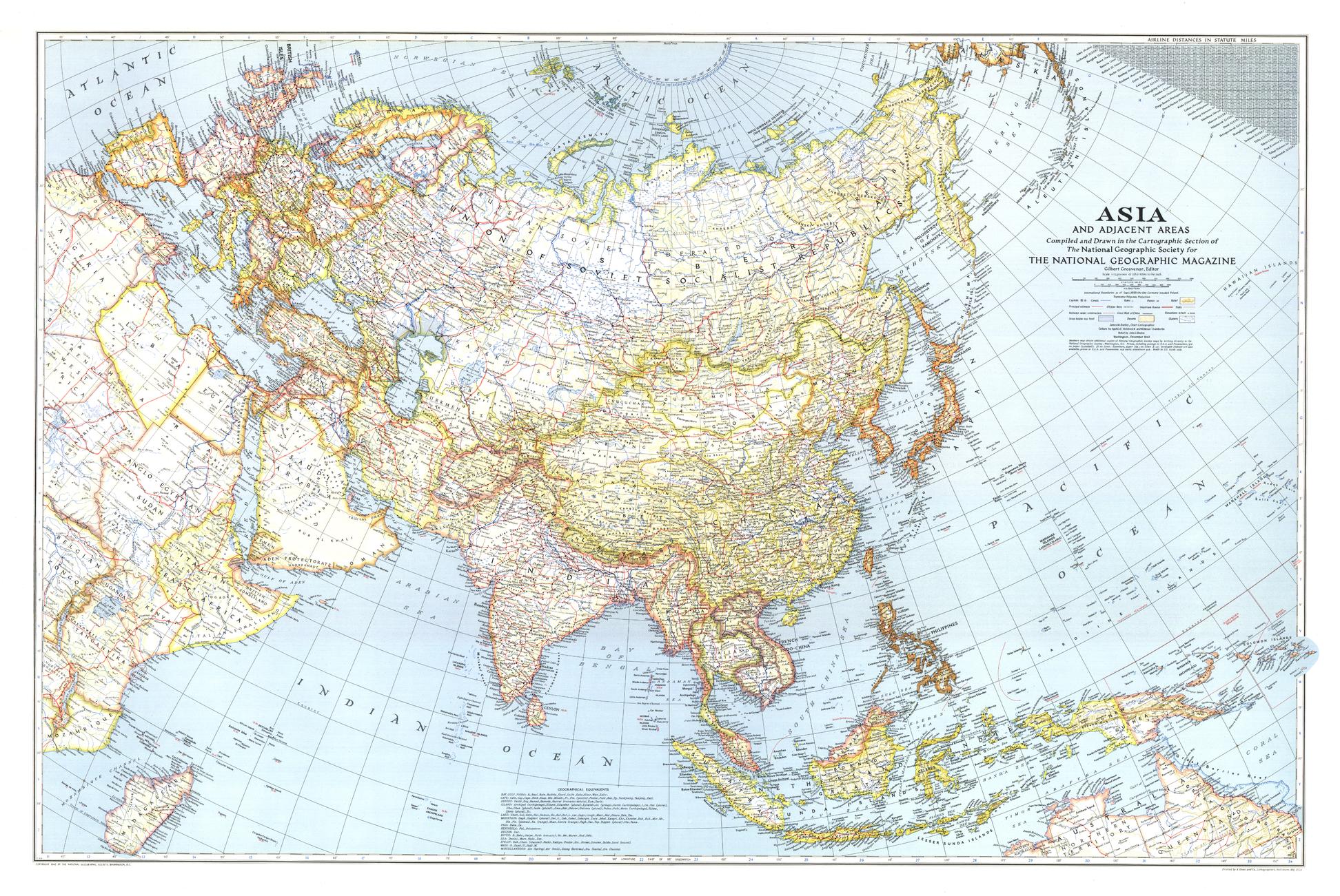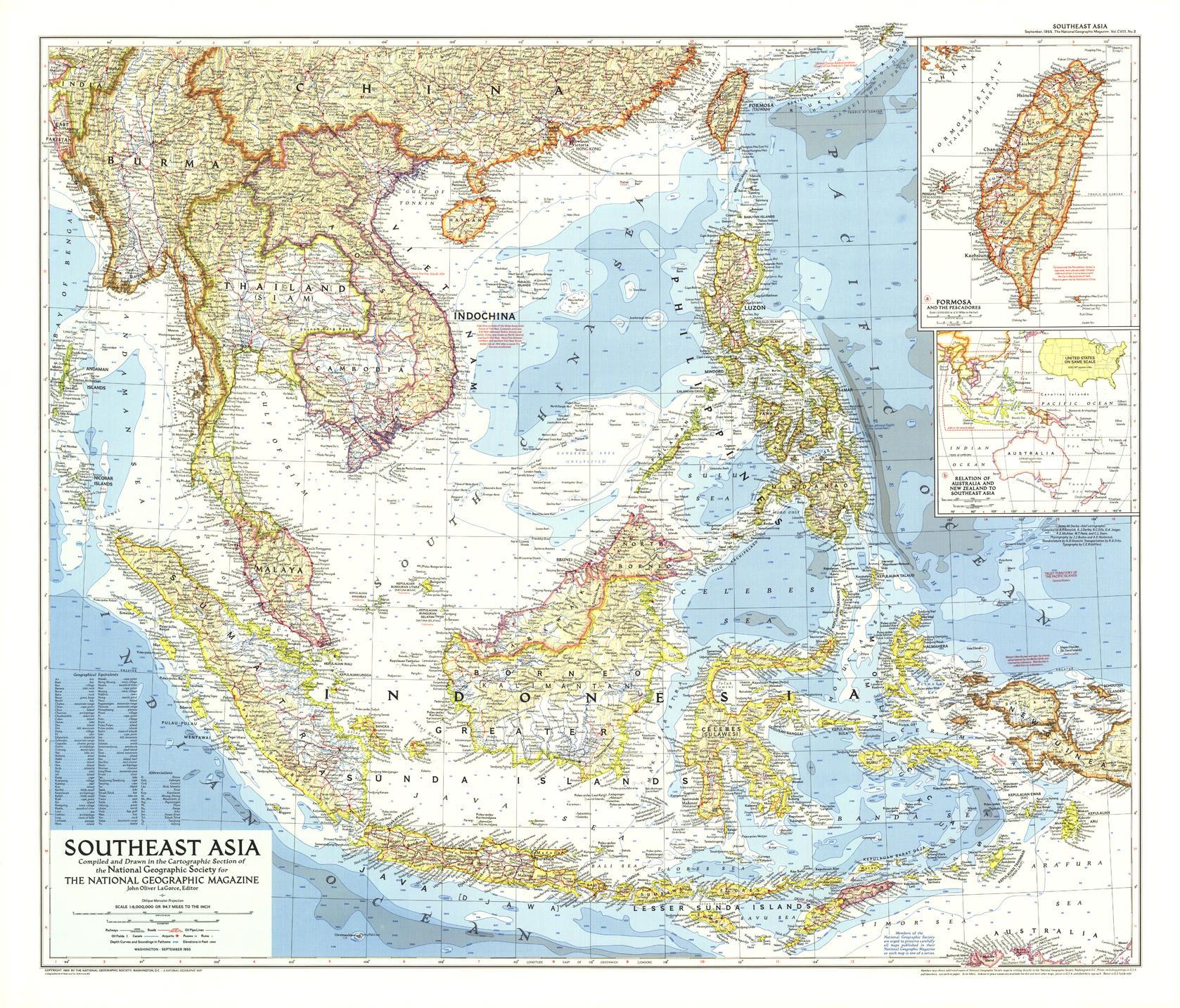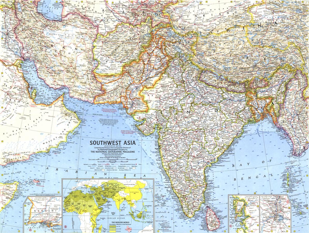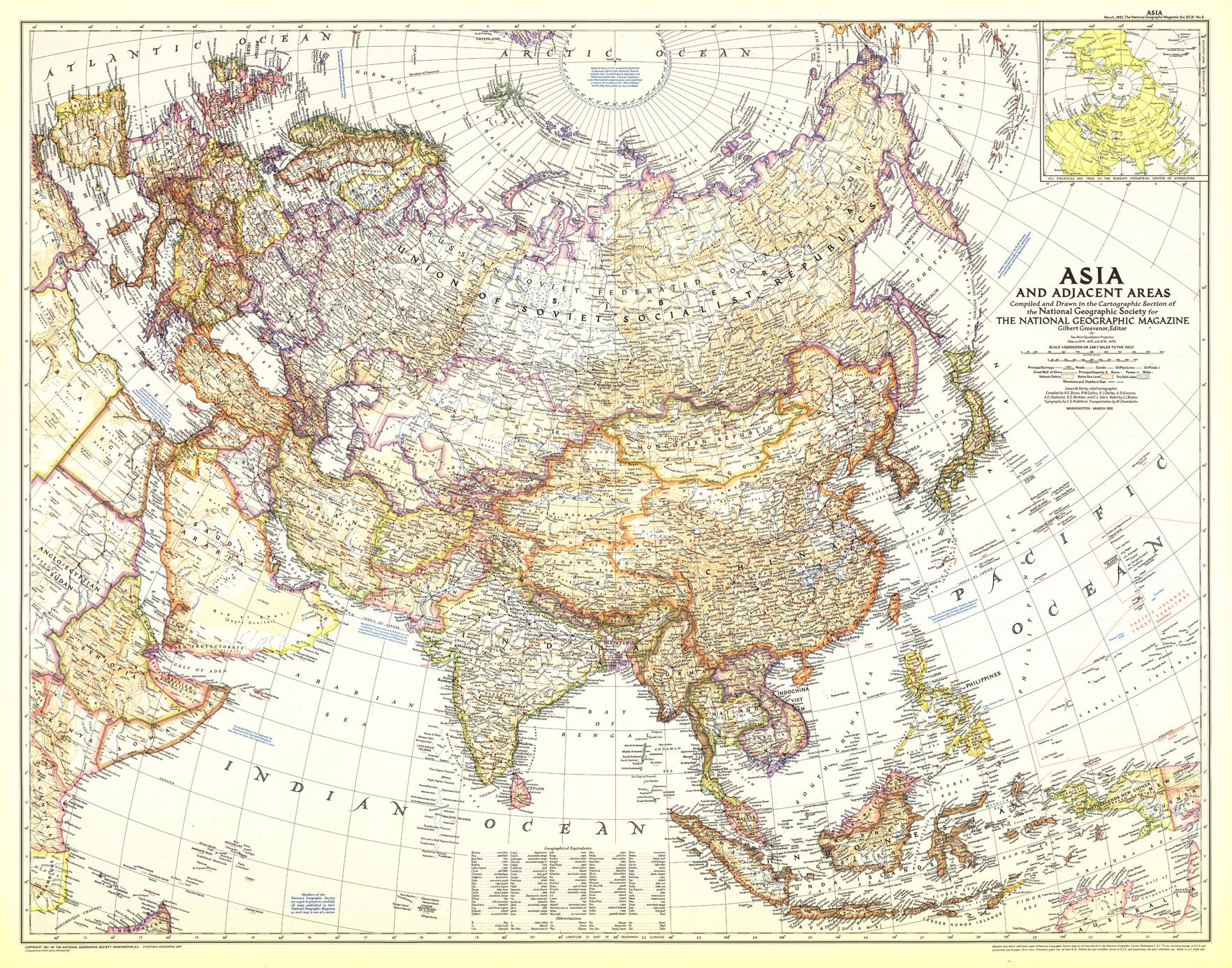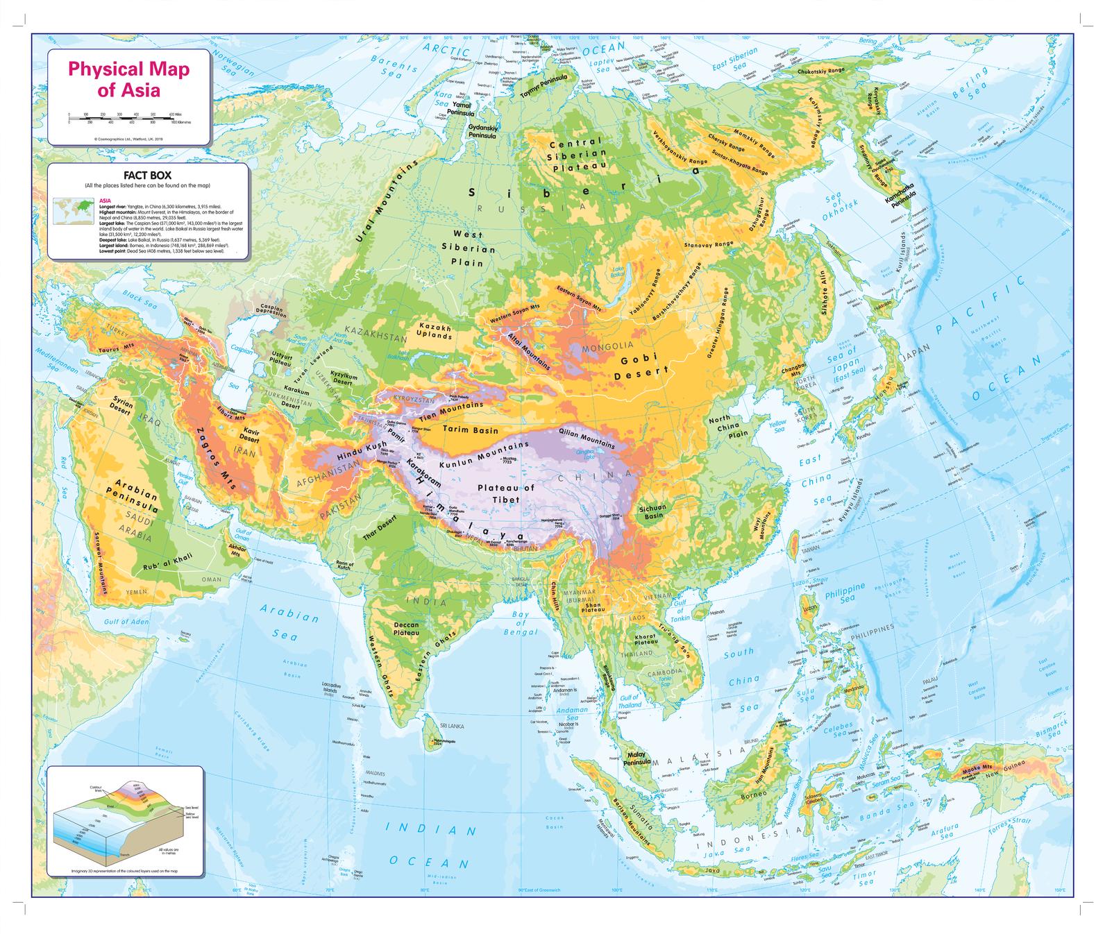
Children’s Physical Map of Asia (Colour-Blind Inclusive)
804 × 668 mm • Scale 1:12,000,000 • Paper / Laminated / Laminated + Hang Rails / Canvas / Canvas + Hang Rails • Published 2019 • Made in Australia
Help every learner “see” Asia. Purpose-built with a colour-blind–friendly palette, this richly illustrated wall map shows major landforms (mountain ranges, deserts, plains, rivers) and seabed relief (trenches, ridges, shelves). A clean legend and a kid-friendly facts box make it perfect for classrooms, libraries, and home learning spaces.
🌏 What’s on the Map
-
Accessible colour design: Optimised contrasts for common colour-vision deficiencies (Deuteranopia, Protanopia, Tritanopia).
-
Physical land & ocean relief: Ranges, highlands/lowlands, river systems, lakes, seas, continental shelves & deep-ocean trenches.
-
Clear labelling: Large, legible type; neat linework; uncluttered legend for independent use.
-
Orientation helpers: Simple scale bar, directional arrow, and latitude/longitude cues for early map-skills.
🎒 Learning Outcomes (Ages ~6–12)
-
Identify major Asian landforms and water bodies.
-
Compare elevation vs. depth using colours and shading.
-
Build vocabulary: plateau, delta, basin, trench, peninsula, isthmus.
-
Relate physical geography to climate & habitats (discussion prompts included in the facts box).
🏫 Teacher & Parent Ideas
-
Find & Trace: Have learners trace a river from source to sea and name countries it crosses.
-
Mountain Match: Locate and compare Himalayan vs. Anatolian highlands—Which are higher? Why?
-
Coastline Count: Spot gulfs, bays, and peninsulas; discuss trade and settlements.
-
Ocean Inquiry: Use the seabed layer to introduce plate boundaries and earthquakes/tsunamis.
Tip: Pair with a political map of Asia for an easy physical-vs-political comparison exercise.
🎨 Finishes & Display Options
-
📄 Paper (FSC® 160 gsm Matte-Coated)
Smooth, low-glare stock—ideal for framing under glass. Printed with archival Hewlett-Packard pigment inks for excellent fade resistance. -
💧 Laminated (True Encapsulation)
Printed on 120 gsm, sealed in 2 × 80-micron gloss laminate (edge-sealed).
Wipe-clean • Tear-resistant • Classroom-tough — annotate with whiteboard markers and use map dots. -
🪵 Laminated + Timber Hang Rails (Ready to Hang)
Natural lacquered timber rails (top & bottom) with a top hanging cord—a clean, frame-free display.
⏱️ Made to order — please allow up to 10 working days for rail fitting. -
🖼️ Canvas (HP 395 gsm Professional Matte)
Gallery-grade canvas + archival HP pigment inks for rich detail, low glare, and long-term fade resistance. -
🪵 Canvas + Timber Hang Rails
Premium canvas finished with natural timber rails + top hanging cord—ready to hang.
⏱️ Made to order — please allow up to 10 working days for rail fitting.
Use dry-erase markers on laminated versions only.
📐 Specifications
| Attribute | Details |
|---|---|
| Title | Children’s Physical Map of Asia |
| Size | 804 mm (W) × 668 mm (H) |
| Scale | 1:12,000,000 |
| Edition | 2019 |
| Content | Physical land & seabed features, legend, facts box, accessibility-tuned palette |
| Formats | Paper • Laminated • Laminated + Hang Rails • Canvas • Canvas + Hang Rails |
| Printing | Archival HP pigment inks (fade-resistant) |
| Paper | FSC® 160 gsm matte-coated (paper version) |
| Canvas | HP 395 gsm Professional Matte |
| Origin | Made in Australia |
🧩 Who It’s For
Classrooms • Learning support rooms • Homeschoolers • Libraries • Museums & discovery centres • Tutoring spaces
📦 Shipping & Presentation
-
Rolled and shipped in a sturdy tube (paper/laminated).
-
Hang-railed canvas/laminated maps are professionally finished before dispatch (lead time above).
-
Gift-ready presentation available on request (no prices on paperwork).
🛠️ Mounting & Care
-
Paper: Frame under glass or mount on foam board for durability.
-
Laminated: Use non-permanent whiteboard markers; wipe with a dry microfiber cloth (lightly damp if needed).
-
Canvas: Dust gently; avoid liquids and prolonged direct sunlight.
🤝 Our Commitment
-
Local craftsmanship: Designed, printed, and finished in Australia.
-
Better materials: FSC® papers, heavy-duty canvas, and archival HP pigment inks for long-lasting colour.
-
Inclusive by design: Palette and contrast tuned for colour-vision accessibility so more learners can engage.
-
Checked & protected: Every map is hand-inspected and securely packed to arrive clean and display-ready.
Make physical geography click—for every learner. Choose your finish and bring Asia’s land and ocean story to your wall today.