Children's Physical Map of the UK 640 x 910mm
Children’s Physical Map of the UK (Colour-Blind Friendly)
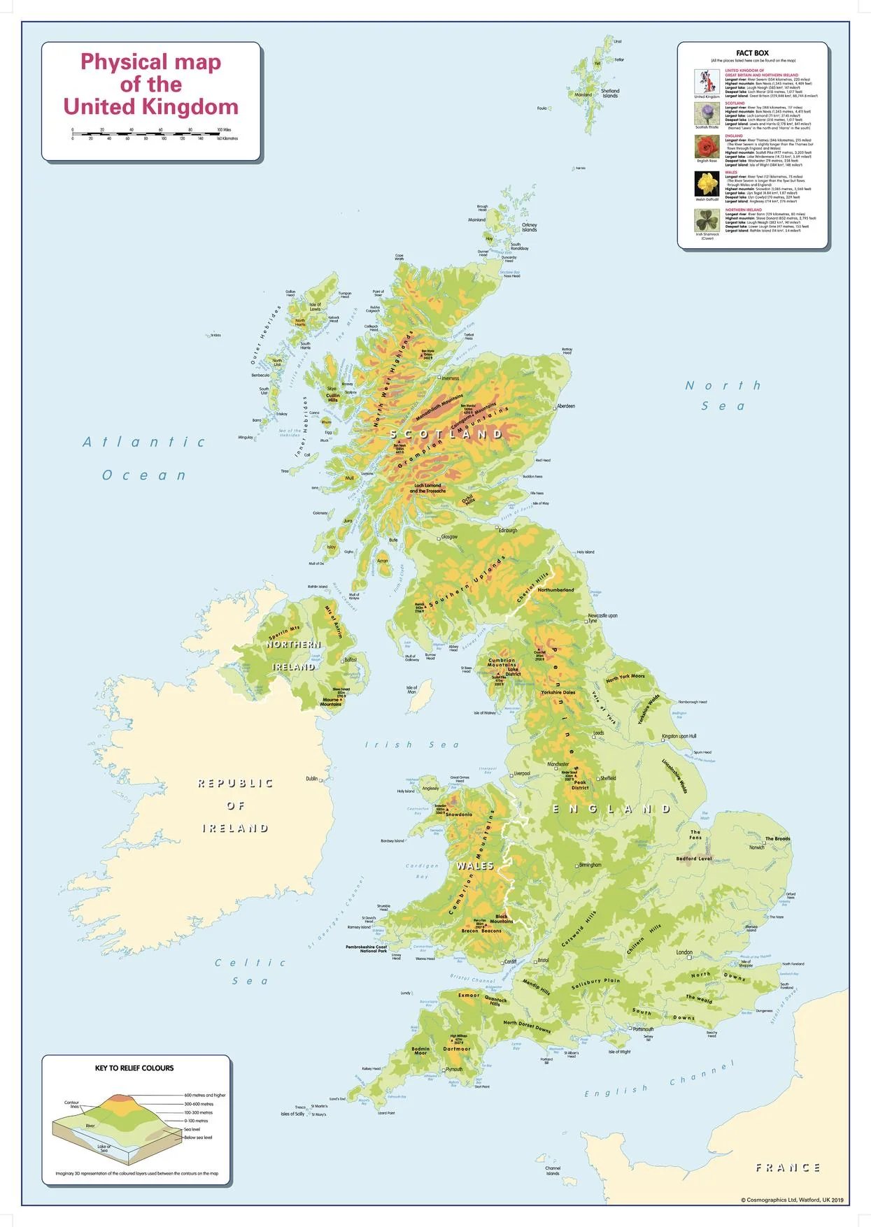
640 × 910 mm • Paper / Laminated / Laminated + Hang Rails / Canvas / Canvas + Hang Rails • Printed in Australia
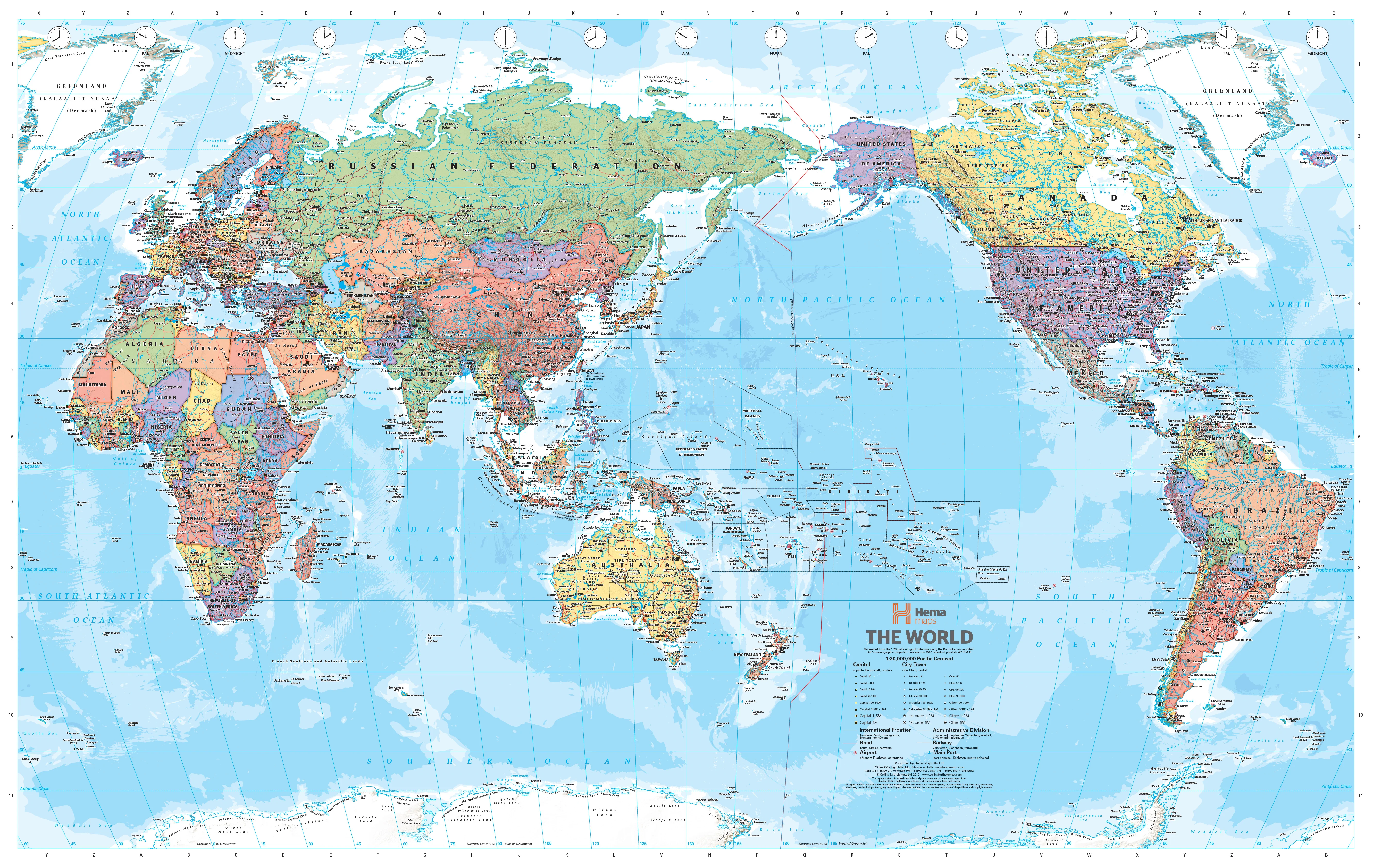
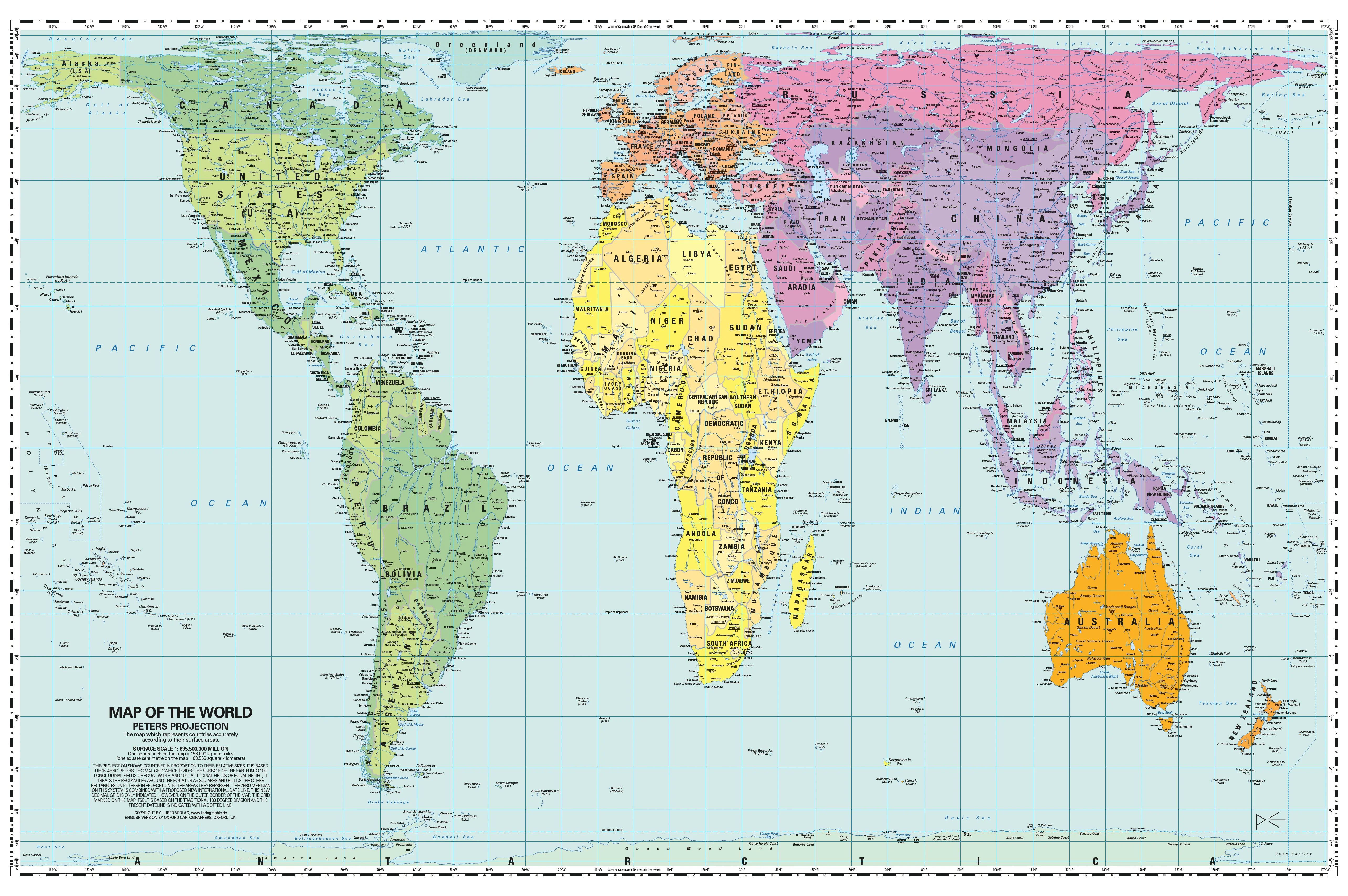
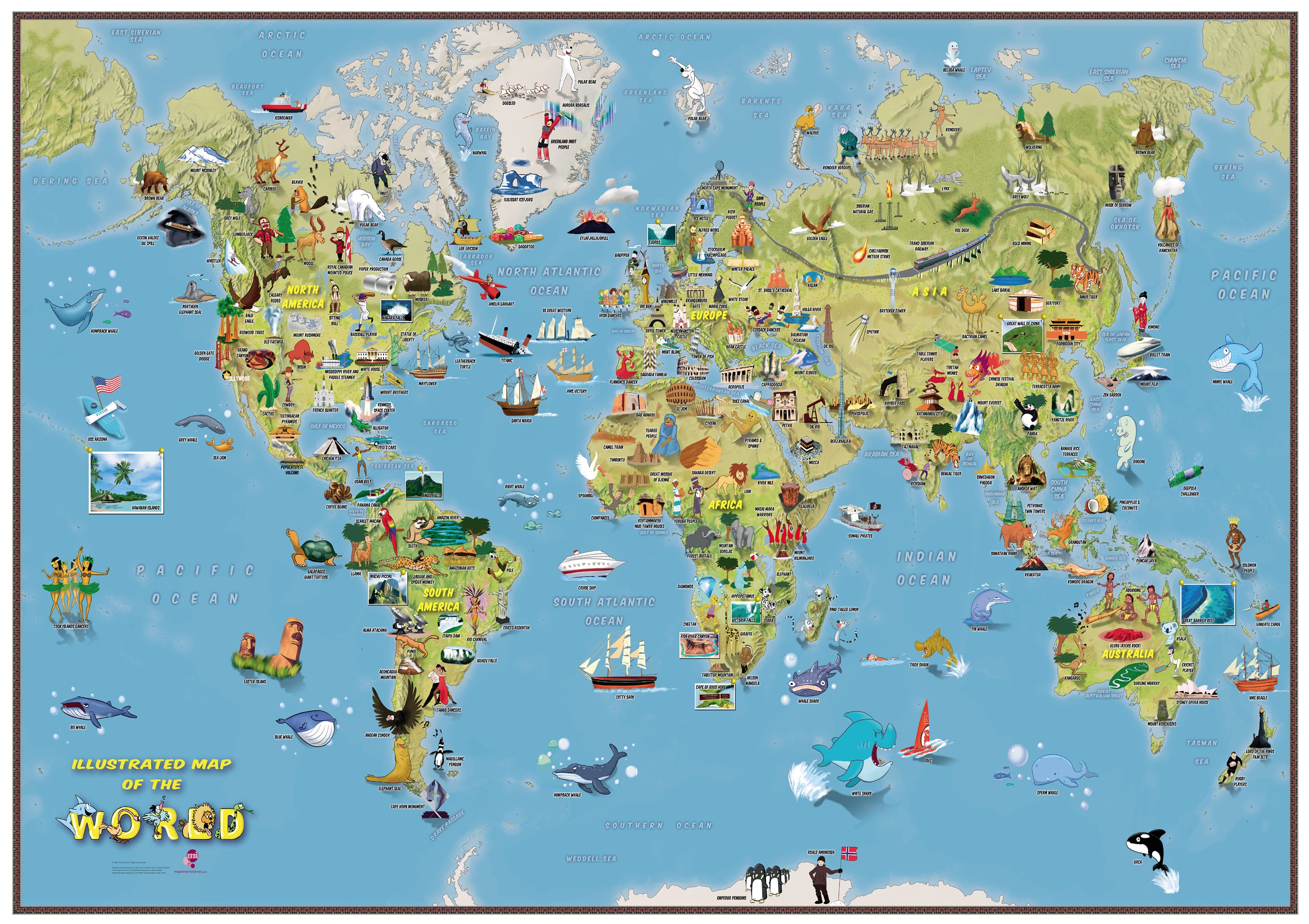
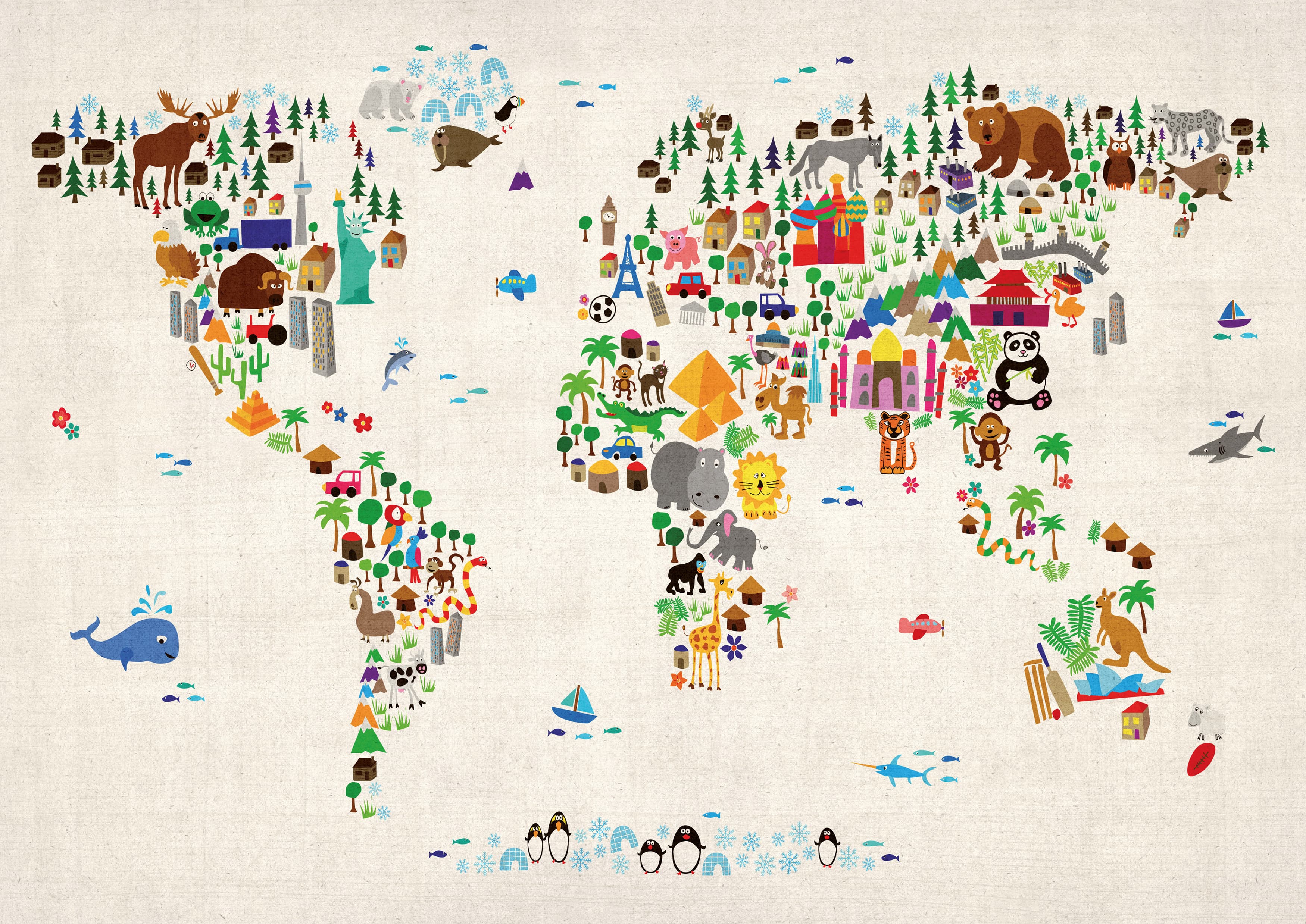
Turn curiosity into confidence. This clear, colour-blind–inclusive physical map helps young learners (ages 6–12) read the UK’s mountains, uplands, rivers, coasts, and surrounding seabed features at a glance—plus a handy facts box for quick reference at home or in the classroom.
🌎 What Kids Learn
-
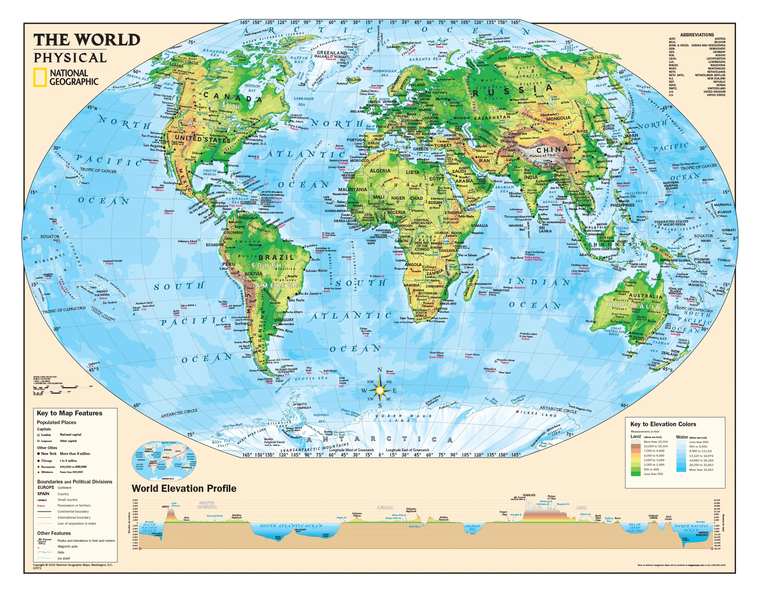
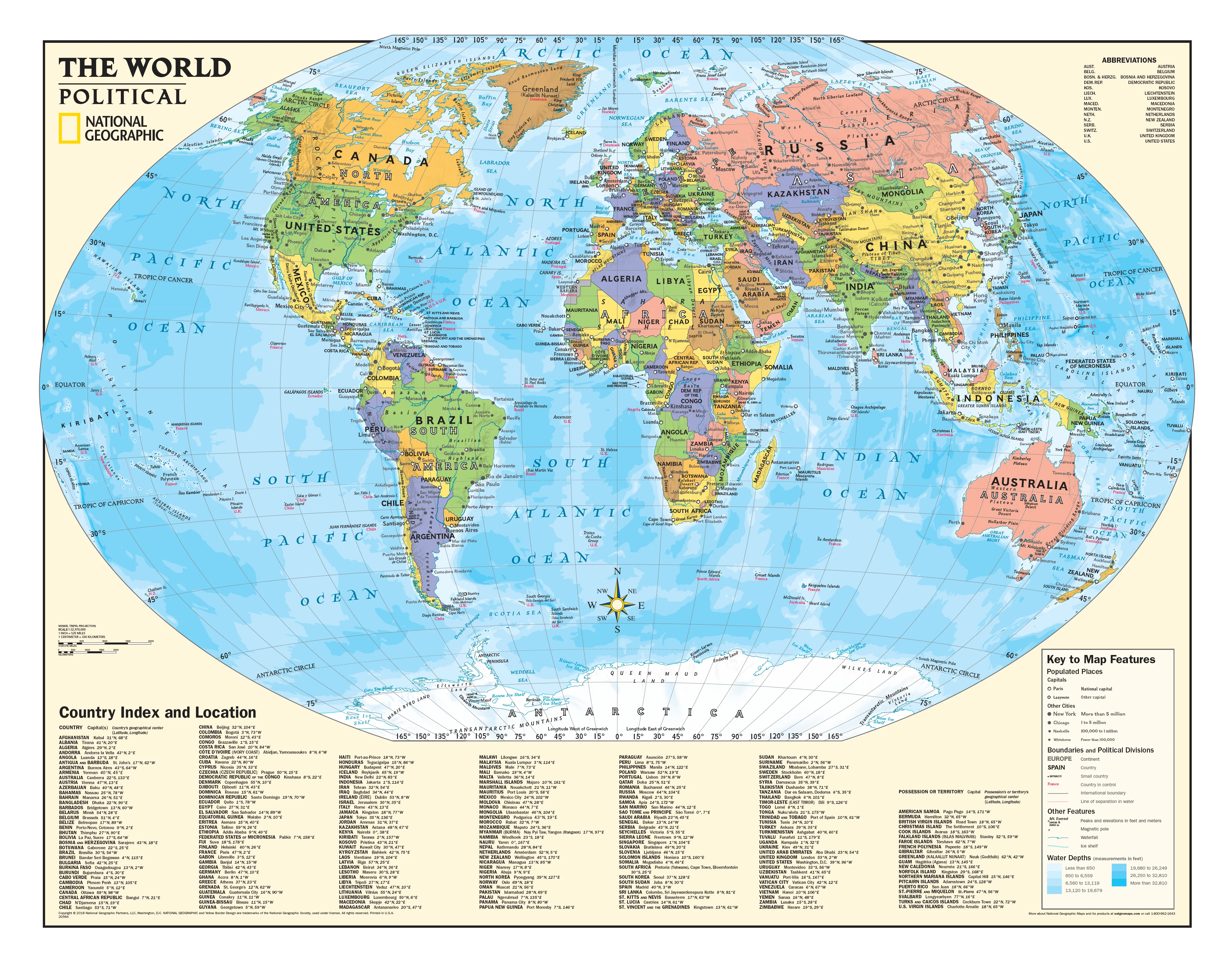
🗺️ Physical geography: ranges, moors, lowlands, rivers, lakes & seas
-
🌊 Seafloor awareness: shelves, basins and channels around the Isles
-
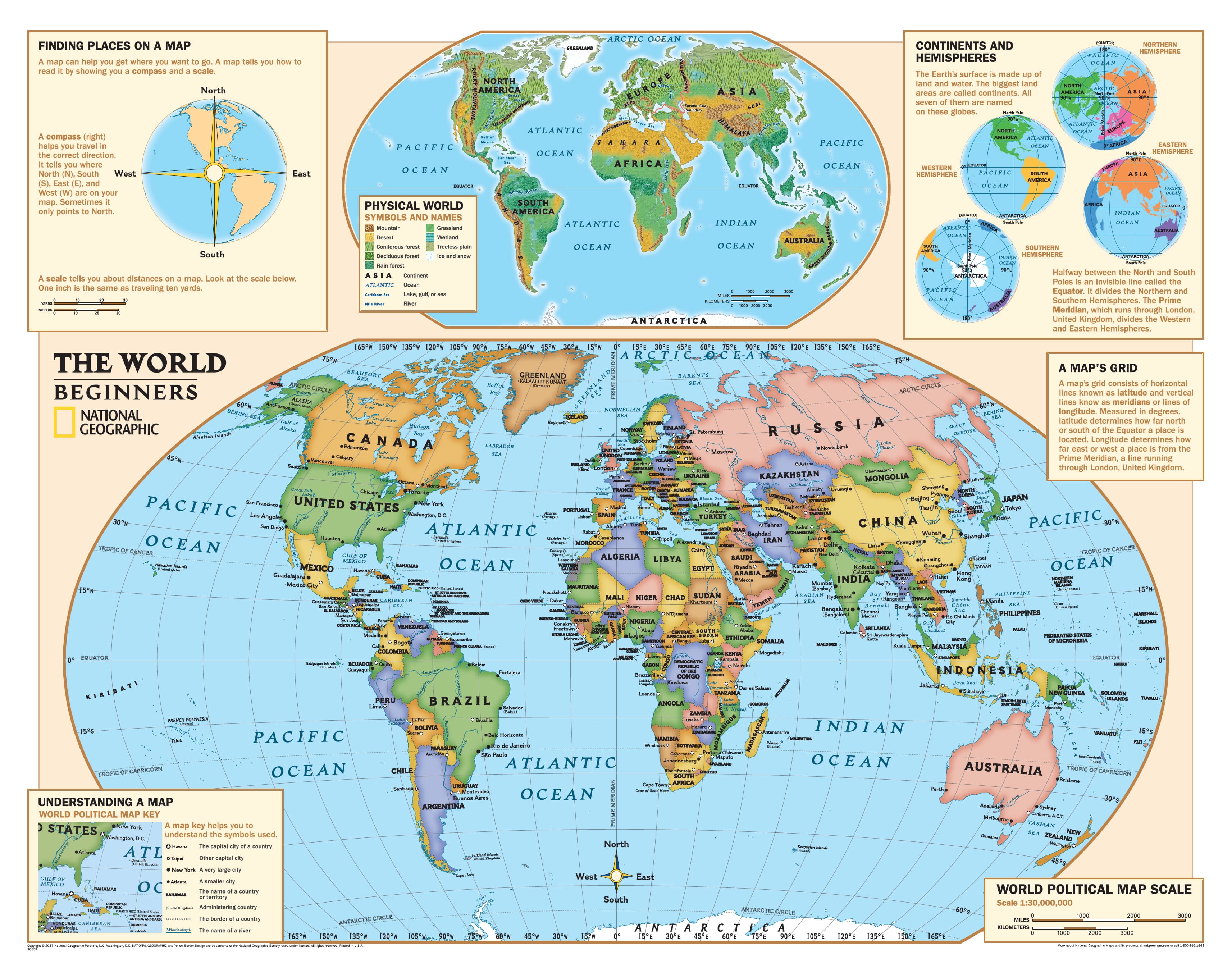
🧭 Map skills: compass, legend, scale (1:1,400,000) & distance estimation
-
🧠 Memory & vocab: terms like highlands, fells, estuary, channel, plateau
-
👀 Accessible design: colour-blind–friendly palette with bold, child-readable type
🧩 What’s on the Map
-
Uncluttered physical base with clear relief shading and hydrography
-
Seabed labels linking landforms with surrounding waters (North Sea, Channel, Irish Sea)
-
Legend & compass rose sized for quick teaching moments
-
Facts box with bite-size UK geography essentials
🎨 Finishes & Display Options
-
📄 Paper — FSC® 160 gsm Matte-Coated
Smooth, low-glare stock ideal for framing under glass. Printed with archival Hewlett-Packard pigment inks for excellent fade resistance. -
💧 Laminated — True Encapsulation
Printed on 120 gsm and sealed in 2 × 80-micron gloss laminate (edge-sealed).
Wipe-clean • Tear-resistant • Moisture-safe — use non-permanent whiteboard markers and map dots. -
🪵 Laminated + Timber Hang Rails — Ready to Hang
Natural lacquered timber rails (top & bottom) + top hanging cord for a polished, frame-free display.
⏱️ Custom finish — please allow up to 10 working days for rail fitting. -
🖼️ Canvas — HP 395 gsm Professional Matte
Gallery-grade canvas + archival HP pigment inks for rich detail and long-term fade resistance. -
🪵 Canvas + Timber Hang Rails
Same premium canvas, finished with natural timber rails + top hanging cord — ready to hang.
⏱️ Custom finish — please allow up to 10 working days for rail fitting.
Dry-erase markers are recommended only on laminated versions.
📐 Specifications
| Attribute | Details |
|---|---|
| Title | Children’s Physical Map of the UK |
| Type | Physical (landforms & seabed features) |
| Size | 640 mm (W) × 910 mm (H) |
| Scale | 1 : 1,400,000 |
| Accessibility | Colour-blind–friendly palette & bold, child-readable type |
| Content | Relief shading, hydrography, seabed labels, legend, compass, facts box |
| Formats | Paper • Laminated • Laminated + Hang Rails • Canvas • Canvas + Hang Rails |
| Printing | Archival HP pigment inks (fade-resistant) |
| Paper | FSC® 160 gsm matte-coated |
| Canvas | HP 395 gsm Professional Matte |
| Publication | 2019 |
| Origin | Printed in Australia |
🧑🏫 Teaching Ideas (quick wins)
-
Highland to Harbour: Start in a mountain range; trace a river to the sea.
-
Channel Check: Find the English Channel and discuss ferries, tunnels, and tides.
-
Name that Upland: Point to a shaded area—kids identify fells, moors, or downs nearby.
-
Scale It: Use the scale bar to estimate distances between two cities.
🏠 Where It Fits
Classrooms • Libraries • Homeschool walls • After-school programs • Family study corners
🧽 Care
-
Laminated: Use non-permanent whiteboard markers; wipe with a dry microfibre cloth (lightly damp if needed).
-
Paper: Frame under glass for longevity.
-
Canvas: Dust gently; avoid liquids and prolonged direct sunlight.
🤝 Our Commitment
-
Local craftsmanship: Printed and finished in Australia.
-
Sustainable materials: FSC® papers + long-life HP pigment inks to reduce waste.
-
Kid-ready clarity: Legends, colours, and label hierarchies tuned for wall readability.
-
Packed with care: Hand-checked and securely boxed to arrive clean and display-ready.
Bring the UK’s land and sea to life for young geographers.
Choose your finish and make physical geography their new favourite subject.
Product Information
Product Information
Shipping & Returns
Shipping & Returns
Description
Children’s Physical Map of the UK (Colour-Blind Friendly)
640 × 910 mm • Paper / Laminated / Laminated + Hang Rails / Canvas / Canvas + Hang Rails • Printed in Australia
Turn curiosity into confidence. This clear, colour-blind–inclusive physical map helps young learners (ages 6–12) read the UK’s mountains, uplands, rivers, coasts, and surrounding seabed features at a glance—plus a handy facts box for quick reference at home or in the classroom.
🌎 What Kids Learn
-
🗺️ Physical geography: ranges, moors, lowlands, rivers, lakes & seas
-
🌊 Seafloor awareness: shelves, basins and channels around the Isles
-
🧭 Map skills: compass, legend, scale (1:1,400,000) & distance estimation
-
🧠 Memory & vocab: terms like highlands, fells, estuary, channel, plateau
-
👀 Accessible design: colour-blind–friendly palette with bold, child-readable type
🧩 What’s on the Map
-
Uncluttered physical base with clear relief shading and hydrography
-
Seabed labels linking landforms with surrounding waters (North Sea, Channel, Irish Sea)
-
Legend & compass rose sized for quick teaching moments
-
Facts box with bite-size UK geography essentials
🎨 Finishes & Display Options
-
📄 Paper — FSC® 160 gsm Matte-Coated
Smooth, low-glare stock ideal for framing under glass. Printed with archival Hewlett-Packard pigment inks for excellent fade resistance. -
💧 Laminated — True Encapsulation
Printed on 120 gsm and sealed in 2 × 80-micron gloss laminate (edge-sealed).
Wipe-clean • Tear-resistant • Moisture-safe — use non-permanent whiteboard markers and map dots. -
🪵 Laminated + Timber Hang Rails — Ready to Hang
Natural lacquered timber rails (top & bottom) + top hanging cord for a polished, frame-free display.
⏱️ Custom finish — please allow up to 10 working days for rail fitting. -
🖼️ Canvas — HP 395 gsm Professional Matte
Gallery-grade canvas + archival HP pigment inks for rich detail and long-term fade resistance. -
🪵 Canvas + Timber Hang Rails
Same premium canvas, finished with natural timber rails + top hanging cord — ready to hang.
⏱️ Custom finish — please allow up to 10 working days for rail fitting.
Dry-erase markers are recommended only on laminated versions.
📐 Specifications
| Attribute | Details |
|---|---|
| Title | Children’s Physical Map of the UK |
| Type | Physical (landforms & seabed features) |
| Size | 640 mm (W) × 910 mm (H) |
| Scale | 1 : 1,400,000 |
| Accessibility | Colour-blind–friendly palette & bold, child-readable type |
| Content | Relief shading, hydrography, seabed labels, legend, compass, facts box |
| Formats | Paper • Laminated • Laminated + Hang Rails • Canvas • Canvas + Hang Rails |
| Printing | Archival HP pigment inks (fade-resistant) |
| Paper | FSC® 160 gsm matte-coated |
| Canvas | HP 395 gsm Professional Matte |
| Publication | 2019 |
| Origin | Printed in Australia |
🧑🏫 Teaching Ideas (quick wins)
-
Highland to Harbour: Start in a mountain range; trace a river to the sea.
-
Channel Check: Find the English Channel and discuss ferries, tunnels, and tides.
-
Name that Upland: Point to a shaded area—kids identify fells, moors, or downs nearby.
-
Scale It: Use the scale bar to estimate distances between two cities.
🏠 Where It Fits
Classrooms • Libraries • Homeschool walls • After-school programs • Family study corners
🧽 Care
-
Laminated: Use non-permanent whiteboard markers; wipe with a dry microfibre cloth (lightly damp if needed).
-
Paper: Frame under glass for longevity.
-
Canvas: Dust gently; avoid liquids and prolonged direct sunlight.
🤝 Our Commitment
-
Local craftsmanship: Printed and finished in Australia.
-
Sustainable materials: FSC® papers + long-life HP pigment inks to reduce waste.
-
Kid-ready clarity: Legends, colours, and label hierarchies tuned for wall readability.
-
Packed with care: Hand-checked and securely boxed to arrive clean and display-ready.
Bring the UK’s land and sea to life for young geographers.
Choose your finish and make physical geography their new favourite subject.