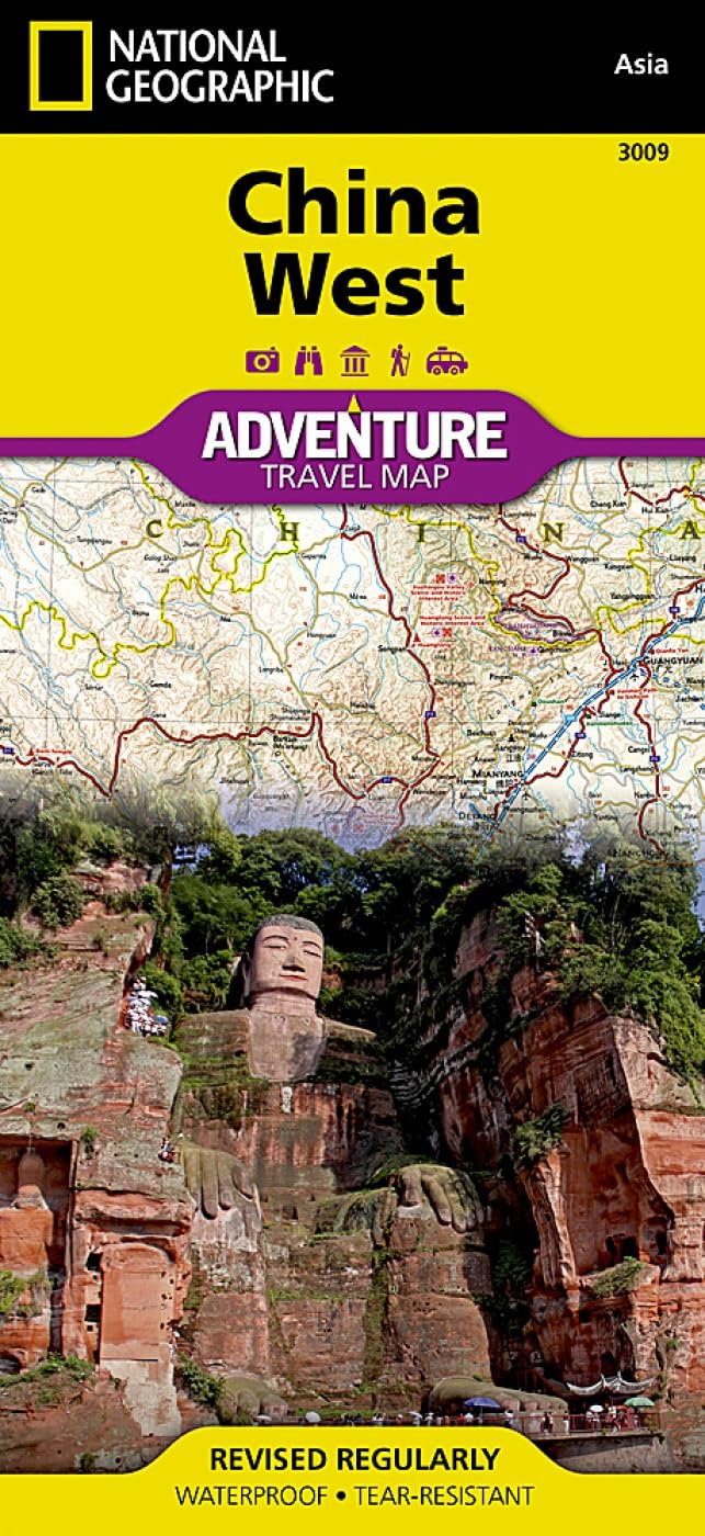
China West National Geographic Folded Map
China West — National Geographic Adventure Map (Folded Travel Map)
965 × 660 mm • Scale 1 : 2,950,000 • Waterproof • Tear-Resistant
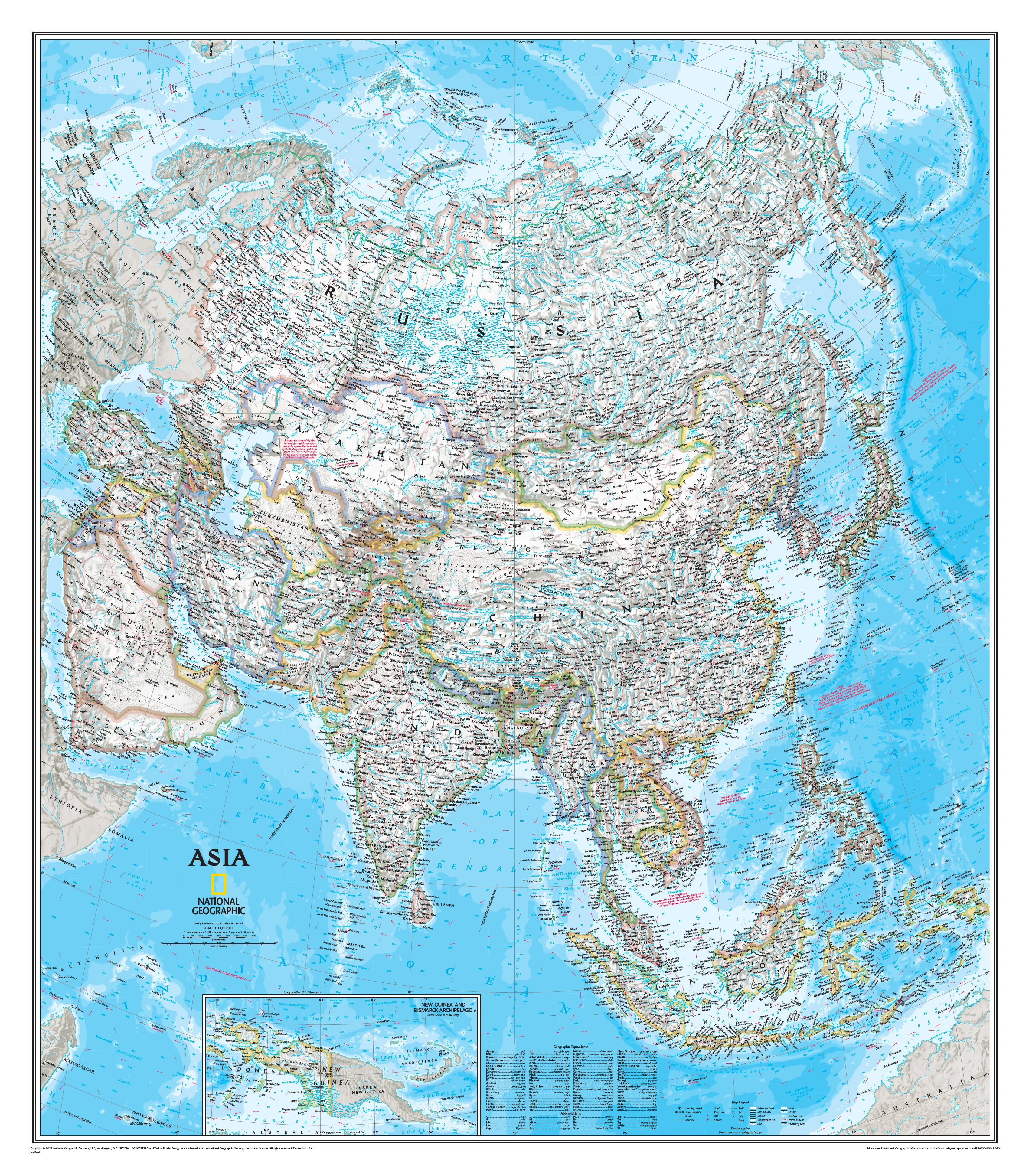
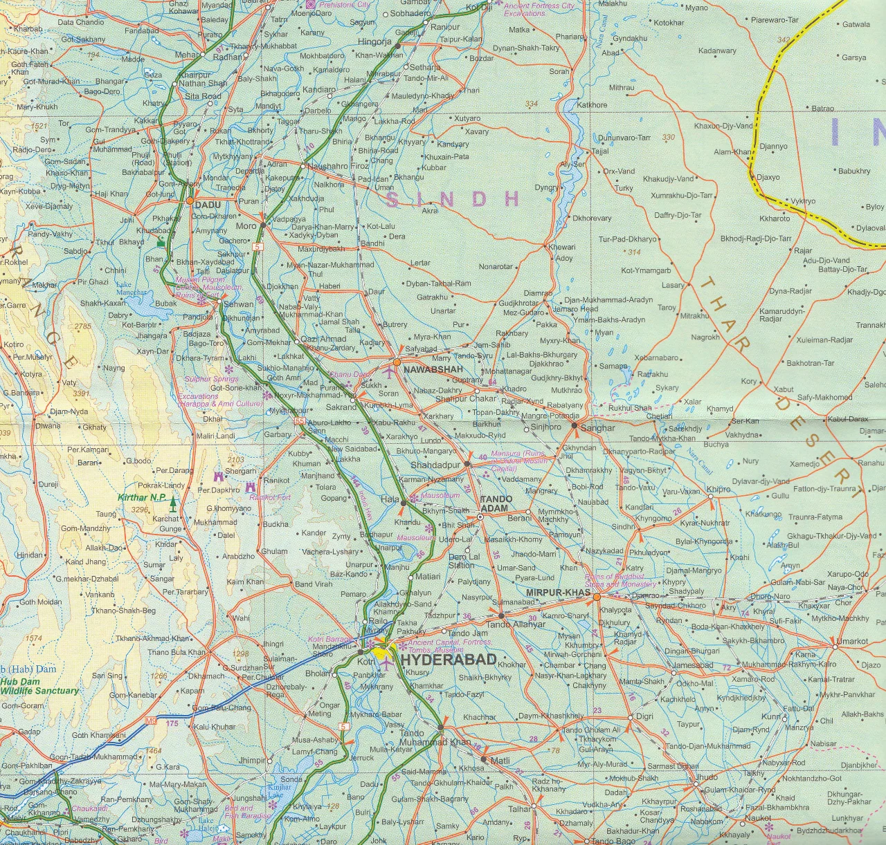
Chart a course across one of Earth’s most vast and awe-inspiring regions with the China West Adventure Map by National Geographic — a premium travel map engineered for explorers who want dependable navigation and authoritative cartography in challenging environments. Covering immense landscapes from Central Asian borders to China’s cultural heartlands, this rugged, travel-ready map is designed to guide real journeys, not just decorate shelves.
🗺️ What This Map Shows
-
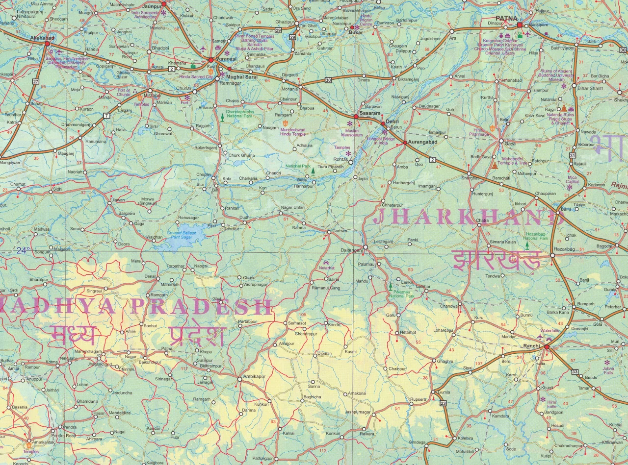
Western China in full geographic context — from Russia, Kazakhstan, and Kyrgyzstan south toward India, Nepal, and Bhutan
-
Major cities including Chengdu, Xi’an, Chongqing, Lanzhou, Taiyuan, Zhengzhou, Hohhot, Yinchuan and Baotou
-
Remote regions such as Xinjiang, Tibet, and Inner Mongolia
-
Major highways, secondary roads, and remote routes
-
Airports, railways, and transport corridors
-
National parks, heritage sites, and major natural landmarks
This is a true regional exploration map — ideal for understanding distances, terrain, and travel routes across western China’s immense landscapes.
🧭 Designed for Adventure Travel
National Geographic’s Adventure Map series is built for real-world use:
-
Waterproof synthetic paper — resists rain, spills, and humidity
-
Tear-resistant construction — stands up to repeated folding and field use
-
Lightweight and compact — folds small, opens large
-
Clear, authoritative cartography — trusted worldwide
Whether you're travelling overland, researching geography, or planning multi-country journeys, this map delivers dependable navigation.
✨ Why Travellers Choose National Geographic Maps
-
Renowned global cartographic authority
-
Carefully curated points of interest
-
Balanced design: clarity + information density
-
Reliable scale for regional planning
-
Ideal companion when GPS signal drops
📐 Size & Specifications
| Feature | Detail |
|---|---|
| Title | China West Adventure Map |
| Publisher | National Geographic Maps |
| Scale | 1 : 2,950,000 |
| Flat Size | 965 × 660 mm |
| Folded Size | 108 × 235 mm |
| Format | Folded, double-sided |
| Material | Waterproof, tear-resistant synthetic paper |
| ISBN-13 | 978-1566955942 |
| ISBN-10 | 1566955947 |
| Edition | 2020 |
🎯 Ideal For
-
Adventure travellers and overlanders
-
Silk Road explorers
-
Geography enthusiasts and educators
-
Cultural researchers
-
Expedition planners
-
Anyone travelling beyond major tourist routes
🌏 A Map Built for Big Journeys
Western China is a land of extremes — deserts, plateaus, mountains, and ancient trade corridors stretching thousands of kilometres. Digital maps can fail in remote regions, but a durable printed map provides constant orientation, perspective, and confidence.
Travel further. See more. Navigate with authority.
Original: $20.00
-65%$20.00
$7.00Product Information
Product Information
Shipping & Returns
Shipping & Returns
Description
China West — National Geographic Adventure Map (Folded Travel Map)
965 × 660 mm • Scale 1 : 2,950,000 • Waterproof • Tear-Resistant
Chart a course across one of Earth’s most vast and awe-inspiring regions with the China West Adventure Map by National Geographic — a premium travel map engineered for explorers who want dependable navigation and authoritative cartography in challenging environments. Covering immense landscapes from Central Asian borders to China’s cultural heartlands, this rugged, travel-ready map is designed to guide real journeys, not just decorate shelves.
🗺️ What This Map Shows
-
Western China in full geographic context — from Russia, Kazakhstan, and Kyrgyzstan south toward India, Nepal, and Bhutan
-
Major cities including Chengdu, Xi’an, Chongqing, Lanzhou, Taiyuan, Zhengzhou, Hohhot, Yinchuan and Baotou
-
Remote regions such as Xinjiang, Tibet, and Inner Mongolia
-
Major highways, secondary roads, and remote routes
-
Airports, railways, and transport corridors
-
National parks, heritage sites, and major natural landmarks
This is a true regional exploration map — ideal for understanding distances, terrain, and travel routes across western China’s immense landscapes.
🧭 Designed for Adventure Travel
National Geographic’s Adventure Map series is built for real-world use:
-
Waterproof synthetic paper — resists rain, spills, and humidity
-
Tear-resistant construction — stands up to repeated folding and field use
-
Lightweight and compact — folds small, opens large
-
Clear, authoritative cartography — trusted worldwide
Whether you're travelling overland, researching geography, or planning multi-country journeys, this map delivers dependable navigation.
✨ Why Travellers Choose National Geographic Maps
-
Renowned global cartographic authority
-
Carefully curated points of interest
-
Balanced design: clarity + information density
-
Reliable scale for regional planning
-
Ideal companion when GPS signal drops
📐 Size & Specifications
| Feature | Detail |
|---|---|
| Title | China West Adventure Map |
| Publisher | National Geographic Maps |
| Scale | 1 : 2,950,000 |
| Flat Size | 965 × 660 mm |
| Folded Size | 108 × 235 mm |
| Format | Folded, double-sided |
| Material | Waterproof, tear-resistant synthetic paper |
| ISBN-13 | 978-1566955942 |
| ISBN-10 | 1566955947 |
| Edition | 2020 |
🎯 Ideal For
-
Adventure travellers and overlanders
-
Silk Road explorers
-
Geography enthusiasts and educators
-
Cultural researchers
-
Expedition planners
-
Anyone travelling beyond major tourist routes
🌏 A Map Built for Big Journeys
Western China is a land of extremes — deserts, plateaus, mountains, and ancient trade corridors stretching thousands of kilometres. Digital maps can fail in remote regions, but a durable printed map provides constant orientation, perspective, and confidence.
Travel further. See more. Navigate with authority.