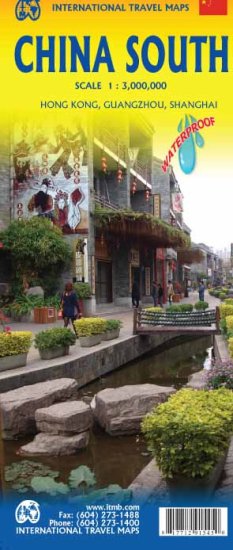
China South ITMB Map
Shanghai to Lhasa • Taiwan & Hainan Included • Double-Sided • Regional + City Detail
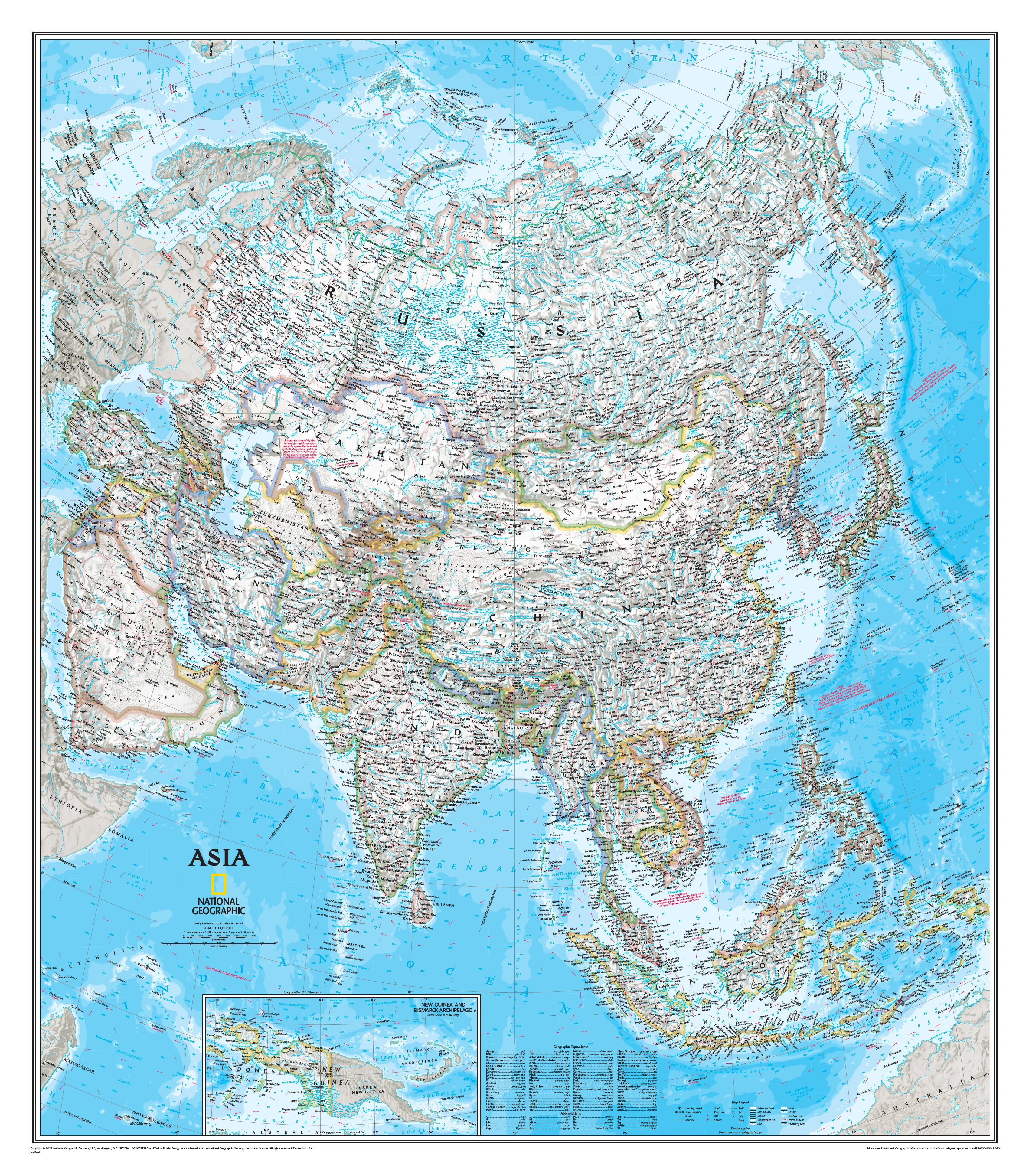
China is vast — and while a full-country map is useful, it simply can’t deliver meaningful detail across such an enormous landscape. The China South ITMB Map solves that problem by focusing on the most travelled, culturally rich, and geographically diverse half of the country — from the modern skyline of Shanghai, south through the coastal provinces, and westward across inland China to Lhasa in Tibet.
This is a map built for travellers who want clarity, context, and practical navigation across one of the most important regions in Asia.
🗺️ A Complete View of Southern China
This map provides extensive coverage of southern China, including:
- The eastern seaboard from Shanghai southward
- The Pearl River Delta — one of the world’s largest urban regions
- Inland provinces extending toward Yunnan and Tibet
- The Tibetan Plateau reaching to Lhasa
- Taiwan and Hainan Island, included for full geographic context
The inclusion of Tibet and Taiwan is purely geographic, ensuring travellers can understand how the wider region connects spatially — essential for route planning and regional awareness.
🧭 Two Maps in One — Regional Overview + City Detail
Side 1 — Southern China Regional Map (1:3,000,000)
The primary side presents a wide-area overview of southern China, ideal for planning long-distance travel.
It clearly shows:
- Major cities and regional centres
- National highways and road networks
- Railway corridors, including long-distance routes
- Airports, ports, and border crossings
- Terrain shading and elevation colouring
- Distances between key destinations
This side is perfect for understanding how the region fits together — whether you’re planning a multi-city journey, business travel, or an overland route.
Side 2 — Detailed Insets & Urban Mapping
The reverse side transforms the map into a highly practical travel tool, featuring detailed inset maps at much larger scales.
Included are:
- Hong Kong Region — approx. 1:60,000
- Central Hong Kong & Kowloon — approx. 1:10,000
- Guangzhou Region — approx. 1:850,000
- Guangzhou City — approx. 1:15,000
- Shanghai City — approx. 1:16,000
- Additional insets for Taiwan and Hainan
These city maps highlight major streets, transport routes, and key tourist areas, making them extremely useful for navigating dense urban environments.
🌏 A Region of Diversity & Contrast
Southern China is one of the most varied regions in the world, offering:
- Ultra-modern megacities like Shanghai and Guangzhou
- Subtropical coastlines and island destinations
- Karst landscapes around Guilin and Guangxi
- Historic trade routes and cultural centres
- High-altitude terrain approaching Tibet and the Himalaya
This diversity makes the map invaluable for travellers exploring multiple environments — from coastal cities to remote inland regions.
🚆 Built for Real Travel
ITMB maps are designed with independent travellers in mind, combining clear cartography with practical travel information.
Key features include:
- Roads by classification (highways, major roads, secondary routes)
- Extensive railway network mapping
- Airports and international gateways
- Ports and ferry connections
- Rivers, lakes, and terrain shading
- Points of interest and key destinations
- Latitude/longitude grid for navigation
Each side also includes a comprehensive place-name index, making it easy to locate towns, cities, and regions quickly.
🧳 Ideal for Multiple Travel Styles
This map is particularly useful for:
- Multi-city travellers exploring southern China
- Business travellers navigating major economic hubs
- Backpackers and independent explorers
- Educators and students studying regional geography
- Overland travellers planning long-distance routes
It bridges the gap between broad overview maps and highly localised city maps, giving you both in one format.
💪 Durable & Travel-Ready
Printed on waterproof, tear-resistant paper, this map is built to handle real travel conditions:
- Resistant to rain, humidity, and wear
- Durable under repeated folding
- Lightweight and easy to carry
- Reliable in environments where digital navigation may fail
📐 Specifications
| Feature | Detail |
|---|---|
| Title | China South |
| Publisher | ITMB Publishing |
| Scale | 1:3,000,000 (regional) |
| Insets | 1:10,000 – 1:850,000 (city & regional) |
| Format | Folded, double-sided map |
| Size | approx. 690 × 1000 mm |
| ISBN | 9781771291545 |
| Language | English |
| Material | Waterproof, tear-resistant travel paper |
🎯 Who It’s For
Perfect for:
- Travellers exploring southern China and major cities
- Business travellers visiting Shanghai, Guangzhou, Hong Kong
- Backpackers planning multi-region journeys
- Students and educators studying China’s geography
- Anyone wanting a more detailed alternative to a full-China map
✨ Why This Map Matters
China’s scale can be overwhelming — but this map brings clarity. By focusing on the southern half of the country, it delivers the detail needed to truly understand and navigate the region.
From the energy of Shanghai, through the trade corridors of Guangzhou, to the vast highlands leading toward Lhasa, the China South ITMB Map connects it all in one clear, practical format.
A smart, detailed, and travel-ready map for exploring one of the most important regions in Asia.
Original: $17.85
-65%$17.85
$6.25Product Information
Product Information
Shipping & Returns
Shipping & Returns
Description
Shanghai to Lhasa • Taiwan & Hainan Included • Double-Sided • Regional + City Detail
China is vast — and while a full-country map is useful, it simply can’t deliver meaningful detail across such an enormous landscape. The China South ITMB Map solves that problem by focusing on the most travelled, culturally rich, and geographically diverse half of the country — from the modern skyline of Shanghai, south through the coastal provinces, and westward across inland China to Lhasa in Tibet.
This is a map built for travellers who want clarity, context, and practical navigation across one of the most important regions in Asia.
🗺️ A Complete View of Southern China
This map provides extensive coverage of southern China, including:
- The eastern seaboard from Shanghai southward
- The Pearl River Delta — one of the world’s largest urban regions
- Inland provinces extending toward Yunnan and Tibet
- The Tibetan Plateau reaching to Lhasa
- Taiwan and Hainan Island, included for full geographic context
The inclusion of Tibet and Taiwan is purely geographic, ensuring travellers can understand how the wider region connects spatially — essential for route planning and regional awareness.
🧭 Two Maps in One — Regional Overview + City Detail
Side 1 — Southern China Regional Map (1:3,000,000)
The primary side presents a wide-area overview of southern China, ideal for planning long-distance travel.
It clearly shows:
- Major cities and regional centres
- National highways and road networks
- Railway corridors, including long-distance routes
- Airports, ports, and border crossings
- Terrain shading and elevation colouring
- Distances between key destinations
This side is perfect for understanding how the region fits together — whether you’re planning a multi-city journey, business travel, or an overland route.
Side 2 — Detailed Insets & Urban Mapping
The reverse side transforms the map into a highly practical travel tool, featuring detailed inset maps at much larger scales.
Included are:
- Hong Kong Region — approx. 1:60,000
- Central Hong Kong & Kowloon — approx. 1:10,000
- Guangzhou Region — approx. 1:850,000
- Guangzhou City — approx. 1:15,000
- Shanghai City — approx. 1:16,000
- Additional insets for Taiwan and Hainan
These city maps highlight major streets, transport routes, and key tourist areas, making them extremely useful for navigating dense urban environments.
🌏 A Region of Diversity & Contrast
Southern China is one of the most varied regions in the world, offering:
- Ultra-modern megacities like Shanghai and Guangzhou
- Subtropical coastlines and island destinations
- Karst landscapes around Guilin and Guangxi
- Historic trade routes and cultural centres
- High-altitude terrain approaching Tibet and the Himalaya
This diversity makes the map invaluable for travellers exploring multiple environments — from coastal cities to remote inland regions.
🚆 Built for Real Travel
ITMB maps are designed with independent travellers in mind, combining clear cartography with practical travel information.
Key features include:
- Roads by classification (highways, major roads, secondary routes)
- Extensive railway network mapping
- Airports and international gateways
- Ports and ferry connections
- Rivers, lakes, and terrain shading
- Points of interest and key destinations
- Latitude/longitude grid for navigation
Each side also includes a comprehensive place-name index, making it easy to locate towns, cities, and regions quickly.
🧳 Ideal for Multiple Travel Styles
This map is particularly useful for:
- Multi-city travellers exploring southern China
- Business travellers navigating major economic hubs
- Backpackers and independent explorers
- Educators and students studying regional geography
- Overland travellers planning long-distance routes
It bridges the gap between broad overview maps and highly localised city maps, giving you both in one format.
💪 Durable & Travel-Ready
Printed on waterproof, tear-resistant paper, this map is built to handle real travel conditions:
- Resistant to rain, humidity, and wear
- Durable under repeated folding
- Lightweight and easy to carry
- Reliable in environments where digital navigation may fail
📐 Specifications
| Feature | Detail |
|---|---|
| Title | China South |
| Publisher | ITMB Publishing |
| Scale | 1:3,000,000 (regional) |
| Insets | 1:10,000 – 1:850,000 (city & regional) |
| Format | Folded, double-sided map |
| Size | approx. 690 × 1000 mm |
| ISBN | 9781771291545 |
| Language | English |
| Material | Waterproof, tear-resistant travel paper |
🎯 Who It’s For
Perfect for:
- Travellers exploring southern China and major cities
- Business travellers visiting Shanghai, Guangzhou, Hong Kong
- Backpackers planning multi-region journeys
- Students and educators studying China’s geography
- Anyone wanting a more detailed alternative to a full-China map
✨ Why This Map Matters
China’s scale can be overwhelming — but this map brings clarity. By focusing on the southern half of the country, it delivers the detail needed to truly understand and navigate the region.
From the energy of Shanghai, through the trade corridors of Guangzhou, to the vast highlands leading toward Lhasa, the China South ITMB Map connects it all in one clear, practical format.
A smart, detailed, and travel-ready map for exploring one of the most important regions in Asia.