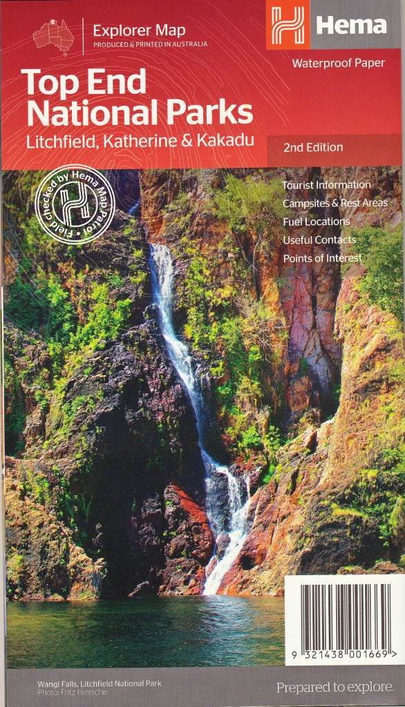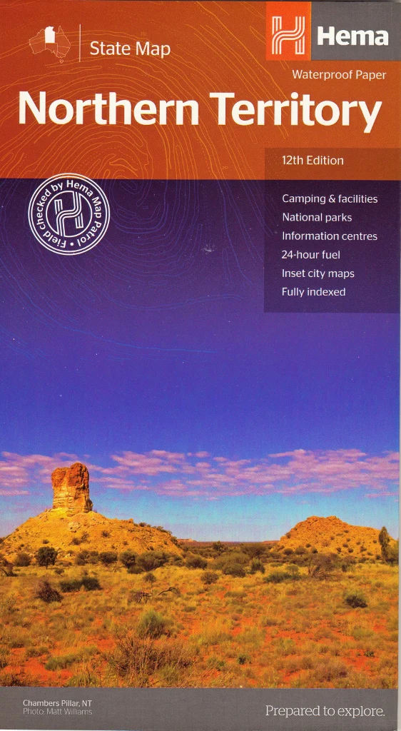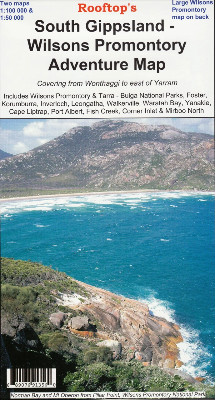
South Gippsland & Wilsons Promontory Adventure Map Rooftop
Scale: 1:100,000 Main Map | 1:50,000 Enlargement | Optional Lamination
Includes Wilsons Prom Forest Activities Map | GPS-Plotted Tracks | Field Checked
🌿 Explore Victoria's Wild Southern Coastline in Detail
Stretching from Cape Liptrap to Tarra-Bulga, this Adventure Map by Rooftop offers unrivalled topographic detail and on-the-ground accuracy across South Gippsland and Wilsons Promontory — one of Victoria’s most pristine and sought-after natural regions.
This is not just a road map. It’s a comprehensive adventure planning tool, built with field-verified walking tracks, 4WD routes, campsites, key features, and natural landmarks — perfect for hikers, campers, and 4WD explorers who want to go beyond the bitumen.
Whether you're navigating the walking tracks of Wilsons Promontory National Park, heading for a remote beach, or plotting a drive through Korumburra, Foster, or Inverloch, this map gives you the precision and confidence to explore more deeply.
📍 Coverage Includes:
-
🏞️ Wilsons Promontory & Tarra-Bulga National Parks
-
🌊 Corner Inlet, Waratah Bay & Port Albert
-
🚙 Foster, Leongatha, Korumburra, Inverloch, Wonthaggi, and Yarram
-
🥾 Walkerville, Cape Liptrap, Yanakie, Fish Creek, Mirboo North & Woodside
All roads, walking trails, and 4WD tracks have been GPS-plotted and many have been field-checked by the Rooftop team for accuracy. No guesswork here — just trails you can trust.
🔍 What’s Inside the Map?
🗺️ Main Map (Scale: 1:100,000)
-
Complete topographic layout of South Gippsland and the Prom
-
Park and reserve boundaries, rivers, creeks, campsites, and lookouts
-
Road classifications, town boundaries, and points of interest
🌲 Reverse Side: Wilsons Promontory Forest Activities Map (Scale: 1:50,000)
-
Field-checked walking tracks with detailed navigation notes
-
Overnight hike campsites and trail junctions clearly marked
-
Contour lines for elevation awareness and route planning
✨ Laminated Option for Reuse & Durability
Upgrade to a laminated edition for long-lasting use in the field or at home:
-
✅ Write-on/wipe-off surface – Use whiteboard markers to plot routes or notes
-
✅ Compatible with our Mark-It-Dots – Perfect for trip tracking or planning
-
✅ Tear- and water-resistant – Ideal for rugged use in wet or dusty conditions
-
🛠️ Note: Laminated versions are made by flattening the original folded map and sealing it between sheets of premium 80-micron gloss laminate. Minor fold lines may still be visible.
🧭 Perfect For:
-
🎒 Hikers & Bushwalkers – Plan single or multi-day hikes through Wilsons Prom
-
🚙 4WD Adventurers – Discover lesser-known tracks and access points across the region
-
🏕️ Campers & Caravaners – Locate the best spots to pitch a tent or park the van
-
📚 Teachers & Outdoor Educators – Use as a classroom tool or field resource
-
🗺️ Map Lovers & Collectors – A beautiful and functional addition to any collection
📏 Product Specifications
| Feature | Details |
|---|---|
| Map Title | South Gippsland & Wilsons Promontory Adventure Map |
| Publisher | Rooftop Maps |
| Map Scale | 1:100,000 (main) / 1:50,000 (Wilsons Prom enlargement) |
| Map Size | Approx. 700mm x 1000mm (variable by edition) |
| Track Detail | GPS-plotted & field-verified, includes 4WD, walking, and local roads |
| Material | Standard paper or laminated gloss (optional) |
| Finish (Laminated Option) | 80-micron double-sided gloss laminate – write-on/wipe-off |
| Printed In | Australia 🇦🇺 |
🛒 Add to Cart Today
If you're planning to hike, camp, or drive your way through Victoria’s spectacular southern wilderness, the South Gippsland & Wilsons Promontory Adventure Map is your essential guide. Field-tested, locally produced, and beautifully detailed.
Add to your cart now, and start preparing for your next outdoor escape — one map, many adventures.
Original: $9.98
-65%$9.98
$3.49Product Information
Product Information
Shipping & Returns
Shipping & Returns
Description
Scale: 1:100,000 Main Map | 1:50,000 Enlargement | Optional Lamination
Includes Wilsons Prom Forest Activities Map | GPS-Plotted Tracks | Field Checked
🌿 Explore Victoria's Wild Southern Coastline in Detail
Stretching from Cape Liptrap to Tarra-Bulga, this Adventure Map by Rooftop offers unrivalled topographic detail and on-the-ground accuracy across South Gippsland and Wilsons Promontory — one of Victoria’s most pristine and sought-after natural regions.
This is not just a road map. It’s a comprehensive adventure planning tool, built with field-verified walking tracks, 4WD routes, campsites, key features, and natural landmarks — perfect for hikers, campers, and 4WD explorers who want to go beyond the bitumen.
Whether you're navigating the walking tracks of Wilsons Promontory National Park, heading for a remote beach, or plotting a drive through Korumburra, Foster, or Inverloch, this map gives you the precision and confidence to explore more deeply.
📍 Coverage Includes:
-
🏞️ Wilsons Promontory & Tarra-Bulga National Parks
-
🌊 Corner Inlet, Waratah Bay & Port Albert
-
🚙 Foster, Leongatha, Korumburra, Inverloch, Wonthaggi, and Yarram
-
🥾 Walkerville, Cape Liptrap, Yanakie, Fish Creek, Mirboo North & Woodside
All roads, walking trails, and 4WD tracks have been GPS-plotted and many have been field-checked by the Rooftop team for accuracy. No guesswork here — just trails you can trust.
🔍 What’s Inside the Map?
🗺️ Main Map (Scale: 1:100,000)
-
Complete topographic layout of South Gippsland and the Prom
-
Park and reserve boundaries, rivers, creeks, campsites, and lookouts
-
Road classifications, town boundaries, and points of interest
🌲 Reverse Side: Wilsons Promontory Forest Activities Map (Scale: 1:50,000)
-
Field-checked walking tracks with detailed navigation notes
-
Overnight hike campsites and trail junctions clearly marked
-
Contour lines for elevation awareness and route planning
✨ Laminated Option for Reuse & Durability
Upgrade to a laminated edition for long-lasting use in the field or at home:
-
✅ Write-on/wipe-off surface – Use whiteboard markers to plot routes or notes
-
✅ Compatible with our Mark-It-Dots – Perfect for trip tracking or planning
-
✅ Tear- and water-resistant – Ideal for rugged use in wet or dusty conditions
-
🛠️ Note: Laminated versions are made by flattening the original folded map and sealing it between sheets of premium 80-micron gloss laminate. Minor fold lines may still be visible.
🧭 Perfect For:
-
🎒 Hikers & Bushwalkers – Plan single or multi-day hikes through Wilsons Prom
-
🚙 4WD Adventurers – Discover lesser-known tracks and access points across the region
-
🏕️ Campers & Caravaners – Locate the best spots to pitch a tent or park the van
-
📚 Teachers & Outdoor Educators – Use as a classroom tool or field resource
-
🗺️ Map Lovers & Collectors – A beautiful and functional addition to any collection
📏 Product Specifications
| Feature | Details |
|---|---|
| Map Title | South Gippsland & Wilsons Promontory Adventure Map |
| Publisher | Rooftop Maps |
| Map Scale | 1:100,000 (main) / 1:50,000 (Wilsons Prom enlargement) |
| Map Size | Approx. 700mm x 1000mm (variable by edition) |
| Track Detail | GPS-plotted & field-verified, includes 4WD, walking, and local roads |
| Material | Standard paper or laminated gloss (optional) |
| Finish (Laminated Option) | 80-micron double-sided gloss laminate – write-on/wipe-off |
| Printed In | Australia 🇦🇺 |
🛒 Add to Cart Today
If you're planning to hike, camp, or drive your way through Victoria’s spectacular southern wilderness, the South Gippsland & Wilsons Promontory Adventure Map is your essential guide. Field-tested, locally produced, and beautifully detailed.
Add to your cart now, and start preparing for your next outdoor escape — one map, many adventures.