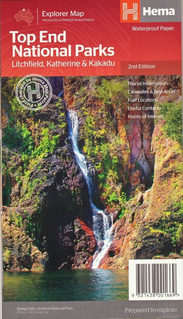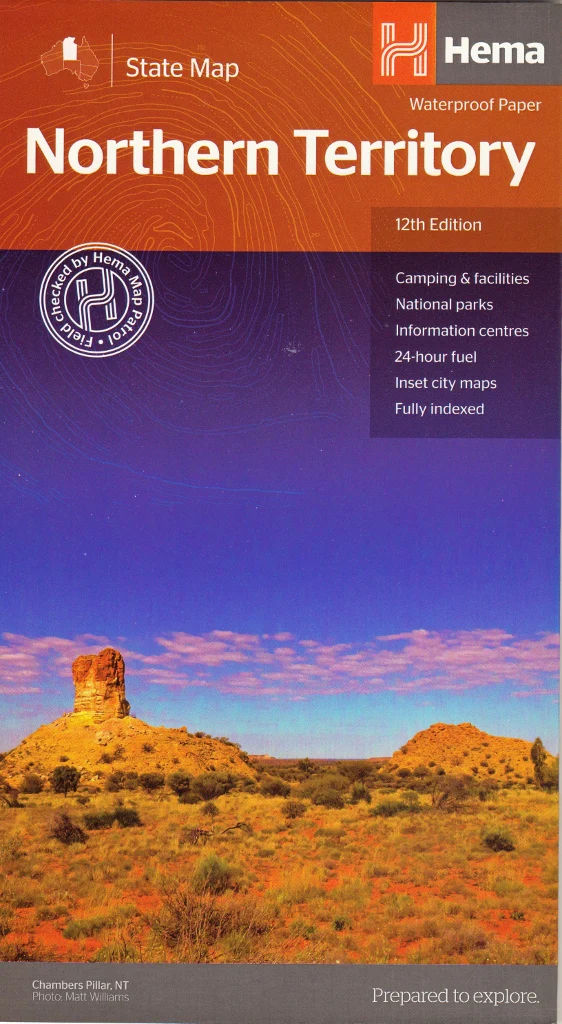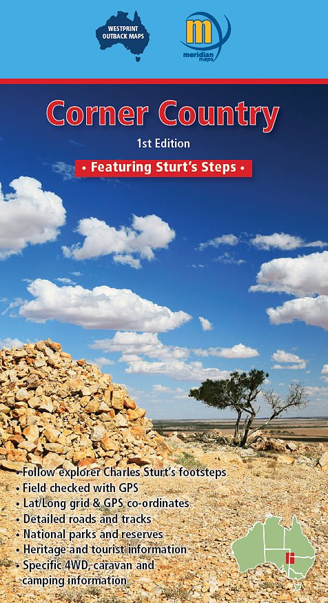
Corner Country Map Westprint
Sturt’s Steps Route • NSW / QLD / SA Outback • Scale 1:900,000
Step into one of Australia’s most iconic remote landscapes with the Corner Country Map by Westprint — a purpose-built touring and navigation map designed for serious outback travellers. Covering the vast region where New South Wales, Queensland, and South Australia meet, this map is your essential companion for exploring the legendary Corner Country.
From red desert dunes and gibber plains to historic settlements and remote river systems, this map brings together navigation, history, and practical touring detail in a single, highly usable format. At a scale of 1:900,000, it provides a clear regional overview while retaining the detail needed for real-world travel planning and on-the-ground navigation.
🗺️ Discover the Corner Country
The Corner Country is one of Australia’s great outback destinations — a region defined by space, isolation, and history. It is where three states meet, and where travellers can experience:
- Vast arid landscapes and desert plains
- Ancient mesa formations and rugged ranges
- Seasonal river systems such as Cooper Creek
- Remote pastoral stations and historic settlements
- Some of the most expansive skies in Australia
This is a place where distances are long, roads are often unsealed, and preparation matters — making a reliable map essential.
🧭 Follow the Historic Sturt’s Steps Route
A standout feature of this map is the inclusion of the Sturt’s Steps Touring Route, tracing the journey of explorer Captain Charles Sturt during his 1844–45 expedition into Australia’s interior.
This route transforms the map into a narrative journey, highlighting:
- Key exploration sites
- Historic camps and landmarks
- Interpretive stops along the route
- Connections between major outback destinations
It allows travellers to retrace one of Australia’s most important exploration stories while navigating the modern outback.
🚙 Built for 4WD, Touring & Remote Travel
This is not a general-purpose road map — it is designed specifically for outback travel, where accurate information and clarity are critical.
Key navigation features include:
- Detailed road and track mapping — from highways to remote 4WD routes
- Clearly marked station tracks and minor roads
- Distances and route connections between key locations
- National parks, reserves, and conservation areas
- Fuel stops, roadhouses, and remote services
- Latitude and longitude grid for GPS compatibility
The mapping has been field-checked and verified, providing confidence when travelling in areas where signage can be limited and mobile reception unreliable.
🏕️ Practical Touring Information
Beyond navigation, the map includes valuable information to help travellers plan and travel safely:
- Camping areas and bush camps
- Caravan-friendly routes and access points
- National park entry points and facilities
- Points of interest and scenic highlights
- Historical notes and local insights
Whether you’re planning a short outback trip or a longer expedition, this map provides the context needed to travel confidently.
🌄 Key Locations & Highlights
The map covers many of the Corner Country’s most important destinations, including:
- Tibooburra & Milparinka — historic gold rush towns
- Broken Hill — iconic outback mining city
- Innamincka — gateway to Cooper Creek and the Strzelecki Desert
- Sturt National Park — classic desert landscapes
- Mutawintji National Park — Aboriginal rock art and rugged ranges
These locations combine natural beauty, history, and cultural significance — making the region one of Australia’s most rewarding to explore.
🌏 Why This Map Stands Out
- Specifically designed for remote outback touring
- Integrates navigation with historical storytelling
- Highlights a major exploration route (Sturt’s Steps)
- Ideal for 4WD, caravan, and adventure travel
- Reliable in areas with little or no digital coverage
- Created by Westprint, one of Australia’s most trusted outback map publishers
📐 Specifications
| Feature | Detail |
|---|---|
| Title | Corner Country — Featuring Sturt’s Steps |
| Publisher | Westprint |
| Scale | 1:900,000 |
| Format | Folded touring map |
| Unfolded Size | approx. 500 × 685 mm |
| Folded Size | approx. 250 × 140 mm |
| ISBN | 9781920958541 |
| Mapping | Field-checked with GPS |
| Coverage | Outback NSW, QLD & SA border region |
🎯 Who It’s For
Perfect for:
- 4WD adventurers heading into the outback
- Caravan and touring travellers
- Outback explorers and photographers
- History enthusiasts following Sturt’s expedition
- Anyone planning a Corner Country journey
📦 Availability
This map is an essential piece of kit for anyone travelling into Australia’s remote interior.
🤝 Our Commitment
At Mapworld, we understand that outback travel demands reliable, field-proven mapping. That’s why we stock trusted publishers like Westprint — maps designed not just to inform, but to support real journeys across Australia’s most remote regions.
Plan with confidence. Travel further. Experience the real outback.
The Corner Country Westprint Map is your trusted guide to one of Australia’s most unforgettable landscapes.
Original: $9.27
-65%$9.27
$3.24Product Information
Product Information
Shipping & Returns
Shipping & Returns
Description
Sturt’s Steps Route • NSW / QLD / SA Outback • Scale 1:900,000
Step into one of Australia’s most iconic remote landscapes with the Corner Country Map by Westprint — a purpose-built touring and navigation map designed for serious outback travellers. Covering the vast region where New South Wales, Queensland, and South Australia meet, this map is your essential companion for exploring the legendary Corner Country.
From red desert dunes and gibber plains to historic settlements and remote river systems, this map brings together navigation, history, and practical touring detail in a single, highly usable format. At a scale of 1:900,000, it provides a clear regional overview while retaining the detail needed for real-world travel planning and on-the-ground navigation.
🗺️ Discover the Corner Country
The Corner Country is one of Australia’s great outback destinations — a region defined by space, isolation, and history. It is where three states meet, and where travellers can experience:
- Vast arid landscapes and desert plains
- Ancient mesa formations and rugged ranges
- Seasonal river systems such as Cooper Creek
- Remote pastoral stations and historic settlements
- Some of the most expansive skies in Australia
This is a place where distances are long, roads are often unsealed, and preparation matters — making a reliable map essential.
🧭 Follow the Historic Sturt’s Steps Route
A standout feature of this map is the inclusion of the Sturt’s Steps Touring Route, tracing the journey of explorer Captain Charles Sturt during his 1844–45 expedition into Australia’s interior.
This route transforms the map into a narrative journey, highlighting:
- Key exploration sites
- Historic camps and landmarks
- Interpretive stops along the route
- Connections between major outback destinations
It allows travellers to retrace one of Australia’s most important exploration stories while navigating the modern outback.
🚙 Built for 4WD, Touring & Remote Travel
This is not a general-purpose road map — it is designed specifically for outback travel, where accurate information and clarity are critical.
Key navigation features include:
- Detailed road and track mapping — from highways to remote 4WD routes
- Clearly marked station tracks and minor roads
- Distances and route connections between key locations
- National parks, reserves, and conservation areas
- Fuel stops, roadhouses, and remote services
- Latitude and longitude grid for GPS compatibility
The mapping has been field-checked and verified, providing confidence when travelling in areas where signage can be limited and mobile reception unreliable.
🏕️ Practical Touring Information
Beyond navigation, the map includes valuable information to help travellers plan and travel safely:
- Camping areas and bush camps
- Caravan-friendly routes and access points
- National park entry points and facilities
- Points of interest and scenic highlights
- Historical notes and local insights
Whether you’re planning a short outback trip or a longer expedition, this map provides the context needed to travel confidently.
🌄 Key Locations & Highlights
The map covers many of the Corner Country’s most important destinations, including:
- Tibooburra & Milparinka — historic gold rush towns
- Broken Hill — iconic outback mining city
- Innamincka — gateway to Cooper Creek and the Strzelecki Desert
- Sturt National Park — classic desert landscapes
- Mutawintji National Park — Aboriginal rock art and rugged ranges
These locations combine natural beauty, history, and cultural significance — making the region one of Australia’s most rewarding to explore.
🌏 Why This Map Stands Out
- Specifically designed for remote outback touring
- Integrates navigation with historical storytelling
- Highlights a major exploration route (Sturt’s Steps)
- Ideal for 4WD, caravan, and adventure travel
- Reliable in areas with little or no digital coverage
- Created by Westprint, one of Australia’s most trusted outback map publishers
📐 Specifications
| Feature | Detail |
|---|---|
| Title | Corner Country — Featuring Sturt’s Steps |
| Publisher | Westprint |
| Scale | 1:900,000 |
| Format | Folded touring map |
| Unfolded Size | approx. 500 × 685 mm |
| Folded Size | approx. 250 × 140 mm |
| ISBN | 9781920958541 |
| Mapping | Field-checked with GPS |
| Coverage | Outback NSW, QLD & SA border region |
🎯 Who It’s For
Perfect for:
- 4WD adventurers heading into the outback
- Caravan and touring travellers
- Outback explorers and photographers
- History enthusiasts following Sturt’s expedition
- Anyone planning a Corner Country journey
📦 Availability
This map is an essential piece of kit for anyone travelling into Australia’s remote interior.
🤝 Our Commitment
At Mapworld, we understand that outback travel demands reliable, field-proven mapping. That’s why we stock trusted publishers like Westprint — maps designed not just to inform, but to support real journeys across Australia’s most remote regions.
Plan with confidence. Travel further. Experience the real outback.
The Corner Country Westprint Map is your trusted guide to one of Australia’s most unforgettable landscapes.