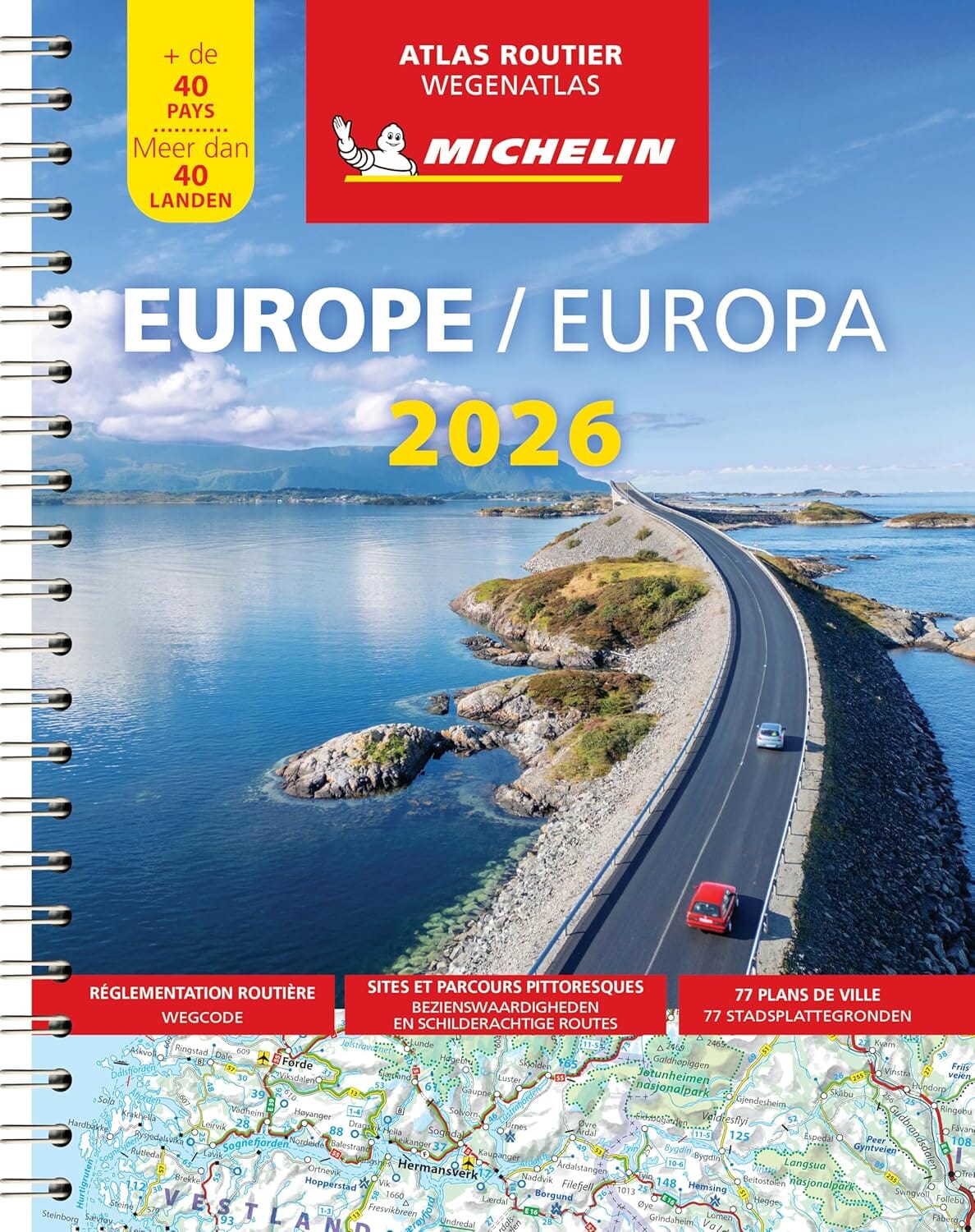
Europe Road Atlas Michelin
Format: A4 | Binding: Spiral-bound | Pages: 355
Covers 40+ Countries | Scenic Routes & Sights Highlighted | Trusted by Travellers Since 1905
🚗 Wherever You Go in Europe – Michelin Leads the Way
Whether you’re navigating the Alpine switchbacks of Austria, cruising the vineyards of southern France, or plotting a scenic detour through the hills of Tuscany, there’s one travel companion you can trust above all: Michelin’s Road Atlas of Europe.
The Michelin Europe Road Atlas 2026 is more than a book of maps — it’s a carefully crafted guide for those who prefer freedom over GPS, backroads over bypasses, and timeless discovery over turn-by-turn instructions. With beautifully rendered, easy-to-read cartography across 355 full-colour pages, this atlas covers over 40 European countries, each one treated with Michelin’s hallmark clarity, detail, and precision.
Whether you're planning from your kitchen table or flipping pages at a roadside café in Slovenia, this atlas brings the entire continent into view.
🌐 Coverage You Can Count On – Over 40 Countries in One Volume
The Michelin 2026 edition includes detailed maps of:
-
🇫🇷 France
-
🇮🇹 Italy
-
🇩🇪 Germany
-
🇪🇸 Spain & 🇵🇹 Portugal
-
🇬🇧 United Kingdom & 🇮🇪 Ireland
-
🇵🇱 Poland & 🇨🇿 Czech Republic
-
🇭🇺 Hungary, 🇷🇴 Romania, 🇧🇬 Bulgaria
-
🇳🇴 Norway, 🇸🇪 Sweden, 🇫🇮 Finland, 🇩🇰 Denmark
-
🇬🇷 Greece, 🇭🇷 Croatia, 🇸🇮 Slovenia
-
🇧🇪 Belgium, 🇳🇱 Netherlands, 🇨🇭 Switzerland, 🇦🇹 Austria
-
🇱🇹 Baltic States, 🇺🇦 Ukraine, and beyond
✔️ Includes all 25 EU Member States
✔️ Also covers the UK, Switzerland, Norway, and non-EU Balkan nations
🗺️ Designed for Drivers – Every Feature Built with You in Mind
✅ Clear, Colour-Coded Road Mapping
Roads are distinguished by category and hierarchy — motorways, national highways, regional roads, and scenic routes — with clear legends and intuitive colour schemes.
🗂️ Comprehensive Place Name Index
Quickly look up thousands of cities, towns, and villages — with page references and map coordinates for fast location finding.
🗺️ 72 City & Area Maps
Includes detailed insets for major urban areas, border zones, ports, and ferry terminals. Navigate entry points, bypasses, and urban peripheries with confidence.
📏 Distance Chart
Plan your travel time and fuel stops using the included inter-city distance table, calculated to help you estimate journey lengths at a glance.
🏞️ Tourist Sights & Scenic Routes Highlighted
Michelin’s famed Green Guide-worthy points of interest and scenic drives are marked with custom icons and colour-coded highlights. Find hidden castles, panoramic viewpoints, cultural hotspots, and the best roads for leisure driving.
Built for Real Travel – Spiral-Bound for Maximum Usability
With 355 full-colour pages, a conventional paperback would struggle to stay open. But Michelin has thought of that.
-
🔄 Spiral binding ensures the atlas lies completely flat, whether open to a single map or a cross-border overview.
-
🧳 Fits easily into a glove box, backpack, or camper van shelf
-
🗺️ Perfect for table-top route planning before departure — or on-the-go flipping mid-journey
This is a book designed to work as hard as you do when travelling — no creased spines, awkward page-turning, or frustrating foldouts.
Who It’s For – And Why It Belongs With You
Vanlifers & Overlanders
Stay in control when signal drops out. No more relying on patchy data or glitchy apps. With this atlas, your backup is always ready — no battery required.
Self-Drive Holidaymakers
Whether you’re leasing a car for a week or road-tripping across Europe for three months, this atlas helps you avoid toll roads, discover scenic alternatives, and actually see the country you’re driving through.
Teachers & Students
Perfect for classrooms, homeschoolers, or anyone studying European geography. Use it as a teaching tool to understand borders, distances, and natural geography.
Tour Operators & Business Travellers
Ideal for visualising travel packages, logistical routes, or managing multi-country operations. When your work takes you far afield, Michelin keeps you oriented.
📖 Product Specifications
| Feature | Details |
|---|---|
| Title | Michelin Europe Road Atlas 2026 |
| Format | A4 (210mm x 297mm) |
| Binding | Spiral-bound paperback |
| Page Count | 355 pages |
| Scale | Multiple scales depending on region (1:200,000 to 1:3,000,000) |
| Regions Covered | 40+ countries across Europe, including all EU member states |
| Special Features | Scenic route highlights, tourist attractions, distance chart, 72 city maps |
| Language | Multilingual (key legends in multiple languages including English & French) |
| Publisher | Michelin Travel Publications |
| Edition | 2025 |
📦 What You’ll Receive
-
📘 1 x Michelin Europe Road Atlas 2026 – A4, spiral-bound, brand new
-
✨ Delivered in protective packaging to ensure the cover and binding remain pristine in transit
-
📅 Latest edition – freshly updated with the most current roads and EU border updates
🌍 Why Michelin?
Since 1905, Michelin has been guiding travellers across continents. Their commitment to clear cartography, up-to-date accuracy, and traveller-focused content is why they're trusted by millions of drivers, tour companies, and seasoned explorers.
With this atlas, you're not just buying a map.
You're unlocking the road.
Ready to Explore Europe the Michelin Way?
Don't let poor navigation ruin a perfect trip. Whether you're planning a drive through Provence, a wine tour of northern Spain, or a ferry-to-fjord journey through Scandinavia, the Michelin Europe Road Atlas 2026 ensures you're always on the right path — with the best views, the most scenic routes, and the confidence to explore further.
👉 Add to Cart Now and take the whole of Europe on your next adventure.
Original: $39.31
-65%$39.31
$13.76Product Information
Product Information
Shipping & Returns
Shipping & Returns
Description
Format: A4 | Binding: Spiral-bound | Pages: 355
Covers 40+ Countries | Scenic Routes & Sights Highlighted | Trusted by Travellers Since 1905
🚗 Wherever You Go in Europe – Michelin Leads the Way
Whether you’re navigating the Alpine switchbacks of Austria, cruising the vineyards of southern France, or plotting a scenic detour through the hills of Tuscany, there’s one travel companion you can trust above all: Michelin’s Road Atlas of Europe.
The Michelin Europe Road Atlas 2026 is more than a book of maps — it’s a carefully crafted guide for those who prefer freedom over GPS, backroads over bypasses, and timeless discovery over turn-by-turn instructions. With beautifully rendered, easy-to-read cartography across 355 full-colour pages, this atlas covers over 40 European countries, each one treated with Michelin’s hallmark clarity, detail, and precision.
Whether you're planning from your kitchen table or flipping pages at a roadside café in Slovenia, this atlas brings the entire continent into view.
🌐 Coverage You Can Count On – Over 40 Countries in One Volume
The Michelin 2026 edition includes detailed maps of:
-
🇫🇷 France
-
🇮🇹 Italy
-
🇩🇪 Germany
-
🇪🇸 Spain & 🇵🇹 Portugal
-
🇬🇧 United Kingdom & 🇮🇪 Ireland
-
🇵🇱 Poland & 🇨🇿 Czech Republic
-
🇭🇺 Hungary, 🇷🇴 Romania, 🇧🇬 Bulgaria
-
🇳🇴 Norway, 🇸🇪 Sweden, 🇫🇮 Finland, 🇩🇰 Denmark
-
🇬🇷 Greece, 🇭🇷 Croatia, 🇸🇮 Slovenia
-
🇧🇪 Belgium, 🇳🇱 Netherlands, 🇨🇭 Switzerland, 🇦🇹 Austria
-
🇱🇹 Baltic States, 🇺🇦 Ukraine, and beyond
✔️ Includes all 25 EU Member States
✔️ Also covers the UK, Switzerland, Norway, and non-EU Balkan nations
🗺️ Designed for Drivers – Every Feature Built with You in Mind
✅ Clear, Colour-Coded Road Mapping
Roads are distinguished by category and hierarchy — motorways, national highways, regional roads, and scenic routes — with clear legends and intuitive colour schemes.
🗂️ Comprehensive Place Name Index
Quickly look up thousands of cities, towns, and villages — with page references and map coordinates for fast location finding.
🗺️ 72 City & Area Maps
Includes detailed insets for major urban areas, border zones, ports, and ferry terminals. Navigate entry points, bypasses, and urban peripheries with confidence.
📏 Distance Chart
Plan your travel time and fuel stops using the included inter-city distance table, calculated to help you estimate journey lengths at a glance.
🏞️ Tourist Sights & Scenic Routes Highlighted
Michelin’s famed Green Guide-worthy points of interest and scenic drives are marked with custom icons and colour-coded highlights. Find hidden castles, panoramic viewpoints, cultural hotspots, and the best roads for leisure driving.
Built for Real Travel – Spiral-Bound for Maximum Usability
With 355 full-colour pages, a conventional paperback would struggle to stay open. But Michelin has thought of that.
-
🔄 Spiral binding ensures the atlas lies completely flat, whether open to a single map or a cross-border overview.
-
🧳 Fits easily into a glove box, backpack, or camper van shelf
-
🗺️ Perfect for table-top route planning before departure — or on-the-go flipping mid-journey
This is a book designed to work as hard as you do when travelling — no creased spines, awkward page-turning, or frustrating foldouts.
Who It’s For – And Why It Belongs With You
Vanlifers & Overlanders
Stay in control when signal drops out. No more relying on patchy data or glitchy apps. With this atlas, your backup is always ready — no battery required.
Self-Drive Holidaymakers
Whether you’re leasing a car for a week or road-tripping across Europe for three months, this atlas helps you avoid toll roads, discover scenic alternatives, and actually see the country you’re driving through.
Teachers & Students
Perfect for classrooms, homeschoolers, or anyone studying European geography. Use it as a teaching tool to understand borders, distances, and natural geography.
Tour Operators & Business Travellers
Ideal for visualising travel packages, logistical routes, or managing multi-country operations. When your work takes you far afield, Michelin keeps you oriented.
📖 Product Specifications
| Feature | Details |
|---|---|
| Title | Michelin Europe Road Atlas 2026 |
| Format | A4 (210mm x 297mm) |
| Binding | Spiral-bound paperback |
| Page Count | 355 pages |
| Scale | Multiple scales depending on region (1:200,000 to 1:3,000,000) |
| Regions Covered | 40+ countries across Europe, including all EU member states |
| Special Features | Scenic route highlights, tourist attractions, distance chart, 72 city maps |
| Language | Multilingual (key legends in multiple languages including English & French) |
| Publisher | Michelin Travel Publications |
| Edition | 2025 |
📦 What You’ll Receive
-
📘 1 x Michelin Europe Road Atlas 2026 – A4, spiral-bound, brand new
-
✨ Delivered in protective packaging to ensure the cover and binding remain pristine in transit
-
📅 Latest edition – freshly updated with the most current roads and EU border updates
🌍 Why Michelin?
Since 1905, Michelin has been guiding travellers across continents. Their commitment to clear cartography, up-to-date accuracy, and traveller-focused content is why they're trusted by millions of drivers, tour companies, and seasoned explorers.
With this atlas, you're not just buying a map.
You're unlocking the road.
Ready to Explore Europe the Michelin Way?
Don't let poor navigation ruin a perfect trip. Whether you're planning a drive through Provence, a wine tour of northern Spain, or a ferry-to-fjord journey through Scandinavia, the Michelin Europe Road Atlas 2026 ensures you're always on the right path — with the best views, the most scenic routes, and the confidence to explore further.
👉 Add to Cart Now and take the whole of Europe on your next adventure.


