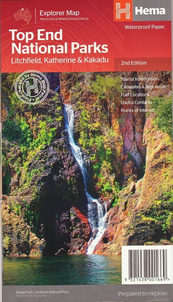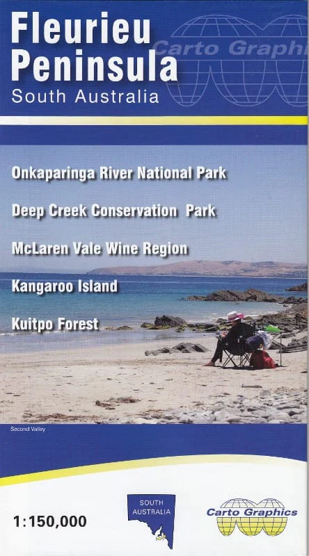
Fleurieu Peninsula & Kangaroo Island Carto Graphics Map
🗺️ Fleurieu Peninsula & Kangaroo Island Regional Map
Carto Graphics Australia | Includes Inset Maps | Optional Lamination
Explore one of South Australia’s most scenic and diverse regions with the Fleurieu Peninsula & Kangaroo Island Regional Map by Cartographics. This easy-to-read and highly detailed map spans from Adelaide to Cape Jervis, then across the Coorong region to Meningie and Tailem Bend, making it ideal for planning road trips, wine tasting weekends, hiking getaways, and coastal adventures.
Whether you're following the vines of McLaren Vale, heading for the rugged trails of Deep Creek Conservation Park, or crossing to Kangaroo Island, this map provides clear and accurate information to help guide your journey.
🌿 Key Map Features:
-
Main Regional Coverage:
Covers South Australia’s Fleurieu Peninsula in detail, from Adelaide south to Cape Jervis, east to Meningie and Tailem Bend, and the full length of the Coorong. -
Inset Maps on Reverse Side:
-
🍇 McLaren Vale Wine Region – 1:50,000
-
🌳 Kuitpo Forest Reserve – 1:50,000
-
🌿 Deep Creek Conservation Park – 1:50,000
-
🏝 Kangaroo Island – 1:300,000
-
-
🛣️ Road and Track Detail
Major highways, backroads, national parks, reserves, and conservation areas clearly marked. -
🏕️ Tourist Information
Points of interest, townships, ferry routes, campgrounds, wineries, and more.
🧭 Perfect For:
-
Wine region day trips
-
Hiking and nature exploration
-
Kangaroo Island touring
-
Caravan and camping holidays
-
Regional trip planning
📌 Lamination Option (Optional Upgrade)
Want to make your map more durable and interactive?
We offer an optional lamination upgrade, using high-quality 80-micron gloss laminate. This:
-
Allows you to write on it with whiteboard markers
-
Lets you apply and remove map dots for tracking locations
-
Makes the map highly durable, water-resistant, and tear-resistant
-
Perfect for caravan walls, travel planning tables, or classrooms
Note: To laminate this map, we flatten the folded version and encapsulate it in laminate. Slight fold lines will still be visible.
📐 Map Specifications:
| Feature | Details |
|---|---|
| Map Title | Fleurieu Peninsula & Kangaroo Island Map |
| Publisher | Carto Graphics Australia |
| Main Scale | 1:150,000 |
| Inset Scales | 1:50,000 & 1:300,000 |
| Size | 1000 mm (W) x 690 mm (H) |
| Format | Folded paper map (laminated optional) |
Trace wine routes, explore ancient coastlines, and get to know South Australia's most beloved destinations – all from one expertly designed map.
📦 Order today and make it part of your next journey through the Fleurieu and beyond.
Original: $10.70
-65%$10.70
$3.74Product Information
Product Information
Shipping & Returns
Shipping & Returns
Description
🗺️ Fleurieu Peninsula & Kangaroo Island Regional Map
Carto Graphics Australia | Includes Inset Maps | Optional Lamination
Explore one of South Australia’s most scenic and diverse regions with the Fleurieu Peninsula & Kangaroo Island Regional Map by Cartographics. This easy-to-read and highly detailed map spans from Adelaide to Cape Jervis, then across the Coorong region to Meningie and Tailem Bend, making it ideal for planning road trips, wine tasting weekends, hiking getaways, and coastal adventures.
Whether you're following the vines of McLaren Vale, heading for the rugged trails of Deep Creek Conservation Park, or crossing to Kangaroo Island, this map provides clear and accurate information to help guide your journey.
🌿 Key Map Features:
-
Main Regional Coverage:
Covers South Australia’s Fleurieu Peninsula in detail, from Adelaide south to Cape Jervis, east to Meningie and Tailem Bend, and the full length of the Coorong. -
Inset Maps on Reverse Side:
-
🍇 McLaren Vale Wine Region – 1:50,000
-
🌳 Kuitpo Forest Reserve – 1:50,000
-
🌿 Deep Creek Conservation Park – 1:50,000
-
🏝 Kangaroo Island – 1:300,000
-
-
🛣️ Road and Track Detail
Major highways, backroads, national parks, reserves, and conservation areas clearly marked. -
🏕️ Tourist Information
Points of interest, townships, ferry routes, campgrounds, wineries, and more.
🧭 Perfect For:
-
Wine region day trips
-
Hiking and nature exploration
-
Kangaroo Island touring
-
Caravan and camping holidays
-
Regional trip planning
📌 Lamination Option (Optional Upgrade)
Want to make your map more durable and interactive?
We offer an optional lamination upgrade, using high-quality 80-micron gloss laminate. This:
-
Allows you to write on it with whiteboard markers
-
Lets you apply and remove map dots for tracking locations
-
Makes the map highly durable, water-resistant, and tear-resistant
-
Perfect for caravan walls, travel planning tables, or classrooms
Note: To laminate this map, we flatten the folded version and encapsulate it in laminate. Slight fold lines will still be visible.
📐 Map Specifications:
| Feature | Details |
|---|---|
| Map Title | Fleurieu Peninsula & Kangaroo Island Map |
| Publisher | Carto Graphics Australia |
| Main Scale | 1:150,000 |
| Inset Scales | 1:50,000 & 1:300,000 |
| Size | 1000 mm (W) x 690 mm (H) |
| Format | Folded paper map (laminated optional) |
Trace wine routes, explore ancient coastlines, and get to know South Australia's most beloved destinations – all from one expertly designed map.
📦 Order today and make it part of your next journey through the Fleurieu and beyond.