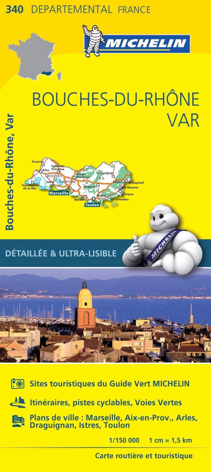
Bouches-du-Rhone Var Michelin Map 340
Highly Detailed Touring Map | Fully Indexed | Scale 1:150,000
Scale: 1:150,000
Map Size: 1200 mm (W) x 1000 mm (H)
Format: Folded Paper Map
Publisher: Michelin
Availability: Order on Demand – Please allow 7–10 working days for delivery
🗺️ Discover the Authentic South of France
Explore every backroad, vineyard, and medieval village with Michelin’s Bouches - du-Rhone Regional Map (No. 340) – the most detailed paper map available for this exquisite corner of southern France.
Spanning from the dramatic gorges of the Cévennes to the sun-drenched shores of the Mediterranean, this map is your key to unlocking all the treasures of the Bouches-du-Rhone département. Whether you’re navigating the back lanes of wine country or seeking out Roman ruins and coastal hideaways, this map ensures nothing is missed.
🔍 Precision Cartography from Michelin
Michelin maps are renowned for their clarity, accuracy, and ease of use—and this regional edition is no exception. With its generous 1:150,000 scale, the map shows:
-
All minor roads and backcountry routes
-
Local villages, hamlets, and communes
-
Tourist attractions and heritage sites
-
Topographical features and natural parks
-
Road numbers, distances, and altitudes
It also includes a comprehensive place name index, so you'll never waste time searching, and a distance chart to help you plan your daily route or road trip itinerary with confidence.
📌 Ideal for Self-Drive Holidays & Slow Travel
If you're planning a self-guided holiday through Languedoc-Roussillon, this map is essential. Its unmatched detail makes it perfect for:
-
Cyclists and hikers wanting to explore off-the-beaten-path
-
Wine and food lovers tracing vineyard routes and market towns
-
History enthusiasts visiting Roman aqueducts and medieval villages
-
Families navigating scenic drives along rivers, gorges, and coastlines
Unlike digital maps, Michelin’s printed edition never drops signal—and always offers a broader view of the region.
📦 Important Delivery Information
Please note:
This item is an order-on-demand map.
Allow 7–10 working days for delivery from the time your order is placed.
✅ Features at a Glance
| Feature | Description |
|---|---|
| Scale | 1:150,000 |
| Size | 1200 mm x 1000 mm |
| Coverage | Bouches-du-Rhone, Var départements, Southern France |
| Road Detail | All minor roads, villages, and scenic routes |
| Tourism Info | Points of interest, natural parks, heritage sites |
| Index & Distance Chart | Yes – fully indexed with distance guide |
| Format | Folded paper map |
| Brand | Michelin |
| Delivery | Print-on-demand – allow 7–10 working days |
🧭 Your trusted companion for discovering the real South of France
Order the Michelin Bouches-du-Rhone Map today and get ready to travel
Original: $17.85
-65%$17.85
$6.25Product Information
Product Information
Shipping & Returns
Shipping & Returns
Description
Highly Detailed Touring Map | Fully Indexed | Scale 1:150,000
Scale: 1:150,000
Map Size: 1200 mm (W) x 1000 mm (H)
Format: Folded Paper Map
Publisher: Michelin
Availability: Order on Demand – Please allow 7–10 working days for delivery
🗺️ Discover the Authentic South of France
Explore every backroad, vineyard, and medieval village with Michelin’s Bouches - du-Rhone Regional Map (No. 340) – the most detailed paper map available for this exquisite corner of southern France.
Spanning from the dramatic gorges of the Cévennes to the sun-drenched shores of the Mediterranean, this map is your key to unlocking all the treasures of the Bouches-du-Rhone département. Whether you’re navigating the back lanes of wine country or seeking out Roman ruins and coastal hideaways, this map ensures nothing is missed.
🔍 Precision Cartography from Michelin
Michelin maps are renowned for their clarity, accuracy, and ease of use—and this regional edition is no exception. With its generous 1:150,000 scale, the map shows:
-
All minor roads and backcountry routes
-
Local villages, hamlets, and communes
-
Tourist attractions and heritage sites
-
Topographical features and natural parks
-
Road numbers, distances, and altitudes
It also includes a comprehensive place name index, so you'll never waste time searching, and a distance chart to help you plan your daily route or road trip itinerary with confidence.
📌 Ideal for Self-Drive Holidays & Slow Travel
If you're planning a self-guided holiday through Languedoc-Roussillon, this map is essential. Its unmatched detail makes it perfect for:
-
Cyclists and hikers wanting to explore off-the-beaten-path
-
Wine and food lovers tracing vineyard routes and market towns
-
History enthusiasts visiting Roman aqueducts and medieval villages
-
Families navigating scenic drives along rivers, gorges, and coastlines
Unlike digital maps, Michelin’s printed edition never drops signal—and always offers a broader view of the region.
📦 Important Delivery Information
Please note:
This item is an order-on-demand map.
Allow 7–10 working days for delivery from the time your order is placed.
✅ Features at a Glance
| Feature | Description |
|---|---|
| Scale | 1:150,000 |
| Size | 1200 mm x 1000 mm |
| Coverage | Bouches-du-Rhone, Var départements, Southern France |
| Road Detail | All minor roads, villages, and scenic routes |
| Tourism Info | Points of interest, natural parks, heritage sites |
| Index & Distance Chart | Yes – fully indexed with distance guide |
| Format | Folded paper map |
| Brand | Michelin |
| Delivery | Print-on-demand – allow 7–10 working days |
🧭 Your trusted companion for discovering the real South of France
Order the Michelin Bouches-du-Rhone Map today and get ready to travel


