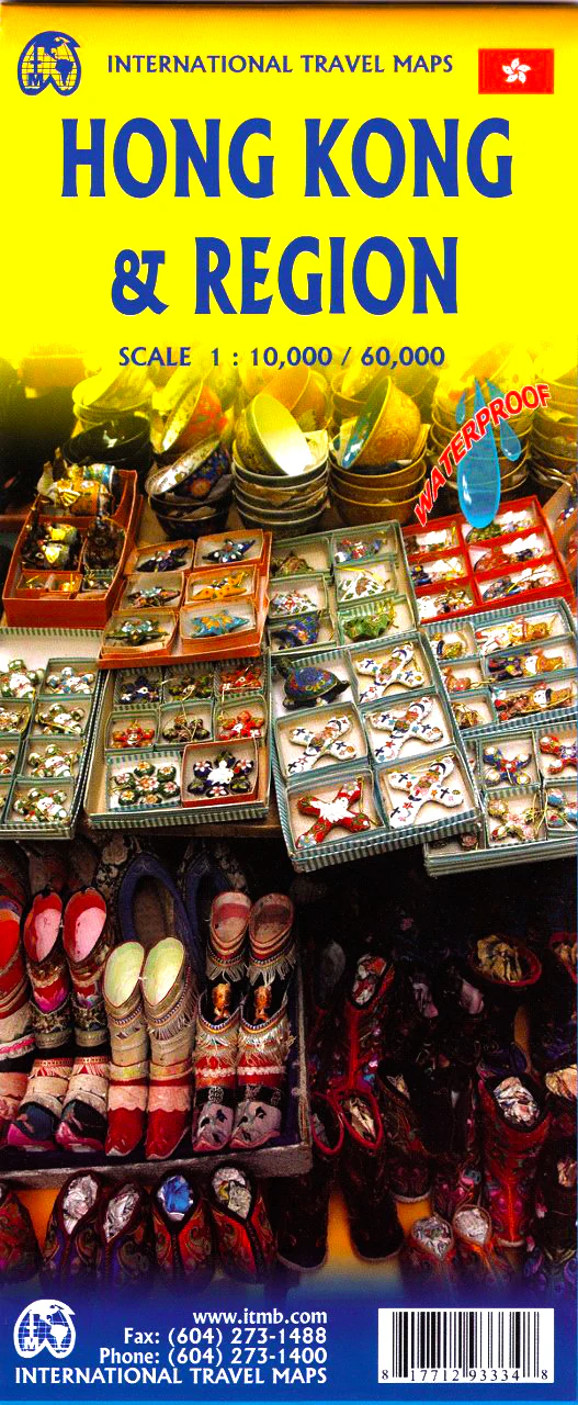
Hong Kong & Region ITMB - China Map
Double-Sided • City & Regional Map • Laminatable Option
Scale: 1:10,000 (City) / 1:60,000 (Region) • Size: 690 mm x 1000 mm
Navigate one of the world’s most dynamic urban landscapes with this detailed double-sided map of Hong Kong and the surrounding region by International Travel Maps (ITMB). Combining street-level detail of Central Hong Kong and Kowloon with a wider regional overview stretching to Shenzhen, this map is an essential tool for travellers, expats, and educators alike.
🏙️ Side A: Central Hong Kong & Kowloon – City Map (1:10,000 Scale)
-
Focuses on Central District on Hong Kong Island and all of Kowloon north to Boundary Road
-
Includes neighbourhoods such as Tsim Sha Tsui, Yau Ma Tei, Mong Kok, and Jordan
-
Highlights:
-
🏢 Hotels, attractions, and landmarks
-
🛍️ Shopping districts, markets, and museums
-
🚌 MTR stations and major transit routes
-
-
Includes inset maps showing public transport lines and routes into the city from the airport
🌏 Side B: Hong Kong & Shenzhen Regional Map (1:60,000 Scale)
-
Covers the broader Hong Kong territory from the New Territories northward into Shenzhen
-
Shows:
-
🛤️ Major highways and transport connections
-
🌄 Parks, country trails, and topographical features
-
🏙️ Cross-border infrastructure between Hong Kong and mainland China
-
-
Ideal for understanding how Hong Kong connects with greater Guangdong Province
✅ Map Features
| 🧭 Feature | 📌 Description |
|---|---|
| 🗺️ Double-sided format | Central & Kowloon on one side, regional overview on the other |
| 🚉 Transit info included | Airport access, MTR lines, major routes |
| 🏞️ Topographical features | Parks, coastlines, elevation cues |
| 🛍️ Tourist highlights | Attractions, shopping, landmarks |
| 📍 City inset map | Clear city centre details at high resolution |
Optional Lamination Available
Enhance durability and usability with our laminated version, which features:
-
✍️ Writeable surface – Use whiteboard markers for trip planning or location tagging
-
💧 Waterproof and tear-resistant – Perfect for humid environments or active travel
-
🔄 Reusable – Wipe clean and use again
Laminated maps are created by flattening the folded version and sealing it with premium 80-micron gloss laminate. Minor fold lines may remain visible.
Ideal For:
-
🌍 Travellers visiting Hong Kong and Southern China
-
🏫 Geography or international studies educators
-
✈️ Expats and business travellers needing both city and regional detail
-
📦 A thoughtful and practical gift for Hong Kong enthusiasts
📐 Specifications:
| Detail | Value |
|---|---|
| City Scale | 1:10,000 |
| Regional Scale | 1:60,000 |
| Sheet Size | 690 mm x 1000 mm |
| Format | Double-sided, paper or laminated |
| Publisher | ITMB – International Travel Maps |
Whether you're exploring the skyscraper jungle of Central, shopping in Kowloon, or venturing north into Shenzhen, this map offers the clarity, accuracy, and practicality needed for seamless navigation.
Product Information
Product Information
Shipping & Returns
Shipping & Returns
Description
Double-Sided • City & Regional Map • Laminatable Option
Scale: 1:10,000 (City) / 1:60,000 (Region) • Size: 690 mm x 1000 mm
Navigate one of the world’s most dynamic urban landscapes with this detailed double-sided map of Hong Kong and the surrounding region by International Travel Maps (ITMB). Combining street-level detail of Central Hong Kong and Kowloon with a wider regional overview stretching to Shenzhen, this map is an essential tool for travellers, expats, and educators alike.
🏙️ Side A: Central Hong Kong & Kowloon – City Map (1:10,000 Scale)
-
Focuses on Central District on Hong Kong Island and all of Kowloon north to Boundary Road
-
Includes neighbourhoods such as Tsim Sha Tsui, Yau Ma Tei, Mong Kok, and Jordan
-
Highlights:
-
🏢 Hotels, attractions, and landmarks
-
🛍️ Shopping districts, markets, and museums
-
🚌 MTR stations and major transit routes
-
-
Includes inset maps showing public transport lines and routes into the city from the airport
🌏 Side B: Hong Kong & Shenzhen Regional Map (1:60,000 Scale)
-
Covers the broader Hong Kong territory from the New Territories northward into Shenzhen
-
Shows:
-
🛤️ Major highways and transport connections
-
🌄 Parks, country trails, and topographical features
-
🏙️ Cross-border infrastructure between Hong Kong and mainland China
-
-
Ideal for understanding how Hong Kong connects with greater Guangdong Province
✅ Map Features
| 🧭 Feature | 📌 Description |
|---|---|
| 🗺️ Double-sided format | Central & Kowloon on one side, regional overview on the other |
| 🚉 Transit info included | Airport access, MTR lines, major routes |
| 🏞️ Topographical features | Parks, coastlines, elevation cues |
| 🛍️ Tourist highlights | Attractions, shopping, landmarks |
| 📍 City inset map | Clear city centre details at high resolution |
Optional Lamination Available
Enhance durability and usability with our laminated version, which features:
-
✍️ Writeable surface – Use whiteboard markers for trip planning or location tagging
-
💧 Waterproof and tear-resistant – Perfect for humid environments or active travel
-
🔄 Reusable – Wipe clean and use again
Laminated maps are created by flattening the folded version and sealing it with premium 80-micron gloss laminate. Minor fold lines may remain visible.
Ideal For:
-
🌍 Travellers visiting Hong Kong and Southern China
-
🏫 Geography or international studies educators
-
✈️ Expats and business travellers needing both city and regional detail
-
📦 A thoughtful and practical gift for Hong Kong enthusiasts
📐 Specifications:
| Detail | Value |
|---|---|
| City Scale | 1:10,000 |
| Regional Scale | 1:60,000 |
| Sheet Size | 690 mm x 1000 mm |
| Format | Double-sided, paper or laminated |
| Publisher | ITMB – International Travel Maps |
Whether you're exploring the skyscraper jungle of Central, shopping in Kowloon, or venturing north into Shenzhen, this map offers the clarity, accuracy, and practicality needed for seamless navigation.