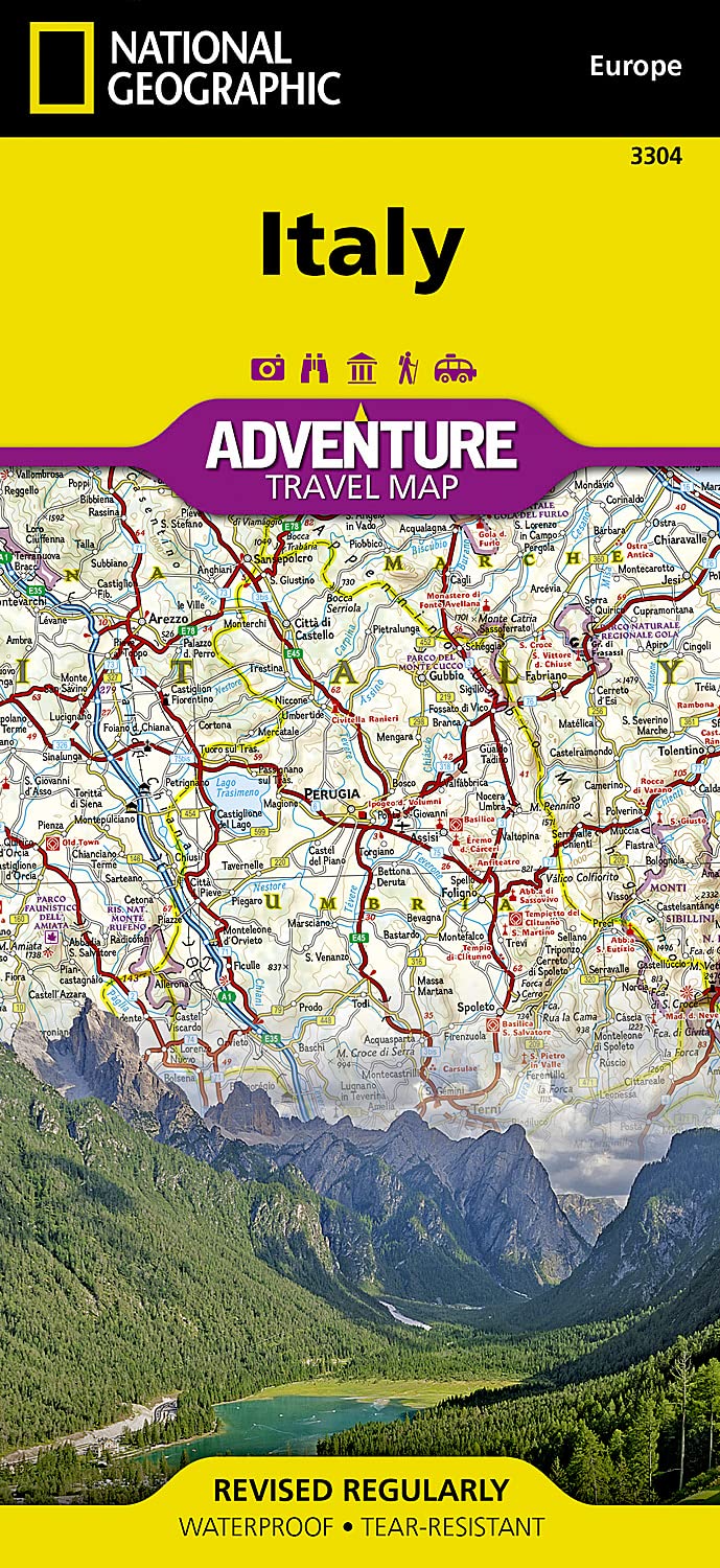
Italy National Geographic Folded Map
🇮🇹 Italy National Geographic Adventure Map
Durable Folded Map for Road Trips, Heritage Travel & Exploration
Scale: 1:800,000 approx | Waterproof • Tear-Resistant • Folded
Explore the wonders of Italy—from the snow-dusted Alps to the sun-drenched shores of Sicily—with National Geographic’s Italy Adventure Map, an essential companion for the discerning traveller. Designed specifically for adventure and cultural travel, this two-sided map combines rugged durability with unmatched cartographic precision, making it the perfect tool for exploring both iconic highlights and lesser-known gems across the Italian peninsula.
🗺️ Key Features:
-
Double-Sided Coverage of the Entire Country
-
Front Side: Northern Italy, including Rome and extending to the borders with France, Switzerland, Austria, and Slovenia. Covers Aosta Valley, Piedmont, Lombardy, Trentino-Alto Adige, Veneto, Friuli-Venezia Giulia, Emilia-Romagna, Liguria, Tuscany, Marche, Umbria, Lazio, Abruzzo, and Molise.
-
Reverse Side: Southern Italy and the Mediterranean Islands of Sicily and Sardinia, featuring Campania, Apulia (Puglia), Basilicata, and Calabria.
-
-
Highly Detailed Road Network
-
Clearly marked highways, main roads, secondary roads, and trails
-
Distances between towns, ferry routes, and scenic byways included
-
Perfect for road trippers, cyclists, hikers, and long-distance travellers
-
-
Adventure-Ready Details
-
Hundreds of cultural, historical, and ecological points of interest
-
UNESCO World Heritage Sites, archaeological sites, parks, and reserves
-
Popular and off-the-beaten-path destinations noted
-
Hiking trails and remote tracks, including access to rural villages
-
-
User-Friendly Format
-
City/town index for easy look-up
-
Clear legend and symbols for intuitive navigation
-
Ideal for use with any travel guide or itinerary
-
📐 Specifications
| Feature | Details |
|---|---|
| Publisher | National Geographic Maps |
| Map Type | Adventure Series, Folded |
| Scale | 1:800,000 |
| Map Size (Unfolded) | 965 mm x 660 mm (38 in x 26 in) |
| Folded Size | 235 mm x 108 mm (9.25 in x 4.25 in) |
| Material | Synthetic waterproof & tear-resistant paper |
| Printed | Double-sided (North & South Italy) |
✅ Why Choose This Map?
-
🧳 Adventure-ready – Perfect for travellers planning to explore beyond the big cities
-
📚 Complements guidebooks – A great companion to National Geographic’s guidebooks or other Italy travel resources
-
💦 Weatherproof & Rugged – Ideal for field use, road trips, or backpacking in all conditions
-
🖼️ Clear & Informative Design – National Geographic’s renowned cartographic style offers elegant clarity and useful detail
Whether you're wandering the vineyards of Tuscany, navigating the coastal curves of the Amalfi Drive, trekking the Dolomites, or ferry-hopping through the Aeolian Islands, this Italy Adventure Map delivers the detail and resilience you need for a smooth and unforgettable journey.
Product Information
Product Information
Shipping & Returns
Shipping & Returns
Description
🇮🇹 Italy National Geographic Adventure Map
Durable Folded Map for Road Trips, Heritage Travel & Exploration
Scale: 1:800,000 approx | Waterproof • Tear-Resistant • Folded
Explore the wonders of Italy—from the snow-dusted Alps to the sun-drenched shores of Sicily—with National Geographic’s Italy Adventure Map, an essential companion for the discerning traveller. Designed specifically for adventure and cultural travel, this two-sided map combines rugged durability with unmatched cartographic precision, making it the perfect tool for exploring both iconic highlights and lesser-known gems across the Italian peninsula.
🗺️ Key Features:
-
Double-Sided Coverage of the Entire Country
-
Front Side: Northern Italy, including Rome and extending to the borders with France, Switzerland, Austria, and Slovenia. Covers Aosta Valley, Piedmont, Lombardy, Trentino-Alto Adige, Veneto, Friuli-Venezia Giulia, Emilia-Romagna, Liguria, Tuscany, Marche, Umbria, Lazio, Abruzzo, and Molise.
-
Reverse Side: Southern Italy and the Mediterranean Islands of Sicily and Sardinia, featuring Campania, Apulia (Puglia), Basilicata, and Calabria.
-
-
Highly Detailed Road Network
-
Clearly marked highways, main roads, secondary roads, and trails
-
Distances between towns, ferry routes, and scenic byways included
-
Perfect for road trippers, cyclists, hikers, and long-distance travellers
-
-
Adventure-Ready Details
-
Hundreds of cultural, historical, and ecological points of interest
-
UNESCO World Heritage Sites, archaeological sites, parks, and reserves
-
Popular and off-the-beaten-path destinations noted
-
Hiking trails and remote tracks, including access to rural villages
-
-
User-Friendly Format
-
City/town index for easy look-up
-
Clear legend and symbols for intuitive navigation
-
Ideal for use with any travel guide or itinerary
-
📐 Specifications
| Feature | Details |
|---|---|
| Publisher | National Geographic Maps |
| Map Type | Adventure Series, Folded |
| Scale | 1:800,000 |
| Map Size (Unfolded) | 965 mm x 660 mm (38 in x 26 in) |
| Folded Size | 235 mm x 108 mm (9.25 in x 4.25 in) |
| Material | Synthetic waterproof & tear-resistant paper |
| Printed | Double-sided (North & South Italy) |
✅ Why Choose This Map?
-
🧳 Adventure-ready – Perfect for travellers planning to explore beyond the big cities
-
📚 Complements guidebooks – A great companion to National Geographic’s guidebooks or other Italy travel resources
-
💦 Weatherproof & Rugged – Ideal for field use, road trips, or backpacking in all conditions
-
🖼️ Clear & Informative Design – National Geographic’s renowned cartographic style offers elegant clarity and useful detail
Whether you're wandering the vineyards of Tuscany, navigating the coastal curves of the Amalfi Drive, trekking the Dolomites, or ferry-hopping through the Aeolian Islands, this Italy Adventure Map delivers the detail and resilience you need for a smooth and unforgettable journey.


