Kimberley Hema 1430 x 1000mm Supermap Paper Wall Map
1430 x 1000 mm Paper Wall Map | Featuring the Iconic Gibb River Road
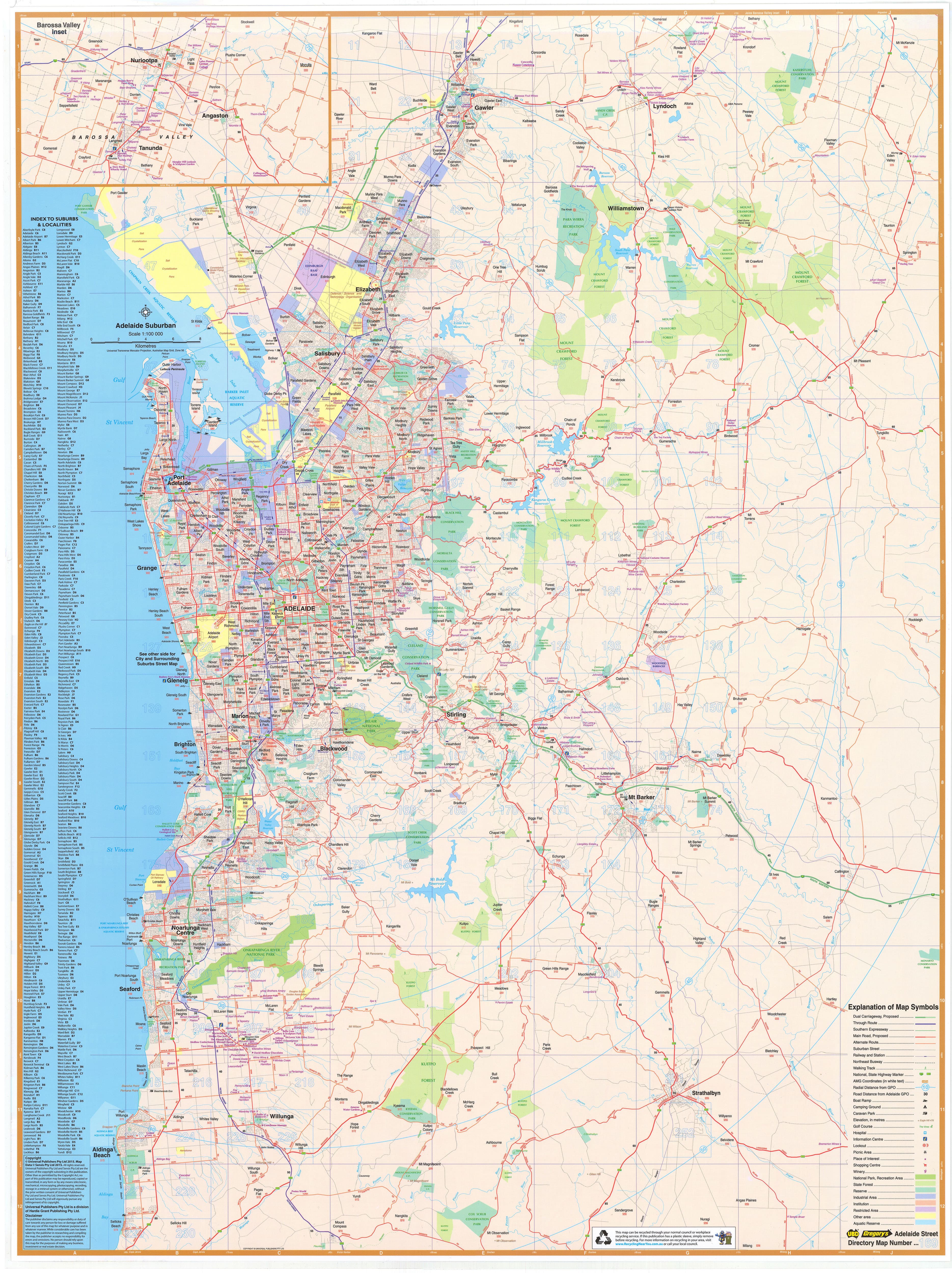
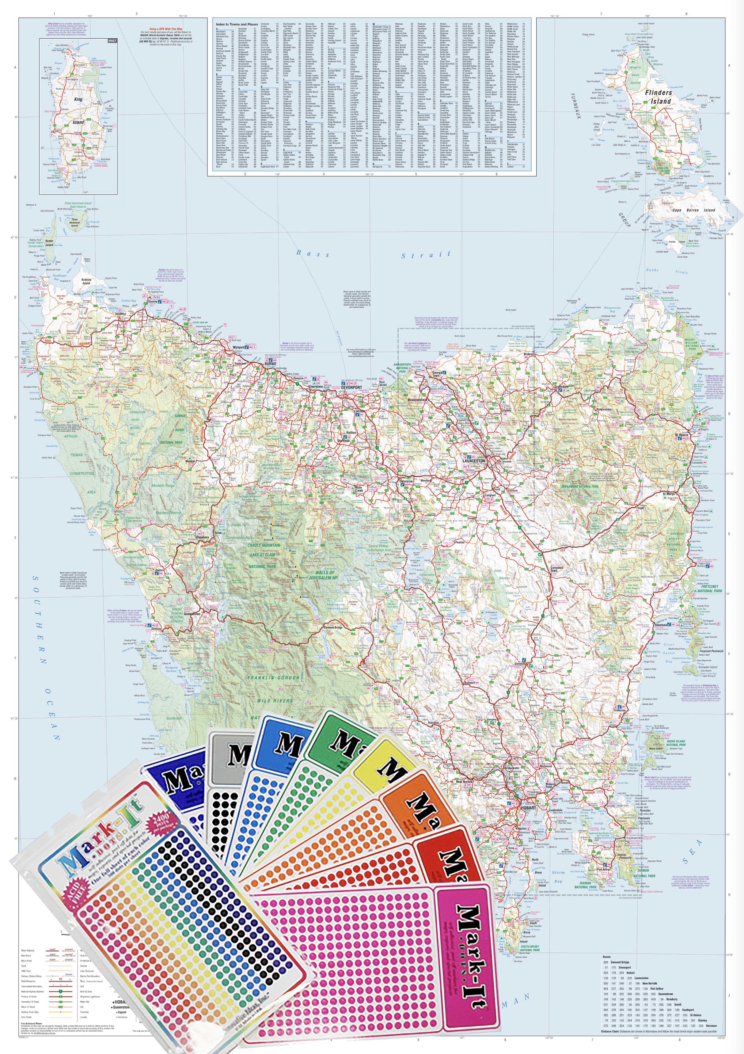
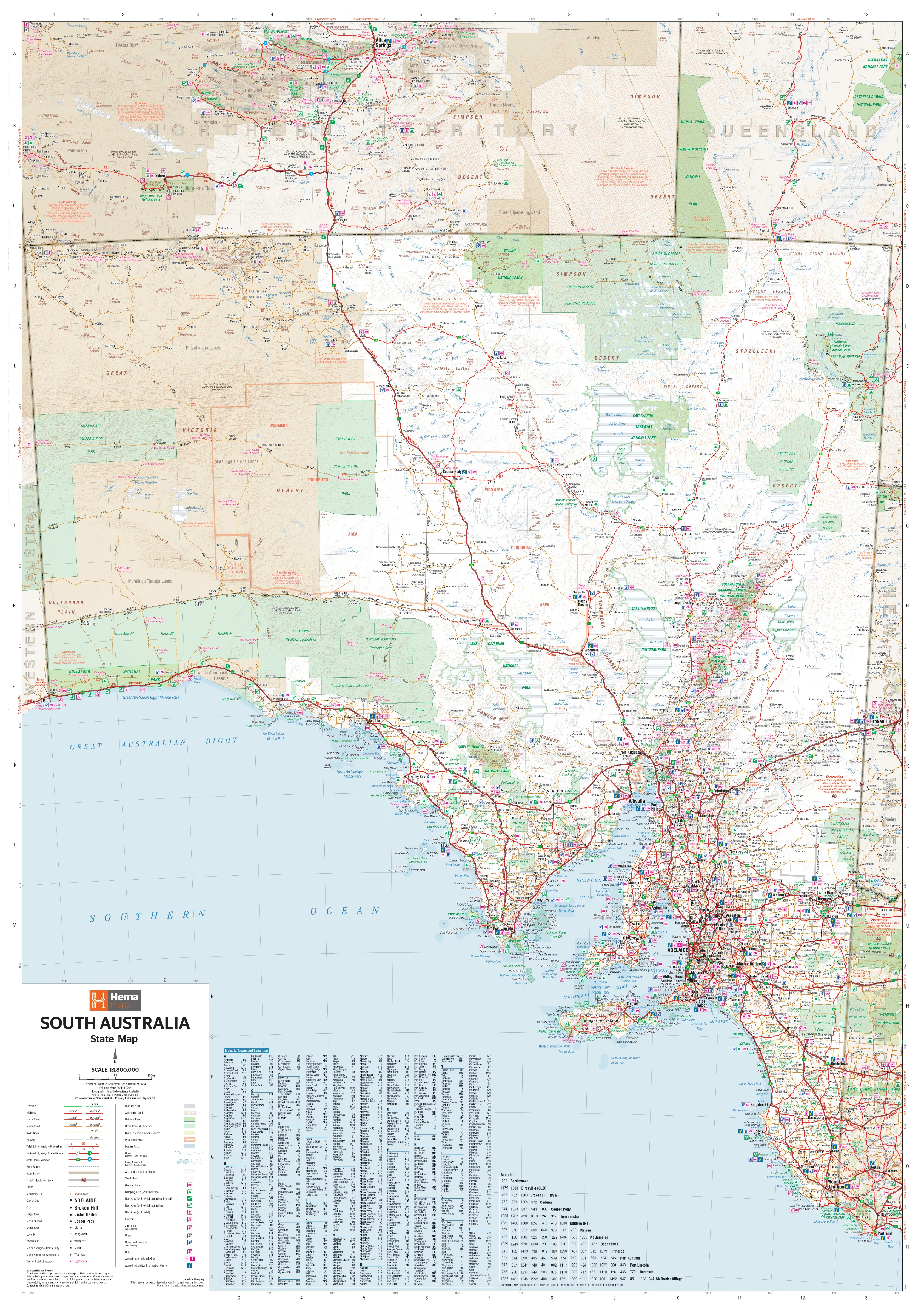
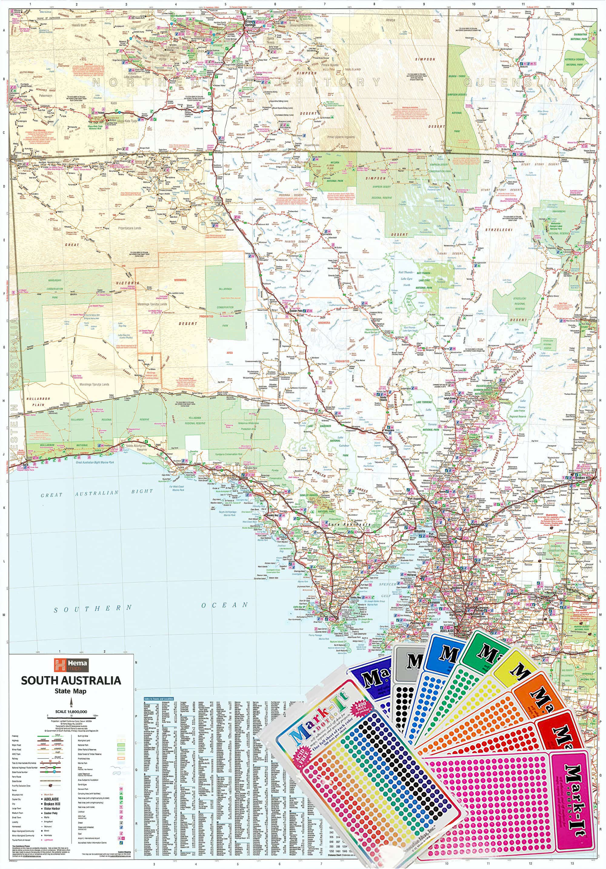
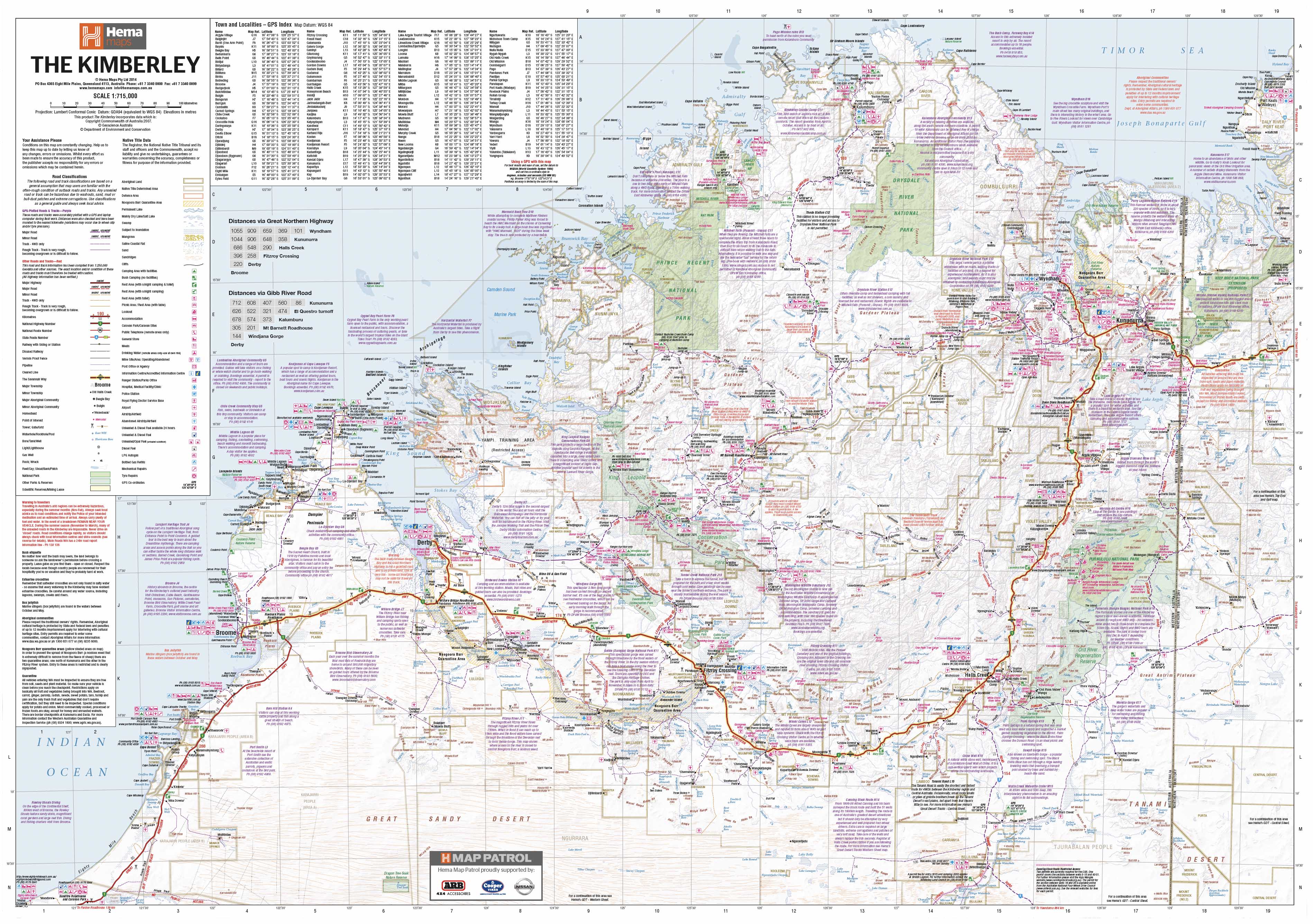
Embark on an epic journey through one of Australia’s last great frontiers with the Kimberley Supermap by Hema Maps—a large-format, GPS-verified wall map that puts the breathtaking wilderness of the Kimberley region at your fingertips. This detailed map offers an unparalleled guide to remote tracks, iconic destinations, and rugged landscapes, with particular focus on the legendary Gibb River Road.
Perfect for planning your next 4WD expedition, decorating your home or office, or simply dreaming of red dirt roads and towering escarpments, this is a must-have for adventurers and map-lovers alike.
🌄 Key Features
-
🛣️ Gibb River Road Highlighted
-
Comprehensive mapping of WA’s iconic off-road route including distances, track conditions, river crossings, and key stops
-
-
🚙 4WD Track Detail
-
Clearly marked four-wheel drive routes, surveyed with Hema’s advanced GPS field-checking technology
-
-
🏕️ Touring Essentials
-
Includes campgrounds, roadhouses, fuel stops, national parks, Indigenous lands, and tourist facilities
-
-
🧭 Navigation-Ready
-
Road distances between points clearly shown
-
Grid references and GPS coordinates provided throughout
-
-
🌳 Natural & Cultural Landmarks
-
Depicts gorges, rivers, waterfalls, walking trails, sacred sites, and park boundaries
-
-
💧 Waterproof Paper
-
Durable enough to withstand handling in outdoor conditions or for long-term display
-
📐 Specifications
| Attribute | Description |
|---|---|
| Title | Kimberley Supermap |
| Publisher | Hema Maps |
| Map Type | Flat Paper Wall Map |
| Scale | Approx. 1:1,250,000 (region-specific) |
| Dimensions | 1430 mm (H) × 1000 mm (W) |
| Finish | Waterproof, high-quality paper |
| Edition | Latest Hema Supermap Series |
| Made in | Australia |
🎯 Perfect For
-
4WD travellers tackling the Gibb River Road or Mitchell Plateau
-
Caravan and campervan adventurers heading through Derby, Kununurra, El Questro, or Broome
-
Nature lovers exploring Windjana Gorge, Purnululu (Bungle Bungles), or Bell Gorge
-
Teachers, tour operators, and WA locals wanting a large reference map of the Kimberley
-
Wall display in homes, libraries, map rooms, and travel agencies
🌟 Why Choose Hema’s Kimberley Supermap?
-
✅ GPS-Surveyed Accuracy – Field-checked by Hema’s own Map Patrol
-
✅ Premium Printing – Crisp detail on durable waterproof paper
-
✅ Massive Size – Bold presence for planning or display (1430 × 1000 mm)
-
✅ Proven Legacy – From Australia's most trusted adventure mapmaker
🧭 Map Your Journey. Discover the Kimberley.
Whether you're plotting your route to Kalumburu, tracing rivers through El Questro, or reminiscing about your last Kimberley adventure, this map brings the region’s wild heart into vivid focus.
📦 Order now to begin planning your journey across one of Australia’s most legendary landscapes.
Original: $92.97
-65%$92.97
$32.54Product Information
Product Information
Shipping & Returns
Shipping & Returns
Description
1430 x 1000 mm Paper Wall Map | Featuring the Iconic Gibb River Road
Embark on an epic journey through one of Australia’s last great frontiers with the Kimberley Supermap by Hema Maps—a large-format, GPS-verified wall map that puts the breathtaking wilderness of the Kimberley region at your fingertips. This detailed map offers an unparalleled guide to remote tracks, iconic destinations, and rugged landscapes, with particular focus on the legendary Gibb River Road.
Perfect for planning your next 4WD expedition, decorating your home or office, or simply dreaming of red dirt roads and towering escarpments, this is a must-have for adventurers and map-lovers alike.
🌄 Key Features
-
🛣️ Gibb River Road Highlighted
-
Comprehensive mapping of WA’s iconic off-road route including distances, track conditions, river crossings, and key stops
-
-
🚙 4WD Track Detail
-
Clearly marked four-wheel drive routes, surveyed with Hema’s advanced GPS field-checking technology
-
-
🏕️ Touring Essentials
-
Includes campgrounds, roadhouses, fuel stops, national parks, Indigenous lands, and tourist facilities
-
-
🧭 Navigation-Ready
-
Road distances between points clearly shown
-
Grid references and GPS coordinates provided throughout
-
-
🌳 Natural & Cultural Landmarks
-
Depicts gorges, rivers, waterfalls, walking trails, sacred sites, and park boundaries
-
-
💧 Waterproof Paper
-
Durable enough to withstand handling in outdoor conditions or for long-term display
-
📐 Specifications
| Attribute | Description |
|---|---|
| Title | Kimberley Supermap |
| Publisher | Hema Maps |
| Map Type | Flat Paper Wall Map |
| Scale | Approx. 1:1,250,000 (region-specific) |
| Dimensions | 1430 mm (H) × 1000 mm (W) |
| Finish | Waterproof, high-quality paper |
| Edition | Latest Hema Supermap Series |
| Made in | Australia |
🎯 Perfect For
-
4WD travellers tackling the Gibb River Road or Mitchell Plateau
-
Caravan and campervan adventurers heading through Derby, Kununurra, El Questro, or Broome
-
Nature lovers exploring Windjana Gorge, Purnululu (Bungle Bungles), or Bell Gorge
-
Teachers, tour operators, and WA locals wanting a large reference map of the Kimberley
-
Wall display in homes, libraries, map rooms, and travel agencies
🌟 Why Choose Hema’s Kimberley Supermap?
-
✅ GPS-Surveyed Accuracy – Field-checked by Hema’s own Map Patrol
-
✅ Premium Printing – Crisp detail on durable waterproof paper
-
✅ Massive Size – Bold presence for planning or display (1430 × 1000 mm)
-
✅ Proven Legacy – From Australia's most trusted adventure mapmaker
🧭 Map Your Journey. Discover the Kimberley.
Whether you're plotting your route to Kalumburu, tracing rivers through El Questro, or reminiscing about your last Kimberley adventure, this map brings the region’s wild heart into vivid focus.
📦 Order now to begin planning your journey across one of Australia’s most legendary landscapes.