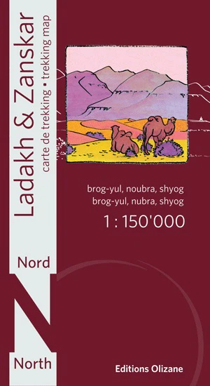
Ladakh & Zanskar North Olizane Specialist Folded Map
New updated version, printed on water and tear resistant Polyart paper.
This map covers the center of the Ladakh-Zanskar region where Nubra and Lower Ladakh are located. Made on the basis of satellite images and recent information collected in the field, it has contour lines, a shaded relief, and indicates all villages, monasteries, roads, bridges and other places of tourist interest.
Checkpoints that prohibit access to certain valleys in border areas with China are also mentioned. The map contains coordinates for use with GPS.
This map is order on-demand so please allow 10 working days for delivery
Product Information
Product Information
Shipping & Returns
Shipping & Returns
Description
New updated version, printed on water and tear resistant Polyart paper.
This map covers the center of the Ladakh-Zanskar region where Nubra and Lower Ladakh are located. Made on the basis of satellite images and recent information collected in the field, it has contour lines, a shaded relief, and indicates all villages, monasteries, roads, bridges and other places of tourist interest.
Checkpoints that prohibit access to certain valleys in border areas with China are also mentioned. The map contains coordinates for use with GPS.
This map is order on-demand so please allow 10 working days for delivery