New York State National Geographic Folded Map
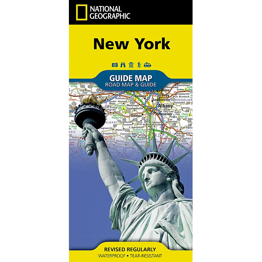
🗽 New York State – National Geographic State Guide Map
Waterproof • Tear-Resistant • Travel Map
From the roaring cascades of Niagara Falls to the bright lights of New York City, National Geographic’s New York State Guide Map combines precision mapping with rich travel insight, making it the perfect companion for exploring the Empire State. Whether you’re planning a weekend in Manhattan, a wine-tasting tour in the Finger Lakes, or a scenic drive through the Adirondacks, this map offers clarity, durability, and detail you can rely on.
🗺 Comprehensive Statewide Coverage
-
Complete Road Network – Interstates, state highways, and local roads, with mileage indicators for major routes
-
Access Types – Toll roads, scenic byways, and ferry connections clearly marked
-
Travel Essentials – Public recreation areas, airports, hospitals, campgrounds, visitor centres, and ski areas
📍 Detailed Insets for Key Cities & Regions
-
Rochester – Gateway to the Finger Lakes and Lake Ontario shoreline
-
Syracuse – Central New York’s cultural and university hub
-
Utica – Access point to the Adirondack Park wilderness
-
Binghamton – Rich in history and outdoor recreation
-
Albany / Schenectady / Troy – Explore the state capital and historic river cities
🌆 Bonus City & Regional Maps on Reverse
-
New York City – Street-level clarity for navigating boroughs, landmarks, and transport hubs
-
Buffalo & Niagara Falls – Urban detail plus access routes to one of the world’s great natural wonders
🌄 Special Features
-
Points of Interest – Historical landmarks, cultural sites, and natural attractions marked throughout the state
-
Scenic Drive Routes – Highlighting some of New York’s most beautiful road trips
-
National Park Service Sites – Easy reference for federal parklands, historic parks, and heritage areas
📐 Product Specifications
| Feature | Detail |
|---|---|
| Publisher | National Geographic Maps |
| Map Type | Folded State Guide Map |
| Material | Waterproof, tear-resistant synthetic paper |
| Scale | Statewide with multiple insets |
| Format | Double-sided |
| Flat Size | 660 mm x 940 mm (26" x 37") |
| Folded Size | 102 mm x 229 mm (4" x 9") |
| Order Info | Order on Demand – Please allow 7–10 working days for delivery |
🎯 Ideal For
-
Road trippers exploring from the Adirondacks to Long Island
-
City visitors navigating New York’s metropolitan hubs
-
Outdoor adventurers heading for state parks, lakes, and ski resorts
-
Cultural travellers following heritage trails, museums, and historic sites
With National Geographic’s New York State Guide Map, you’re ready to navigate America’s Empire State—from towering skylines to serene lake shores—confidently, clearly, and without missing a landmark.
Original: $21.43
-65%$21.43
$7.50Product Information
Product Information
Shipping & Returns
Shipping & Returns
Description
🗽 New York State – National Geographic State Guide Map
Waterproof • Tear-Resistant • Travel Map
From the roaring cascades of Niagara Falls to the bright lights of New York City, National Geographic’s New York State Guide Map combines precision mapping with rich travel insight, making it the perfect companion for exploring the Empire State. Whether you’re planning a weekend in Manhattan, a wine-tasting tour in the Finger Lakes, or a scenic drive through the Adirondacks, this map offers clarity, durability, and detail you can rely on.
🗺 Comprehensive Statewide Coverage
-
Complete Road Network – Interstates, state highways, and local roads, with mileage indicators for major routes
-
Access Types – Toll roads, scenic byways, and ferry connections clearly marked
-
Travel Essentials – Public recreation areas, airports, hospitals, campgrounds, visitor centres, and ski areas
📍 Detailed Insets for Key Cities & Regions
-
Rochester – Gateway to the Finger Lakes and Lake Ontario shoreline
-
Syracuse – Central New York’s cultural and university hub
-
Utica – Access point to the Adirondack Park wilderness
-
Binghamton – Rich in history and outdoor recreation
-
Albany / Schenectady / Troy – Explore the state capital and historic river cities
🌆 Bonus City & Regional Maps on Reverse
-
New York City – Street-level clarity for navigating boroughs, landmarks, and transport hubs
-
Buffalo & Niagara Falls – Urban detail plus access routes to one of the world’s great natural wonders
🌄 Special Features
-
Points of Interest – Historical landmarks, cultural sites, and natural attractions marked throughout the state
-
Scenic Drive Routes – Highlighting some of New York’s most beautiful road trips
-
National Park Service Sites – Easy reference for federal parklands, historic parks, and heritage areas
📐 Product Specifications
| Feature | Detail |
|---|---|
| Publisher | National Geographic Maps |
| Map Type | Folded State Guide Map |
| Material | Waterproof, tear-resistant synthetic paper |
| Scale | Statewide with multiple insets |
| Format | Double-sided |
| Flat Size | 660 mm x 940 mm (26" x 37") |
| Folded Size | 102 mm x 229 mm (4" x 9") |
| Order Info | Order on Demand – Please allow 7–10 working days for delivery |
🎯 Ideal For
-
Road trippers exploring from the Adirondacks to Long Island
-
City visitors navigating New York’s metropolitan hubs
-
Outdoor adventurers heading for state parks, lakes, and ski resorts
-
Cultural travellers following heritage trails, museums, and historic sites
With National Geographic’s New York State Guide Map, you’re ready to navigate America’s Empire State—from towering skylines to serene lake shores—confidently, clearly, and without missing a landmark.


