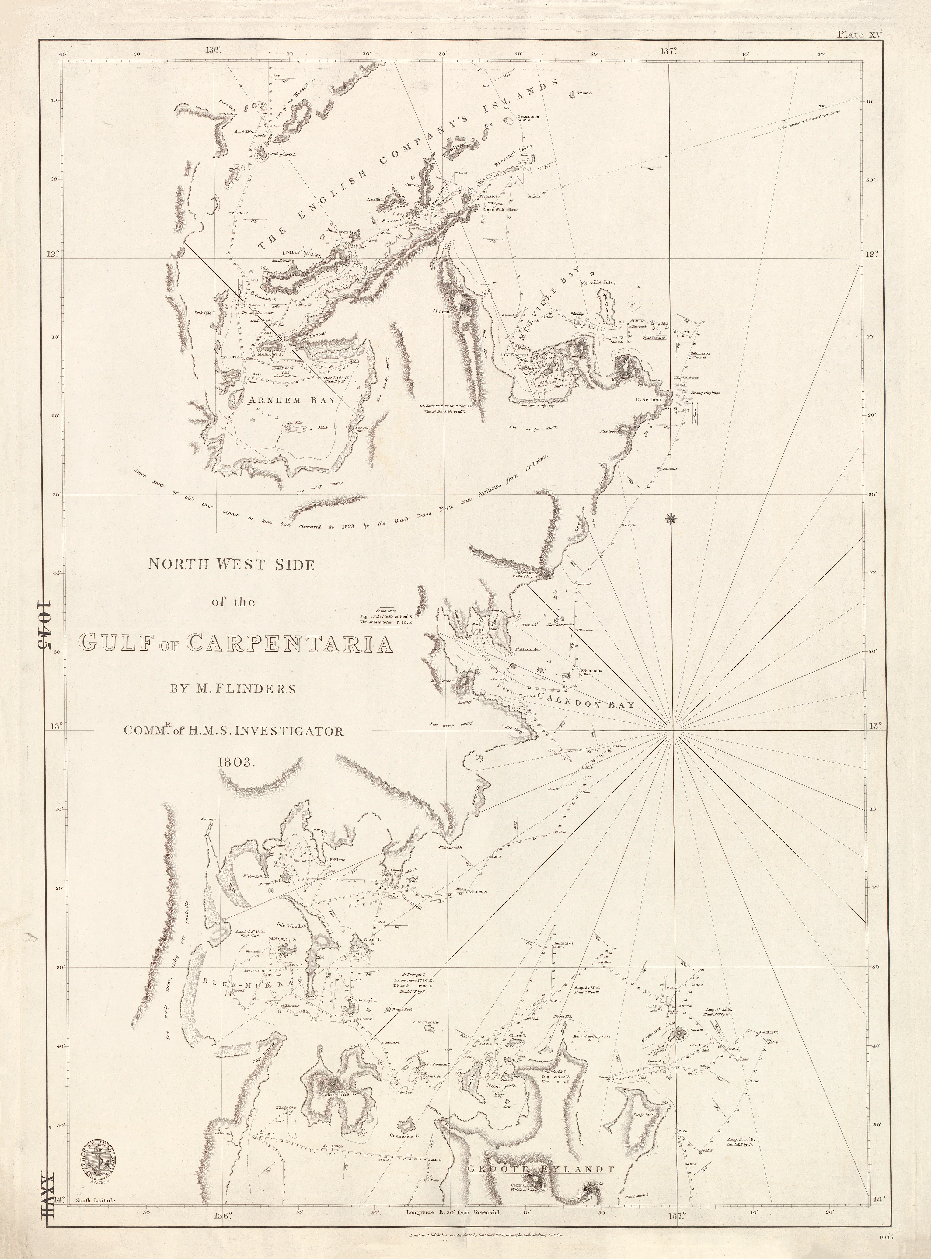
North-West Side of the Gulf of Carpentaria (1803)
Matthew Flinders charts Australia’s last great unknown shore
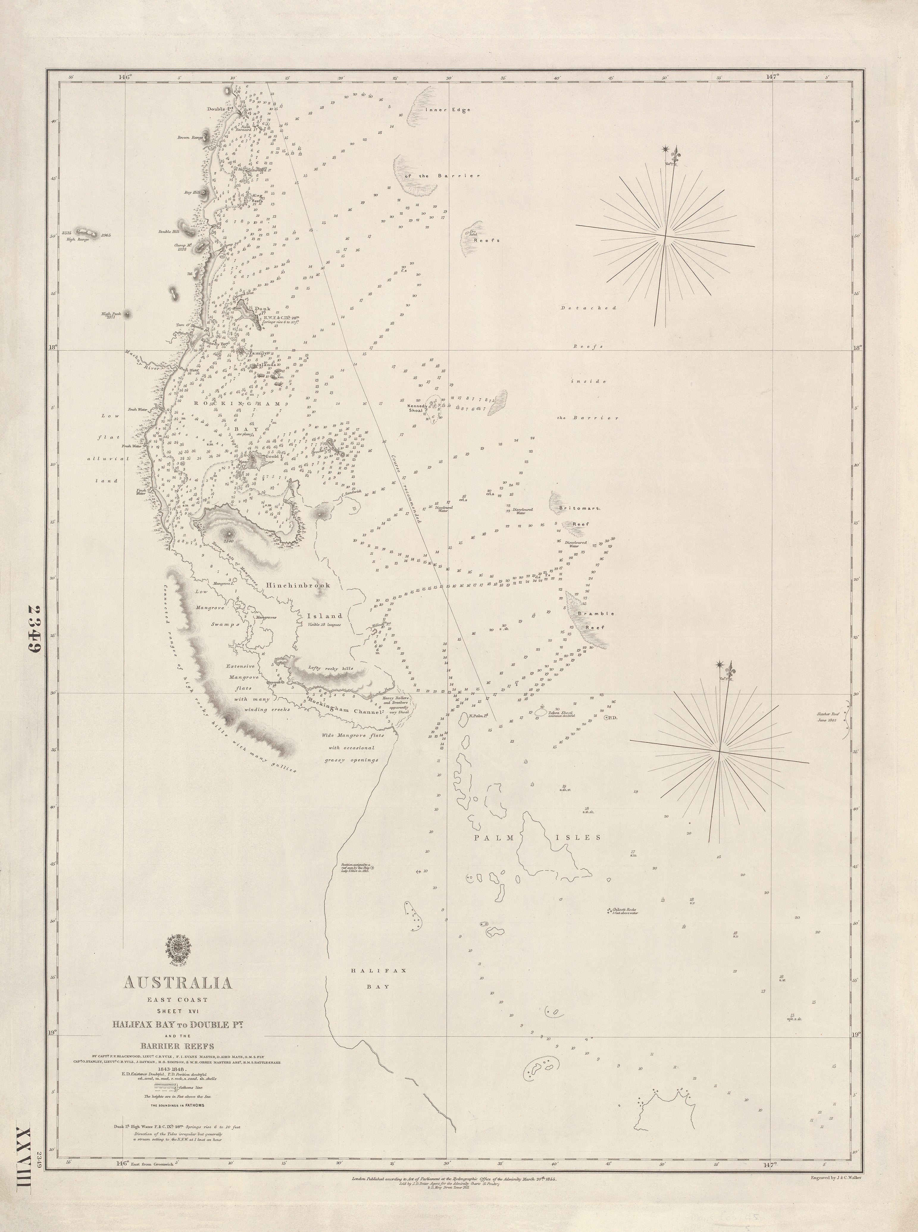
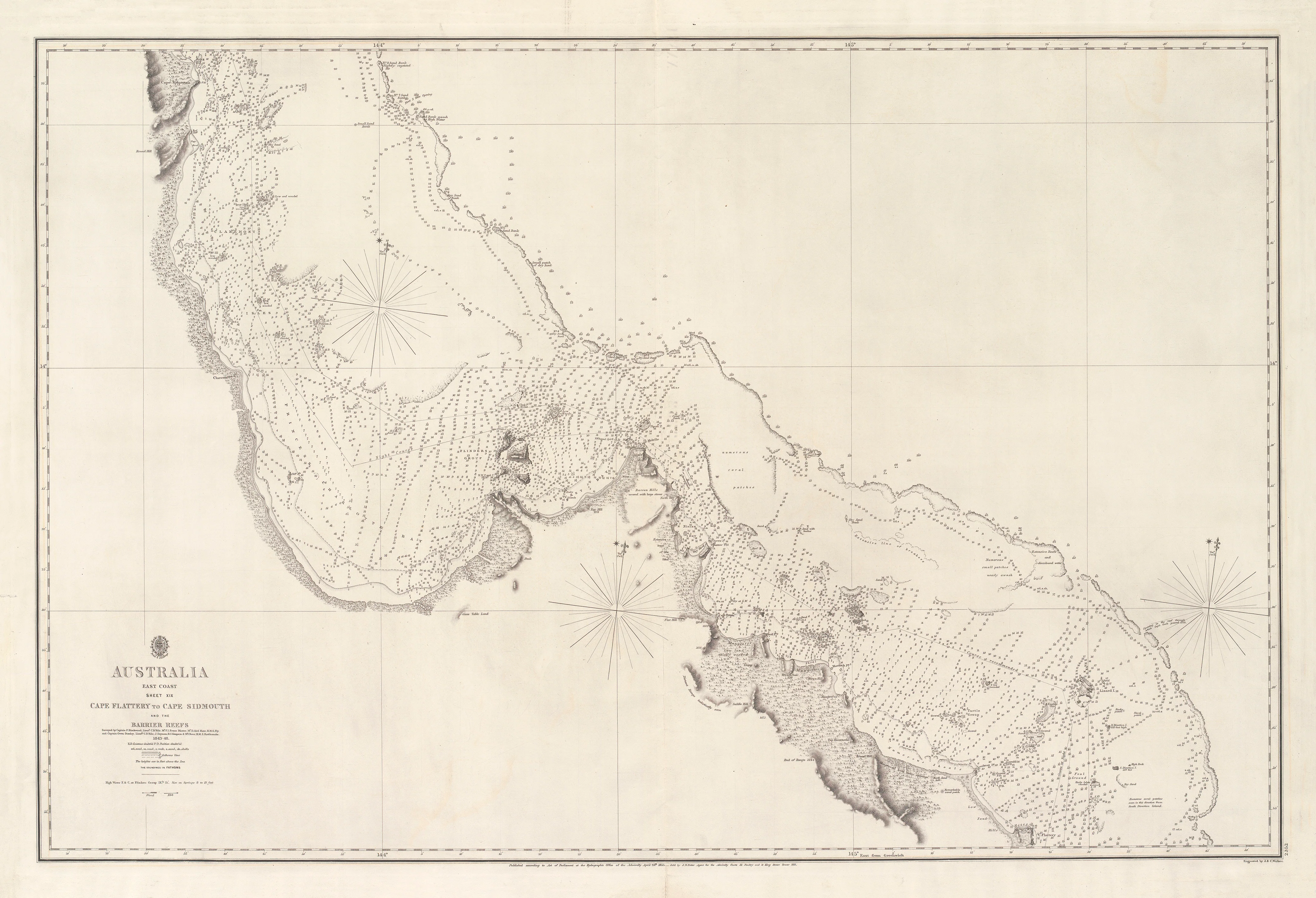
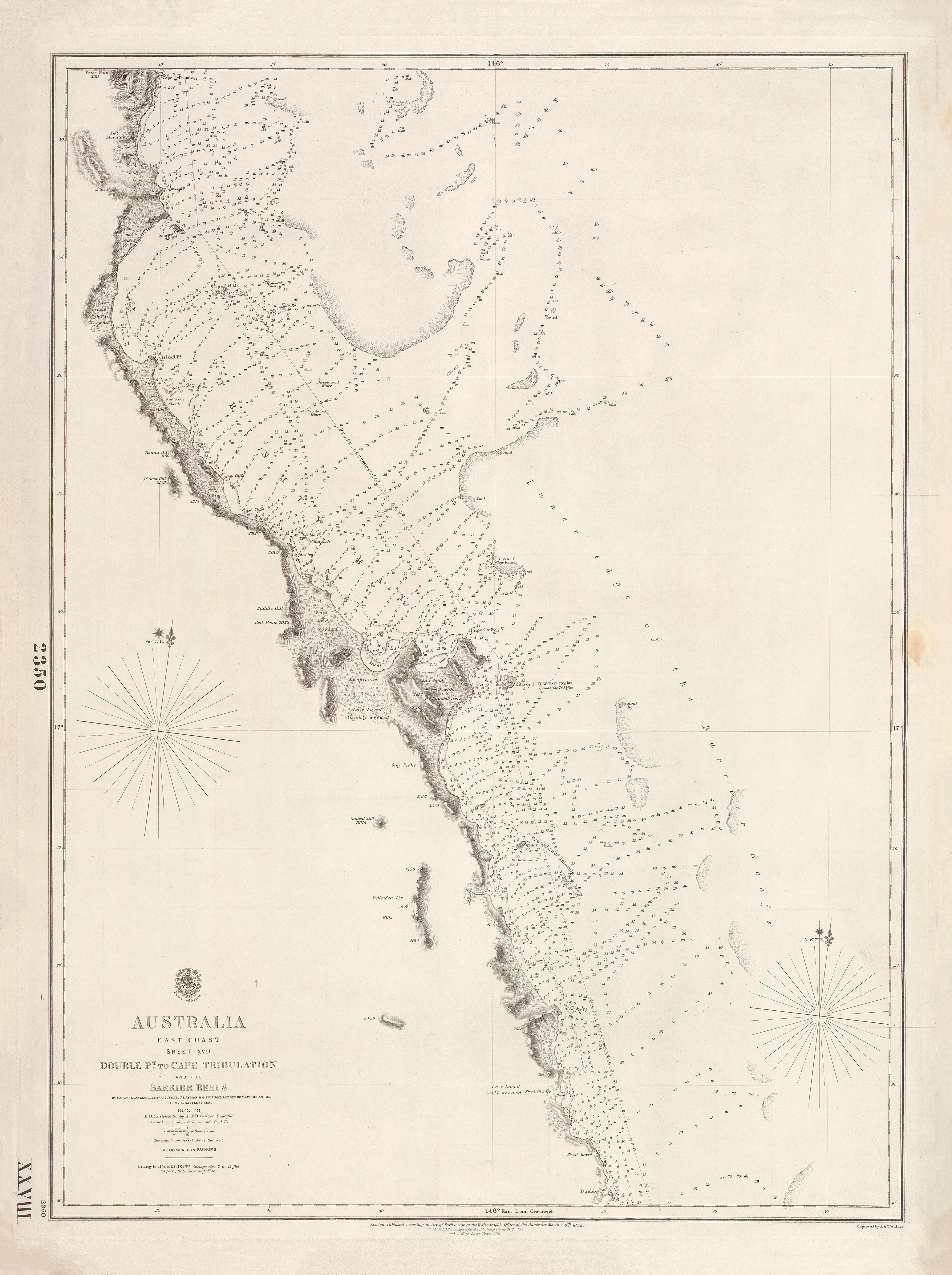
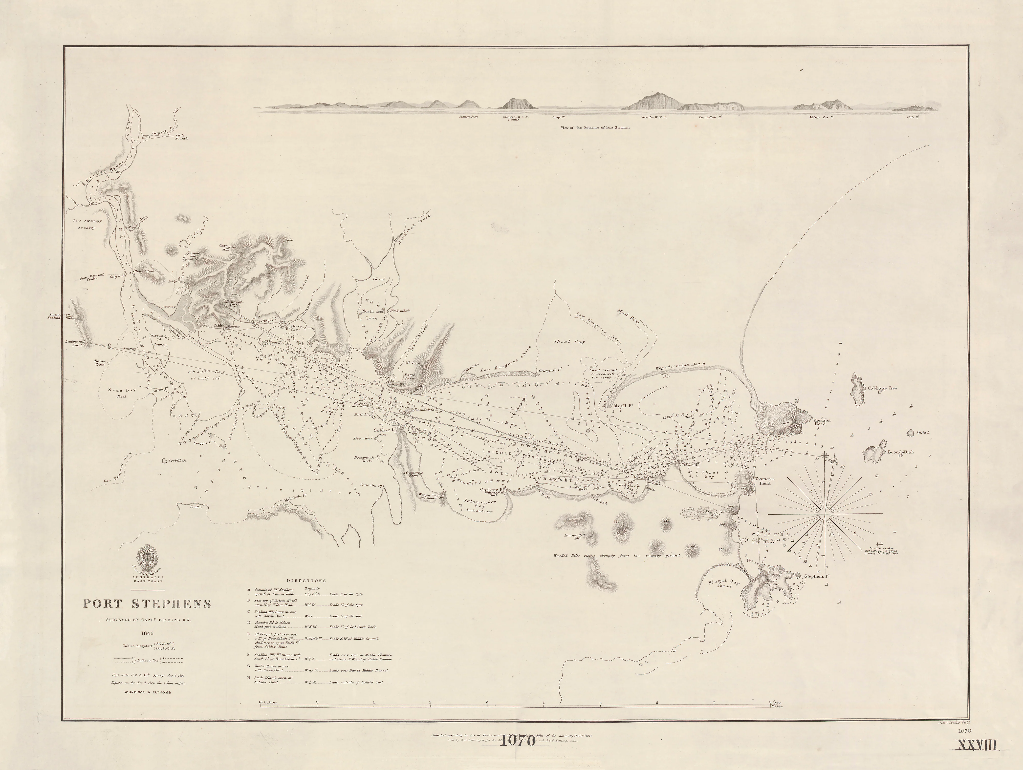
This rare British Admiralty chart records one of the final blank spaces on Australia’s map being filled in. Surveyed in 1803 by Matthew Flinders aboard H.M.S. Investigator, it captures the north-western margin of the Gulf of Carpentaria as it was first scientifically observed, measured, and understood.
Issued in 1814 under the authority of Admiralty Hydrographer Thomas Hurd, this chart formed Plate XV of A Voyage to Terra Australis—the atlas that finally defined the outline of the continent.
This is not a decorative map.
It is Australia being discovered in real time.
⚓ What This Chart Shows
-
The north-west side of the Gulf of Carpentaria (modern Northern Territory coast)
-
Flinders’ survey tracks of Investigator (1803)
-
Headlands, bays and river mouths as first recorded
-
Bathymetric soundings revealing depths and offshore hazards
-
Coastal relief rendered in classic Admiralty hachures
-
Greenwich prime meridian — true naval navigation standard
🧭 Why This Chart Works
-
Drawn from Flinders’ original field surveys
-
True British Admiralty production — the world benchmark for accuracy
-
Unfiltered exploration data, not later interpretation
-
Original atlas plate from A Voyage to Terra Australis
-
Museum-grade engraving and historical authority
✨ Premium Finishes
Printed in Australia using archival methods to preserve every fine engraved line.
| Format | Description |
|---|---|
| 📜 Paper (160 gsm matte) | Smooth heavyweight archival paper with exceptional line definition; ideal for framing under glass. |
| 🧼 Laminated (True Encapsulation) | 2 × 80-micron gloss laminate, edge-to-edge protection; tear-resistant and wipe-clean. |
| 🖼️ Canvas (395 gsm HP Professional Matte) | Pigment-based, fade-resistant inks for a warm, gallery-grade finish. |
| 🪵 Laminated + Timber Hang Rails | Natural timber rails with cord; ready to hang. Allow up to 10 working days. |
| 🪵 Canvas + Timber Hang Rails | Elegant frameless presentation with lacquered natural timber rails. Allow up to 10 working days. |
📐 Size
740 mm (W) × 1000 mm (H)
A tall portrait format that mirrors the long, sparsely known sweep of Australia’s northern shore.
🎯 Ideal For
-
Australian exploration & maritime history collectors
-
Museums, libraries, universities
-
Northern Australia heritage interiors
-
Anyone fascinated by the making of Australia’s map
🤝 Our Commitment
-
Printed in Australia with professional colour management
-
Archival pigment inks for long-term colour stability
-
Premium laminates and canvas for durability
-
Natural timber hang rails for elegant presentation
-
Hand-checked and carefully packed before dispatch
Before Australia was complete, this coast was unknown.
Choose your finish and bring Matthew Flinders’ northern discovery onto your wall.