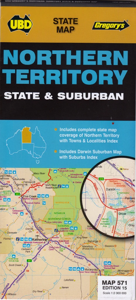
Northern Territory State & Suburban Map UBD 571
Edition: 2023 | Size: 700 mm x 1000 mm | Scale: 1:2,000,000 (State), 1:75,000 (Darwin Suburban)
ISBN: 9780731930449
Explore the vast expanse of Australia’s Top End with this richly detailed wall map of the Northern Territory by UBD Gregory’s. Whether you’re planning a road trip across remote outback highways, navigating urban areas around Darwin, or mapping out logistics for business or education, this dual-purpose map offers clarity, precision, and practical utility.
🧭 Features & Coverage
Front Side – Northern Territory State Map (1:2,000,000):
-
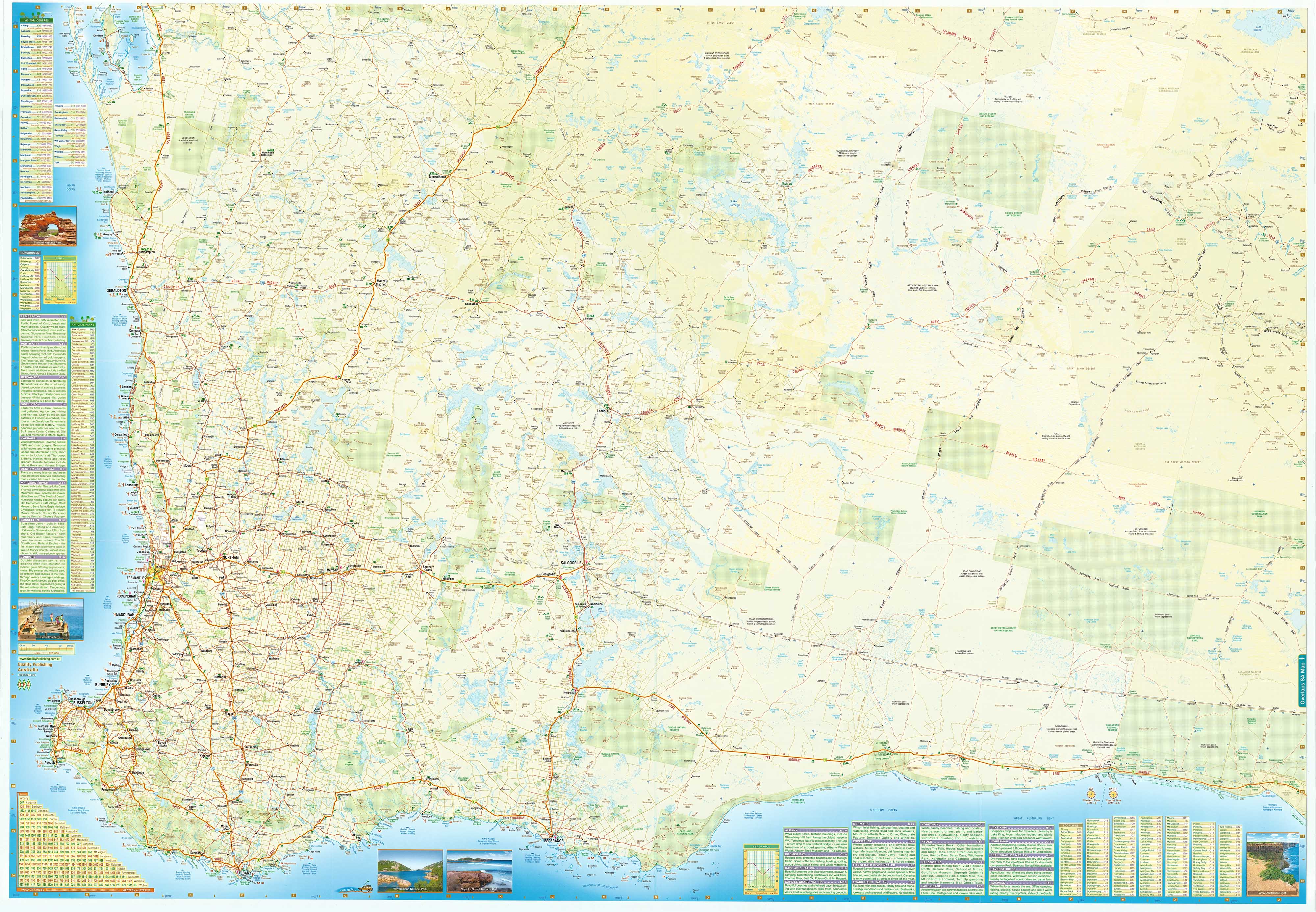
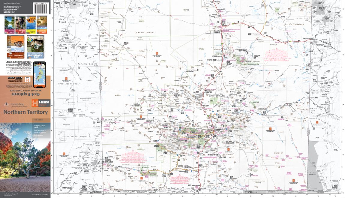
Full state coverage showing all major and minor highways, roads, and tracks
-
Clearly marked national parks, reserves, and conservation zones
-
Distinct boundaries for Aboriginal land and pastoral leasehold
-
State-wide town index for quick reference
-
Major geographical features including mountain ranges, rivers, and lakes
Reverse Side – Darwin & Suburbs Map (1:75,000):
-
Overview of Darwin’s suburbs including Palmerston, Berrimah, Casuarina, Winnellie, and surrounding areas
-
Suburban index with street-level naming
-
Key infrastructure such as airports, ports, universities, and hospitals marked
-
Ideal for delivery, transport, and urban planning use
Additional Inclusions
-
Overview map highlighting Aboriginal Land and National Parks across the territory — valuable for cultural awareness, land access planning, and environmental tourism
-
High visibility of outback towns, fuel points, and rest areas for travellers and caravaners
-
Designed for easy readability with clean fonts, shaded relief, and colour-coded land zones
📐 Product Specifications
| Specification | Detail |
|---|---|
| Publisher | UBD Gregory’s |
| Edition | 2023 |
| Size (Flat) | 700 mm (W) x 1000 mm (H) |
| State Map Scale | 1:2,000,000 |
| Darwin Map Scale | 1:75,000 |
| Format | Folded paper or flat laminated (options below) |
| Origin | Made in Australia |
🧾 Format Options
-
Folded Paper Map – Lightweight and easy to carry on the road
-
Flat Laminated Wall Map (UBD Factory Laminated) – Gloss-finished, tear-resistant, ideal for pinboards or classroom use
-
Custom Laminated (Flattened & Hand-Laminated) – A budget-friendly option; made by professionally laminating an unfolded map. Please note: minor fold lines may still be visible
🎯 Who Is This Map For?
-
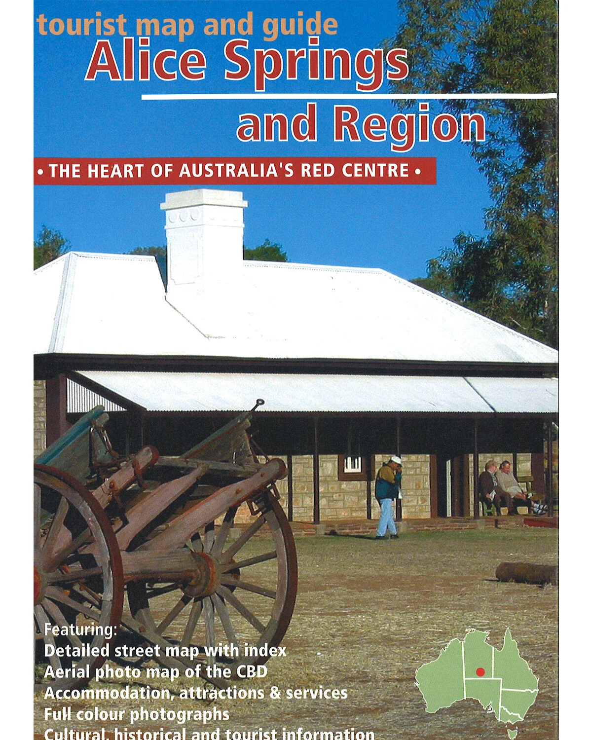
Travellers exploring the Stuart Highway, Kakadu, or the Red Centre
-
Government departments or NGOs working in remote communities
-
Schools and libraries needing an up-to-date NT reference tool
-
Transport and logistics companies operating in Northern Australia
-
Tourism businesses planning routes, tours, or visitor displays
From Arnhem Land to Alice Springs, the Northern Territory State & Suburban Map by UBD Gregory’s brings clarity and insight to a wild and magnificent landscape. Plan, explore, and understand the NT with Australia’s most trusted mapmaker.
Original: $9.98
-65%$9.98
$3.49Product Information
Product Information
Shipping & Returns
Shipping & Returns
Description
Edition: 2023 | Size: 700 mm x 1000 mm | Scale: 1:2,000,000 (State), 1:75,000 (Darwin Suburban)
ISBN: 9780731930449
Explore the vast expanse of Australia’s Top End with this richly detailed wall map of the Northern Territory by UBD Gregory’s. Whether you’re planning a road trip across remote outback highways, navigating urban areas around Darwin, or mapping out logistics for business or education, this dual-purpose map offers clarity, precision, and practical utility.
🧭 Features & Coverage
Front Side – Northern Territory State Map (1:2,000,000):
-
Full state coverage showing all major and minor highways, roads, and tracks
-
Clearly marked national parks, reserves, and conservation zones
-
Distinct boundaries for Aboriginal land and pastoral leasehold
-
State-wide town index for quick reference
-
Major geographical features including mountain ranges, rivers, and lakes
Reverse Side – Darwin & Suburbs Map (1:75,000):
-
Overview of Darwin’s suburbs including Palmerston, Berrimah, Casuarina, Winnellie, and surrounding areas
-
Suburban index with street-level naming
-
Key infrastructure such as airports, ports, universities, and hospitals marked
-
Ideal for delivery, transport, and urban planning use
Additional Inclusions
-
Overview map highlighting Aboriginal Land and National Parks across the territory — valuable for cultural awareness, land access planning, and environmental tourism
-
High visibility of outback towns, fuel points, and rest areas for travellers and caravaners
-
Designed for easy readability with clean fonts, shaded relief, and colour-coded land zones
📐 Product Specifications
| Specification | Detail |
|---|---|
| Publisher | UBD Gregory’s |
| Edition | 2023 |
| Size (Flat) | 700 mm (W) x 1000 mm (H) |
| State Map Scale | 1:2,000,000 |
| Darwin Map Scale | 1:75,000 |
| Format | Folded paper or flat laminated (options below) |
| Origin | Made in Australia |
🧾 Format Options
-
Folded Paper Map – Lightweight and easy to carry on the road
-
Flat Laminated Wall Map (UBD Factory Laminated) – Gloss-finished, tear-resistant, ideal for pinboards or classroom use
-
Custom Laminated (Flattened & Hand-Laminated) – A budget-friendly option; made by professionally laminating an unfolded map. Please note: minor fold lines may still be visible
🎯 Who Is This Map For?
-
Travellers exploring the Stuart Highway, Kakadu, or the Red Centre
-
Government departments or NGOs working in remote communities
-
Schools and libraries needing an up-to-date NT reference tool
-
Transport and logistics companies operating in Northern Australia
-
Tourism businesses planning routes, tours, or visitor displays
From Arnhem Land to Alice Springs, the Northern Territory State & Suburban Map by UBD Gregory’s brings clarity and insight to a wild and magnificent landscape. Plan, explore, and understand the NT with Australia’s most trusted mapmaker.