Northern Territory UBD 571 Map 850 x 1480mm Laminated Wall Map
A Stunning and Functional Wall Map of the Northern Territory – Ideal for Travel, Education & Business Planning
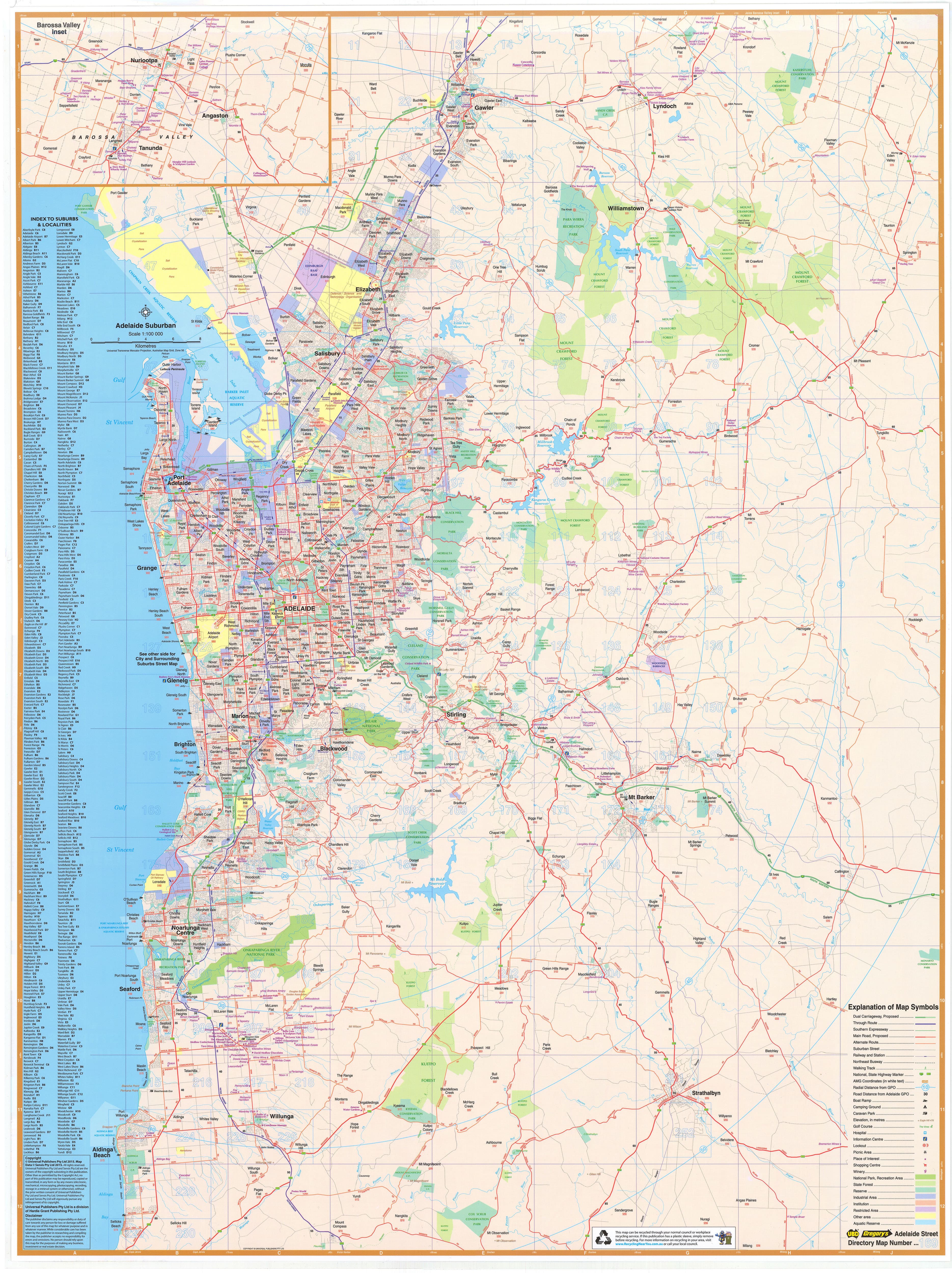
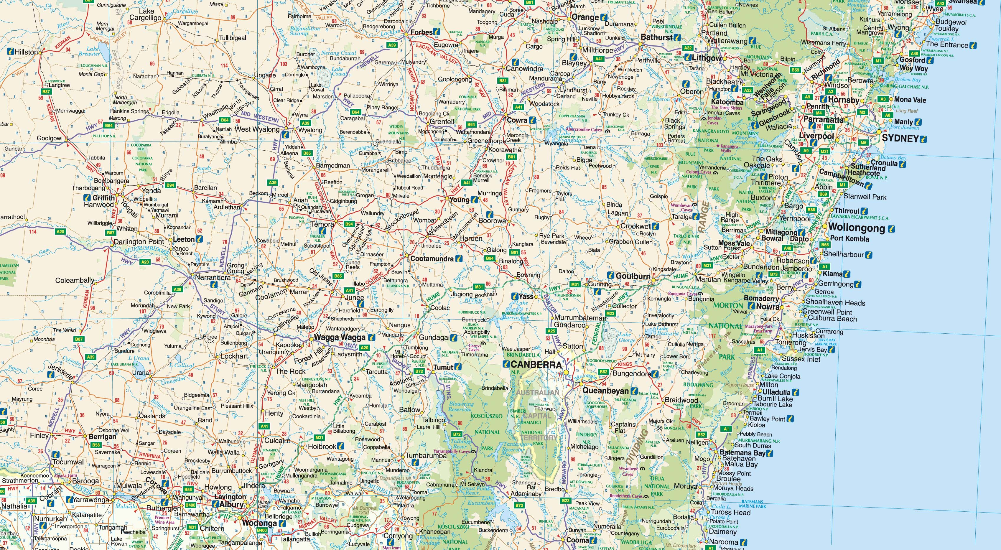
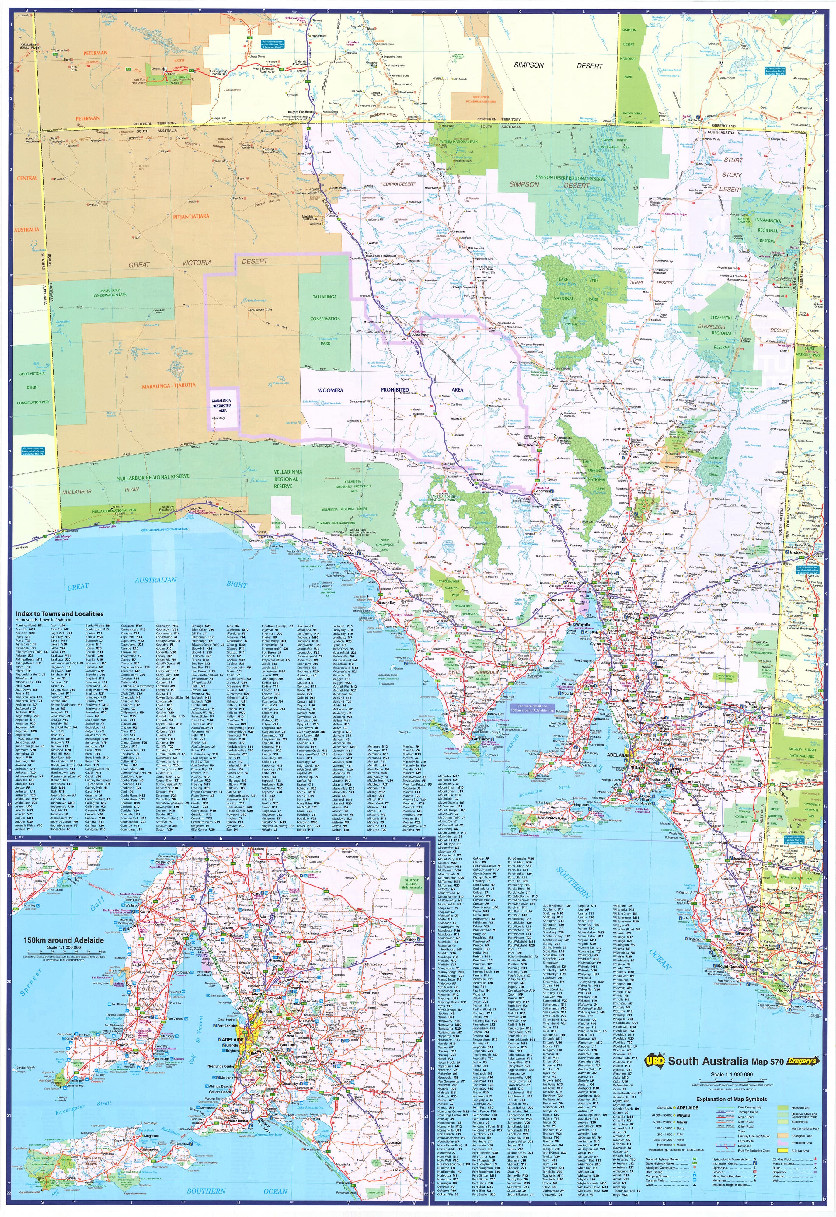
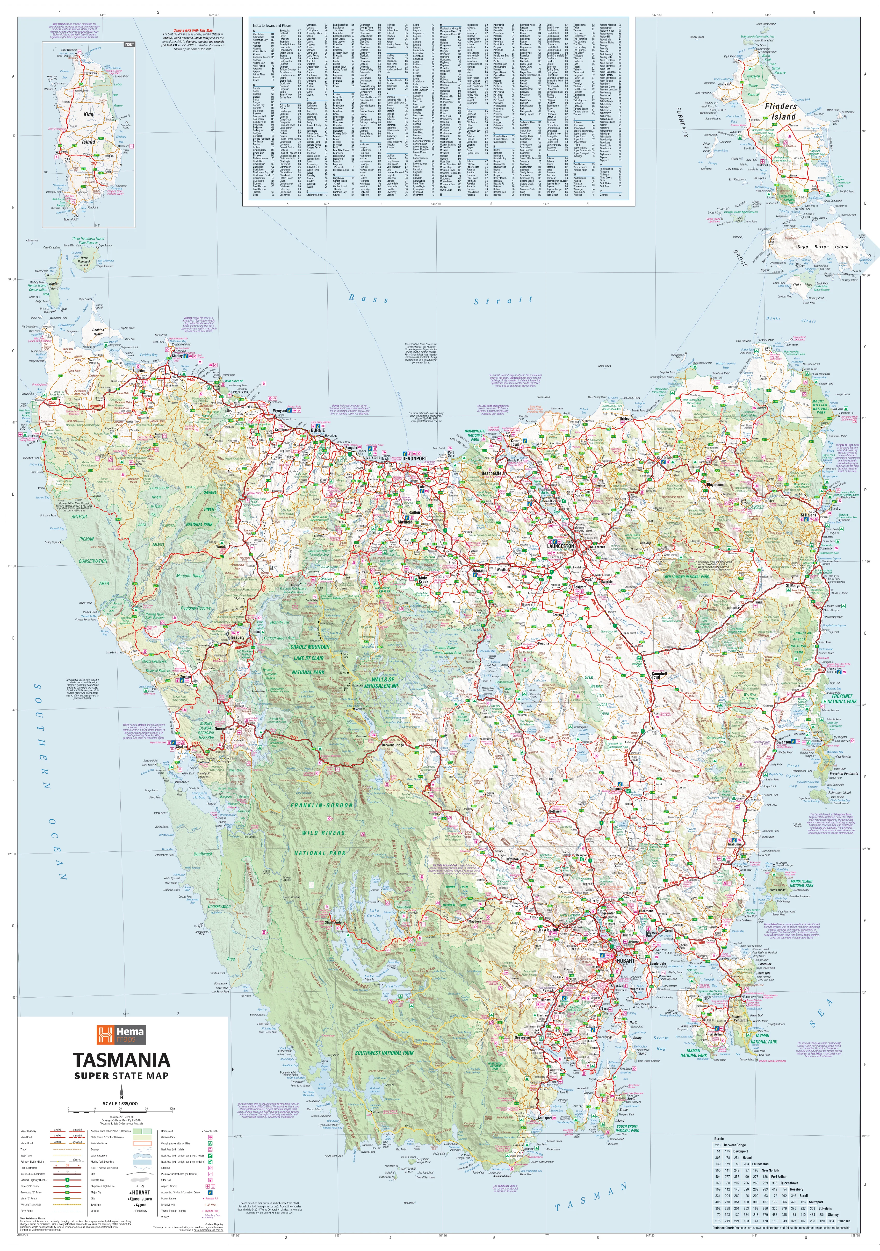
The UBD Northern Territory State Map is a large-format, fully laminated wall map offering a comprehensive overview of Australia’s vast Top End. With a generous size of 850 mm x 1480 mm, this highly detailed map covers towns, cities, homesteads, road networks, and natural reserves, making it an indispensable reference for travellers, planners, educators, and professionals.
Whether you're mapping a journey through Kakadu, planning logistics across the Stuart Highway, or simply looking for a visually engaging representation of the NT, this map is both practical and aesthetically impressive.
🌟 Key Features
| ✅ Feature | 📝 Description |
|---|---|
| 📍 Full Territory Coverage | Covers all of the Northern Territory, from Alice Springs to Darwin, Arnhem Land, and the Barkly Tablelands |
| 🏙️ Detailed Urban & Rural Mapping | Includes towns, cities, homesteads, highways, dual carriageways, and key road routes |
| 🛣️ National Highways & Route Numbers | Clearly marked highways, national/state routes, and distances between centres |
| 🌿 Parks & Protected Areas | Identifies national parks, nature reserves, and Aboriginal land boundaries |
| 🧷 Index & Map Labels | Easy-to-read labels and comprehensive reference grid for practical use in planning or education |
🛡️ Laminated for Durability
Encapsulated in high-quality gloss laminate, this map is:
-
✏️ Dry-erasable – Use whiteboard markers to plan routes or highlight key areas
-
📍 Map-dot friendly – Apply stickers or markers without damaging the surface
-
💧 Tear-resistant & water-resistant – Built for long-term display in any setting
Perfect for classrooms, offices, tour businesses, or anyone needing a reliable and attractive NT reference.
📐 Specifications
| Specification | Details |
|---|---|
| Publisher | UBD Gregory’s |
| Edition | UBD Map 571 |
| Scale | 1:2,000,000 |
| Map Type | Single-sided, laminated wall map |
| Size | 850 mm (W) x 1480 mm (H) |
| Print Material | Printed on high-quality paper and fully laminated (80-micron gloss) |
| Orientation | Portrait |
| Made in | Australia |
🧭 Ideal For
| Use Case | Why It Works |
|---|---|
| 🏞️ Tourism Operators | Showcase routes and regions of the NT for customers |
| 📚 Educators & Students | Use as a large visual aid in geography or Australian studies |
| 🚛 Logistics & Business | Plan freight, travel, or sales zones in regional and remote NT |
| 🏠 Home or Office Decor | A beautiful statement piece for any NT enthusiast or professional |
This oversized wall map of the Northern Territory offers a stunning representation of Australia’s rugged and remote north—ideal for navigation, planning, or simply admiring the vast expanse of one of the world’s most captivating regions.
Original: $246.84
-65%$246.84
$86.39Product Information
Product Information
Shipping & Returns
Shipping & Returns
Description
A Stunning and Functional Wall Map of the Northern Territory – Ideal for Travel, Education & Business Planning
The UBD Northern Territory State Map is a large-format, fully laminated wall map offering a comprehensive overview of Australia’s vast Top End. With a generous size of 850 mm x 1480 mm, this highly detailed map covers towns, cities, homesteads, road networks, and natural reserves, making it an indispensable reference for travellers, planners, educators, and professionals.
Whether you're mapping a journey through Kakadu, planning logistics across the Stuart Highway, or simply looking for a visually engaging representation of the NT, this map is both practical and aesthetically impressive.
🌟 Key Features
| ✅ Feature | 📝 Description |
|---|---|
| 📍 Full Territory Coverage | Covers all of the Northern Territory, from Alice Springs to Darwin, Arnhem Land, and the Barkly Tablelands |
| 🏙️ Detailed Urban & Rural Mapping | Includes towns, cities, homesteads, highways, dual carriageways, and key road routes |
| 🛣️ National Highways & Route Numbers | Clearly marked highways, national/state routes, and distances between centres |
| 🌿 Parks & Protected Areas | Identifies national parks, nature reserves, and Aboriginal land boundaries |
| 🧷 Index & Map Labels | Easy-to-read labels and comprehensive reference grid for practical use in planning or education |
🛡️ Laminated for Durability
Encapsulated in high-quality gloss laminate, this map is:
-
✏️ Dry-erasable – Use whiteboard markers to plan routes or highlight key areas
-
📍 Map-dot friendly – Apply stickers or markers without damaging the surface
-
💧 Tear-resistant & water-resistant – Built for long-term display in any setting
Perfect for classrooms, offices, tour businesses, or anyone needing a reliable and attractive NT reference.
📐 Specifications
| Specification | Details |
|---|---|
| Publisher | UBD Gregory’s |
| Edition | UBD Map 571 |
| Scale | 1:2,000,000 |
| Map Type | Single-sided, laminated wall map |
| Size | 850 mm (W) x 1480 mm (H) |
| Print Material | Printed on high-quality paper and fully laminated (80-micron gloss) |
| Orientation | Portrait |
| Made in | Australia |
🧭 Ideal For
| Use Case | Why It Works |
|---|---|
| 🏞️ Tourism Operators | Showcase routes and regions of the NT for customers |
| 📚 Educators & Students | Use as a large visual aid in geography or Australian studies |
| 🚛 Logistics & Business | Plan freight, travel, or sales zones in regional and remote NT |
| 🏠 Home or Office Decor | A beautiful statement piece for any NT enthusiast or professional |
This oversized wall map of the Northern Territory offers a stunning representation of Australia’s rugged and remote north—ideal for navigation, planning, or simply admiring the vast expanse of one of the world’s most captivating regions.