🚚 Free Worldwide Shipping on All Orders!Shop Now

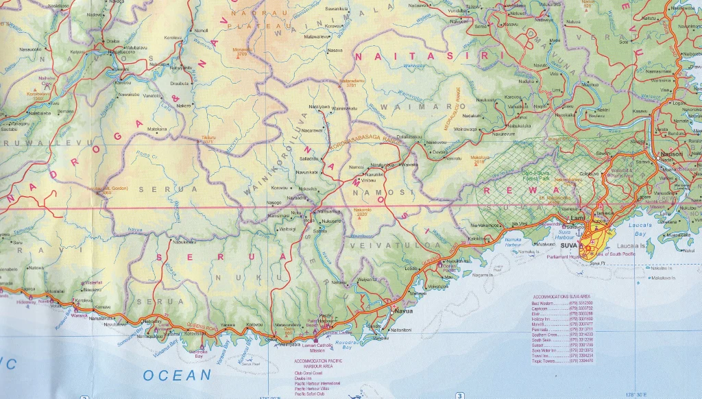
Oceania Wall Map showing Economic Exclusion Zones (EEZ) 1000 x 700mm
A detailed wall map of Oceania showing the Economic Exclusion Zones of the various countries.
- Massive Coverage: The 22 Pacific Island Countries and Territories manage roughly 20% of the world's total EEZs.
- Sovereign Rights: Nations have the exclusive right to manage living resources (fish) and non-living resources (minerals, oil, gas) in the water and on the seabed.
- Blue Pacific Continent: These zones define the "Blue Pacific," transforming small island states into large ocean states.
- Overlapping Zones: Due to the close proximity of islands, many EEZs overlap, requiring treaties to fix boundaries.
Source: Wikimedia, Wikipedia
Select Finish
From $20.02
Original: $57.20
-65%Oceania Wall Map showing Economic Exclusion Zones (EEZ) 1000 x 700mm—
$57.20
$20.02Product Information
Product Information
Shipping & Returns
Shipping & Returns
Description
A detailed wall map of Oceania showing the Economic Exclusion Zones of the various countries.
- Massive Coverage: The 22 Pacific Island Countries and Territories manage roughly 20% of the world's total EEZs.
- Sovereign Rights: Nations have the exclusive right to manage living resources (fish) and non-living resources (minerals, oil, gas) in the water and on the seabed.
- Blue Pacific Continent: These zones define the "Blue Pacific," transforming small island states into large ocean states.
- Overlapping Zones: Due to the close proximity of islands, many EEZs overlap, requiring treaties to fix boundaries.
Source: Wikimedia, Wikipedia