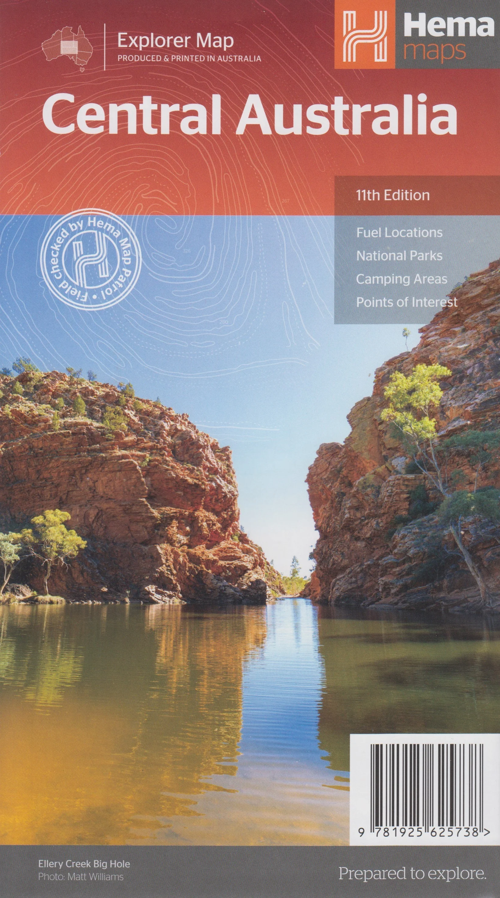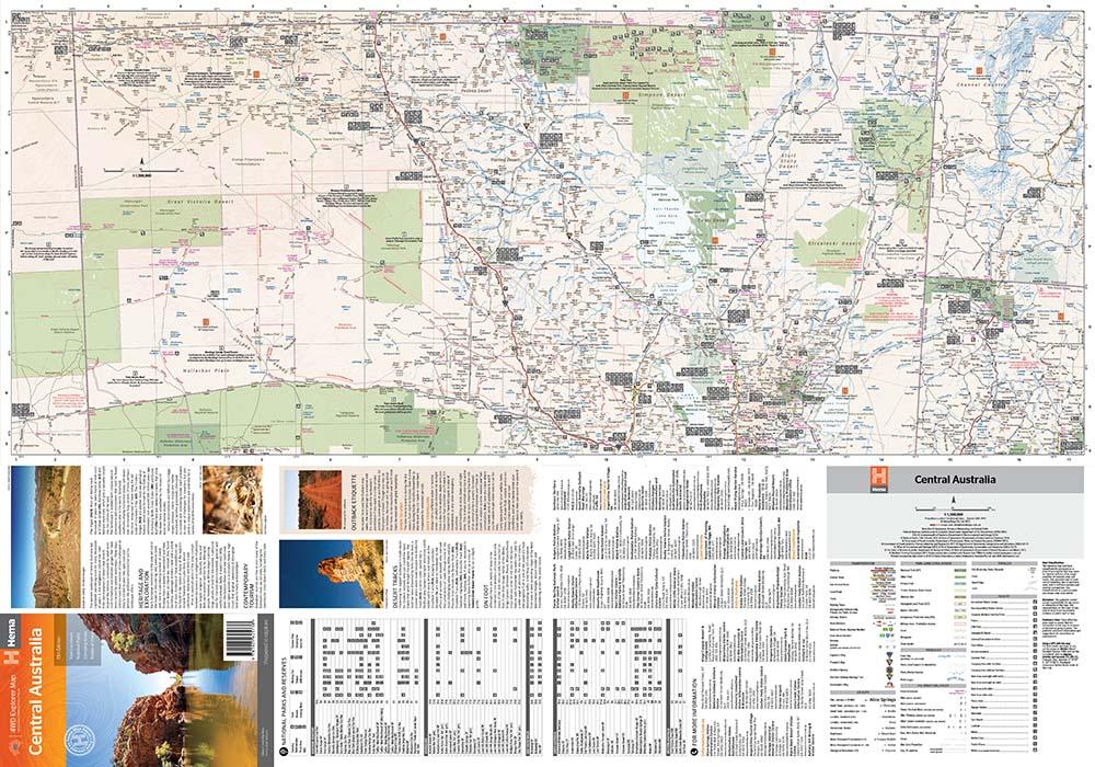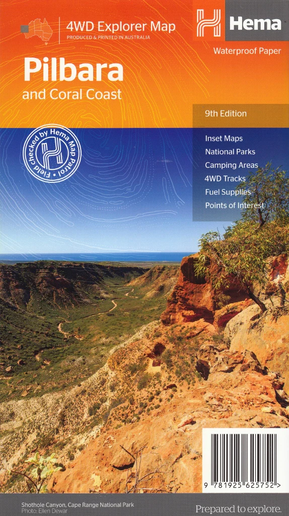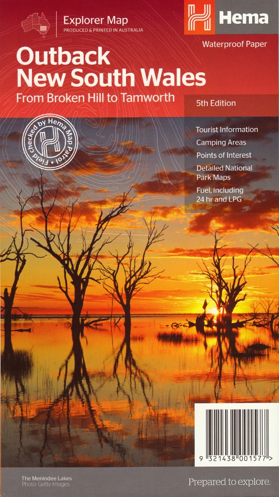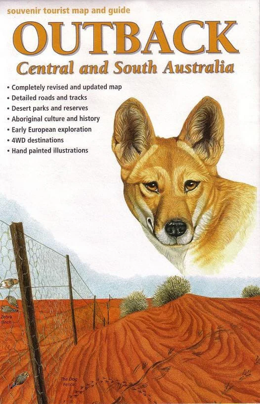
Outback Central & South Australia Cartographics Map
Explore the Heart of Australia — From the Red Centre to the Remote South
🧭 Fully Updated Edition | 🚙 4WD Tracks & Touring Routes | 🎨 Hand-Painted Illustrations
Scale: 1:1,500,000 | Covers: NT, SA, NSW & QLD Border Regions
Vast, bold, and spectacularly remote—the outback landscapes of Central and South Australia are unlike anywhere else on Earth. This adventure-ready map from Carto Graphics is your essential companion for discovering everything from the Great Victoria Desert to Alice Springs, from ancient Aboriginal lands to remote 4WD tracks winding through red dunes, salt lakes, and sun-scorched gibber plains.
Whether you’re a road-tripper, 4WD enthusiast, overlander, or armchair adventurer, this large-format, feature-rich map offers practical navigation and rich cultural context to help you journey deeper.
✅ Key Features
🚙 Detailed Road & Track Mapping
-
Up-to-date highways, back roads, and 4WD tracks
-
Clearly marked distances and major junctions
-
Perfect for outback touring, overlanding and expedition planning
📍 Covers a Vast Territory
-
West to the Great Victoria Desert
-
North to Alice Springs and the Red Centre
-
East to the borders of New South Wales and Southern Queensland
🏞️ Parks, Reserves & Natural Landmarks
-
Desert parks, remote conservation areas, and state reserves
-
Access points to iconic destinations like the Simpson Desert, Coober Pedy, and Lake Eyre
🖼️ Stunning Hand-Painted Illustrations
-
Artist-rendered landmarks, wildlife, and scenery throughout the map
-
A beautiful fusion of cartography and artwork — ideal for wall display
🪃 Cultural & Historical Insights
-
Aboriginal culture and heritage sites marked and explained
-
Early European exploration routes and expedition paths
📐 Specifications
| Feature | Details |
|---|---|
| Publisher | Carto Graphics |
| Map Title | Outback Central & South Australia |
| Scale | 1:1,500,000 |
| Map Type | Road, track & tourism map |
| Print Quality | Full-colour, high-resolution |
| Material | Folded paper or laminated (optional) |
| Size (Flat) | Large format for maximum legibility |
| Edition | Fully revised and updated |
🏕️ Perfect For:
✔️ Planning remote 4WD expeditions across the outback
✔️ Grey nomads, vanlifers, and off-grid explorers
✔️ Learning about Aboriginal culture and early European explorers
✔️ Map collectors and lovers of illustrated cartography
✔️ Displaying as a functional artwork in caravans, offices, or homes
🛒 Add to Cart Now – and set out on the ultimate outback adventure. With this beautifully detailed and culturally rich map, the vast, ancient heart of Australia is yours to explore—track by track, dune by dune, dream by dream.
Original: $10.70
-65%$10.70
$3.74Product Information
Product Information
Shipping & Returns
Shipping & Returns
Description
Explore the Heart of Australia — From the Red Centre to the Remote South
🧭 Fully Updated Edition | 🚙 4WD Tracks & Touring Routes | 🎨 Hand-Painted Illustrations
Scale: 1:1,500,000 | Covers: NT, SA, NSW & QLD Border Regions
Vast, bold, and spectacularly remote—the outback landscapes of Central and South Australia are unlike anywhere else on Earth. This adventure-ready map from Carto Graphics is your essential companion for discovering everything from the Great Victoria Desert to Alice Springs, from ancient Aboriginal lands to remote 4WD tracks winding through red dunes, salt lakes, and sun-scorched gibber plains.
Whether you’re a road-tripper, 4WD enthusiast, overlander, or armchair adventurer, this large-format, feature-rich map offers practical navigation and rich cultural context to help you journey deeper.
✅ Key Features
🚙 Detailed Road & Track Mapping
-
Up-to-date highways, back roads, and 4WD tracks
-
Clearly marked distances and major junctions
-
Perfect for outback touring, overlanding and expedition planning
📍 Covers a Vast Territory
-
West to the Great Victoria Desert
-
North to Alice Springs and the Red Centre
-
East to the borders of New South Wales and Southern Queensland
🏞️ Parks, Reserves & Natural Landmarks
-
Desert parks, remote conservation areas, and state reserves
-
Access points to iconic destinations like the Simpson Desert, Coober Pedy, and Lake Eyre
🖼️ Stunning Hand-Painted Illustrations
-
Artist-rendered landmarks, wildlife, and scenery throughout the map
-
A beautiful fusion of cartography and artwork — ideal for wall display
🪃 Cultural & Historical Insights
-
Aboriginal culture and heritage sites marked and explained
-
Early European exploration routes and expedition paths
📐 Specifications
| Feature | Details |
|---|---|
| Publisher | Carto Graphics |
| Map Title | Outback Central & South Australia |
| Scale | 1:1,500,000 |
| Map Type | Road, track & tourism map |
| Print Quality | Full-colour, high-resolution |
| Material | Folded paper or laminated (optional) |
| Size (Flat) | Large format for maximum legibility |
| Edition | Fully revised and updated |
🏕️ Perfect For:
✔️ Planning remote 4WD expeditions across the outback
✔️ Grey nomads, vanlifers, and off-grid explorers
✔️ Learning about Aboriginal culture and early European explorers
✔️ Map collectors and lovers of illustrated cartography
✔️ Displaying as a functional artwork in caravans, offices, or homes
🛒 Add to Cart Now – and set out on the ultimate outback adventure. With this beautifully detailed and culturally rich map, the vast, ancient heart of Australia is yours to explore—track by track, dune by dune, dream by dream.