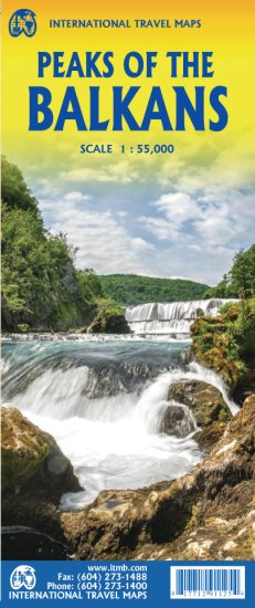
Albania • Montenegro • Kosovo • Double-Sided Trekking Map
For walkers drawn to Europe’s last truly wild mountain frontiers, the Peaks of the Balkans ITMB Map is a compelling companion. This specialist map focuses on one of the continent’s most exciting long-distance hiking regions — a high alpine landscape of limestone ridges, shepherd valleys, borderland villages, and remote passes stretching across Albania, Montenegro, and Kosovo. ITMB publishes a broader Balkans travel map, but this edition narrows the lens to the mountain trails themselves, reflecting the growing demand for maps built specifically for trekkers and alpine adventurers.
🏔 A Map for One of Europe’s Great Emerging Trekking Regions
The Peaks of the Balkans Trail is a cross-border hiking network through the Accursed Mountains / Prokletije / Bjeshkët e Nemuna, connecting remote communities across Albania, Montenegro, and Kosovo. This map highlights those routes and the wider south-west Balkan mountain region where long-distance trails continue to develop, making it especially useful for travellers exploring beyond the main circuit.
This is a region that still feels adventurous: broad upland meadows, high passes, forested valleys, karst landscapes, and traditional settlements where walking remains one of the best ways to understand the country. For those wanting something less commercial than the classic Western European trekking routes, the Peaks of the Balkans offers exactly that.
🗺 What the Map Covers
Side 1 — Peaks of the Balkans Hiking Region
The primary side concentrates on the trekking heart of the region, with special emphasis on mountain walking routes across Albania and Montenegro, including the marked Peaks of the Balkans Trail and associated alpine paths. Overnight huts and shelters are shown where available, helping trekkers visualise stage planning and likely overnight zones.
Side 2 — South-Western Balkans Overview
The reverse side broadens out to the south-west Balkans, showing the wider regional context and the emerging network of longer-distance walking routes being developed across the area. This makes the map useful not only on the trail, but also during trip planning — especially for travellers stitching together multiple hikes, border crossings, or cultural stops across the wider region.
🥾 Why This Map Stands Out
Unlike a conventional road map, this title has been shaped around the needs of walkers and active travellers. The appeal lies in its balance: broad enough to show the regional setting, but focused enough to support trekking through one of Europe’s most rugged mountain zones. It is especially valuable for travellers who want to move between trailheads, refuges, villages, and national park areas without relying entirely on phone navigation.
Key mapped features include:
-
Long-distance hiking routes
-
Overnight huts / mountain shelters
-
Roads by classification
-
Highways and main roads
-
Rivers and lakes
-
National parks
-
Airports
-
Points of interest
-
Recreational features including fishing and other attractions listed in the legend
🌍 Built for Independent Travel
This is an ideal map for travellers who like to plan their own route, adjust stages as conditions change, and better understand the geography around them. The wider Balkans have become a strong European travel destination in recent years, and this map reflects a parallel rise in interest in slower, more immersive travel — particularly hut-to-hut walking and cross-border trekking.
It works well for:
-
Multi-day trekkers tackling the Peaks of the Balkans Trail
-
Independent hikers exploring Albania, Montenegro, or Kosovo
-
Adventure travellers building broader Balkan itineraries
-
Outdoor educators and trip leaders
-
Collectors of specialist European hiking maps
📐 Specifications
| Feature | Detail |
|---|---|
| Title | Peaks of the Balkans |
| Publisher | ITMB Publishing |
| Format | Folded, double-sided hiking & travel map |
| Scale | 1:55,000 / 1:2,750,000 |
| ISBN | 9781771291125 |
| Coverage | Peaks of the Balkans Trail region + south-western Balkans overview |
| Language | English |
🎯 Perfect For
-
Long-distance hikers
-
Hut-to-hut walkers
-
Balkan adventure travellers
-
Mountain travellers seeking lesser-known European routes
-
Anyone wanting a clearer geographic understanding of the Albania–Montenegro–Kosovo borderlands
✨ A Strong Choice for Balkan Trekking
The Peaks of the Balkans ITMB Map is more than a general regional map — it is a purpose-built aid for travellers exploring one of Europe’s most rewarding alpine walking landscapes. If your journey includes mountain paths, border crossings, remote villages, and high-country nights, this is the map that helps bring the whole region into focus.


