Perth & Region Hema 700 x 1000mm Paper Wall Map
A Highly Detailed and Business-Ready Wall Map of Greater Perth
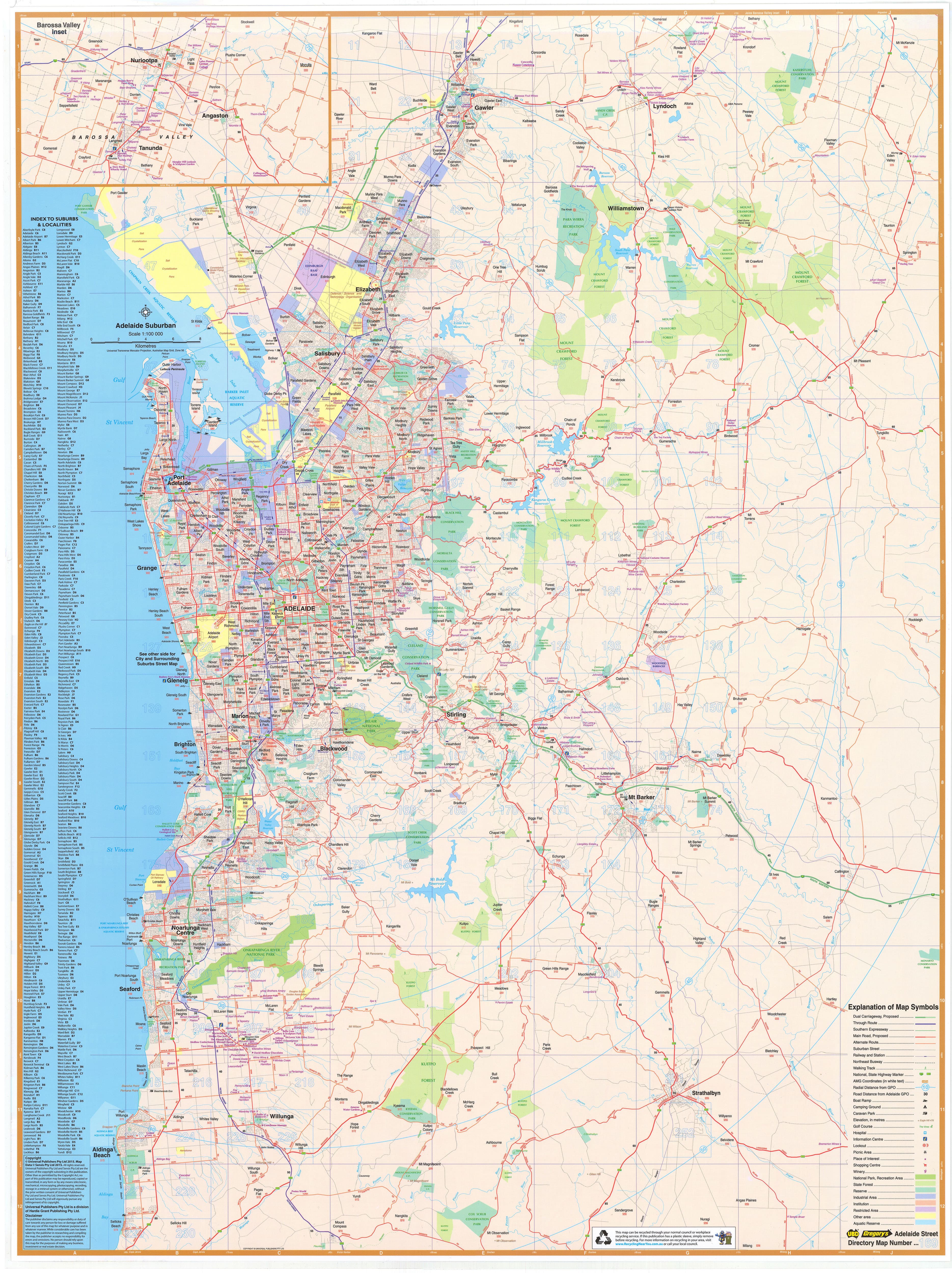
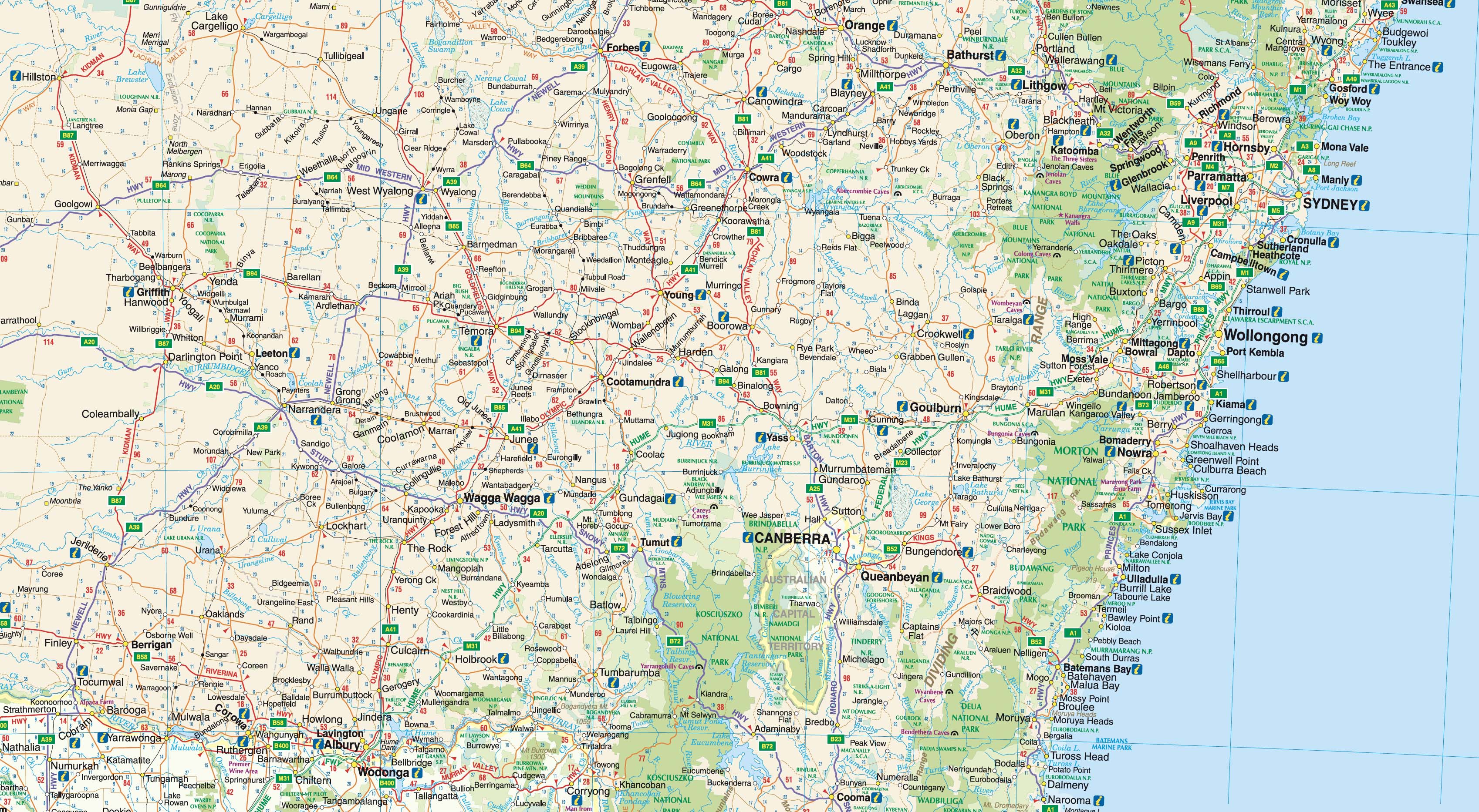
Plan, navigate, or decorate with confidence using the Greater Perth Wall Map by Hema—a detailed, full-colour wall map covering metropolitan Perth and its surrounding regions. Extending from Quinns Rocks in the north to Safety Bay in the south, and reaching east to Mundaring, this map offers a comprehensive view of the Perth metro area with a high level of cartographic detail.
Designed with clarity and usability in mind, the map includes:
-
All major and secondary roads
-
Metropolitan routes, state and national route numbers
-
Current and future freeway corridors
-
Clearly marked postcode boundaries—an invaluable addition for sales teams, logistics planning, or delivery route mapping
Whether for office use, logistics coordination, retail planning, or home reference, this easy-to-read map makes a smart and professional addition to any wall.
🗺️ Map Features
-
Covers the full Greater Perth area from coast to hills
-
Shows all primary, secondary, and connecting roads
-
Includes route numbers, metropolitan roads, and planned freeway developments
-
Postcode boundaries are clearly defined—ideal for service areas and delivery zones
-
Updated cartography from Hema Maps, Australia’s trusted name in mapping
📐 Specifications
| Feature | Details |
|---|---|
| Map Title | Perth & Region Wall Map by Hema |
| Scale | 1:80,000 |
| Size | 700mm wide x 1000mm high |
| Format | Printed on high-quality 160gsm paper |
| Ideal Use | Business planning, office display, logistics, education, real estate, local government |
🖼️ Premium Paper Finish
This edition is printed on durable 160gsm matte paper, offering crisp detail, vibrant colour, and a smooth finish. It is:
-
Perfect for framing under glass
-
Lightweight and easy to mount
-
Ideal for high-visibility wall display in both commercial and personal spaces
✅ Why Choose This Map?
| Benefit | Description |
|---|---|
| Business-Ready | Includes postcode boundaries for delivery planning, marketing, and sales territories |
| Updated & Accurate | Features current and future transport infrastructure |
| Professional Format | Large format (700 x 1000mm) for clear visibility at a glance |
| High-Quality Paper | Designed for presentation, planning, and long-term display |
| Printed in Australia | Produced by Hema Maps, specialists in local and regional cartography |
📦 Shipping & Packaging
-
Shipped rolled in a protective mailing tube
-
Ready for custom or off-the-shelf framing
-
Express and international shipping options available at checkout
Whether you're managing delivery zones, planning routes, or simply want a clear and beautifully printed map of Greater Perth, the Perth & Region Wall Map by Hema is a reliable, attractive, and practical solution for home and business use alike.
Original: $64.36
-65%$64.36
$22.53Product Information
Product Information
Shipping & Returns
Shipping & Returns
Description
A Highly Detailed and Business-Ready Wall Map of Greater Perth
Plan, navigate, or decorate with confidence using the Greater Perth Wall Map by Hema—a detailed, full-colour wall map covering metropolitan Perth and its surrounding regions. Extending from Quinns Rocks in the north to Safety Bay in the south, and reaching east to Mundaring, this map offers a comprehensive view of the Perth metro area with a high level of cartographic detail.
Designed with clarity and usability in mind, the map includes:
-
All major and secondary roads
-
Metropolitan routes, state and national route numbers
-
Current and future freeway corridors
-
Clearly marked postcode boundaries—an invaluable addition for sales teams, logistics planning, or delivery route mapping
Whether for office use, logistics coordination, retail planning, or home reference, this easy-to-read map makes a smart and professional addition to any wall.
🗺️ Map Features
-
Covers the full Greater Perth area from coast to hills
-
Shows all primary, secondary, and connecting roads
-
Includes route numbers, metropolitan roads, and planned freeway developments
-
Postcode boundaries are clearly defined—ideal for service areas and delivery zones
-
Updated cartography from Hema Maps, Australia’s trusted name in mapping
📐 Specifications
| Feature | Details |
|---|---|
| Map Title | Perth & Region Wall Map by Hema |
| Scale | 1:80,000 |
| Size | 700mm wide x 1000mm high |
| Format | Printed on high-quality 160gsm paper |
| Ideal Use | Business planning, office display, logistics, education, real estate, local government |
🖼️ Premium Paper Finish
This edition is printed on durable 160gsm matte paper, offering crisp detail, vibrant colour, and a smooth finish. It is:
-
Perfect for framing under glass
-
Lightweight and easy to mount
-
Ideal for high-visibility wall display in both commercial and personal spaces
✅ Why Choose This Map?
| Benefit | Description |
|---|---|
| Business-Ready | Includes postcode boundaries for delivery planning, marketing, and sales territories |
| Updated & Accurate | Features current and future transport infrastructure |
| Professional Format | Large format (700 x 1000mm) for clear visibility at a glance |
| High-Quality Paper | Designed for presentation, planning, and long-term display |
| Printed in Australia | Produced by Hema Maps, specialists in local and regional cartography |
📦 Shipping & Packaging
-
Shipped rolled in a protective mailing tube
-
Ready for custom or off-the-shelf framing
-
Express and international shipping options available at checkout
Whether you're managing delivery zones, planning routes, or simply want a clear and beautifully printed map of Greater Perth, the Perth & Region Wall Map by Hema is a reliable, attractive, and practical solution for home and business use alike.