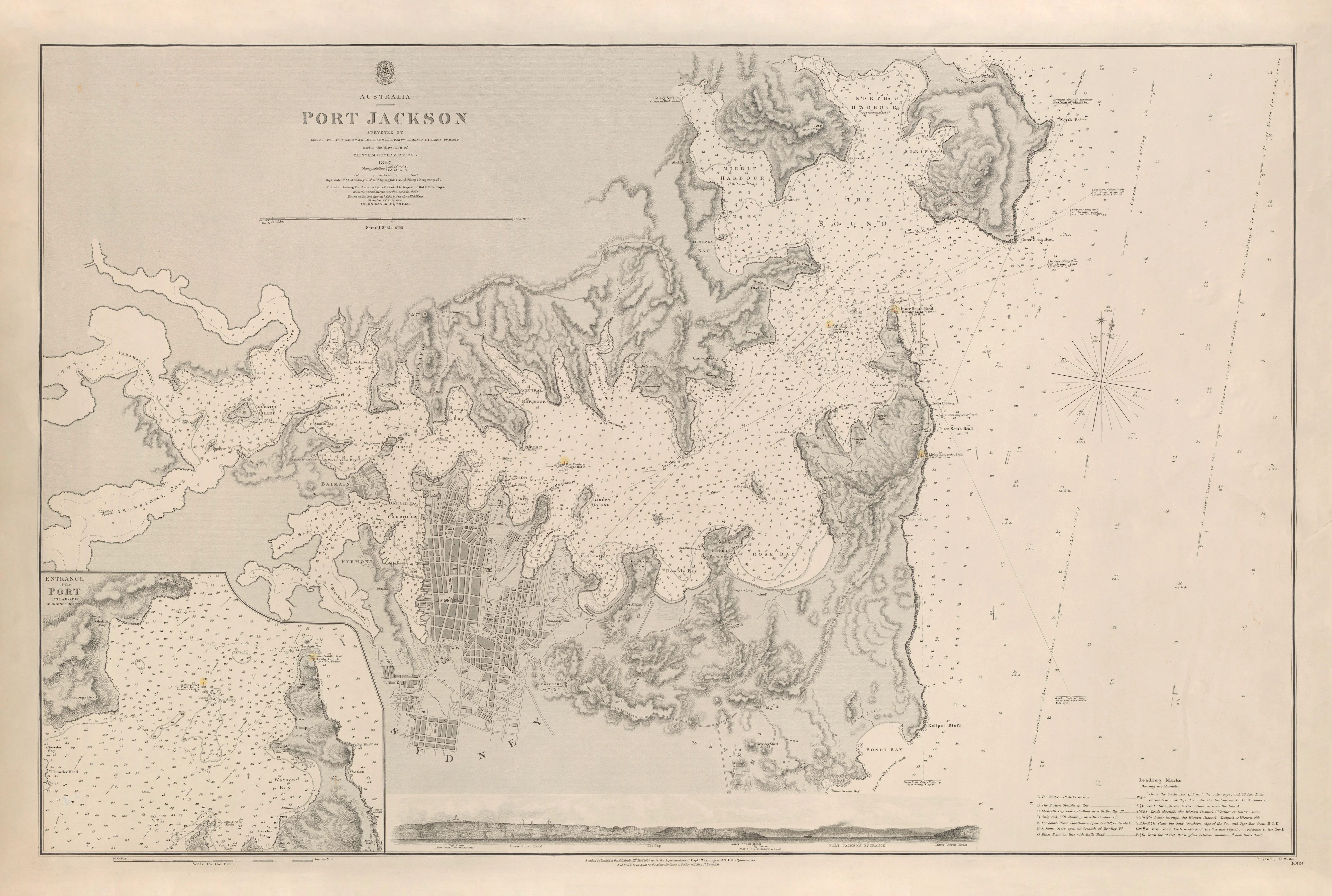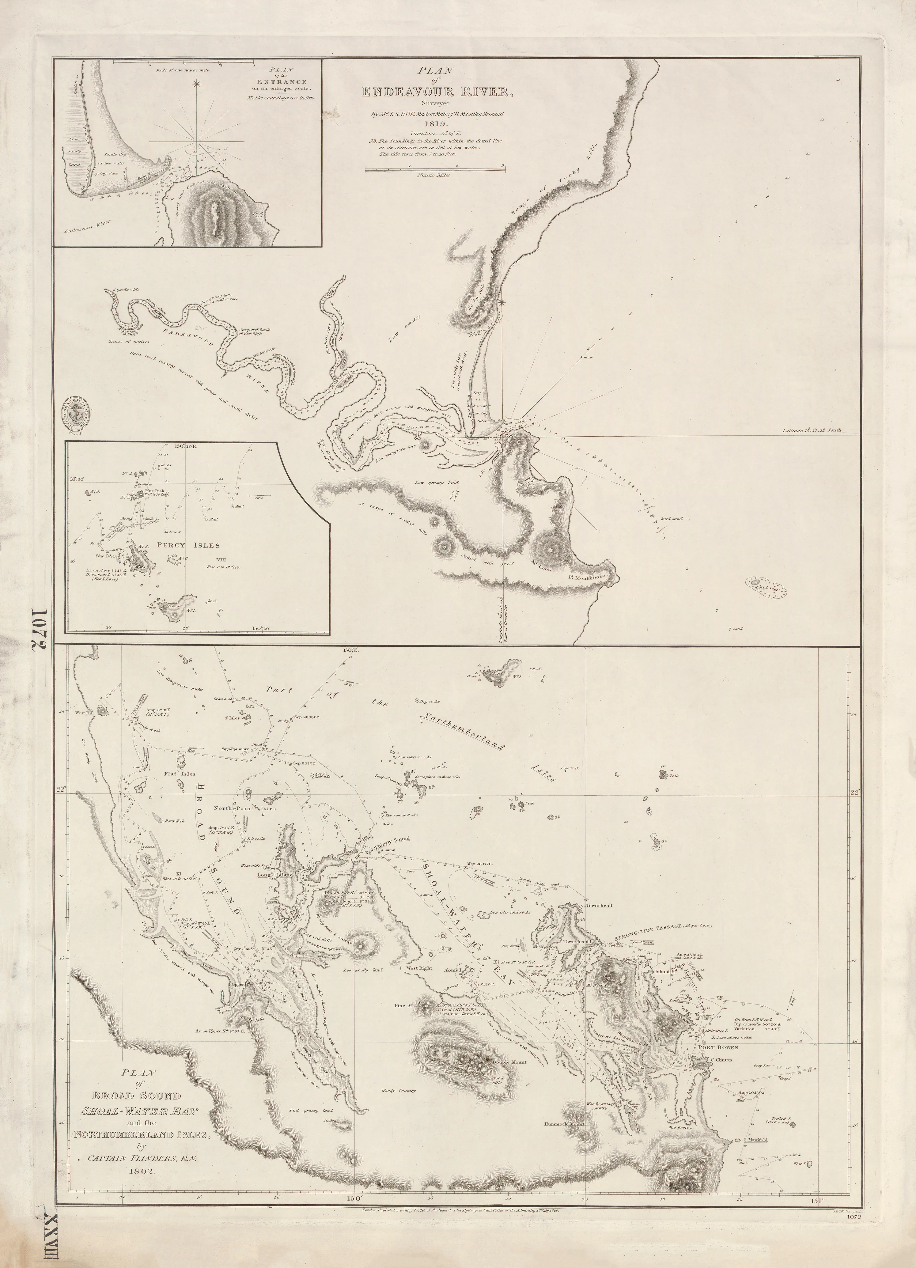
Plan of Endeavour River & Broad Sound — Shoal-Water Bay and the Northumberland Isles (1802–1819)
From Cook’s landing place to Flinders’ great coastal surveys
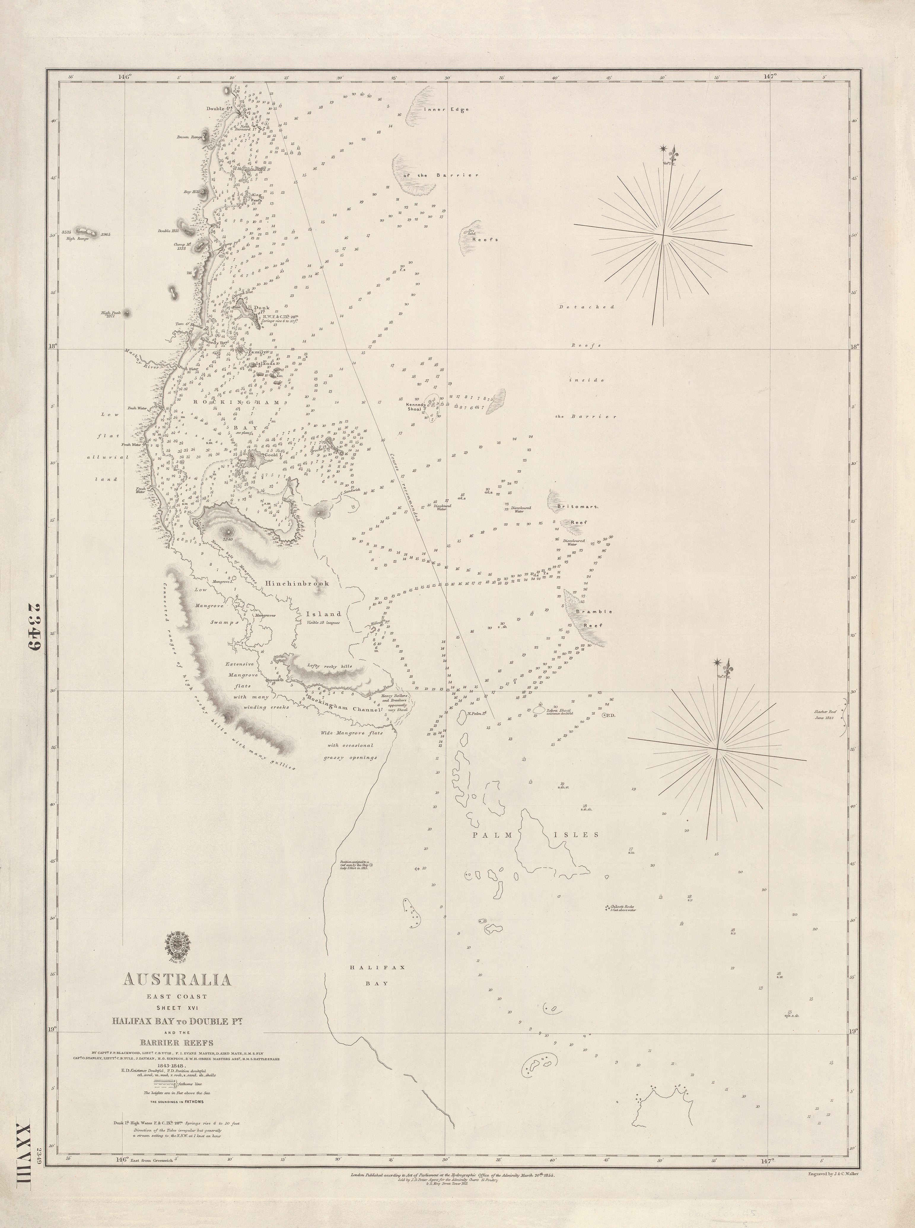
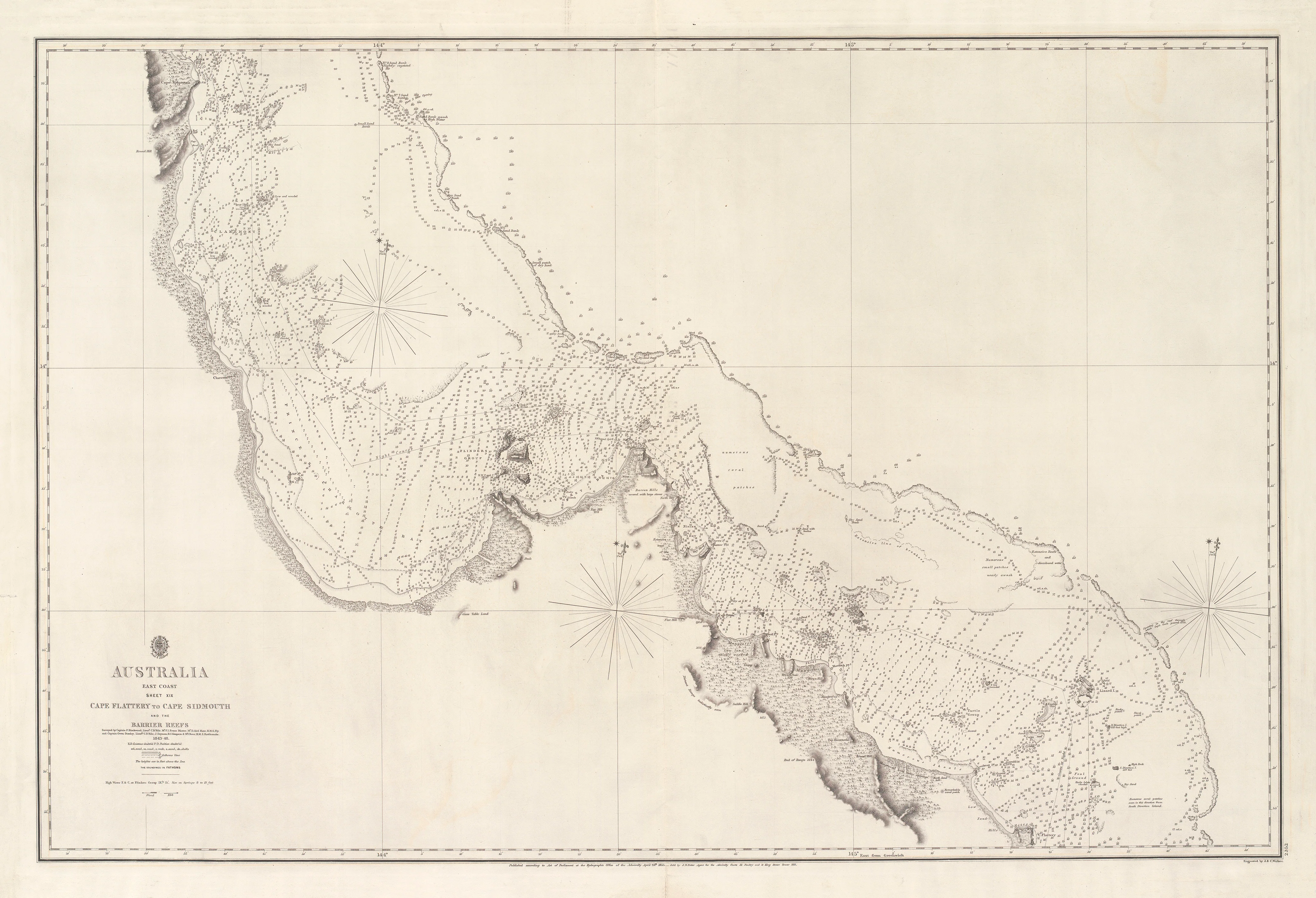
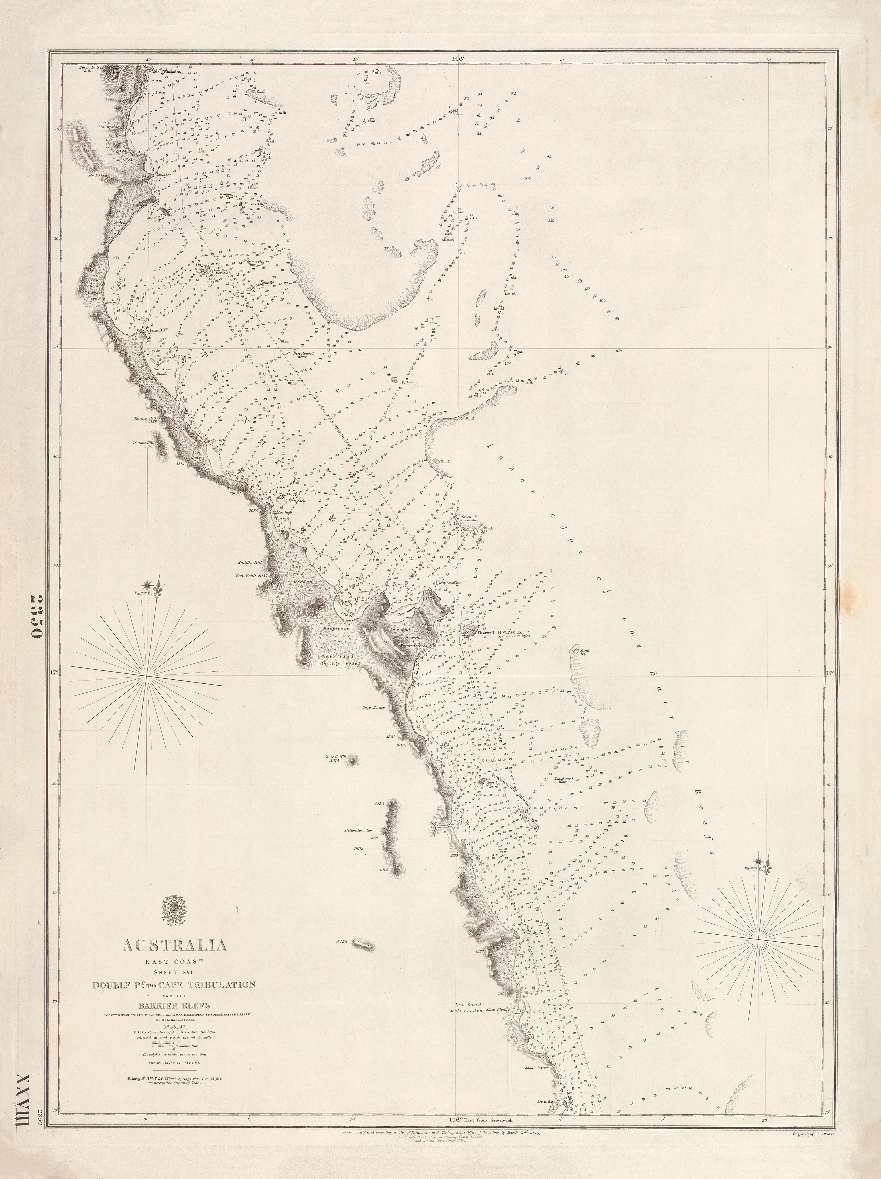
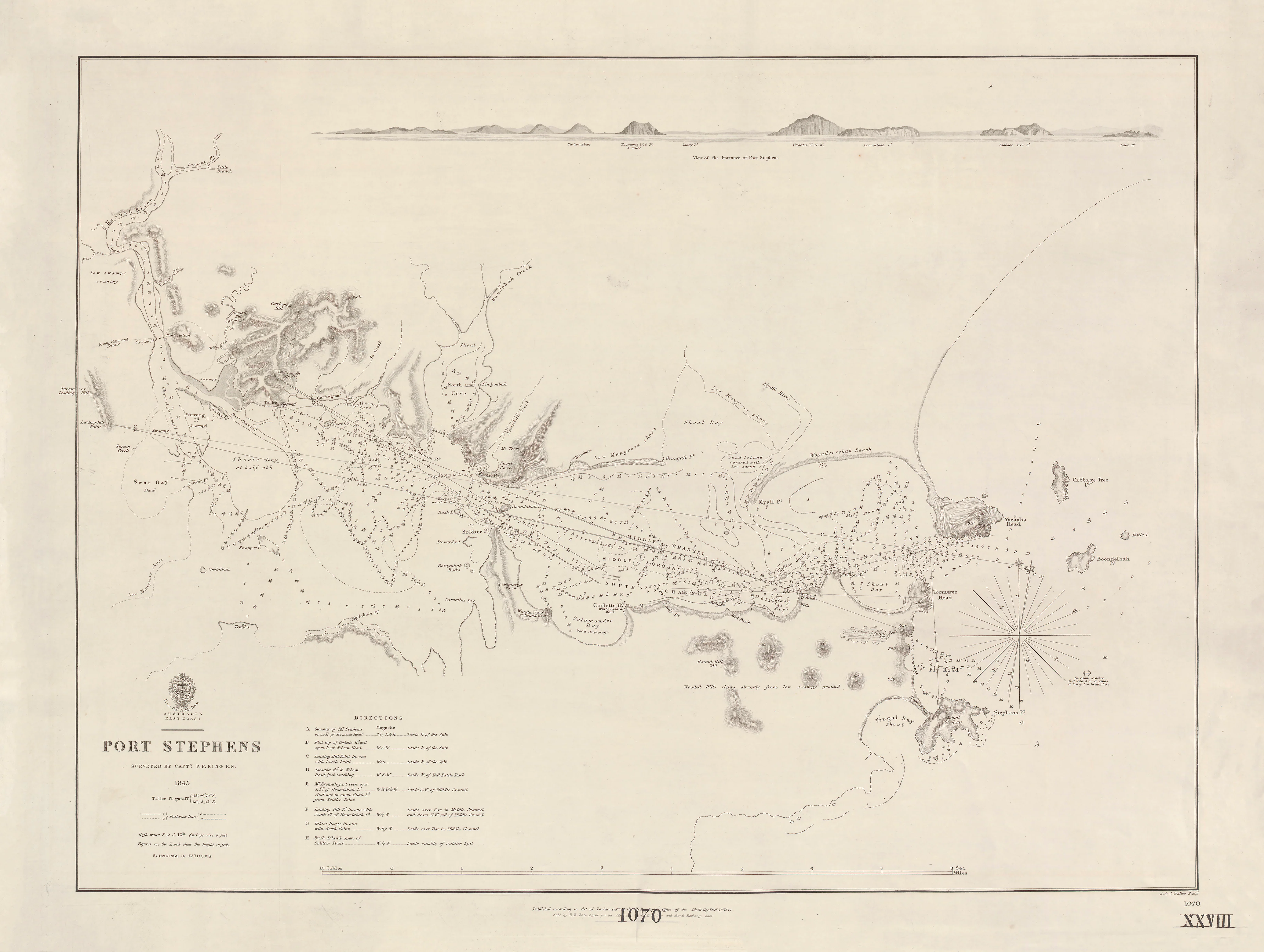
This exceptional British Admiralty composite chart brings together two of the most historically resonant surveys on Australia’s east coast: Endeavour River, where Captain Cook careened the Endeavour in 1770, and the vast, intricate waters of Broad Sound and Shoal-Water Bay, charted by Matthew Flinders during his circumnavigation of the continent.
Published in 1826, the sheet combines:
-
the Plan of Endeavour River, surveyed in 1819 by John Septimus Roe, and
-
Flinders’ 1802 survey of Broad Sound, Shoal-Water Bay and the Northumberland Isles,
all finely engraved by J. & C. Walker for the British Admiralty.
This is not one map, but a narrative of exploration in chart form.
⚓ What This Chart Shows
This rare Admiralty sheet presents two critical Queensland regions in precise navigational detail.
Endeavour River (Far North Queensland)
-
Detailed river plan and entrance (with enlarged inset)
-
Soundings, shoals and anchorages
-
The exact waters where Cook repaired the Endeavour
Broad Sound, Shoal-Water Bay & Northumberland Isles
-
Extensive bay system on the central Queensland coast
-
Island groups and reef-strewn passages
-
Flinders’ original survey framework
-
Percy Isles inset
Across both charts:
-
Bathymetric soundings and coastal hazards
-
Relief shown by Admiralty hachures
-
Greenwich prime meridian
This was the working intelligence that turned unknown coast into navigable sea.
🧭 Why This Chart Works
Most maps show a place.
This one shows how Australia was explored.
-
Direct association with Cook, Flinders and Roe
-
True British Admiralty production — authoritative and operational
-
Rare dual-survey composition on a single sheet
-
Original 1826 engraving from exploration-era data
-
Museum-grade historical significance
This chart links the moment of first contact with the age of systematic hydrography.
✨ Premium Finishes
Every Endeavour River & Broad Sound Admiralty Chart is printed in Australia using archival methods to preserve the fine engraving and historic character.
| Format | Description |
|---|---|
| 📜 Paper (160 gsm matte) | Smooth heavyweight archival paper with crisp line definition; ideal for framing under glass. |
| 🧼 Laminated (True Encapsulation) | 2 × 80-micron gloss laminate, edge-to-edge protection; tear-resistant and wipe-clean. |
| 🖼️ Canvas (395 gsm HP Professional Matte) | Pigment-based, fade-resistant inks for a warm, gallery-grade finish. |
| 🪵 Laminated + Timber Hang Rails | Natural timber rails with hanging cord; ready to hang. Allow up to 10 working days. |
| 🪵 Canvas + Timber Hang Rails | Elegant frameless presentation with lacquered natural timber rails. Allow up to 10 working days. |
📐 Size
722 mm (W) × 1000 mm (H)
A tall portrait format that balances the river-scale intimacy of Endeavour River with the sweeping coastal complexity of Broad Sound.
🎯 Ideal For
-
Australian exploration and maritime history collectors
-
Museums, libraries and universities
-
Queensland heritage and coastal interiors
-
Anyone fascinated by Cook, Flinders, and the making of Australia’s map
🤝 Our Commitment
-
Printed in Australia with professional colour management
-
Archival pigment inks for long-term colour stability
-
Premium laminates and canvas for durability
-
Natural timber hang rails for refined presentation
-
Hand-checked and carefully packed before dispatch
From Cook’s emergency anchorage to Flinders’ grand survey, this chart tells the story of Australia’s east coast.
Choose your finish and bring this remarkable Admiralty map into your space.