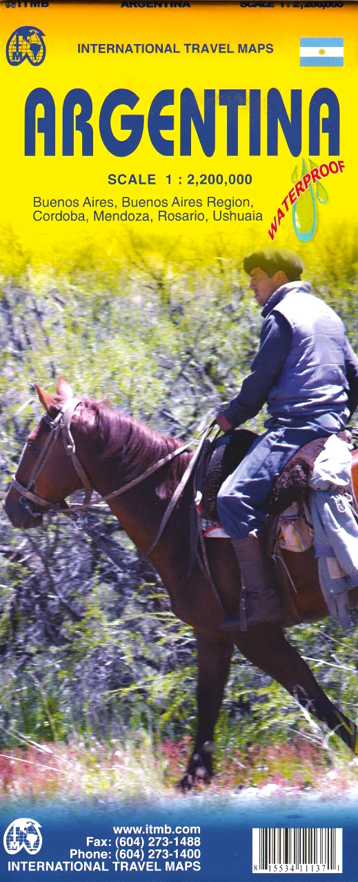
South America Classic National Geographic 599 x 770mm Wall Map
Size: 599 mm (w) x 770 mm (h) | Classic Style | Optional Lamination or Canvas Finish
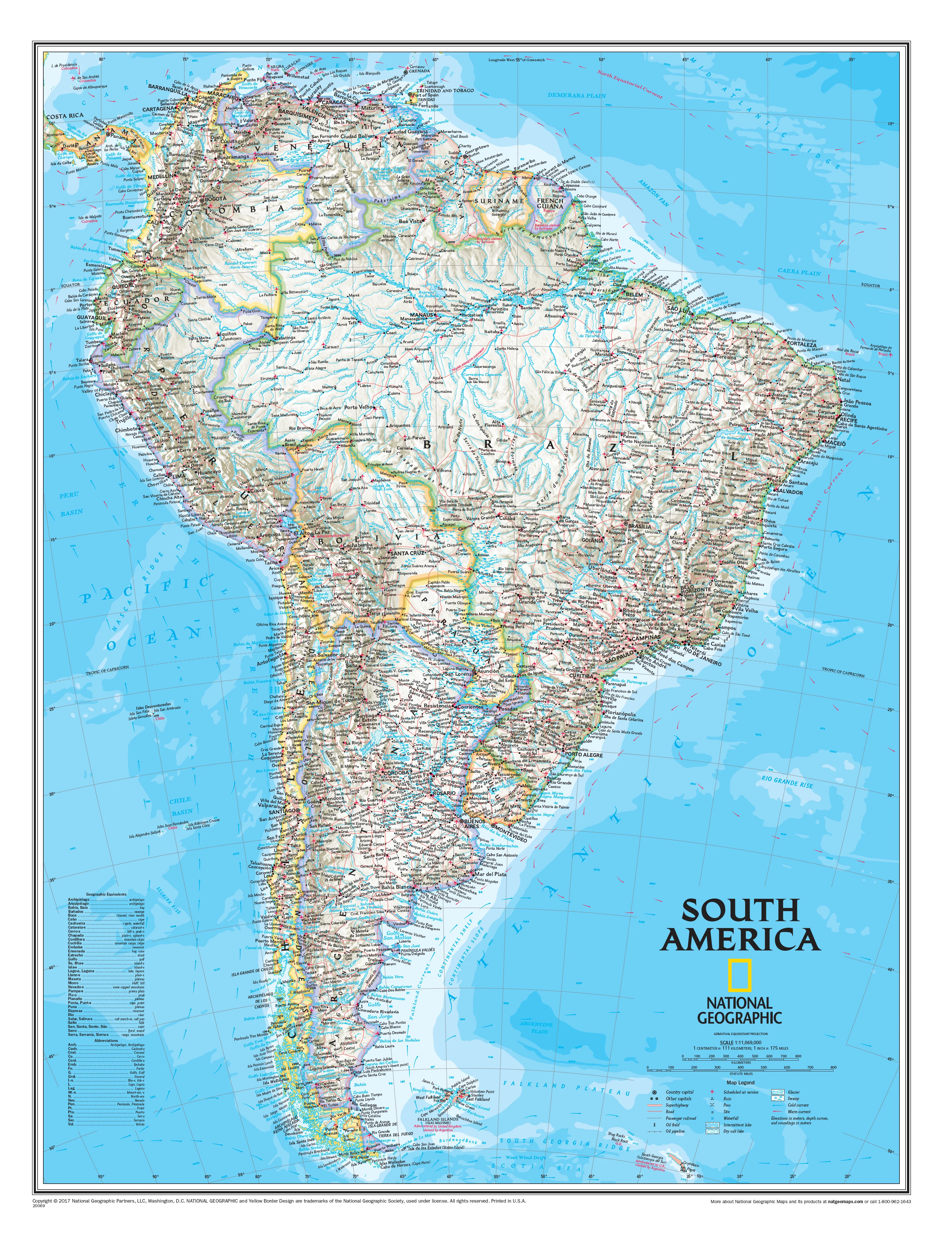
From the narrow waist of Panama to the windswept southern tip of Cape Horn, this South America Wall Map by National Geographic is both a visual masterpiece and an essential reference tool. Designed in the timeless Classic style, this map combines rich cartographic detail with vibrant aesthetics — ideal for classrooms, offices, or anyone with a fascination for this dynamic and diverse continent.
🌎 Features at a Glance
-
Classic National Geographic Styling:
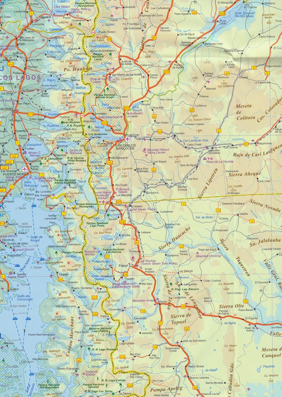
Uses the iconic bright blue oceans and refined colour palette that has defined National Geographic cartography for over 75 years. Elegant shaded relief brings South America's dramatic topography to life — from the towering Andes to the Amazon Basin and Patagonian steppes. -
Clear Political Detail:
National and regional boundaries are clearly marked, with legible labelling of countries, capitals, and major cities. Each country is distinctly coloured to assist visual clarity without overwhelming the natural geography. -
Geographic Features:
Includes mountain ranges, rivers, lakes, salt flats, deserts, and forests — all carefully annotated for educational and planning purposes. -
Oceanographic Data:
Currents, depth contours, soundings, and major ocean features are shown to provide context to the continent’s vast and varied coastline.
🏙️ Countries and Cities Included
The map highlights all major nations and urban centres across the continent, including:
-
🇦🇷 Argentina – from Buenos Aires to Tierra del Fuego
-
🇧🇴 Bolivia – including La Paz and the Andes region
-
🇧🇷 Brazil – with extensive coverage of the Amazon and Rio de Janeiro
-
🇨🇱 Chile – from Atacama to Punta Arenas
-
🇨🇴 Colombia – including Bogotá and the Caribbean coast
-
🇪🇨 Ecuador – including Quito and the Galápagos region (inset)
-
🇬🇾 Guyana, 🇵🇾 Paraguay, 🇵🇪 Peru, 🇸🇷 Suriname, 🇺🇾 Uruguay, 🇻🇪 Venezuela
📐 Available Finishes
🖨️ Printed Paper (160 gsm):
A crisp, high-resolution print ideal for framing behind glass. Perfect for educational displays or home decor.
🛡️ Laminated (Gloss Encapsulation):
Encapsulated in two sheets of 80-micron gloss laminate, this version is water-resistant, tear-proof, and perfect for high-use environments like classrooms and offices. You can mark it with whiteboard markers and wipe it clean.
🖼️ Canvas (395 gsm HP Matte Professional):
Printed with pigment-based inks for maximum fade resistance and longevity. A museum-quality display option that adds warmth and texture — perfect for interior design projects or travel-themed rooms.
🪵 Optional Hang Rails:
Add top and bottom wooden battens in a lacquered natural timber finish, complete with a hanging cord. This makes installation effortless — simply hang from a single hook.
📦 Note: Please allow 10 working days for delivery if hang rails are selected, as they are custom-fitted by our framer.
📏 Product Specifications
| Feature | Details |
|---|---|
| Map Title | South America Classic – Wall Map |
| Publisher | National Geographic Society |
| Style | Classic (Blue Ocean) |
| Size | 599 mm (w) x 770 mm (h) |
| Scale | Approximate (not stated on source) |
| Map Type | Wall Map (Flat or Laminated/Canvas) |
| Languages | English |
| Finish Options | Paper, Laminated, Canvas, Hang Rails |
| Made In | Australia 🇦🇺 |
🛒 Why Choose This Map?
Whether you’re a geography enthusiast, a teacher, a seasoned traveller, or simply someone who appreciates beautiful wall decor, the South America Classic Map offers the ideal blend of accuracy, beauty, and versatility. With a refined design and authoritative data, it’s a piece that informs, inspires, and endures.
Add it to your wall — and to your worldview — today.
Original: $42.89
-65%$42.89
$15.01Product Information
Product Information
Shipping & Returns
Shipping & Returns
Description
Size: 599 mm (w) x 770 mm (h) | Classic Style | Optional Lamination or Canvas Finish
From the narrow waist of Panama to the windswept southern tip of Cape Horn, this South America Wall Map by National Geographic is both a visual masterpiece and an essential reference tool. Designed in the timeless Classic style, this map combines rich cartographic detail with vibrant aesthetics — ideal for classrooms, offices, or anyone with a fascination for this dynamic and diverse continent.
🌎 Features at a Glance
-
Classic National Geographic Styling:
Uses the iconic bright blue oceans and refined colour palette that has defined National Geographic cartography for over 75 years. Elegant shaded relief brings South America's dramatic topography to life — from the towering Andes to the Amazon Basin and Patagonian steppes. -
Clear Political Detail:
National and regional boundaries are clearly marked, with legible labelling of countries, capitals, and major cities. Each country is distinctly coloured to assist visual clarity without overwhelming the natural geography. -
Geographic Features:
Includes mountain ranges, rivers, lakes, salt flats, deserts, and forests — all carefully annotated for educational and planning purposes. -
Oceanographic Data:
Currents, depth contours, soundings, and major ocean features are shown to provide context to the continent’s vast and varied coastline.
🏙️ Countries and Cities Included
The map highlights all major nations and urban centres across the continent, including:
-
🇦🇷 Argentina – from Buenos Aires to Tierra del Fuego
-
🇧🇴 Bolivia – including La Paz and the Andes region
-
🇧🇷 Brazil – with extensive coverage of the Amazon and Rio de Janeiro
-
🇨🇱 Chile – from Atacama to Punta Arenas
-
🇨🇴 Colombia – including Bogotá and the Caribbean coast
-
🇪🇨 Ecuador – including Quito and the Galápagos region (inset)
-
🇬🇾 Guyana, 🇵🇾 Paraguay, 🇵🇪 Peru, 🇸🇷 Suriname, 🇺🇾 Uruguay, 🇻🇪 Venezuela
📐 Available Finishes
🖨️ Printed Paper (160 gsm):
A crisp, high-resolution print ideal for framing behind glass. Perfect for educational displays or home decor.
🛡️ Laminated (Gloss Encapsulation):
Encapsulated in two sheets of 80-micron gloss laminate, this version is water-resistant, tear-proof, and perfect for high-use environments like classrooms and offices. You can mark it with whiteboard markers and wipe it clean.
🖼️ Canvas (395 gsm HP Matte Professional):
Printed with pigment-based inks for maximum fade resistance and longevity. A museum-quality display option that adds warmth and texture — perfect for interior design projects or travel-themed rooms.
🪵 Optional Hang Rails:
Add top and bottom wooden battens in a lacquered natural timber finish, complete with a hanging cord. This makes installation effortless — simply hang from a single hook.
📦 Note: Please allow 10 working days for delivery if hang rails are selected, as they are custom-fitted by our framer.
📏 Product Specifications
| Feature | Details |
|---|---|
| Map Title | South America Classic – Wall Map |
| Publisher | National Geographic Society |
| Style | Classic (Blue Ocean) |
| Size | 599 mm (w) x 770 mm (h) |
| Scale | Approximate (not stated on source) |
| Map Type | Wall Map (Flat or Laminated/Canvas) |
| Languages | English |
| Finish Options | Paper, Laminated, Canvas, Hang Rails |
| Made In | Australia 🇦🇺 |
🛒 Why Choose This Map?
Whether you’re a geography enthusiast, a teacher, a seasoned traveller, or simply someone who appreciates beautiful wall decor, the South America Classic Map offers the ideal blend of accuracy, beauty, and versatility. With a refined design and authoritative data, it’s a piece that informs, inspires, and endures.
Add it to your wall — and to your worldview — today.