Stanford's Eastern Hemisphere Map published 1877
Hemispheres, Currents & Relief — Stanford’s Eastern Hemisphere Wall Map (1877)
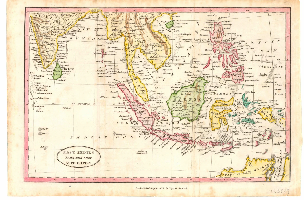
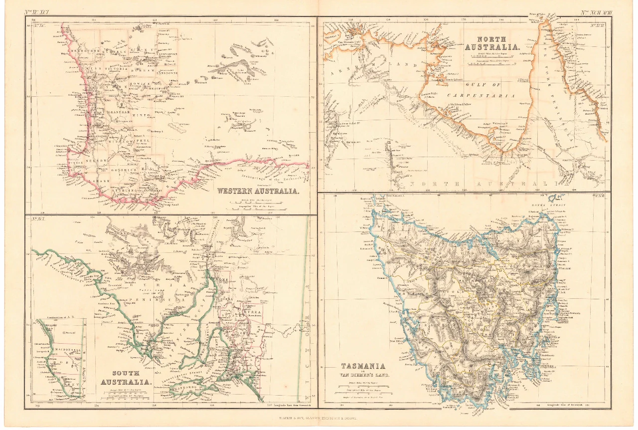
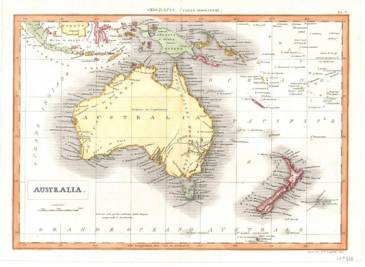
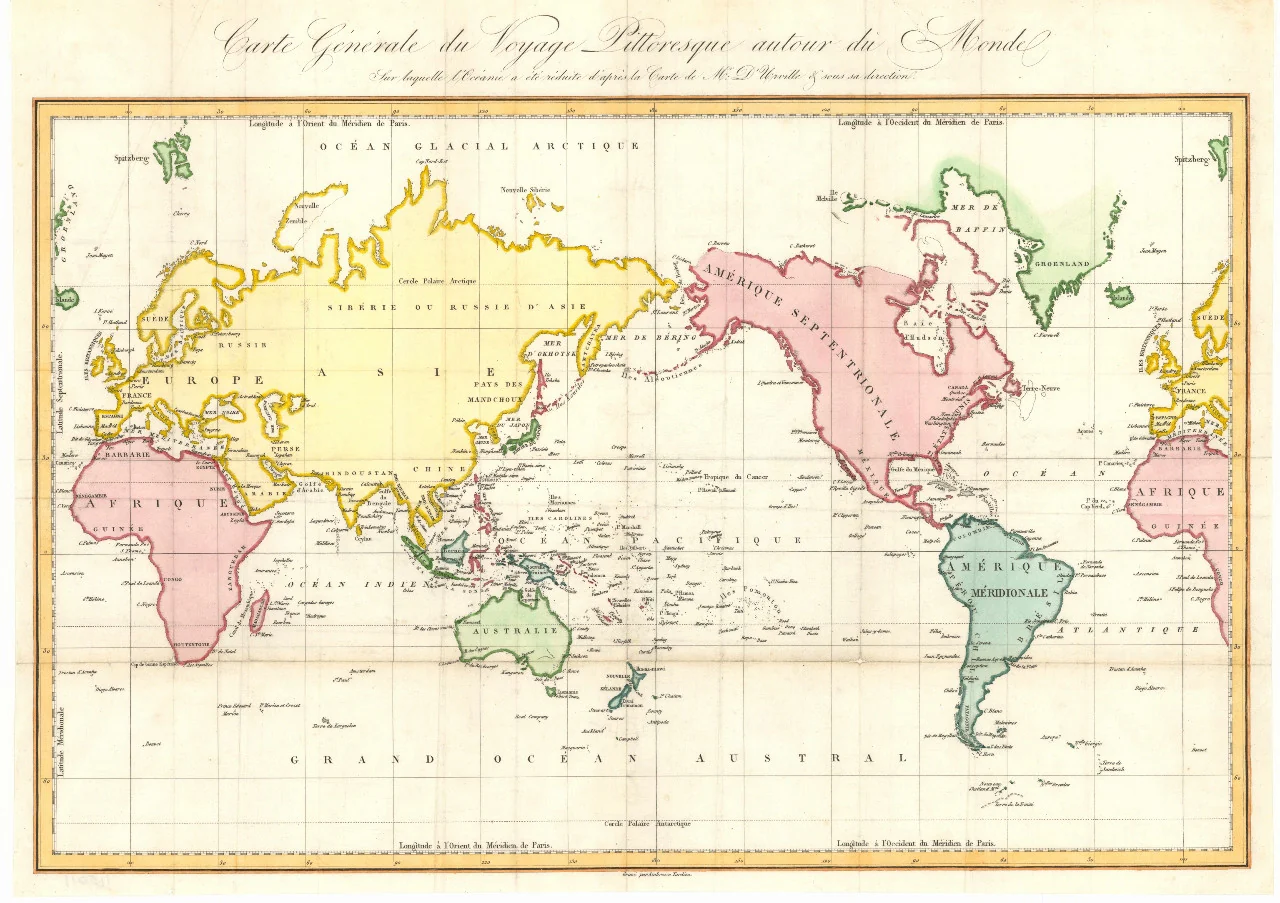
A snapshot of the world’s eastern half in the high Victorian era, rendered with clarity and restraint. Drawn by Stanford’s Geographical Establishment and published in 1877 (under the direction of the Committee of General Literature and Education appointed by the Society for Promoting Christian Knowledge and the National Society), this sheet presents countries in gentle pastel tints with strongly outlined borders. Hachures model major mountain ranges, while ocean currents, trade winds, and climatic frames (tropical zones, sun position) enrich the view. A 10° graticule aids orientation, and polar panels reveal the continents as seen from the two poles. At the base, comparative elevation cross-sections set each continent side by side—scientific, handsome, and unmistakably of its era.
More Than a Map – A Testament to History
This isn’t just wall art—it’s a curated view of empire and exploration in 1877. Europe appears as large imperial states; much of Asia is recognisable to modern eyes; Africa remains in the early stages of colonisation with vast interiors still unexplored. Ideal for educators, historians, designers, and collectors, this sheet pairs beautifully with contemporary maps for then-and-now comparisons of borders, climate ideas, and geophysical knowledge.
Hang it in studios, libraries, classrooms, museums, offices, or at home to invite reflection, study, and conversation.
Premium Materials & Finishes
We treat history with the respect it deserves. That’s why we offer multiple formats, each produced using high-quality materials and modern archival printing.
🌟 Archival Paper Print
Printed on heavyweight 160gsm archival-grade paper.
Smooth matte finish reduces glare and preserves fine linework and small labels.
Ideal for framing under glass—clean, timeless, and built to last.
💎 Laminated Edition
Encapsulated in two sheets of 80-micron gloss laminate using true thermal bonding—not just surface lamination.
Moisture-resistant, wipe-clean surface—perfect for classrooms and high-traffic reference spaces.
Great for research: use whiteboard markers or apply map dots without permanently marking the map.
Optional Natural Timber Hang Rails: lacquered rails with a fitted hanging cord provide a polished, ready-to-hang presentation—no frame required. (Please allow up to 10 working days for delivery with hang rails.)
🏆 Museum-Quality Canvas
Printed on heavyweight 395gsm HP Professional Matte Canvas for rich texture and exceptional strength.
Pigment-based, fade-resistant inks deliver deep tone and crisp typography that endure for generations.
Optional Natural Timber Hang Rails: lacquered to enhance the wood grain and protect against wear; top cord for effortless hanging—elegant in any setting. (Please allow up to 10 working days for delivery with hang rails.)
Specifications
| Feature | Details |
|---|---|
| Title | Stanford’s Eastern Hemisphere Wall Map |
| Original Publication | 1877 — drawn by Stanford’s Geographical Establishment |
| Imprint Note | Published under the direction of the Committee of General Literature and Education (SPCK & National Society) |
| Cartographic Content | Pastel country tints with bold borders; hachured relief; ocean currents & trade winds; climatic frames; 10° graticule; polar panels; comparative elevation sections |
| Coverage | Eastern Hemisphere (Europe, Africa, Asia, Australia & adjacent oceans) |
| Map Size | 951 mm (W) × 1117 mm (H) |
| Available Formats | Paper, Laminated, Canvas |
| Paper Weight | 160gsm archival-quality |
| Laminate | 2 × 80-micron gloss laminate sheets (encapsulated) |
| Canvas Weight | 395gsm HP Professional Matte Canvas |
| Inks | Pigment-based, fade-resistant |
| Optional Hang Rails | Available on Laminated & Canvas (lead time up to 10 working days) |
| Origin | Made in Australia |
Why Choose This Map
✔ Era-True Snapshot: Imperial Europe, evolving Asia, and an unmapped African interior as seen in 1877.
✔ Layered Insight: Currents, winds, climatic frames, polar views, and comparative relief in one plate.
✔ Clarity at Scale: Pastel tints, bold outlines, and a 10° grid make complex geography instantly readable.
✔ Research-Friendly: Laminated option supports dry-erase notes and map dots.
✔ Archival Craft: Premium substrates and inks preserve contrast, labels, and linework for decades.
Our Commitment
We believe that preserving history is as important as telling it. Every map is printed locally in Australia using state-of-the-art technology, carefully checked by hand, and packed with care. From the moment it leaves our workshop to the day it hangs on your wall, we ensure quality you can trust and a legacy you’ll be proud to share.
Place the nineteenth century’s Eastern Hemisphere in your space. Order the Stanford’s Eastern Hemisphere Wall Map (1877) today—a faithful, beautifully produced sheet that turns a room into a conversation.
Original: $64.36
-65%$64.36
$22.53Product Information
Product Information
Shipping & Returns
Shipping & Returns
Description
Hemispheres, Currents & Relief — Stanford’s Eastern Hemisphere Wall Map (1877)
A snapshot of the world’s eastern half in the high Victorian era, rendered with clarity and restraint. Drawn by Stanford’s Geographical Establishment and published in 1877 (under the direction of the Committee of General Literature and Education appointed by the Society for Promoting Christian Knowledge and the National Society), this sheet presents countries in gentle pastel tints with strongly outlined borders. Hachures model major mountain ranges, while ocean currents, trade winds, and climatic frames (tropical zones, sun position) enrich the view. A 10° graticule aids orientation, and polar panels reveal the continents as seen from the two poles. At the base, comparative elevation cross-sections set each continent side by side—scientific, handsome, and unmistakably of its era.
More Than a Map – A Testament to History
This isn’t just wall art—it’s a curated view of empire and exploration in 1877. Europe appears as large imperial states; much of Asia is recognisable to modern eyes; Africa remains in the early stages of colonisation with vast interiors still unexplored. Ideal for educators, historians, designers, and collectors, this sheet pairs beautifully with contemporary maps for then-and-now comparisons of borders, climate ideas, and geophysical knowledge.
Hang it in studios, libraries, classrooms, museums, offices, or at home to invite reflection, study, and conversation.
Premium Materials & Finishes
We treat history with the respect it deserves. That’s why we offer multiple formats, each produced using high-quality materials and modern archival printing.
🌟 Archival Paper Print
Printed on heavyweight 160gsm archival-grade paper.
Smooth matte finish reduces glare and preserves fine linework and small labels.
Ideal for framing under glass—clean, timeless, and built to last.
💎 Laminated Edition
Encapsulated in two sheets of 80-micron gloss laminate using true thermal bonding—not just surface lamination.
Moisture-resistant, wipe-clean surface—perfect for classrooms and high-traffic reference spaces.
Great for research: use whiteboard markers or apply map dots without permanently marking the map.
Optional Natural Timber Hang Rails: lacquered rails with a fitted hanging cord provide a polished, ready-to-hang presentation—no frame required. (Please allow up to 10 working days for delivery with hang rails.)
🏆 Museum-Quality Canvas
Printed on heavyweight 395gsm HP Professional Matte Canvas for rich texture and exceptional strength.
Pigment-based, fade-resistant inks deliver deep tone and crisp typography that endure for generations.
Optional Natural Timber Hang Rails: lacquered to enhance the wood grain and protect against wear; top cord for effortless hanging—elegant in any setting. (Please allow up to 10 working days for delivery with hang rails.)
Specifications
| Feature | Details |
|---|---|
| Title | Stanford’s Eastern Hemisphere Wall Map |
| Original Publication | 1877 — drawn by Stanford’s Geographical Establishment |
| Imprint Note | Published under the direction of the Committee of General Literature and Education (SPCK & National Society) |
| Cartographic Content | Pastel country tints with bold borders; hachured relief; ocean currents & trade winds; climatic frames; 10° graticule; polar panels; comparative elevation sections |
| Coverage | Eastern Hemisphere (Europe, Africa, Asia, Australia & adjacent oceans) |
| Map Size | 951 mm (W) × 1117 mm (H) |
| Available Formats | Paper, Laminated, Canvas |
| Paper Weight | 160gsm archival-quality |
| Laminate | 2 × 80-micron gloss laminate sheets (encapsulated) |
| Canvas Weight | 395gsm HP Professional Matte Canvas |
| Inks | Pigment-based, fade-resistant |
| Optional Hang Rails | Available on Laminated & Canvas (lead time up to 10 working days) |
| Origin | Made in Australia |
Why Choose This Map
✔ Era-True Snapshot: Imperial Europe, evolving Asia, and an unmapped African interior as seen in 1877.
✔ Layered Insight: Currents, winds, climatic frames, polar views, and comparative relief in one plate.
✔ Clarity at Scale: Pastel tints, bold outlines, and a 10° grid make complex geography instantly readable.
✔ Research-Friendly: Laminated option supports dry-erase notes and map dots.
✔ Archival Craft: Premium substrates and inks preserve contrast, labels, and linework for decades.
Our Commitment
We believe that preserving history is as important as telling it. Every map is printed locally in Australia using state-of-the-art technology, carefully checked by hand, and packed with care. From the moment it leaves our workshop to the day it hangs on your wall, we ensure quality you can trust and a legacy you’ll be proud to share.
Place the nineteenth century’s Eastern Hemisphere in your space. Order the Stanford’s Eastern Hemisphere Wall Map (1877) today—a faithful, beautifully produced sheet that turns a room into a conversation.