Uruguay / Montevideo ITMB Map
Double-Sided Travel Map | Montevideo City 1:10,000 + Uruguay Country 1:800,000
Size: 690 mm (W) x 990 mm (H)
Publisher: ITMB (International Travel Maps)
Discover Uruguay—From Capital Streets to Coastal Frontiers
This Uruguay & Montevideo ITMB map offers two essential maps in one expertly produced format. Whether you're navigating the charming, European-style streets of Montevideo or planning a road trip across Uruguay’s scenic countryside, this map is the ideal companion.
On one side, you'll find an up-to-date, easy-to-read street map of Montevideo, Uruguay’s vibrant capital. Key avenues, public transport routes, major hotels, embassies, landmarks, and neighbourhoods are clearly marked—perfect for both tourists and professionals.
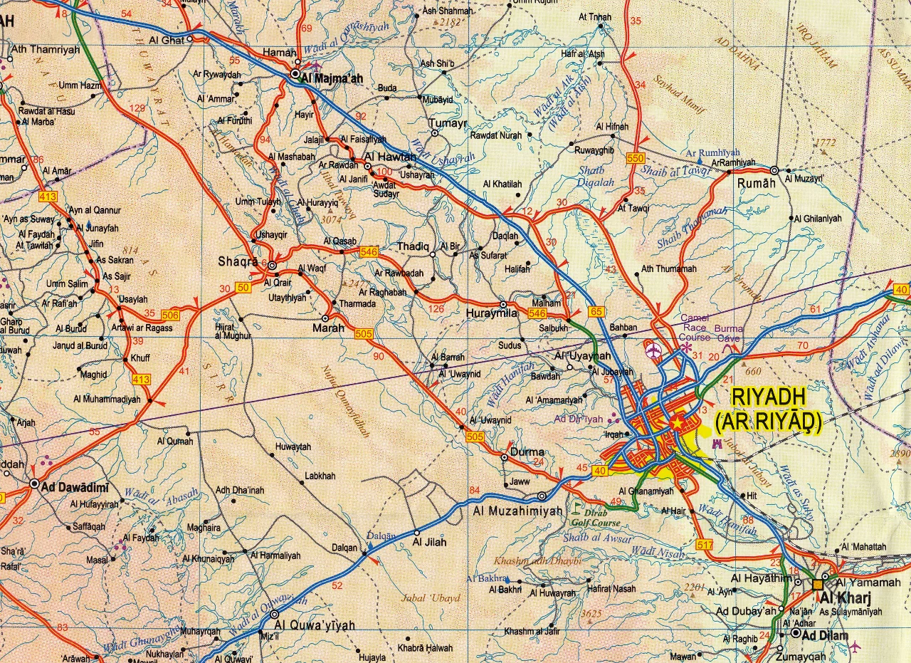
On the reverse, a country-scale road map of Uruguay reveals the nation’s extensive highway system, smaller roadways, protected natural areas, ferry routes, border crossings, and geographic features. From the beaches of Punta del Este to the historical architecture of Colonia del Sacramento, this map helps you navigate Uruguay's highlights with ease.
📌 Map Highlights
Montevideo Street Map (Scale 1:10,000)
-
Complete street index for navigation
-
Clearly marked suburbs and city districts
-
Public parks, cultural landmarks, and tourist attractions
-
Major hotels, consulates, and ferry terminals
-
Public transport connections
Uruguay Country Map (Scale 1:800,000)
-
All primary and secondary roads with route numbers
-
Distances in kilometres
-
Border crossings and ferry connections to Argentina
-
National parks and nature reserves
-
Rivers, lakes, and physical terrain features
-
Full index of towns and cities
🧭 A Practical Tool for Travel and Planning
This map is not just for tourists—it's equally suitable for:
-
Backpackers and road-trippers
-
Travel agents and tour guides
-
Educational settings and classrooms
-
Logistics teams and international businesses
-
Expats, embassy staff, and language learners
Its clarity, accuracy, and bilingual usability (with place names in local language) make it one of the most user-friendly resources available for navigating Uruguay.
💡 Lamination Option
For enhanced durability and reuse, we offer this map laminated using high-grade 80-micron gloss laminate. This encapsulation allows you to:
-
Use whiteboard markers to plot routes or notes
-
Add and remove map dots for logistics or teaching
-
Protect against moisture, UV fading, and tears
Please note: Laminated versions are produced by flattening and encapsulating the folded map, so minor fold lines will still be visible.
📐 Product Specifications
| Feature | Details |
|---|---|
| Map Type | Double-sided: City + Country |
| Montevideo Scale | 1:10,000 |
| Uruguay Scale | 1:800,000 |
| Map Dimensions | 690 mm (W) x 990 mm (H) |
| Finish Options | Folded paper / Laminated flat |
| Lamination Thickness | 80-micron gloss |
| Material | Paper or laminated map |
| Publisher | ITMB – International Travel Maps |
| Country of Origin | Canada |
🌍 Why Choose ITMB?
International Travel Maps (ITMB) is one of the world’s most trusted map publishers, known for their dedication to producing accurate, practical maps for the independent traveller. Their Uruguay & Montevideo map combines street-level precision with broad national perspective—perfectly balancing local detail with regional overview.
Original: $17.85
-65%$17.85
$6.25Product Information
Product Information
Shipping & Returns
Shipping & Returns
Description
Double-Sided Travel Map | Montevideo City 1:10,000 + Uruguay Country 1:800,000
Size: 690 mm (W) x 990 mm (H)
Publisher: ITMB (International Travel Maps)
Discover Uruguay—From Capital Streets to Coastal Frontiers
This Uruguay & Montevideo ITMB map offers two essential maps in one expertly produced format. Whether you're navigating the charming, European-style streets of Montevideo or planning a road trip across Uruguay’s scenic countryside, this map is the ideal companion.
On one side, you'll find an up-to-date, easy-to-read street map of Montevideo, Uruguay’s vibrant capital. Key avenues, public transport routes, major hotels, embassies, landmarks, and neighbourhoods are clearly marked—perfect for both tourists and professionals.
On the reverse, a country-scale road map of Uruguay reveals the nation’s extensive highway system, smaller roadways, protected natural areas, ferry routes, border crossings, and geographic features. From the beaches of Punta del Este to the historical architecture of Colonia del Sacramento, this map helps you navigate Uruguay's highlights with ease.
📌 Map Highlights
Montevideo Street Map (Scale 1:10,000)
-
Complete street index for navigation
-
Clearly marked suburbs and city districts
-
Public parks, cultural landmarks, and tourist attractions
-
Major hotels, consulates, and ferry terminals
-
Public transport connections
Uruguay Country Map (Scale 1:800,000)
-
All primary and secondary roads with route numbers
-
Distances in kilometres
-
Border crossings and ferry connections to Argentina
-
National parks and nature reserves
-
Rivers, lakes, and physical terrain features
-
Full index of towns and cities
🧭 A Practical Tool for Travel and Planning
This map is not just for tourists—it's equally suitable for:
-
Backpackers and road-trippers
-
Travel agents and tour guides
-
Educational settings and classrooms
-
Logistics teams and international businesses
-
Expats, embassy staff, and language learners
Its clarity, accuracy, and bilingual usability (with place names in local language) make it one of the most user-friendly resources available for navigating Uruguay.
💡 Lamination Option
For enhanced durability and reuse, we offer this map laminated using high-grade 80-micron gloss laminate. This encapsulation allows you to:
-
Use whiteboard markers to plot routes or notes
-
Add and remove map dots for logistics or teaching
-
Protect against moisture, UV fading, and tears
Please note: Laminated versions are produced by flattening and encapsulating the folded map, so minor fold lines will still be visible.
📐 Product Specifications
| Feature | Details |
|---|---|
| Map Type | Double-sided: City + Country |
| Montevideo Scale | 1:10,000 |
| Uruguay Scale | 1:800,000 |
| Map Dimensions | 690 mm (W) x 990 mm (H) |
| Finish Options | Folded paper / Laminated flat |
| Lamination Thickness | 80-micron gloss |
| Material | Paper or laminated map |
| Publisher | ITMB – International Travel Maps |
| Country of Origin | Canada |
🌍 Why Choose ITMB?
International Travel Maps (ITMB) is one of the world’s most trusted map publishers, known for their dedication to producing accurate, practical maps for the independent traveller. Their Uruguay & Montevideo map combines street-level precision with broad national perspective—perfectly balancing local detail with regional overview.