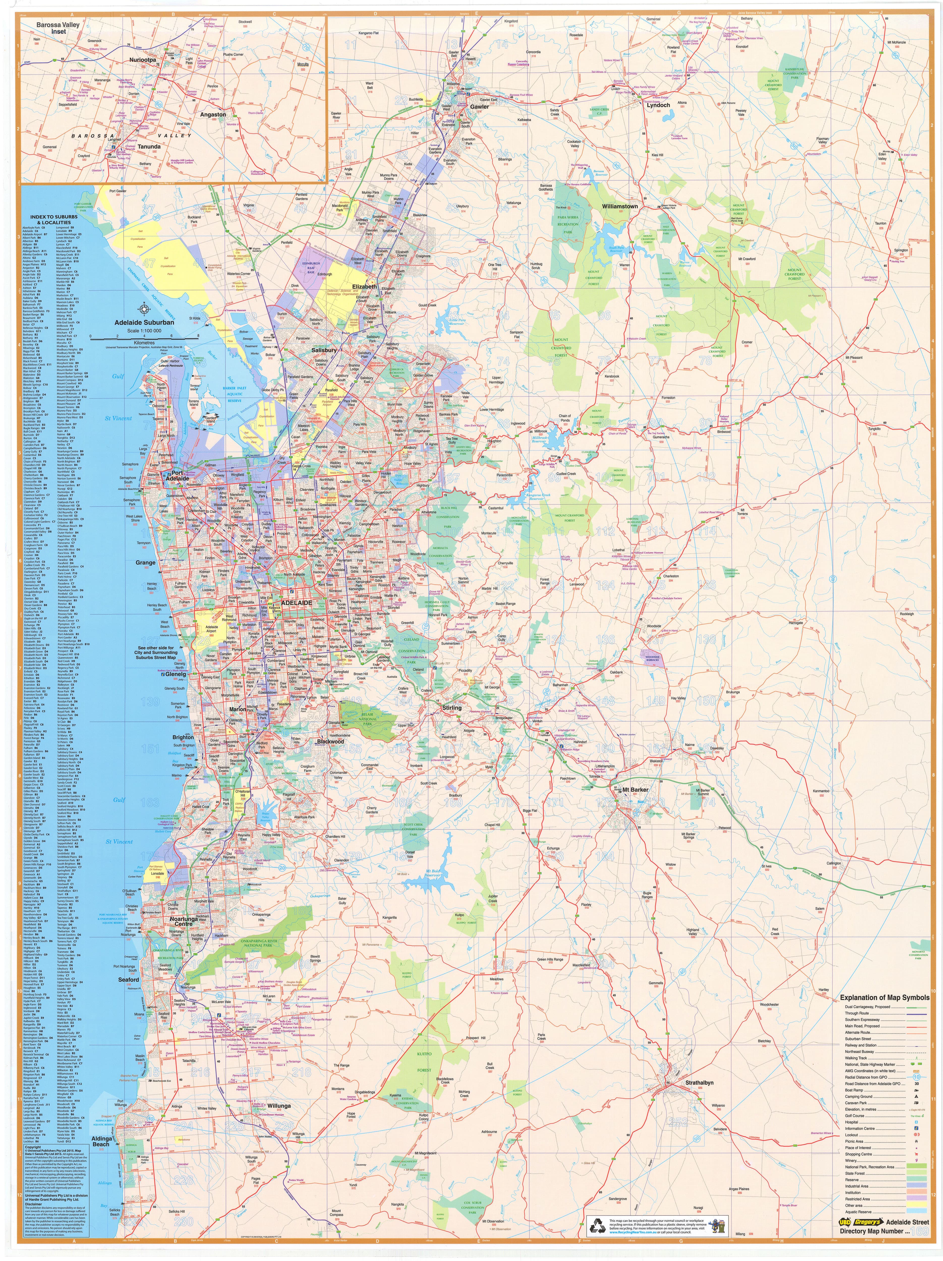
USA East Marco Polo Map
The USA East map by Marco Polo in an excellent map covering the East of the United States at a scale of 1:2,000,000.
The map extends from the tip of Florida in the south up to Quebec in the north including all the Great Lakes and New England. It also extends east past Chicago and Mobile.
Also shown on the map are:
- Scenic routes and places of interest
- Fold-out overview map
- Distance table
- Index of place names
The map also comes with seven reusable mark it stickers to identify places of interest to you.
This large single sided map is ideal if you are touring this area or if you are looking to plan a trip.
Scale 1:2,000,000 / 1cm = 20km / 1 inch = 32 miles
Size 1200 mm (h) x 1000 mm (w)
Original: $21.43
-65%$21.43
$7.50Product Information
Product Information
Shipping & Returns
Shipping & Returns
Description
The USA East map by Marco Polo in an excellent map covering the East of the United States at a scale of 1:2,000,000.
The map extends from the tip of Florida in the south up to Quebec in the north including all the Great Lakes and New England. It also extends east past Chicago and Mobile.
Also shown on the map are:
- Scenic routes and places of interest
- Fold-out overview map
- Distance table
- Index of place names
The map also comes with seven reusable mark it stickers to identify places of interest to you.
This large single sided map is ideal if you are touring this area or if you are looking to plan a trip.
Scale 1:2,000,000 / 1cm = 20km / 1 inch = 32 miles
Size 1200 mm (h) x 1000 mm (w)