Western Australia Hema 1400 x 2000mm Megamap Laminated Wall Map
Western Australia — Hema Megamap (Laminated Wall Map)
Size: 1400 mm (W) × 2000 mm (H)
Format: Megamap • Laminated
Laminate: 100 micron
Printed in Australia
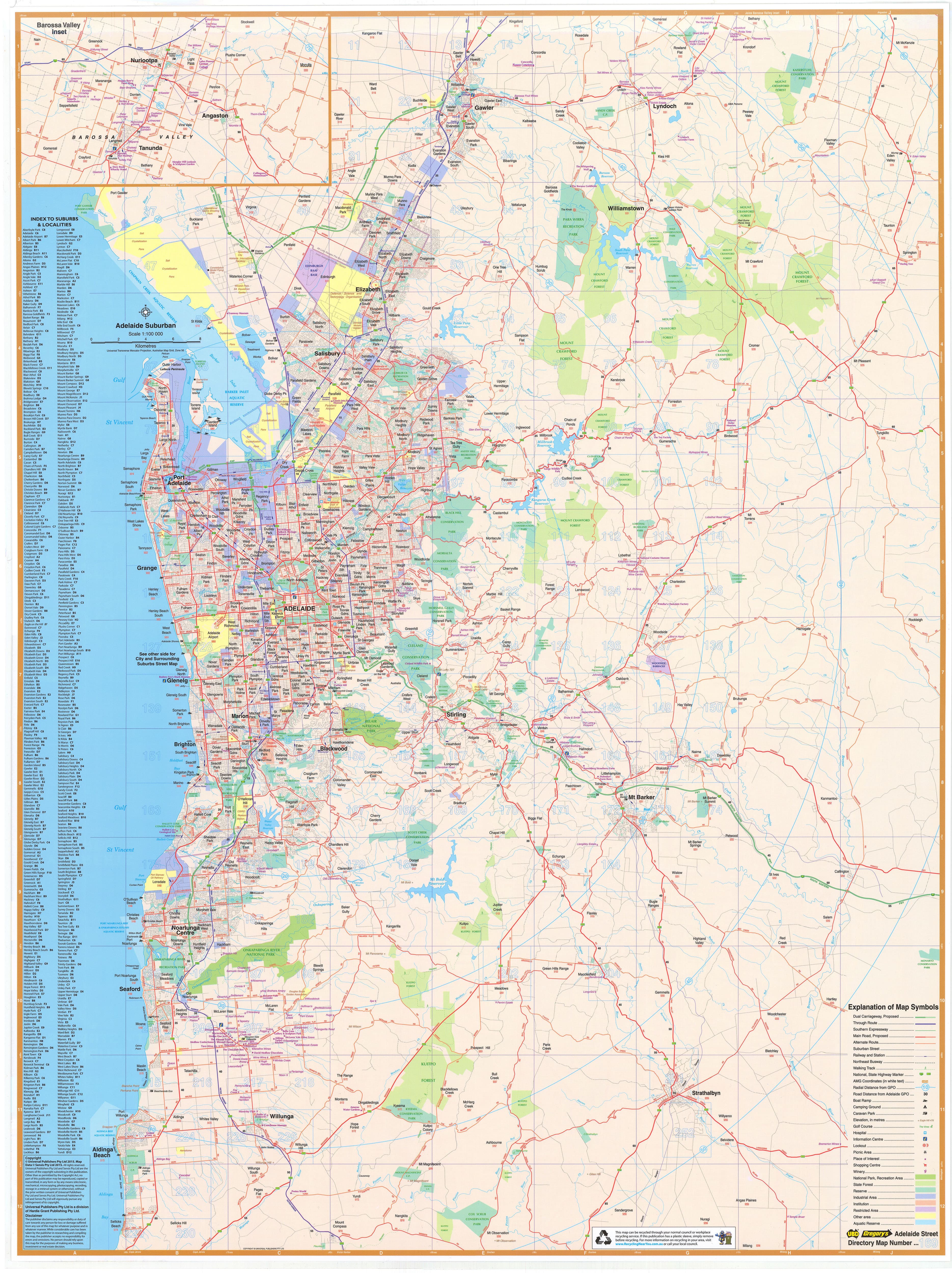
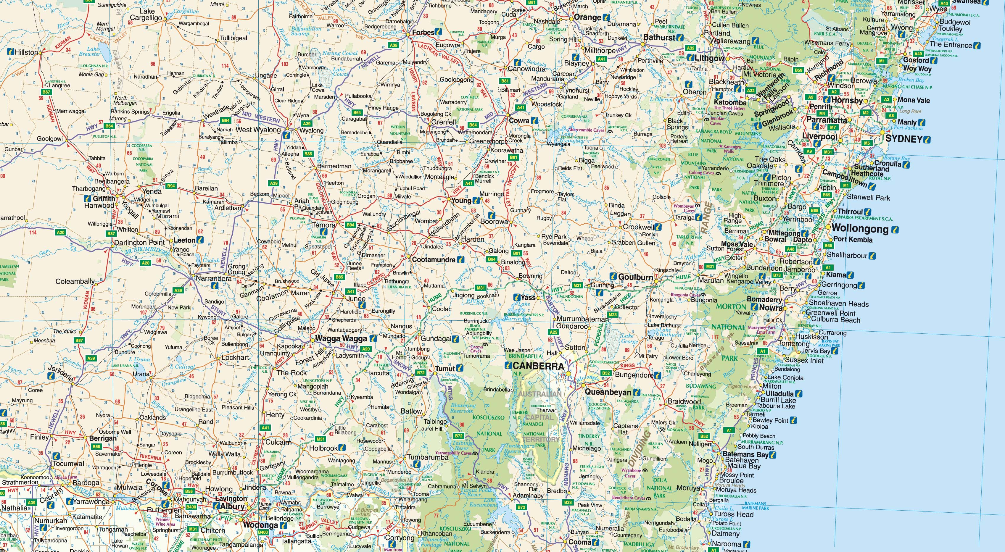
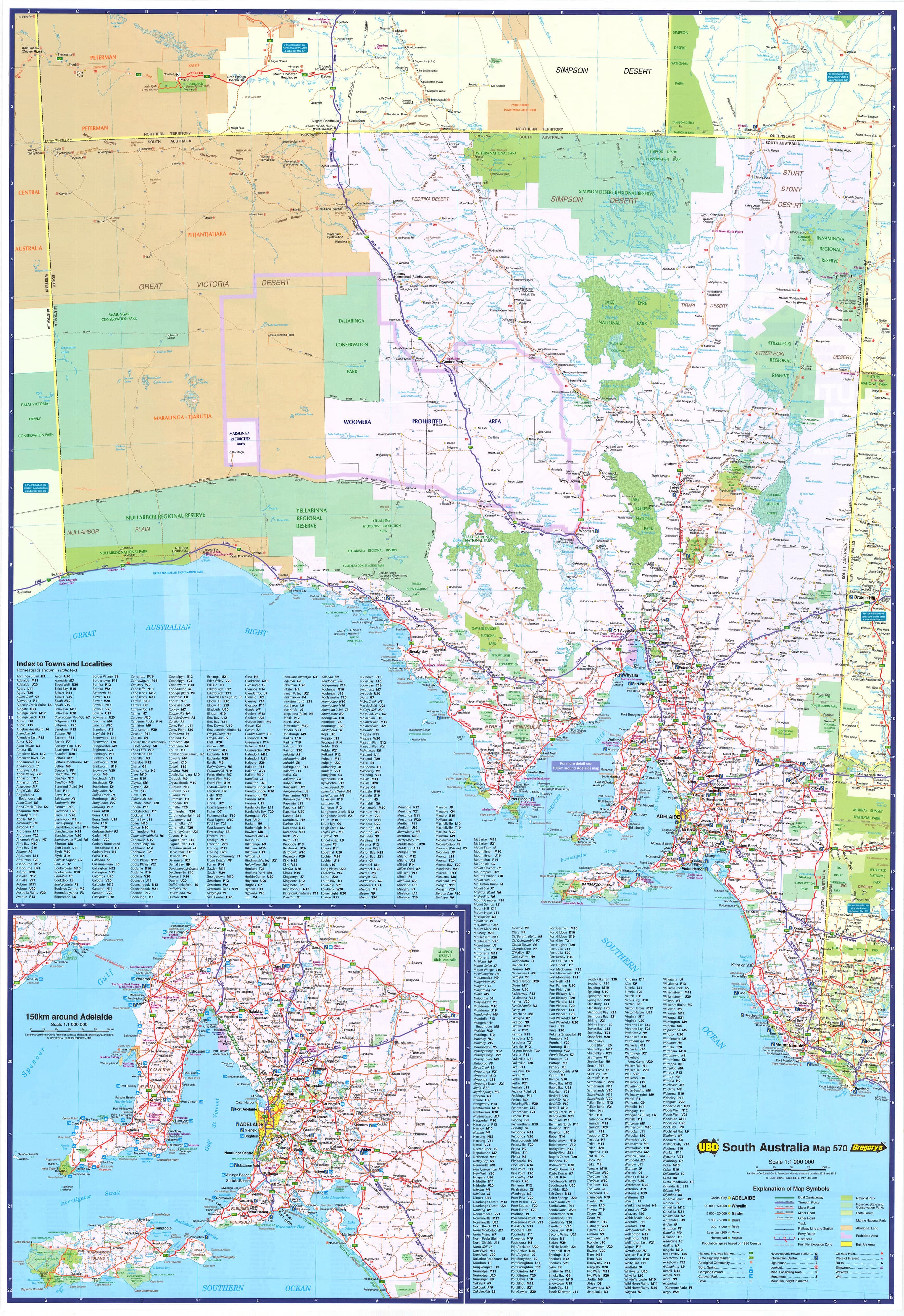
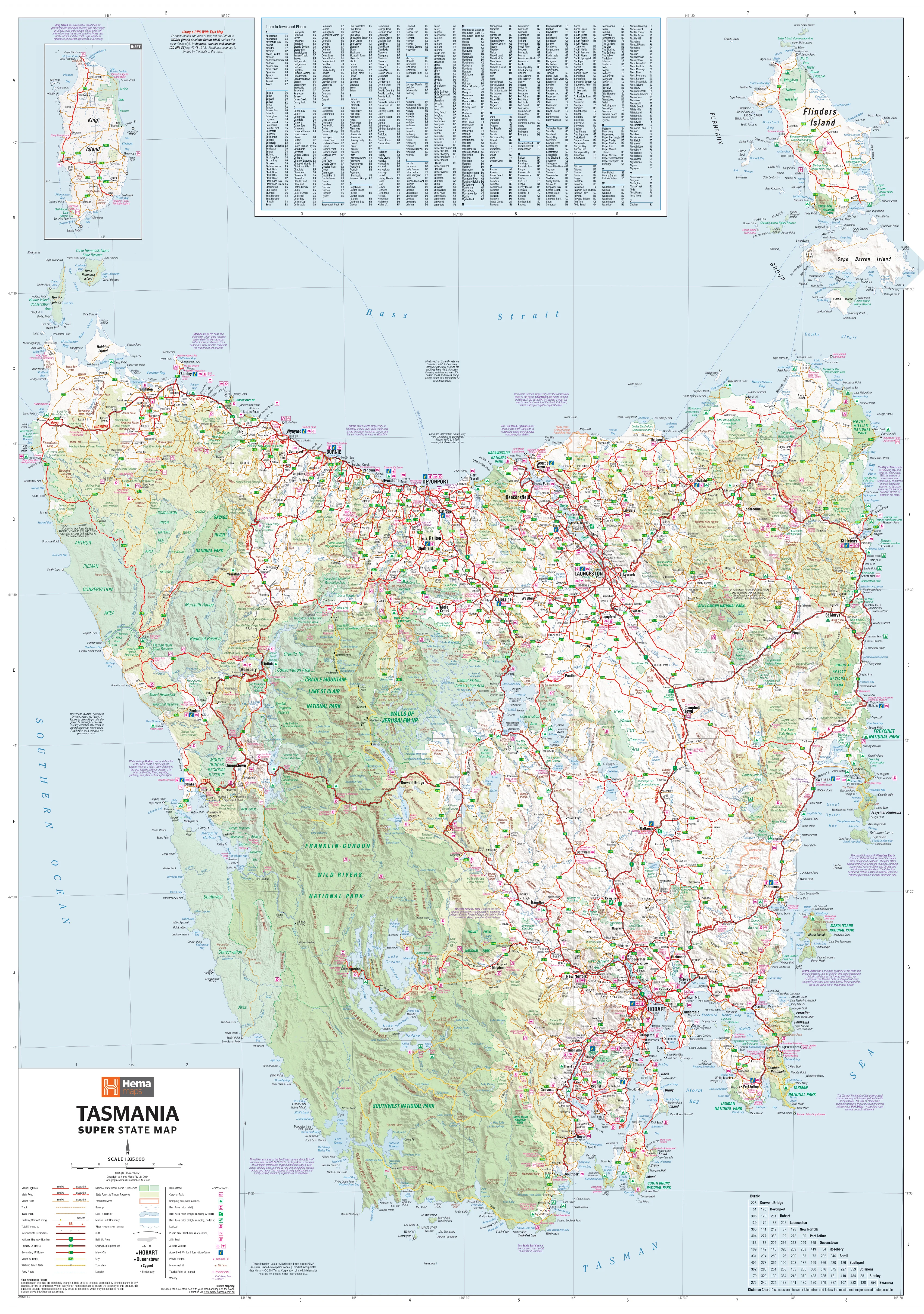
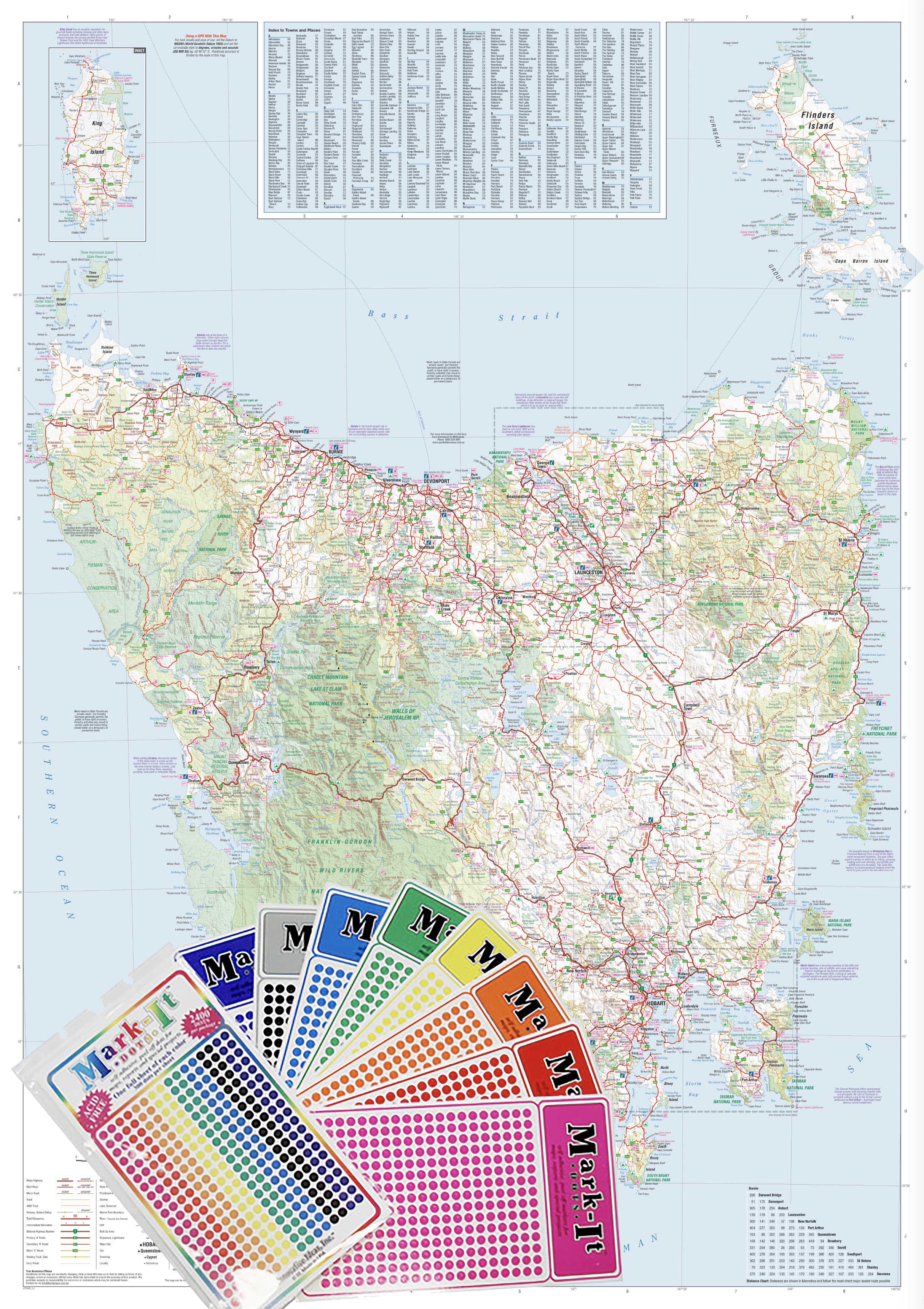
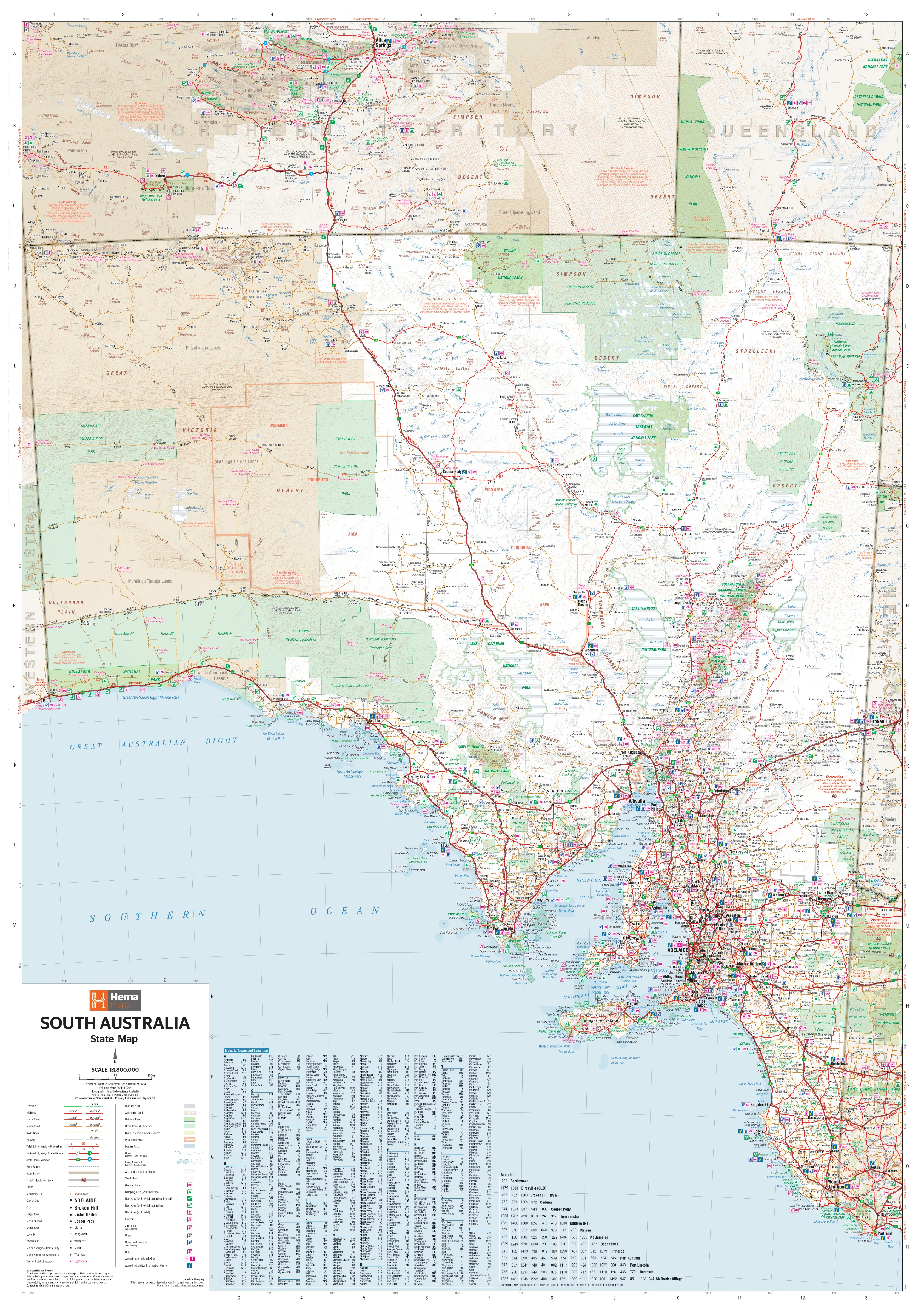
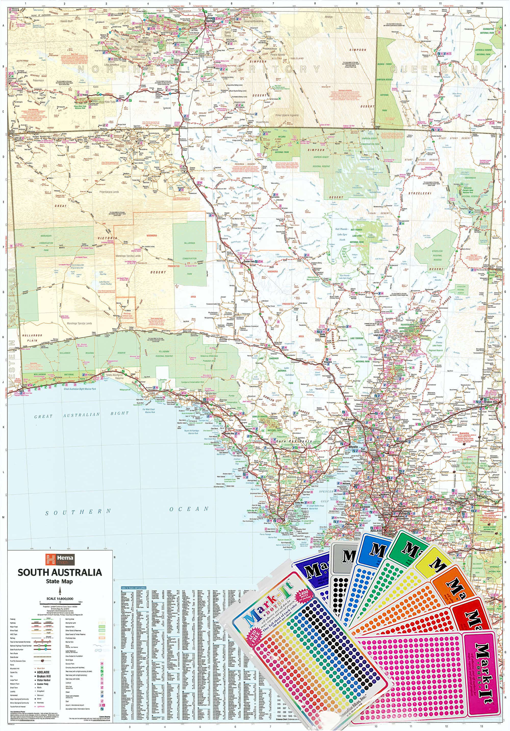
The Western Australia Hema Megamap (Laminated Edition) delivers the nation’s largest state at true wall scale, providing a clear, authoritative overview of Western Australia in one commanding view. Printed at an impressive 1400 × 2000 mm, this Megamap makes vast distances, remote regions, coastal corridors, and inland routes immediately understandable.
Covering all of Western Australia — from the Kimberley and Pilbara in the north, through the interior, to the South West and Great Southern — this map clearly shows major and secondary roads, state and national highways, regional centres, and long-distance transport corridors. Finished with heavy-duty lamination, it’s built to be used — written on, wiped clean, and updated as plans evolve — making it ideal for offices, logistics hubs, operations rooms, classrooms, and planning spaces.
Built on trusted Hema cartography, this Megamap turns WA’s immense scale into something readable, practical, and immediately useful on the wall.
🗝️ Key Features
-
Complete Western Australia coverage — Kimberley to the South Coast, coast to outback
-
Clear road hierarchy — Major & secondary roads presented with strong visual clarity
-
State & national highways — Easily trace long-distance freight and travel routes
-
Regional context — Cities, towns, and key regional centres clearly labelled
-
Megamap scale impact — Large-format design readable across shared spaces
-
Trusted Hema cartography — Renowned for accuracy, consistency, and clean design
🎨 Materials & Finish
-
Premium base paper — Printed on 120 gsm matte-coated FSC-certified paper, selected for strength, flatness, and colour consistency
-
Archival print quality — Produced using Hewlett-Packard archival, fade-resistant pigment inks for crisp linework and long-term colour stability
-
Heavy-duty lamination — Finished with a 100-micron protective laminate for durability and protection
-
Write-on / wipe-off surface — Compatible with whiteboard markers and map dots
-
Low-maintenance finish — Ideal for busy planning walls and shared environments
📐 Size & Orientation
-
1400 mm × 2000 mm (Megamap)
-
Orientation: Portrait
📊 Specifications
| Attribute | Details |
|---|---|
| Title | Western Australia — Hema Megamap (Laminated) |
| Coverage | Entire state of Western Australia |
| Features | Major & secondary roads, state & national highways, cities, towns, regional centres |
| Print Size | 1400 mm × 2000 mm |
| Paper | 120 gsm matte-coated FSC-certified |
| Inks | Hewlett-Packard archival, fade-resistant pigment inks |
| Laminate | 100-micron protective laminate |
| Surface | Write-on / wipe-off |
| Origin | Printed in Australia |
🎯 Who it’s for
-
🏢 Businesses & offices — Statewide planning, logistics, and strategic overview
-
🚛 Transport & service operators — Long-distance route planning and coverage
-
🧭 Operations & planning rooms — Big-picture coordination across WA
-
🎓 Education & training spaces — Durable, interactive state geography
-
🏠 Home offices & studios — A bold, practical Western Australia reference
🤝 Our Commitment
Every laminated Hema Megamap is printed locally in Australia using FSC-certified paper, Hewlett-Packard archival pigment inks, and professional-grade 100-micron lamination. Each map is carefully checked and packed to ensure it arrives ready to deliver years of clarity, durability, and everyday usability.
🛒 Order your Western Australia Hema Megamap (Laminated) today — a wall-filling, write-on planning map designed to make WA’s vast geography clear, usable, and actionable.
Original: $357.70
-65%$357.70
$125.19Product Information
Product Information
Shipping & Returns
Shipping & Returns
Description
Western Australia — Hema Megamap (Laminated Wall Map)
Size: 1400 mm (W) × 2000 mm (H)
Format: Megamap • Laminated
Laminate: 100 micron
Printed in Australia
The Western Australia Hema Megamap (Laminated Edition) delivers the nation’s largest state at true wall scale, providing a clear, authoritative overview of Western Australia in one commanding view. Printed at an impressive 1400 × 2000 mm, this Megamap makes vast distances, remote regions, coastal corridors, and inland routes immediately understandable.
Covering all of Western Australia — from the Kimberley and Pilbara in the north, through the interior, to the South West and Great Southern — this map clearly shows major and secondary roads, state and national highways, regional centres, and long-distance transport corridors. Finished with heavy-duty lamination, it’s built to be used — written on, wiped clean, and updated as plans evolve — making it ideal for offices, logistics hubs, operations rooms, classrooms, and planning spaces.
Built on trusted Hema cartography, this Megamap turns WA’s immense scale into something readable, practical, and immediately useful on the wall.
🗝️ Key Features
-
Complete Western Australia coverage — Kimberley to the South Coast, coast to outback
-
Clear road hierarchy — Major & secondary roads presented with strong visual clarity
-
State & national highways — Easily trace long-distance freight and travel routes
-
Regional context — Cities, towns, and key regional centres clearly labelled
-
Megamap scale impact — Large-format design readable across shared spaces
-
Trusted Hema cartography — Renowned for accuracy, consistency, and clean design
🎨 Materials & Finish
-
Premium base paper — Printed on 120 gsm matte-coated FSC-certified paper, selected for strength, flatness, and colour consistency
-
Archival print quality — Produced using Hewlett-Packard archival, fade-resistant pigment inks for crisp linework and long-term colour stability
-
Heavy-duty lamination — Finished with a 100-micron protective laminate for durability and protection
-
Write-on / wipe-off surface — Compatible with whiteboard markers and map dots
-
Low-maintenance finish — Ideal for busy planning walls and shared environments
📐 Size & Orientation
-
1400 mm × 2000 mm (Megamap)
-
Orientation: Portrait
📊 Specifications
| Attribute | Details |
|---|---|
| Title | Western Australia — Hema Megamap (Laminated) |
| Coverage | Entire state of Western Australia |
| Features | Major & secondary roads, state & national highways, cities, towns, regional centres |
| Print Size | 1400 mm × 2000 mm |
| Paper | 120 gsm matte-coated FSC-certified |
| Inks | Hewlett-Packard archival, fade-resistant pigment inks |
| Laminate | 100-micron protective laminate |
| Surface | Write-on / wipe-off |
| Origin | Printed in Australia |
🎯 Who it’s for
-
🏢 Businesses & offices — Statewide planning, logistics, and strategic overview
-
🚛 Transport & service operators — Long-distance route planning and coverage
-
🧭 Operations & planning rooms — Big-picture coordination across WA
-
🎓 Education & training spaces — Durable, interactive state geography
-
🏠 Home offices & studios — A bold, practical Western Australia reference
🤝 Our Commitment
Every laminated Hema Megamap is printed locally in Australia using FSC-certified paper, Hewlett-Packard archival pigment inks, and professional-grade 100-micron lamination. Each map is carefully checked and packed to ensure it arrives ready to deliver years of clarity, durability, and everyday usability.
🛒 Order your Western Australia Hema Megamap (Laminated) today — a wall-filling, write-on planning map designed to make WA’s vast geography clear, usable, and actionable.