Western Australia Hema 1400 x 2000mm Megamap Paper Wall Map
Western Australia — Hema Megamap (Paper Wall Map)
Size: 1400 mm (W) × 2000 mm (H)
Format: Megamap • Paper
Printed in Australia
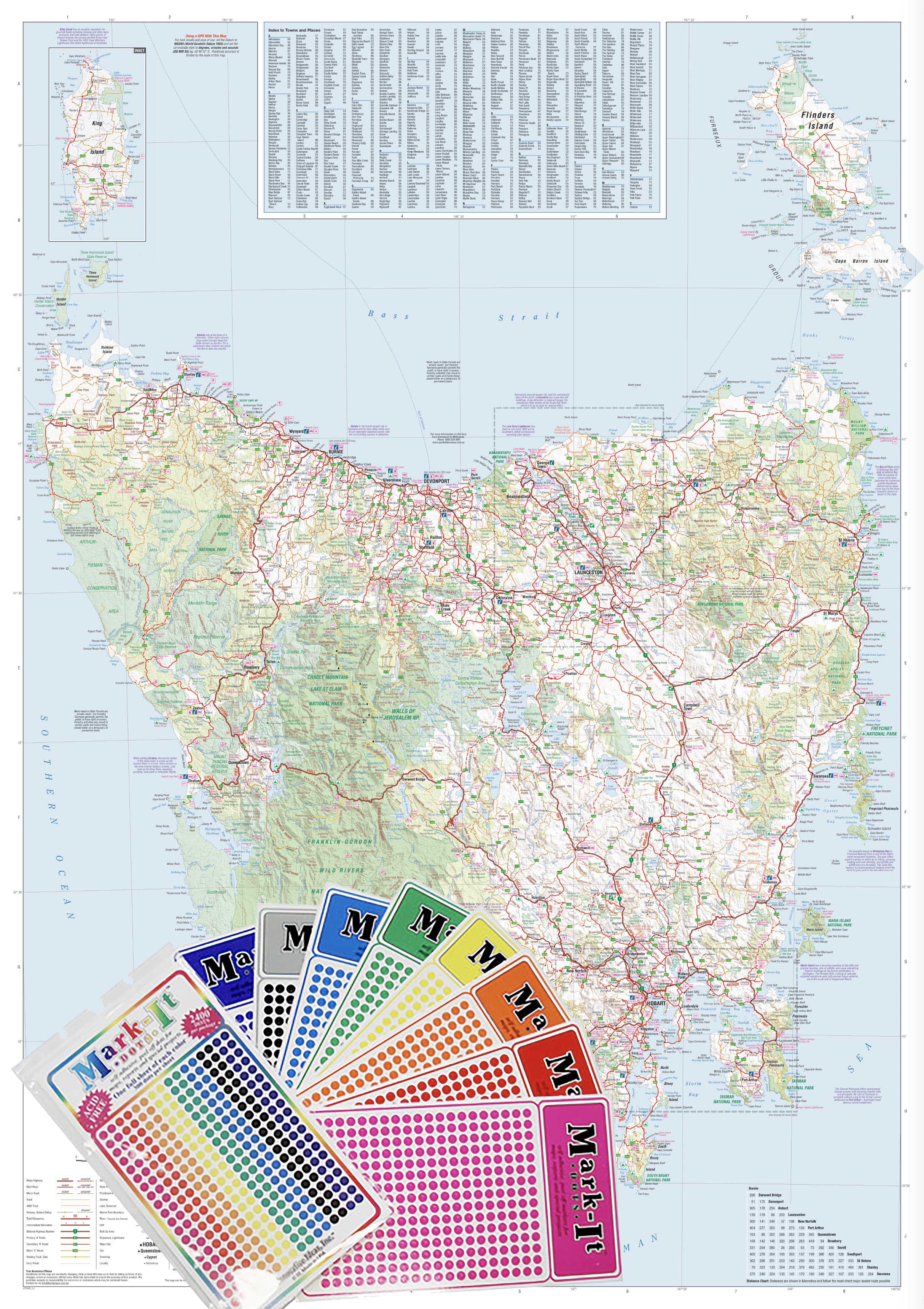
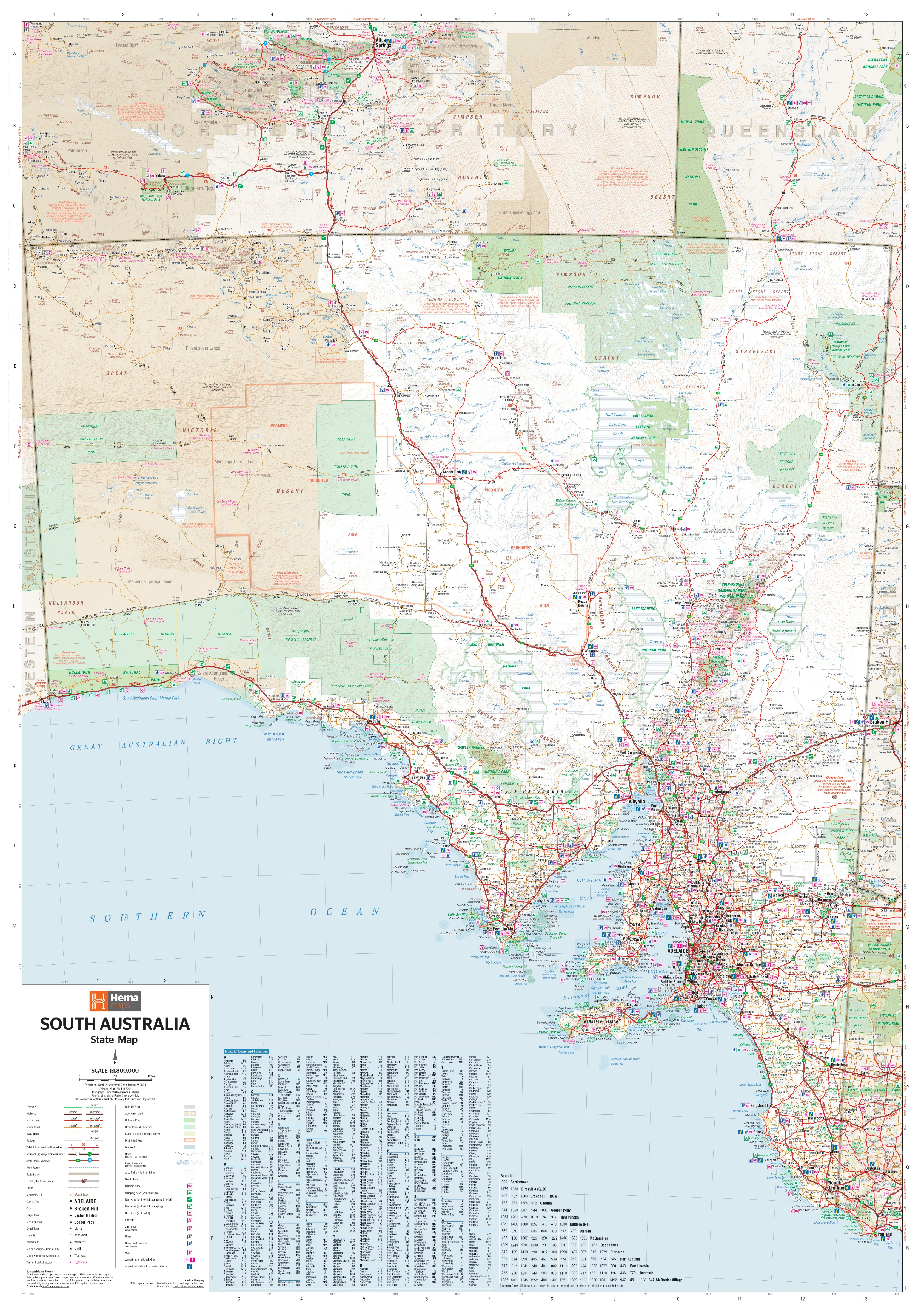
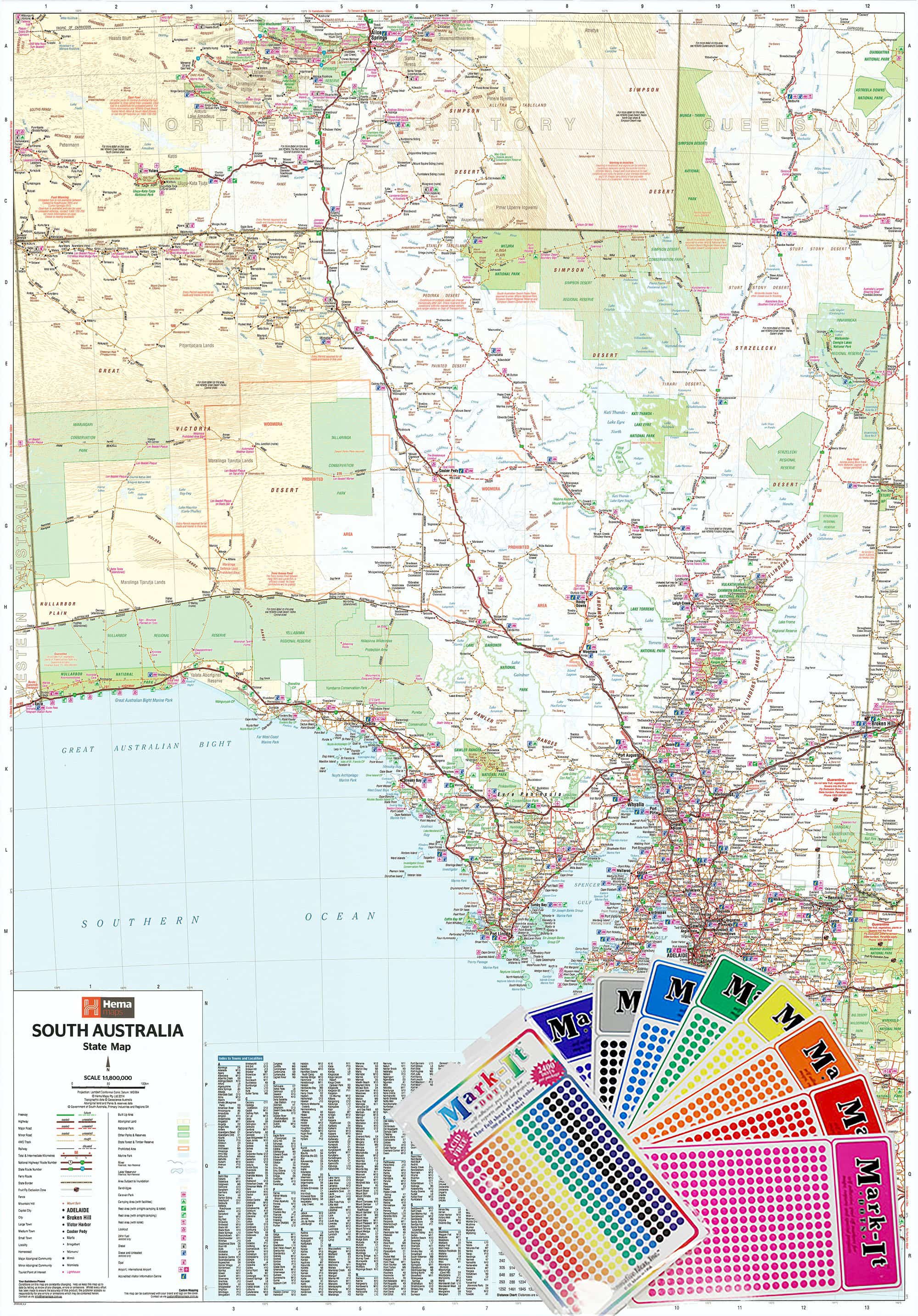
The Western Australia Hema Megamap presents Australia’s largest state at true wall scale, delivering an authoritative, big-picture view of Western Australia in one clear, readable format. Printed at an impressive 1400 × 2000 mm, this Megamap allows vast distances, remote regions, coastal corridors, and inland routes to be understood at a glance.
Covering all of Western Australia — from the Kimberley and Pilbara in the north, through the interior, to the South West and Great Southern — this map clearly shows major and secondary roads, state and national highways, regional centres, and long-distance connections. It’s ideal for offices, planning rooms, classrooms, operations spaces, and homes, where a clear understanding of WA’s immense scale and geography is essential.
Built on trusted Hema cartography, this Megamap balances coverage and legibility, turning one of the world’s most expansive regions into a practical, wall-ready reference.
🗝️ Key Features
-
Complete Western Australia coverage — Kimberley to the South Coast, coast to outback
-
Clear road hierarchy — Major & secondary roads shown with strong visual clarity
-
State & national highways — Easily trace long-distance transport and freight corridors
-
Regional context — Cities, towns, and key regional centres clearly labelled
-
Megamap scale impact — Large-format design readable across shared spaces
-
Trusted Hema cartography — Renowned for accuracy, consistency, and clean design
🎨 Materials & Finish
-
Premium paper stock — Printed on 120 gsm matte-coated FSC-certified paper, ideal for large-format wall display
-
Low-glare surface — Matte finish reduces reflections under glass or in bright rooms
-
Archival print quality — Produced using Hewlett-Packard archival, fade-resistant pigment inks for crisp detail and long-term colour stability
-
Frame-ready — Perfect for framing under glass in offices, classrooms, or home spaces
Note:
This edition is supplied in paper format only.
Laminated, canvas, and hang-rail finishes may be available separately if required.
📐 Size & Orientation
-
1400 mm × 2000 mm (Megamap)
-
Orientation: Portrait
📊 Specifications
| Attribute | Details |
|---|---|
| Title | Western Australia — Hema Megamap |
| Coverage | Entire state of Western Australia |
| Features | Major & secondary roads, state & national highways, cities, towns, regional centres |
| Print Size | 1400 mm × 2000 mm |
| Paper | 120 gsm matte-coated FSC-certified |
| Inks | Hewlett-Packard archival, fade-resistant pigment inks |
| Format | Paper |
| Origin | Printed in Australia |
🎯 Who it’s for
-
🏢 Businesses & offices — Statewide planning, logistics, and strategic overview
-
🚛 Transport & service operators — Understanding long-distance routes and coverage
-
🧭 Operations & planning rooms — Big-picture coordination across WA
-
🎓 Education & community spaces — Teaching Western Australia’s scale and geography
-
🏠 Homes & studios — A bold, informative Western Australia reference
🤝 Our Commitment
Every Hema Megamap is printed locally in Australia using FSC-certified paper and Hewlett-Packard archival pigment inks. Each map is carefully checked and packed to ensure it arrives ready to deliver clarity, accuracy, and long-term usability.
🛒 Order your Western Australia Hema Megamap today — a wall-filling, authoritative view of WA designed for planning, learning, and understanding the state at scale.
Original: $214.60
-65%$214.60
$75.11Product Information
Product Information
Shipping & Returns
Shipping & Returns
Description
Western Australia — Hema Megamap (Paper Wall Map)
Size: 1400 mm (W) × 2000 mm (H)
Format: Megamap • Paper
Printed in Australia
The Western Australia Hema Megamap presents Australia’s largest state at true wall scale, delivering an authoritative, big-picture view of Western Australia in one clear, readable format. Printed at an impressive 1400 × 2000 mm, this Megamap allows vast distances, remote regions, coastal corridors, and inland routes to be understood at a glance.
Covering all of Western Australia — from the Kimberley and Pilbara in the north, through the interior, to the South West and Great Southern — this map clearly shows major and secondary roads, state and national highways, regional centres, and long-distance connections. It’s ideal for offices, planning rooms, classrooms, operations spaces, and homes, where a clear understanding of WA’s immense scale and geography is essential.
Built on trusted Hema cartography, this Megamap balances coverage and legibility, turning one of the world’s most expansive regions into a practical, wall-ready reference.
🗝️ Key Features
-
Complete Western Australia coverage — Kimberley to the South Coast, coast to outback
-
Clear road hierarchy — Major & secondary roads shown with strong visual clarity
-
State & national highways — Easily trace long-distance transport and freight corridors
-
Regional context — Cities, towns, and key regional centres clearly labelled
-
Megamap scale impact — Large-format design readable across shared spaces
-
Trusted Hema cartography — Renowned for accuracy, consistency, and clean design
🎨 Materials & Finish
-
Premium paper stock — Printed on 120 gsm matte-coated FSC-certified paper, ideal for large-format wall display
-
Low-glare surface — Matte finish reduces reflections under glass or in bright rooms
-
Archival print quality — Produced using Hewlett-Packard archival, fade-resistant pigment inks for crisp detail and long-term colour stability
-
Frame-ready — Perfect for framing under glass in offices, classrooms, or home spaces
Note:
This edition is supplied in paper format only.
Laminated, canvas, and hang-rail finishes may be available separately if required.
📐 Size & Orientation
-
1400 mm × 2000 mm (Megamap)
-
Orientation: Portrait
📊 Specifications
| Attribute | Details |
|---|---|
| Title | Western Australia — Hema Megamap |
| Coverage | Entire state of Western Australia |
| Features | Major & secondary roads, state & national highways, cities, towns, regional centres |
| Print Size | 1400 mm × 2000 mm |
| Paper | 120 gsm matte-coated FSC-certified |
| Inks | Hewlett-Packard archival, fade-resistant pigment inks |
| Format | Paper |
| Origin | Printed in Australia |
🎯 Who it’s for
-
🏢 Businesses & offices — Statewide planning, logistics, and strategic overview
-
🚛 Transport & service operators — Understanding long-distance routes and coverage
-
🧭 Operations & planning rooms — Big-picture coordination across WA
-
🎓 Education & community spaces — Teaching Western Australia’s scale and geography
-
🏠 Homes & studios — A bold, informative Western Australia reference
🤝 Our Commitment
Every Hema Megamap is printed locally in Australia using FSC-certified paper and Hewlett-Packard archival pigment inks. Each map is carefully checked and packed to ensure it arrives ready to deliver clarity, accuracy, and long-term usability.
🛒 Order your Western Australia Hema Megamap today — a wall-filling, authoritative view of WA designed for planning, learning, and understanding the state at scale.