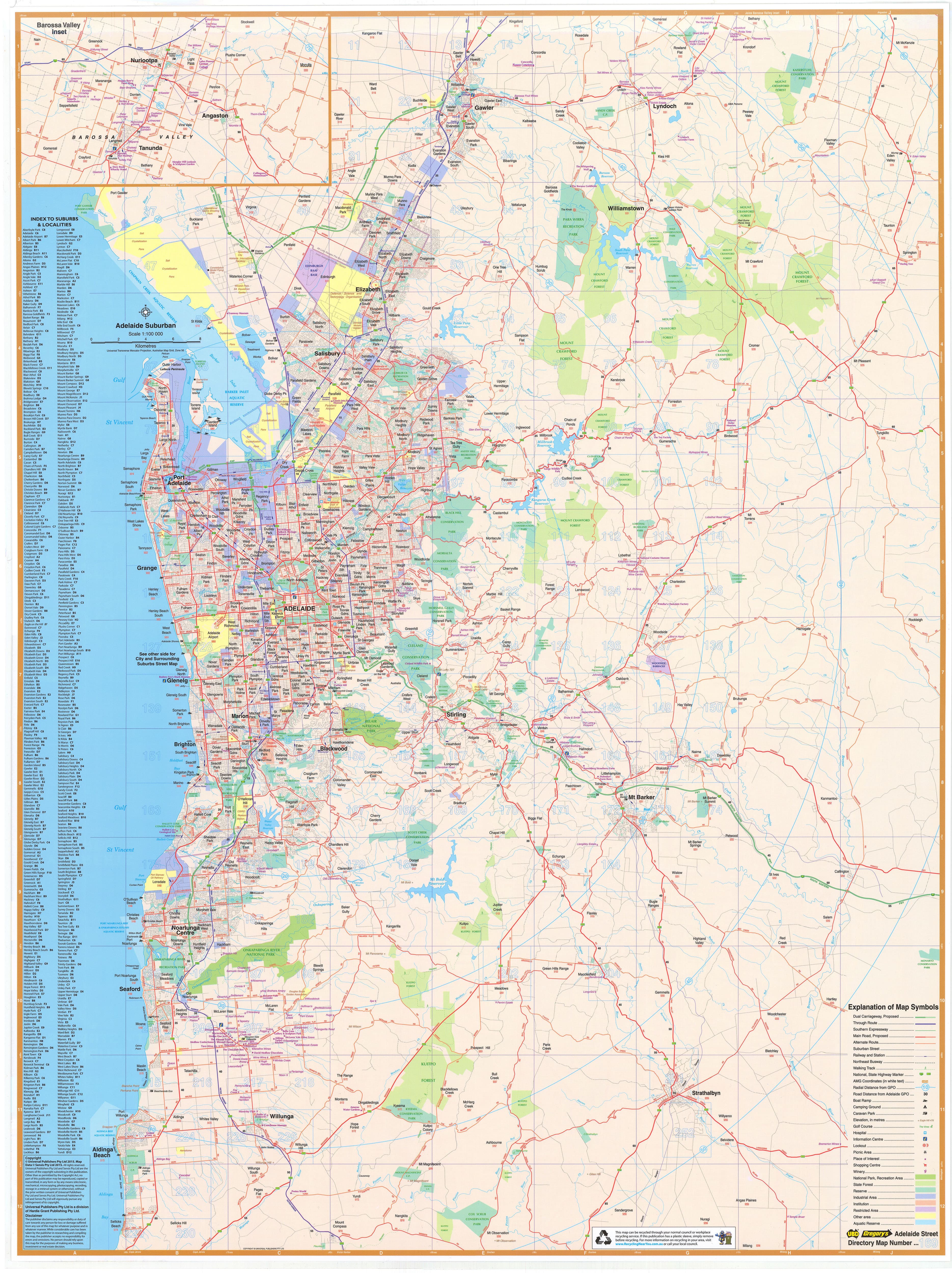
Western Australia — Hema State Map (Paper Wall Map)
700 × 1000 mm • Scale 1:2,500,000 • 170 gsm FSC® Matte-Coated Paper • Archival HP Pigment Inks • Made in Australia
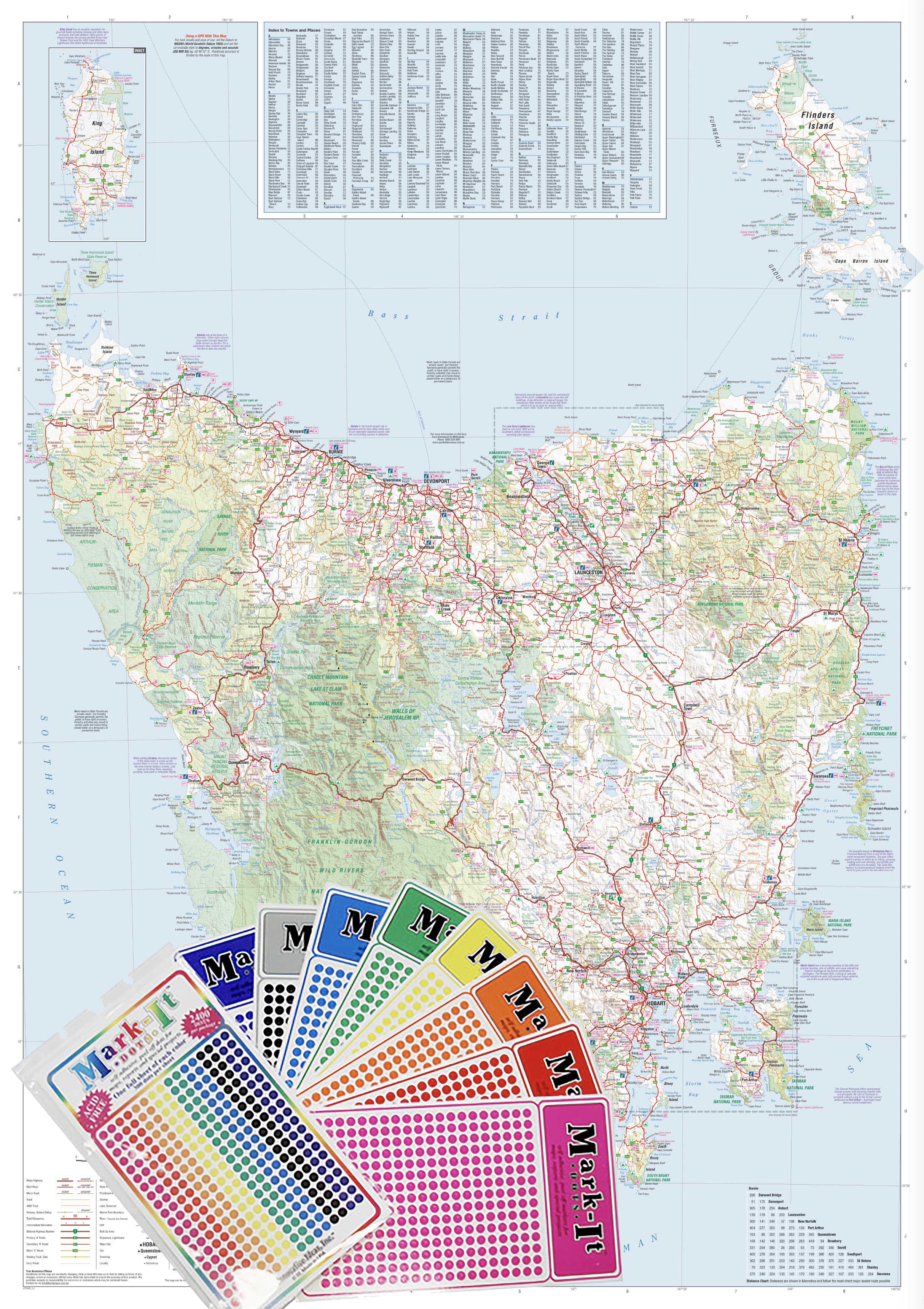
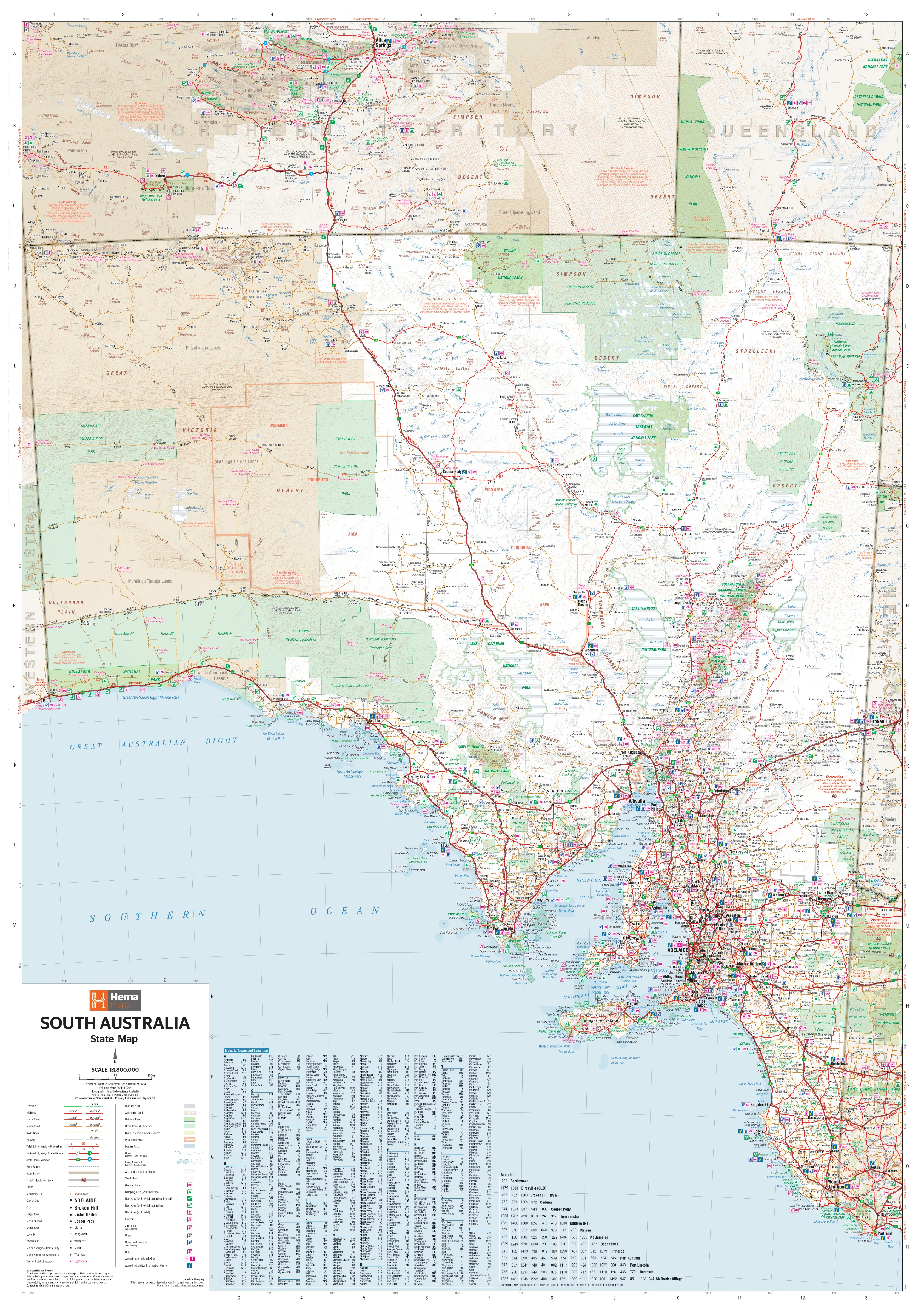
A crisp, statewide reference to Western Australia—from the coastal hubs of Perth and Broome to the Pilbara’s red heart and the forests of the South West. Hema’s trusted cartography balances detail and readability for planning, teaching, and daily reference.
🧭 Coverage & Content
-
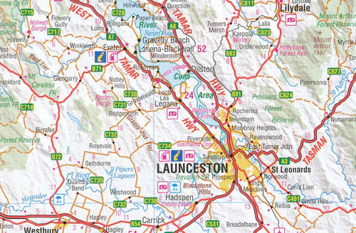
Entire State of WA: City, regional and remote contexts in one view.
-
Settlements: Capital, regional centres, rural towns, and remote outposts clearly labelled.
-
Road Network: Major highways, secondary roads, and selected 4WD-accessible tracks for trip awareness.
-
Wall-Readable Design: Calm palette, tuned line weights, tidy legend, and crisp typography for across-the-room clarity.
Why This Map Works
-
At-a-glance orientation: Trace long corridors, locate key towns, and plan stages quickly.
-
Briefing-ready: A single, dependable backdrop for itineraries, logistics, and classroom discussions.
-
Accurate & consistent: Hema’s field-informed data and cartographic standards keep details trustworthy and legible.
🌿 Materials & Print Quality
-
170 gsm FSC® matte-coated paper: Smooth, low-glare surface that preserves fine linework—ideal for framing under glass.
-
Archival HP pigment inks: Rich colour with excellent fade resistance for long-term display.
-
Sustainably sourced: FSC® certification supports responsible forestry.
Who Uses It (and How)
-
Travel & tourism planners: Sketch cross-state routes and regional stopovers.
-
Business & logistics teams: Visualise coverage, depots, and service regions.
-
Educators & libraries: Teach WA’s regions, transport structure, and settlement patterns.
-
Studios & home offices: Functional reference that doubles as handsome wall décor.
📐 Specifications
| Attribute | Details |
|---|---|
| Map Type | State Reference Map |
| Scale | 1:2,500,000 |
| Size | 700 mm (W) × 1000 mm (H) |
| Projection | Hema standard cartographic projection |
| Finish | Flat / Unlaminated (Paper) — framing under glass recommended |
| Paper | 170 gsm FSC® matte-coated |
| Inks | Archival HP pigment (fade-resistant) |
| Publisher | Hema Maps |
| Origin | Made in Australia |
🤝 Our Commitment
-
Local craftsmanship: Designed, printed, and finished in Australia for consistent quality and responsive support.
-
Archival quality: Premium FSC® paper and pigment inks selected for long-term clarity and colour stability.
-
Clarity first: Legends, symbols, and label hierarchies tuned for wall readability in real working environments.
-
Packed with care: Each print is hand-checked and securely shipped to arrive clean, flat, and framing-ready.
Bring Western Australia into sharp focus—a striking, accurate wall map for planning, teaching, and inspiration.