Western Australia UBD 670 map 1020 x 1480mm Laminated Wall Map
Flat Format | Laminated | Size: 1020 mm (W) x 1480 mm (H)
The definitive wall map for navigating, planning, and understanding the vast and varied terrain of Western Australia.
🌄 Command the Big Picture — From the Outback to the Coastline
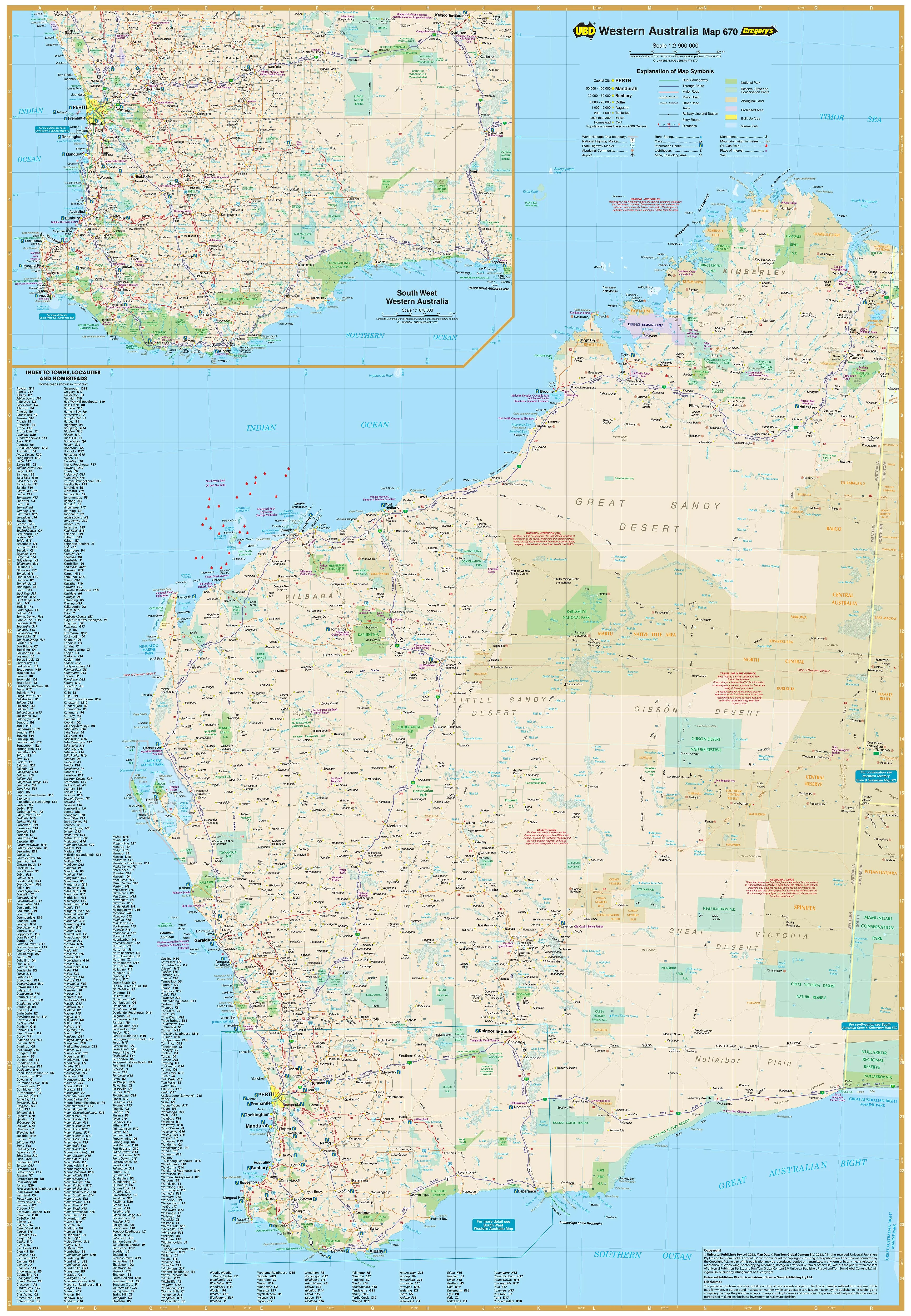
Covering an area that spans over 2.5 million square kilometres, Western Australia is Australia’s largest and arguably most diverse state — and this map captures it all with clarity and precision. Produced by UBD Gregory’s, a trusted name in Australian cartography, the UBD 670 Western Australia State Map is an essential visual tool for anyone involved in travel, logistics, regional development, education, or exploration.
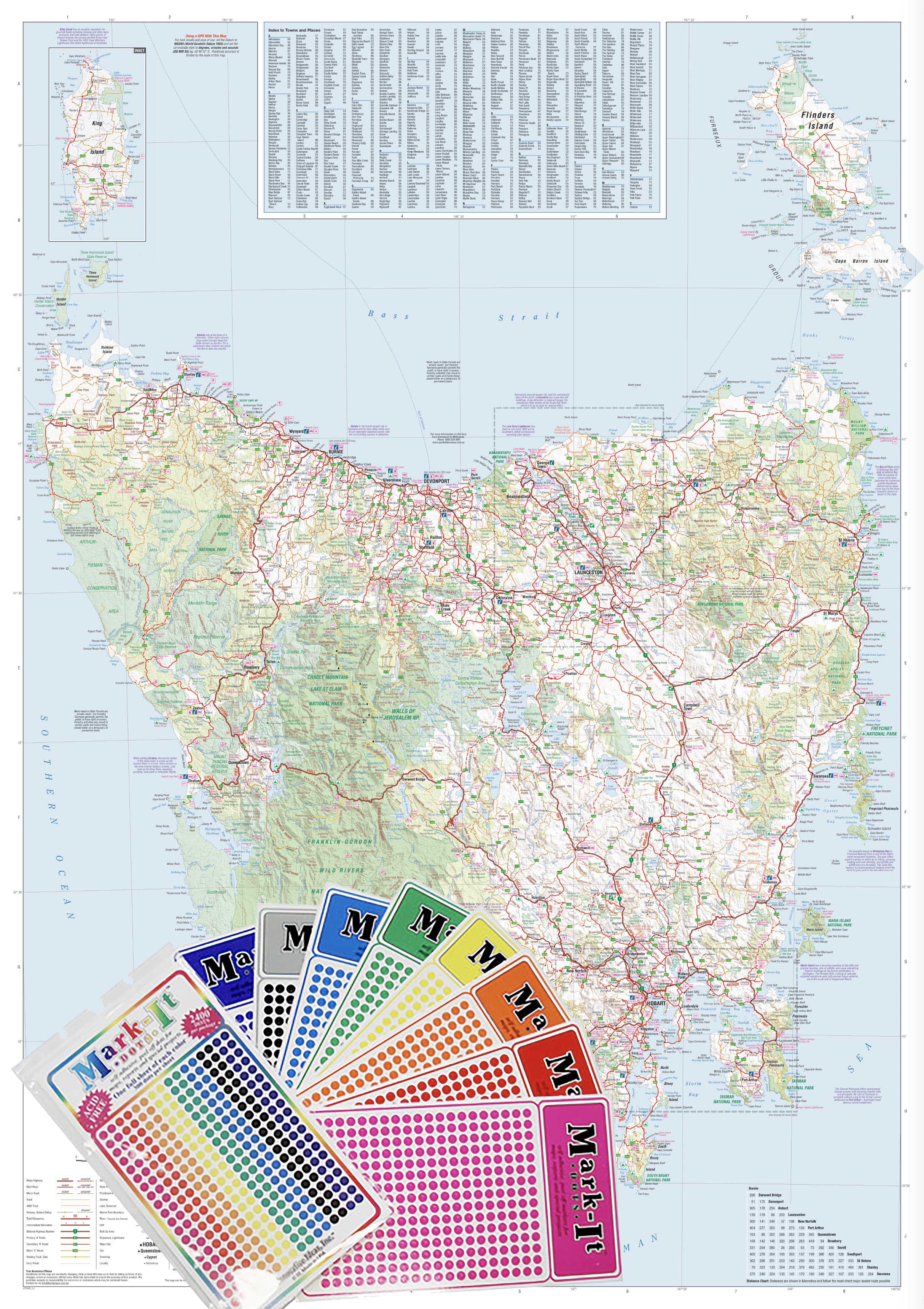
This laminated, flat wall map is large enough to display in offices, planning rooms, classrooms, or home study areas. It’s fully indexed, rich with cartographic detail, and includes a bonus inset of the South West corner of the state at a larger scale, offering greater precision where infrastructure and population density are at their highest.
🧭 Designed for Detail-Oriented Planning
Whether you're managing freight routes in the Pilbara, mapping a road trip through the Kimberley, or coordinating service regions across the Wheatbelt, this map gives you the detail and legibility to plan with confidence.
🔍 Inset Map: South West WA (Scale 1:870,000)
Zooms in on one of the state's most dynamic regions, covering cities and towns such as:
-
Perth
-
Fremantle
-
Bunbury
-
Margaret River
-
Albany
-
Busselton
Perfect for anyone working or travelling in the South West — a region rich in agriculture, wine, tourism, and coastal communities.
🌟 Key Features
| 🗂️ Feature | ✅ Benefit |
|---|---|
| State-wide coverage | See the full geographic scope of Western Australia in a single, readable format |
| Inset of South West WA (1:870,000) | Provides detailed mapping where population and infrastructure are densest |
| Major & minor towns indexed | Instantly locate regional centres, towns, and remote communities |
| National highways & dual carriageways | Clearly displayed for route planning and navigation |
| National parks & nature reserves | Green spaces and conservation areas visibly marked |
| Comprehensive road network | All major roads, connecting routes, and regional access roads included |
| Encapsulated in 80-micron gloss laminate | Waterproof, tear-resistant, and ready for whiteboard markers or map dots |
| Flat (unfolded) format | Delivered rolled in a tube — no creases, ready for immediate wall display |
📐 Product Specifications
| Specification | Description |
|---|---|
| Map Title | Western Australia UBD 670 Wall Map |
| Publisher | UBD Gregory’s |
| Primary Coverage | Entire state of Western Australia |
| Inset Coverage | South West WA (larger scale: 1:870,000) |
| Format | Flat wall map (laminated) |
| Finish | Gloss laminate (80-micron encapsulation) |
| Size | 1020 mm (W) x 1480 mm (H) |
| Index | Fully indexed with town and locality names |
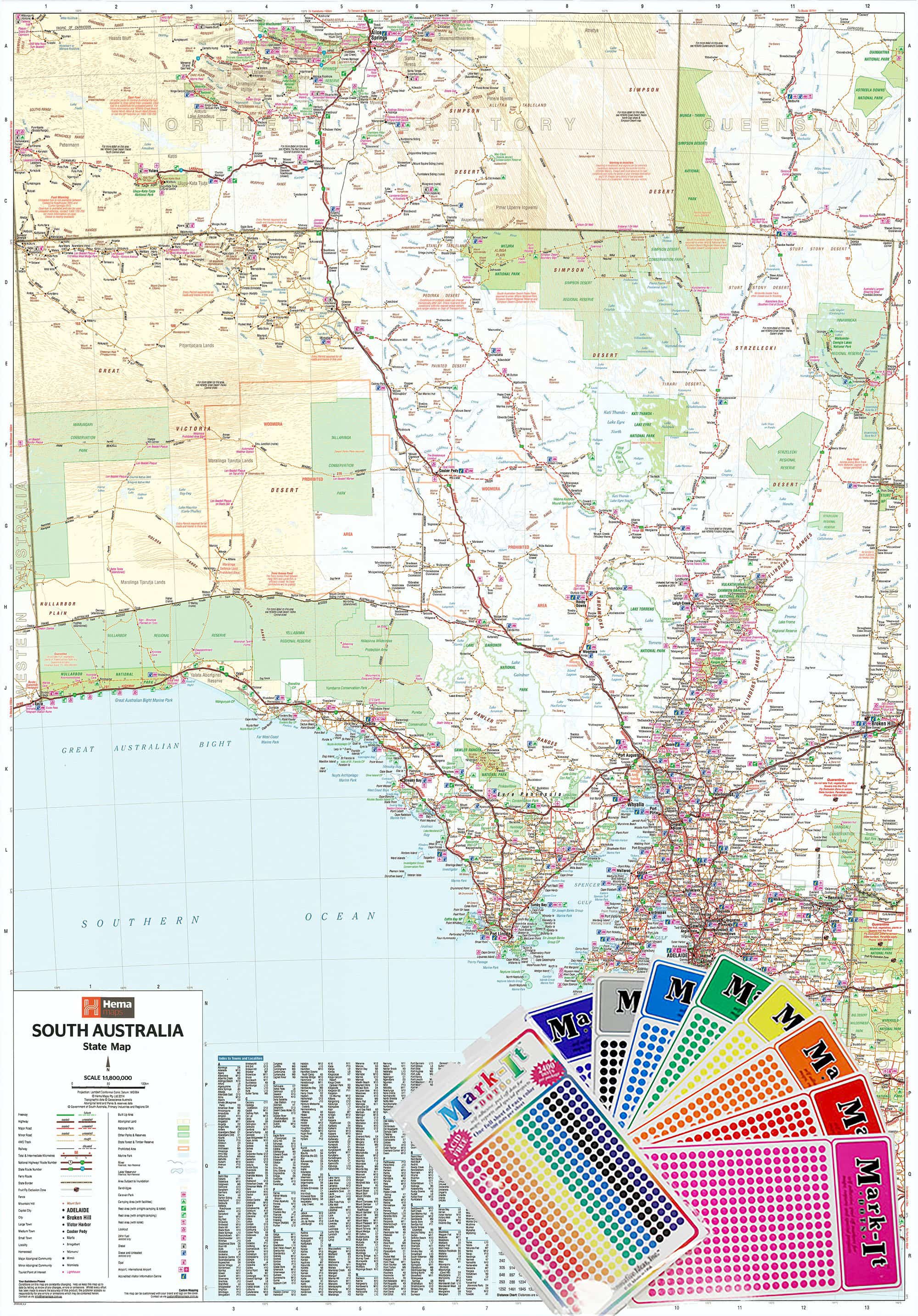
🛡️ Laminated for Longevity
This map has been professionally encapsulated in high-gloss 80-micron laminate, making it:
-
✏️ Write-on/Wipe-off Ready – mark routes, highlight service zones, or use with map dots
-
💧 Water- and stain-resistant – ideal for industrial, commercial, or travel environments
-
💪 Tear-resistant and durable – built to handle daily use in the field or office
🎯 Perfect For:
-
🏢 Corporate and logistics teams working across WA
-
🚛 Freight and delivery operators managing rural and regional networks
-
🧭 Travellers and 4WD adventurers planning routes through the outback
-
🧑🏫 Educators and classrooms needing a large, legible state reference
-
🏠 Home offices and study spaces where accurate Australian cartography is essential
-
📍 Infrastructure planners, surveyors, and consultants tracking service coverage
🌍 Why Choose UBD Gregory’s?
UBD Gregory’s has been mapping Australia’s roads, towns, and topography for decades — their maps are known for clarity, practicality, and unmatched detail. The UBD 670 Western Australia Map combines that heritage with modern design and print technology, resulting in a wall map that is both beautiful and built to perform.
Strategic. Durable. Beautifully detailed.
The Western Australia UBD 670 Laminated Wall Map is a must-have for those who need to see — and understand — the full scale of WA.
Original: $261.15
-65%$261.15
$91.40Product Information
Product Information
Shipping & Returns
Shipping & Returns
Description
Flat Format | Laminated | Size: 1020 mm (W) x 1480 mm (H)
The definitive wall map for navigating, planning, and understanding the vast and varied terrain of Western Australia.
🌄 Command the Big Picture — From the Outback to the Coastline
Covering an area that spans over 2.5 million square kilometres, Western Australia is Australia’s largest and arguably most diverse state — and this map captures it all with clarity and precision. Produced by UBD Gregory’s, a trusted name in Australian cartography, the UBD 670 Western Australia State Map is an essential visual tool for anyone involved in travel, logistics, regional development, education, or exploration.
This laminated, flat wall map is large enough to display in offices, planning rooms, classrooms, or home study areas. It’s fully indexed, rich with cartographic detail, and includes a bonus inset of the South West corner of the state at a larger scale, offering greater precision where infrastructure and population density are at their highest.
🧭 Designed for Detail-Oriented Planning
Whether you're managing freight routes in the Pilbara, mapping a road trip through the Kimberley, or coordinating service regions across the Wheatbelt, this map gives you the detail and legibility to plan with confidence.
🔍 Inset Map: South West WA (Scale 1:870,000)
Zooms in on one of the state's most dynamic regions, covering cities and towns such as:
-
Perth
-
Fremantle
-
Bunbury
-
Margaret River
-
Albany
-
Busselton
Perfect for anyone working or travelling in the South West — a region rich in agriculture, wine, tourism, and coastal communities.
🌟 Key Features
| 🗂️ Feature | ✅ Benefit |
|---|---|
| State-wide coverage | See the full geographic scope of Western Australia in a single, readable format |
| Inset of South West WA (1:870,000) | Provides detailed mapping where population and infrastructure are densest |
| Major & minor towns indexed | Instantly locate regional centres, towns, and remote communities |
| National highways & dual carriageways | Clearly displayed for route planning and navigation |
| National parks & nature reserves | Green spaces and conservation areas visibly marked |
| Comprehensive road network | All major roads, connecting routes, and regional access roads included |
| Encapsulated in 80-micron gloss laminate | Waterproof, tear-resistant, and ready for whiteboard markers or map dots |
| Flat (unfolded) format | Delivered rolled in a tube — no creases, ready for immediate wall display |
📐 Product Specifications
| Specification | Description |
|---|---|
| Map Title | Western Australia UBD 670 Wall Map |
| Publisher | UBD Gregory’s |
| Primary Coverage | Entire state of Western Australia |
| Inset Coverage | South West WA (larger scale: 1:870,000) |
| Format | Flat wall map (laminated) |
| Finish | Gloss laminate (80-micron encapsulation) |
| Size | 1020 mm (W) x 1480 mm (H) |
| Index | Fully indexed with town and locality names |
🛡️ Laminated for Longevity
This map has been professionally encapsulated in high-gloss 80-micron laminate, making it:
-
✏️ Write-on/Wipe-off Ready – mark routes, highlight service zones, or use with map dots
-
💧 Water- and stain-resistant – ideal for industrial, commercial, or travel environments
-
💪 Tear-resistant and durable – built to handle daily use in the field or office
🎯 Perfect For:
-
🏢 Corporate and logistics teams working across WA
-
🚛 Freight and delivery operators managing rural and regional networks
-
🧭 Travellers and 4WD adventurers planning routes through the outback
-
🧑🏫 Educators and classrooms needing a large, legible state reference
-
🏠 Home offices and study spaces where accurate Australian cartography is essential
-
📍 Infrastructure planners, surveyors, and consultants tracking service coverage
🌍 Why Choose UBD Gregory’s?
UBD Gregory’s has been mapping Australia’s roads, towns, and topography for decades — their maps are known for clarity, practicality, and unmatched detail. The UBD 670 Western Australia Map combines that heritage with modern design and print technology, resulting in a wall map that is both beautiful and built to perform.
Strategic. Durable. Beautifully detailed.
The Western Australia UBD 670 Laminated Wall Map is a must-have for those who need to see — and understand — the full scale of WA.