World Executive Antique Style National Geographic 1852 x 1219mm (Africa Centred) Super Wall Map
World Executive Antique Style National Geographic 1852 x 1219mm (Africa Centred) Super Wall Map
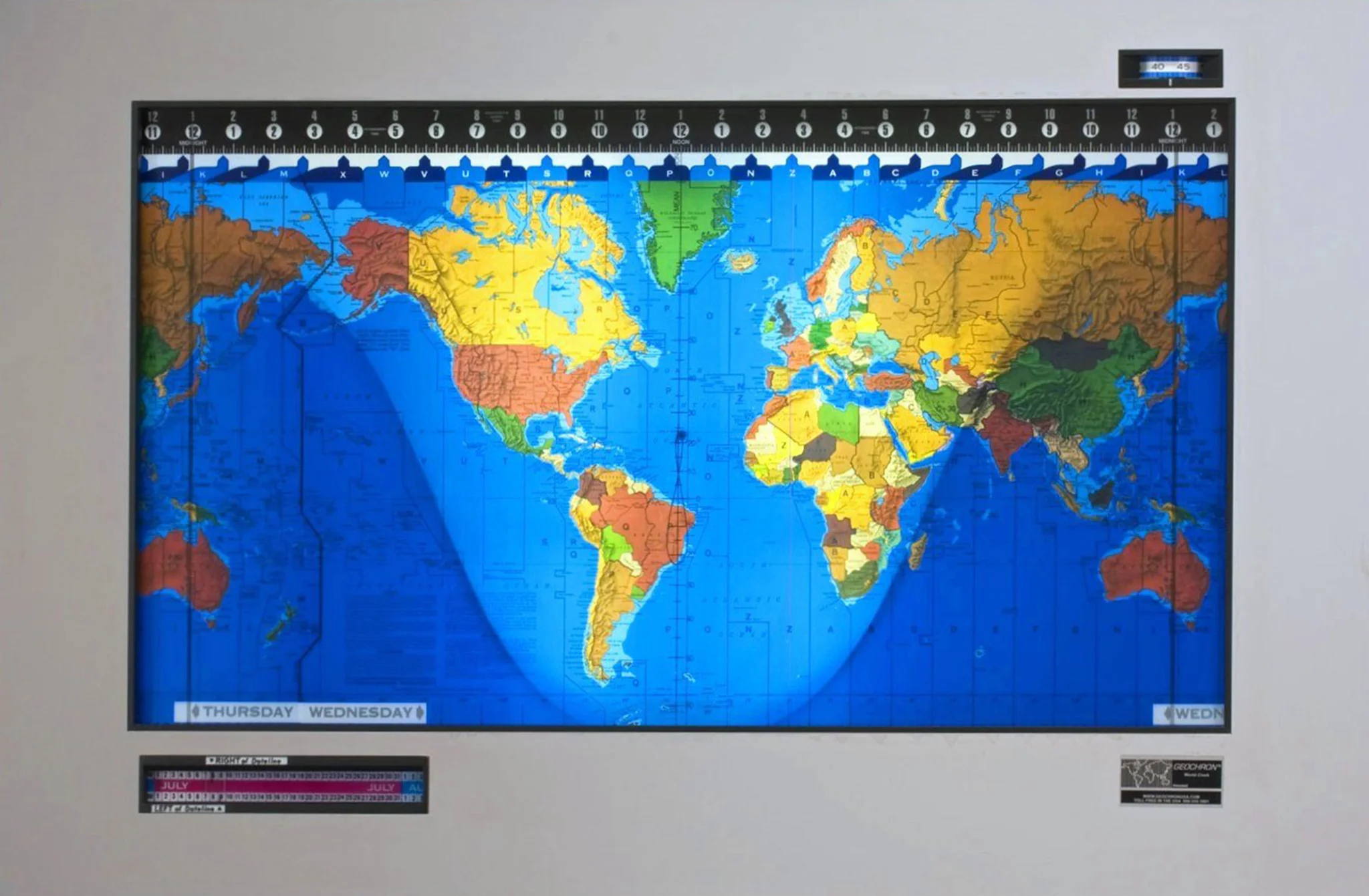
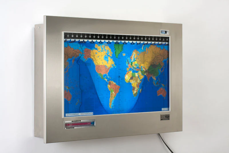
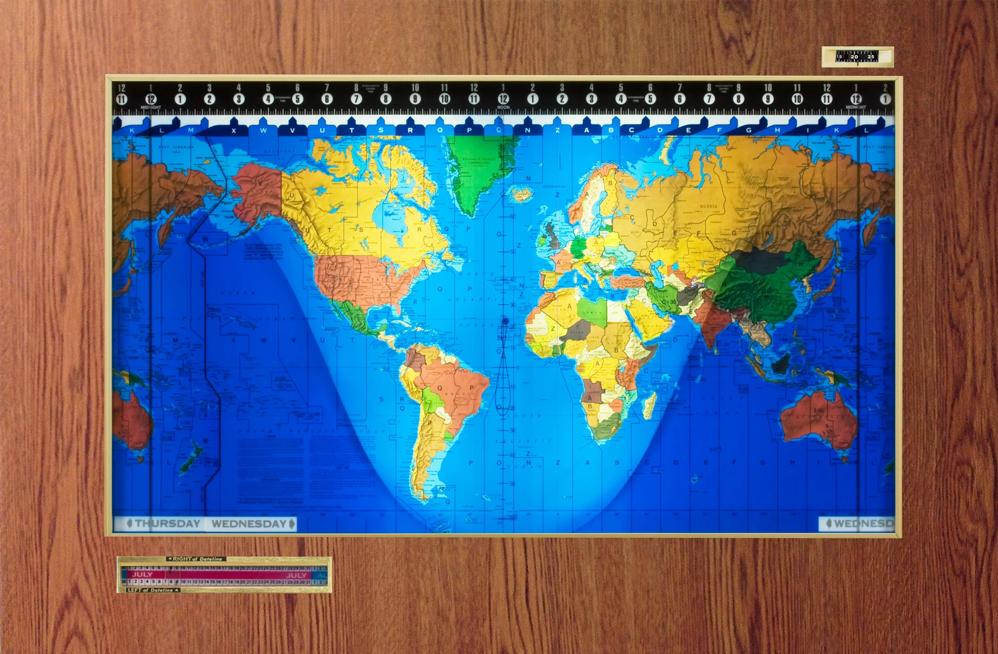
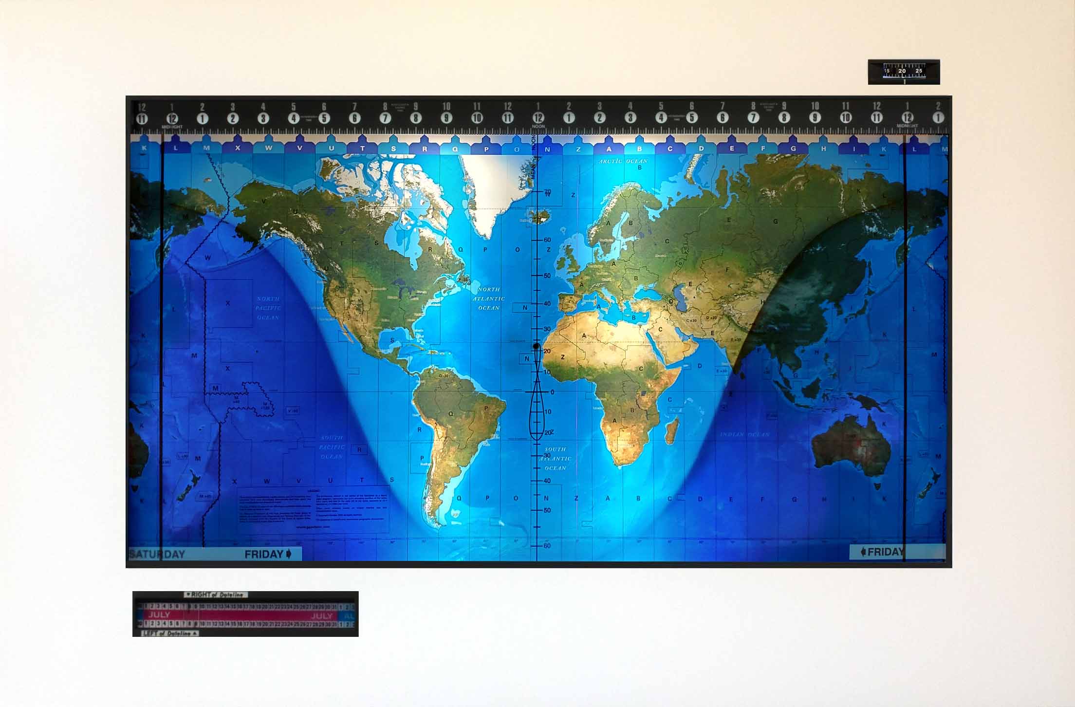
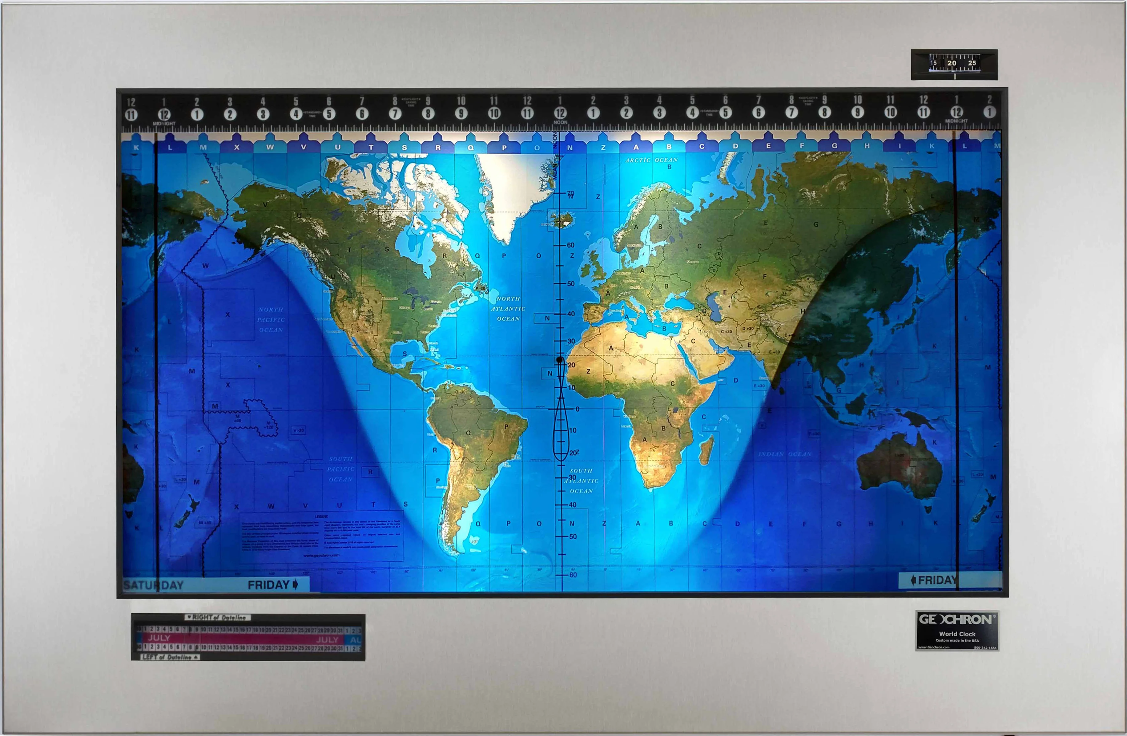
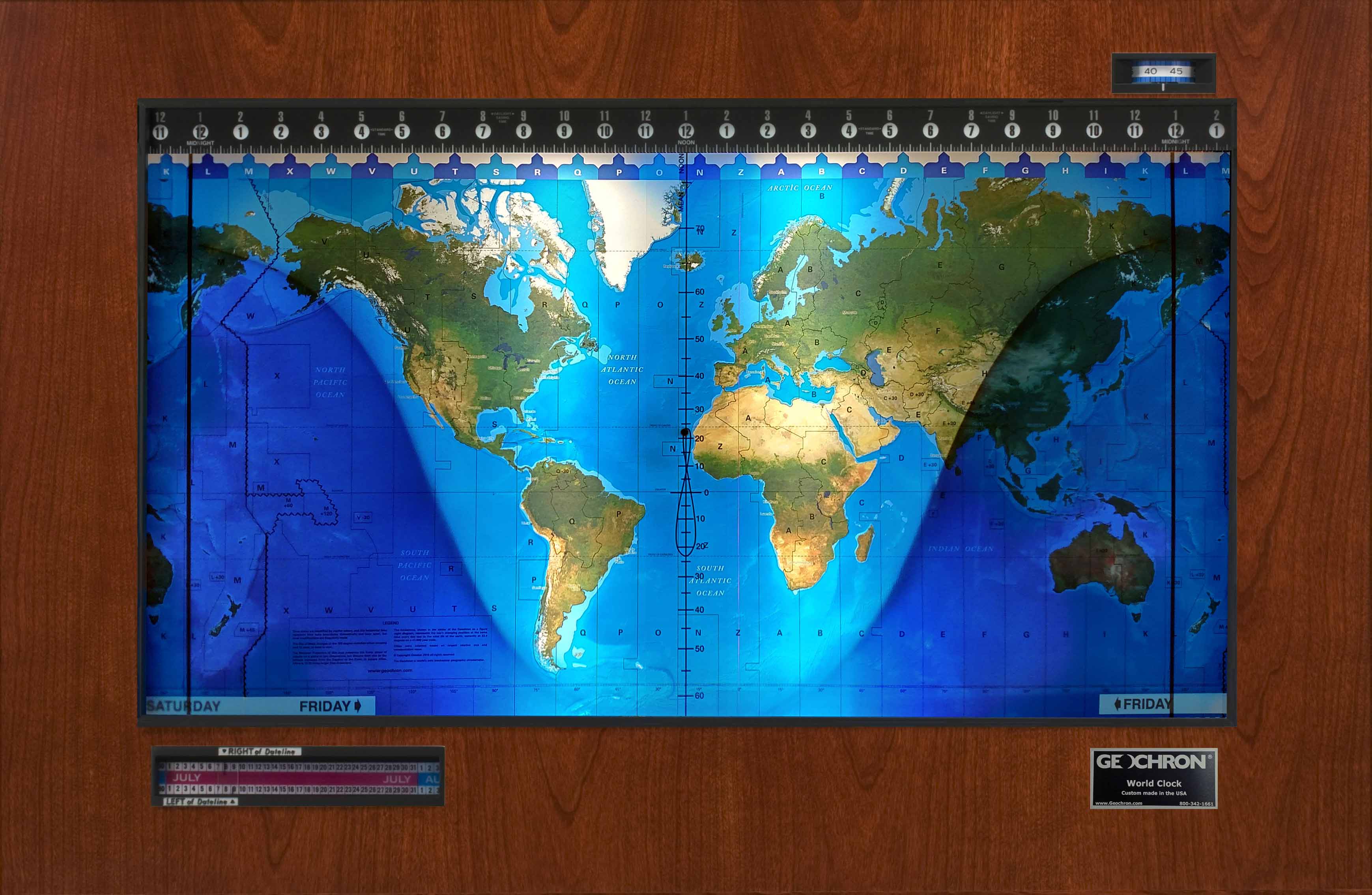
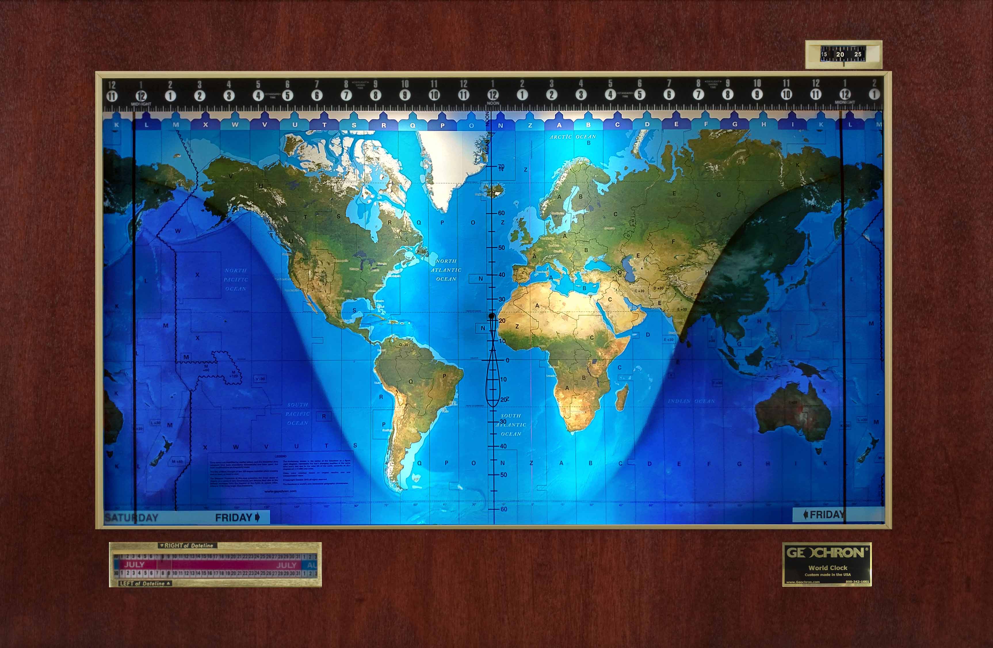
Size: 1852 mm (W) x 1219 mm (H)
Projection: Winkel Tripel
Language: English
Printed in Australia
🗺️ A Grand Worldview in Timeless Style
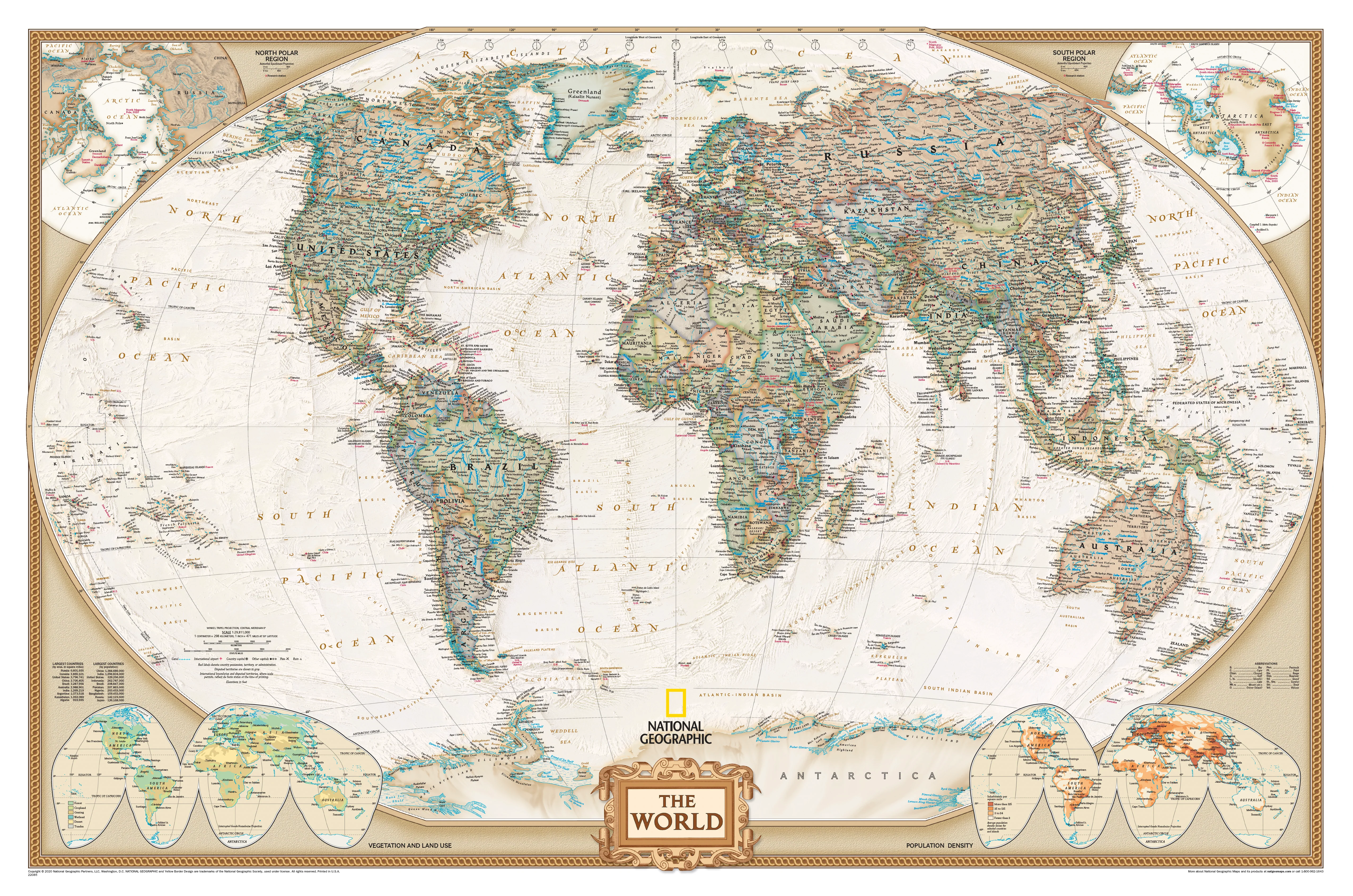
Step into the elegance of classic cartography with this Africa-centred World Executive Political Map by National Geographic—a masterful blend of current geopolitical data and antique design aesthetics. With its sweeping size and richly toned palette, this map offers both a visually striking centrepiece and an authoritative reference.
Designed for scholars, decorators, professionals, and explorers alike, this edition delivers unparalleled clarity, quality, and style. It’s not just a map—it’s a statement.
🌐 Key Features at a Glance
-
Winkel Tripel Projection – National Geographic’s standard for world maps, offering the best balance of shape and scale with minimal distortion. Greenland, Africa, and South America appear in proper proportion.
-
Detailed Political Boundaries – Current international borders and capital cities, meticulously researched and updated.
-
Inset Thematic Maps – Explore global population density, land use, and vegetation zones through beautifully rendered insets.
-
Thousands of Place Names – Includes countries, capitals, rivers, mountain ranges, oceans, island groups, and more.
-
Warm Antique Palette – Elegant earth tones evoke vintage charm while preserving modern accuracy and clarity.
🎨 Perfect For
| Use Case | Description |
|---|---|
| 🎓 Educators | A powerful visual aid for schools, libraries, and homeschooling. |
| 🗺️ Travellers | Ideal for planning, dreaming, and charting personal adventures. |
| 🏛️ Offices & Boardrooms | Adds sophistication and global perspective to any professional space. |
| 🏡 Home & Family | An engaging way to inspire curiosity and conversation at home. |
| 📚 Collectors | A valuable addition for cartography enthusiasts and collectors. |
| 🧑 Presenters | A refined and functional backdrop for talks, lectures, and events. |
📐 Specifications
| Feature | Detail |
|---|---|
| Map Size | 1852 mm (width) x 1219 mm (height) |
| Scale | 1:22,445,000 |
| Projection | Winkel Tripel |
| Language | English |
| Published | 2020 |
| Printed In | Australia |
📄 Choose Your Finish
📜 Paper – 160 gsm Matte Art Paper
-
Ideal for framing under glass
-
Lightweight, easy to handle and roll
-
Printed with archival-quality ink
💧 Laminated – 80 Micron Gloss Encapsulation
-
Double-sided lamination for exceptional durability
-
Wipeable surface – use with whiteboard markers
-
Resistant to tears, moisture, and creases
-
✅ Optional: Add wooden hang rails for easy wall display
🖼️ Canvas – 395 gsm HP Matte Canvas
-
Pigment-based inks for rich colour and fade resistance
-
Textured finish, perfect for artful presentation
-
Incredibly hardwearing
-
✅ Optional: Add wooden hang rails for a classic scroll-style finish
🪵 Optional Hang Rails (for Canvas or Laminated Maps)
Transform your map into a ready-to-hang showpiece with lacquered timber rails:
-
Timber battens top and bottom in a natural finish
-
Discreet cord on the top rail for easy hanging
-
No frame required – perfect for homes, offices, or rental spaces
-
🔨 Just one hook or nail is all you need
🕒 Please allow up to 10 business days for hang-railed options, as each is hand-finished by our professional framer.
📦 Shipping & Delivery
-
All maps are rolled and shipped in protective tubes
-
Laminated and canvas versions available flat or hang-railed
-
Printed and dispatched from Australia
🌎 Bring the World to Your Wall
Whether you're studying global history, planning your next journey, or simply looking to elevate your space with a stunning piece of cartographic art, this Africa-centred World Executive Political Wall Map delivers timeless elegance and modern precision in perfect harmony.
Order yours today—and let the world unfold before you.
Product Information
Product Information
Shipping & Returns
Shipping & Returns
Description
Size: 1852 mm (W) x 1219 mm (H)
Projection: Winkel Tripel
Language: English
Printed in Australia
🗺️ A Grand Worldview in Timeless Style
Step into the elegance of classic cartography with this Africa-centred World Executive Political Map by National Geographic—a masterful blend of current geopolitical data and antique design aesthetics. With its sweeping size and richly toned palette, this map offers both a visually striking centrepiece and an authoritative reference.
Designed for scholars, decorators, professionals, and explorers alike, this edition delivers unparalleled clarity, quality, and style. It’s not just a map—it’s a statement.
🌐 Key Features at a Glance
-
Winkel Tripel Projection – National Geographic’s standard for world maps, offering the best balance of shape and scale with minimal distortion. Greenland, Africa, and South America appear in proper proportion.
-
Detailed Political Boundaries – Current international borders and capital cities, meticulously researched and updated.
-
Inset Thematic Maps – Explore global population density, land use, and vegetation zones through beautifully rendered insets.
-
Thousands of Place Names – Includes countries, capitals, rivers, mountain ranges, oceans, island groups, and more.
-
Warm Antique Palette – Elegant earth tones evoke vintage charm while preserving modern accuracy and clarity.
🎨 Perfect For
| Use Case | Description |
|---|---|
| 🎓 Educators | A powerful visual aid for schools, libraries, and homeschooling. |
| 🗺️ Travellers | Ideal for planning, dreaming, and charting personal adventures. |
| 🏛️ Offices & Boardrooms | Adds sophistication and global perspective to any professional space. |
| 🏡 Home & Family | An engaging way to inspire curiosity and conversation at home. |
| 📚 Collectors | A valuable addition for cartography enthusiasts and collectors. |
| 🧑 Presenters | A refined and functional backdrop for talks, lectures, and events. |
📐 Specifications
| Feature | Detail |
|---|---|
| Map Size | 1852 mm (width) x 1219 mm (height) |
| Scale | 1:22,445,000 |
| Projection | Winkel Tripel |
| Language | English |
| Published | 2020 |
| Printed In | Australia |
📄 Choose Your Finish
📜 Paper – 160 gsm Matte Art Paper
-
Ideal for framing under glass
-
Lightweight, easy to handle and roll
-
Printed with archival-quality ink
💧 Laminated – 80 Micron Gloss Encapsulation
-
Double-sided lamination for exceptional durability
-
Wipeable surface – use with whiteboard markers
-
Resistant to tears, moisture, and creases
-
✅ Optional: Add wooden hang rails for easy wall display
🖼️ Canvas – 395 gsm HP Matte Canvas
-
Pigment-based inks for rich colour and fade resistance
-
Textured finish, perfect for artful presentation
-
Incredibly hardwearing
-
✅ Optional: Add wooden hang rails for a classic scroll-style finish
🪵 Optional Hang Rails (for Canvas or Laminated Maps)
Transform your map into a ready-to-hang showpiece with lacquered timber rails:
-
Timber battens top and bottom in a natural finish
-
Discreet cord on the top rail for easy hanging
-
No frame required – perfect for homes, offices, or rental spaces
-
🔨 Just one hook or nail is all you need
🕒 Please allow up to 10 business days for hang-railed options, as each is hand-finished by our professional framer.
📦 Shipping & Delivery
-
All maps are rolled and shipped in protective tubes
-
Laminated and canvas versions available flat or hang-railed
-
Printed and dispatched from Australia
🌎 Bring the World to Your Wall
Whether you're studying global history, planning your next journey, or simply looking to elevate your space with a stunning piece of cartographic art, this Africa-centred World Executive Political Wall Map delivers timeless elegance and modern precision in perfect harmony.
Order yours today—and let the world unfold before you.