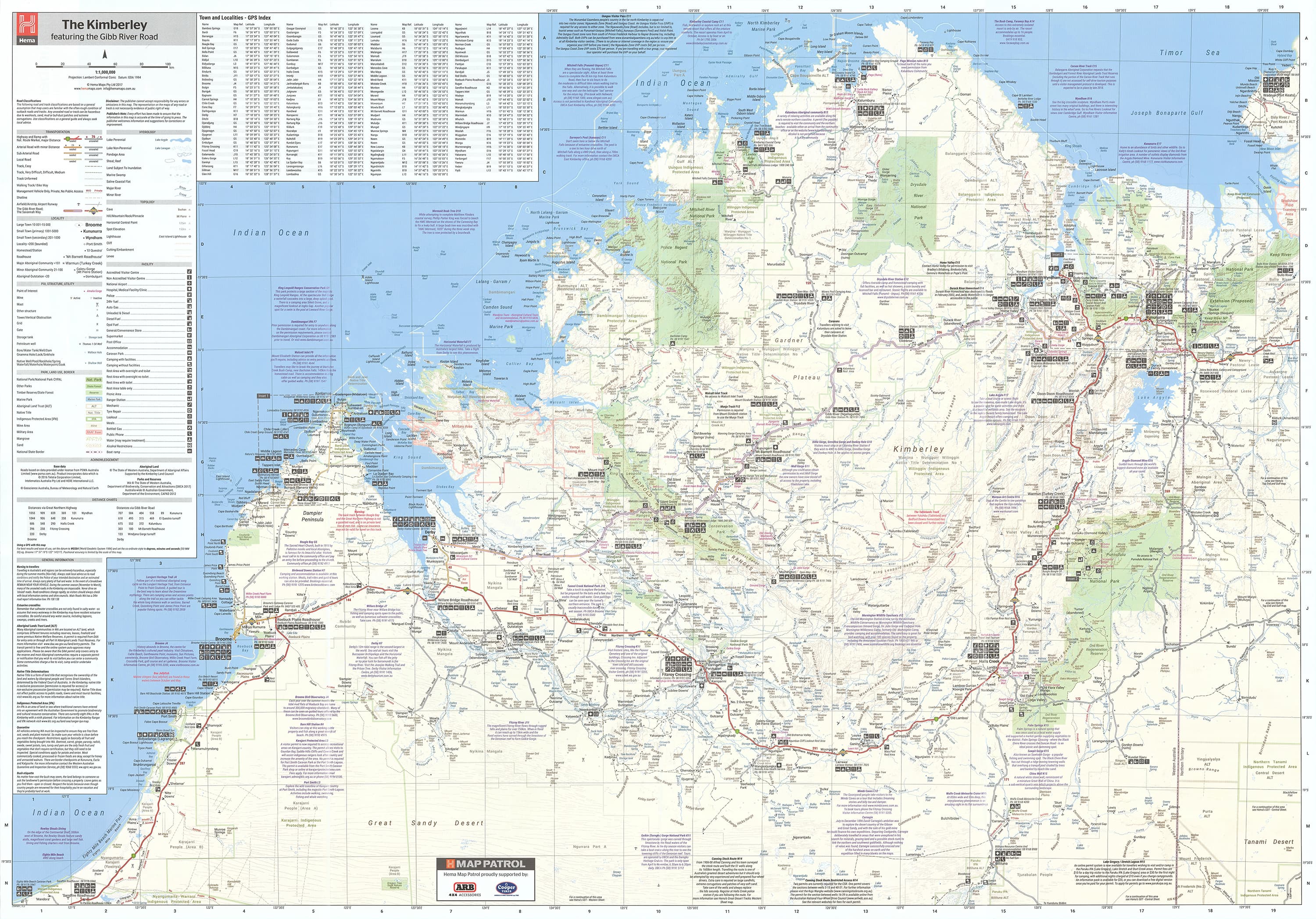
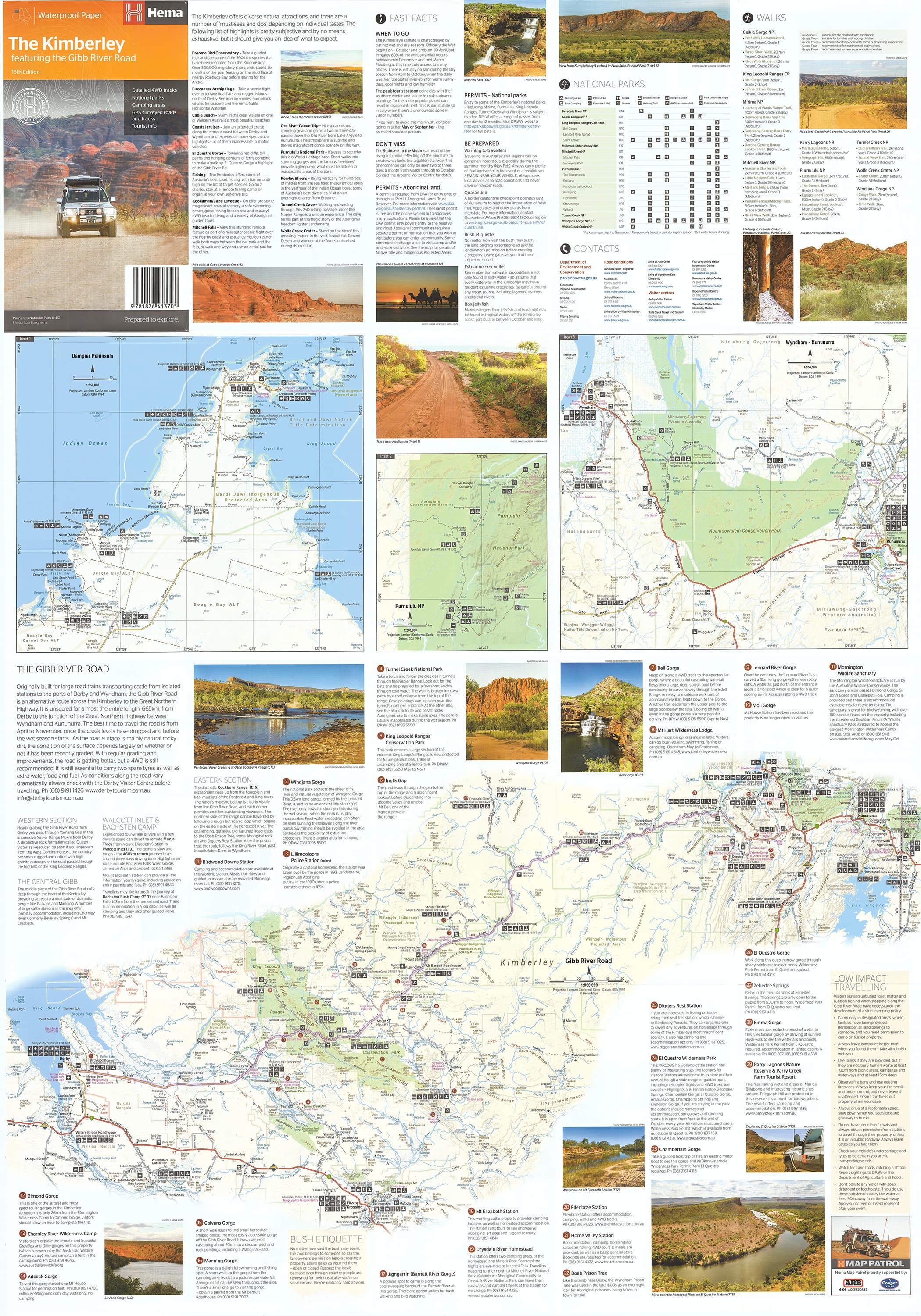
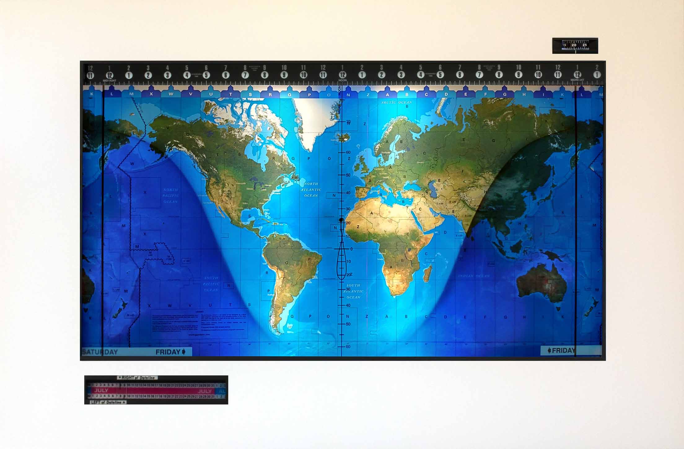
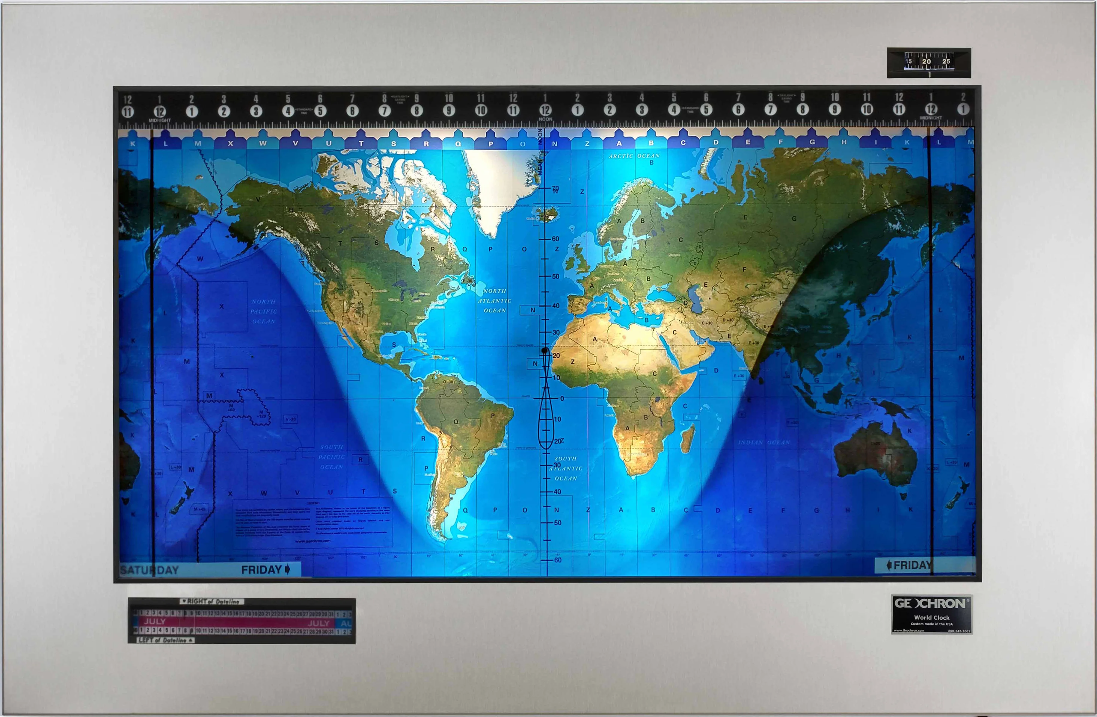
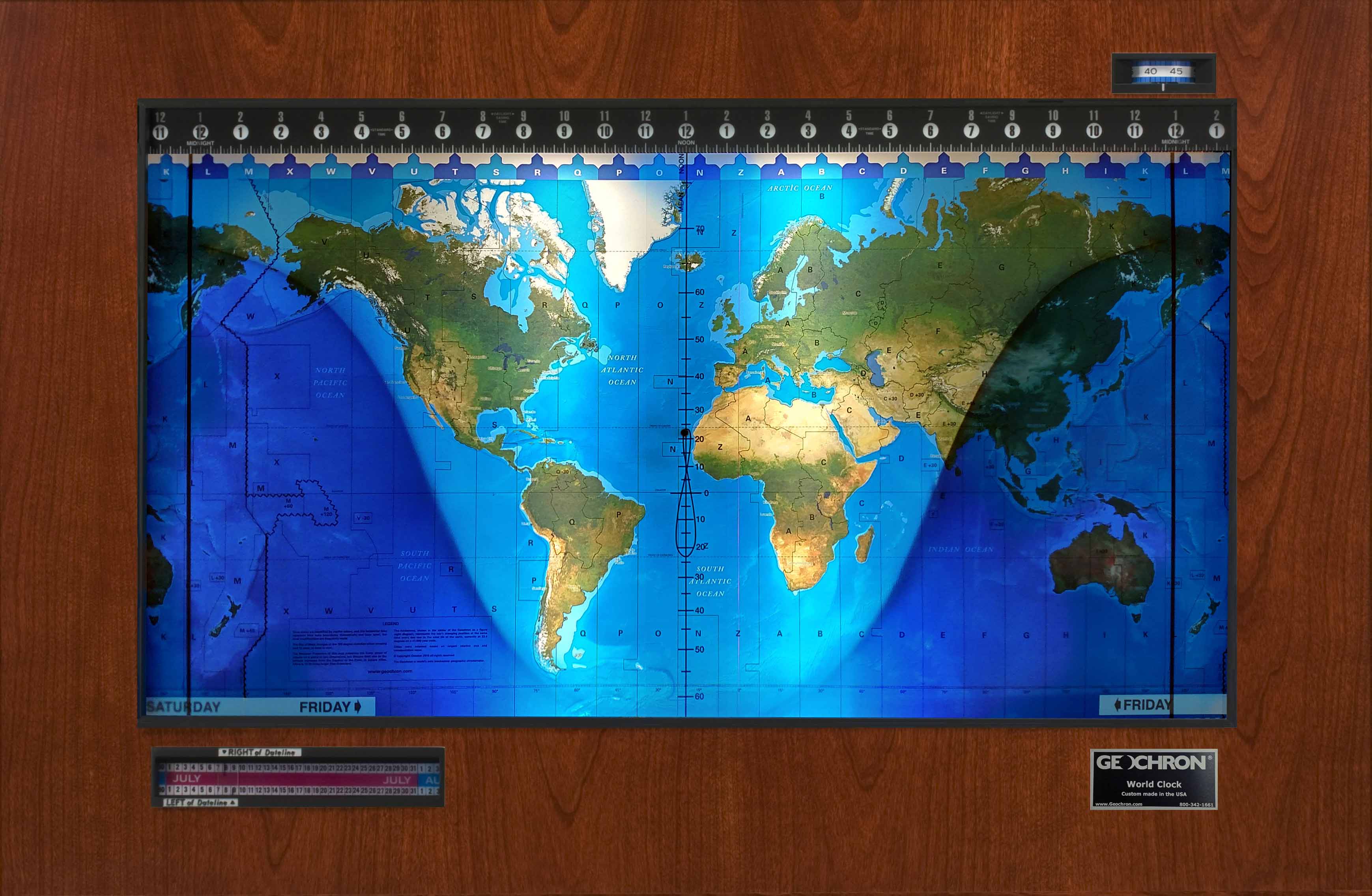
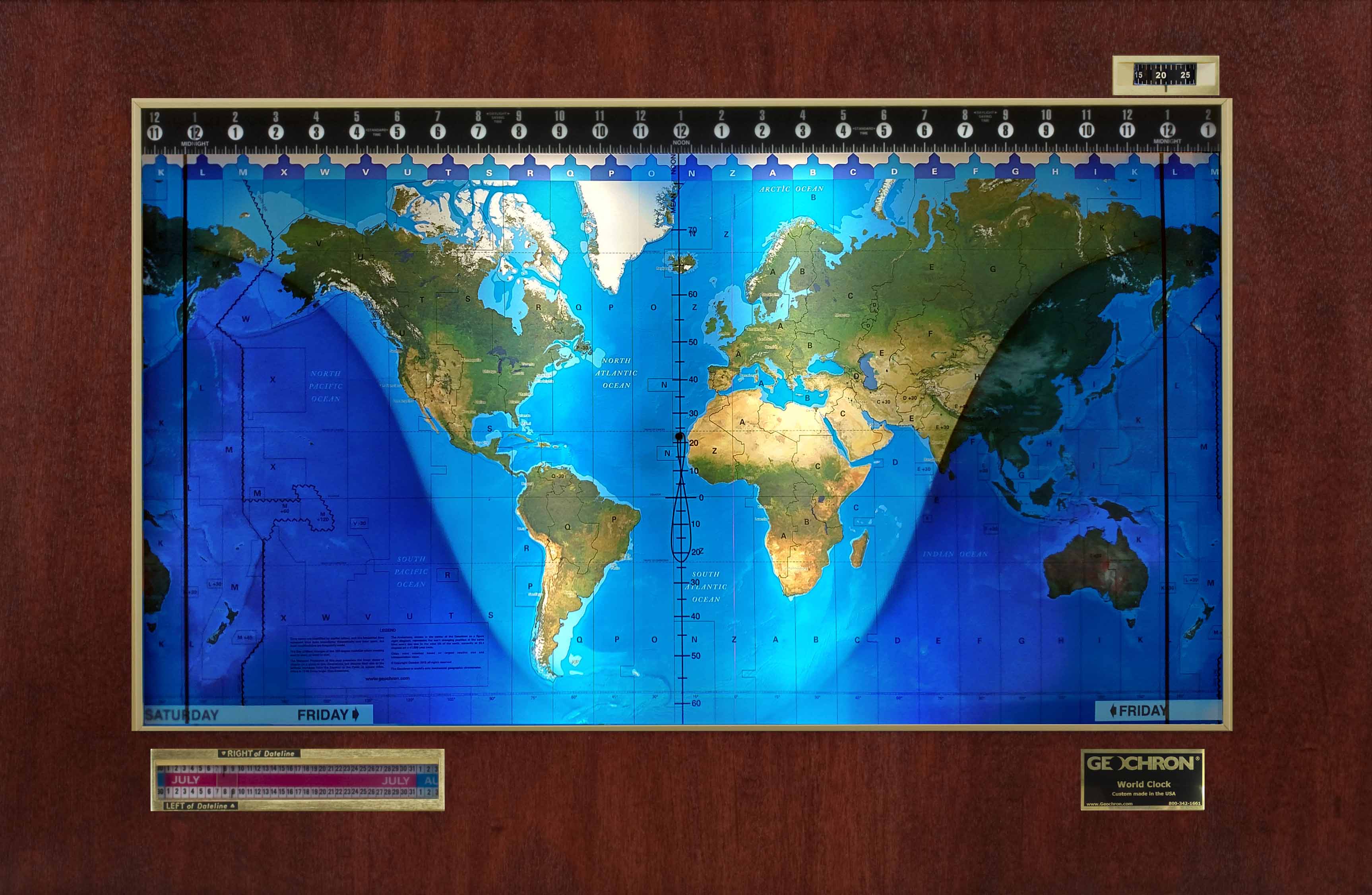
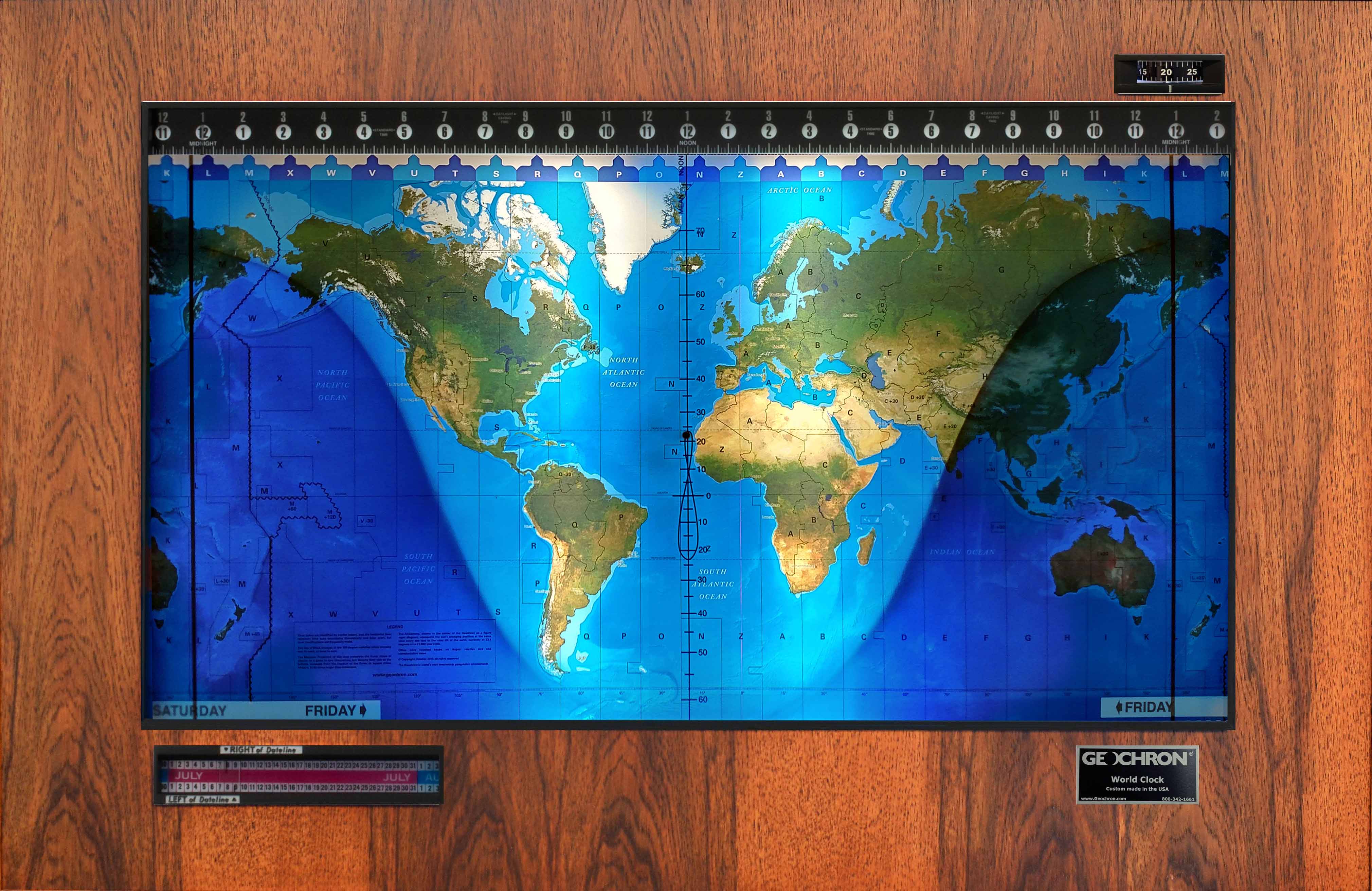
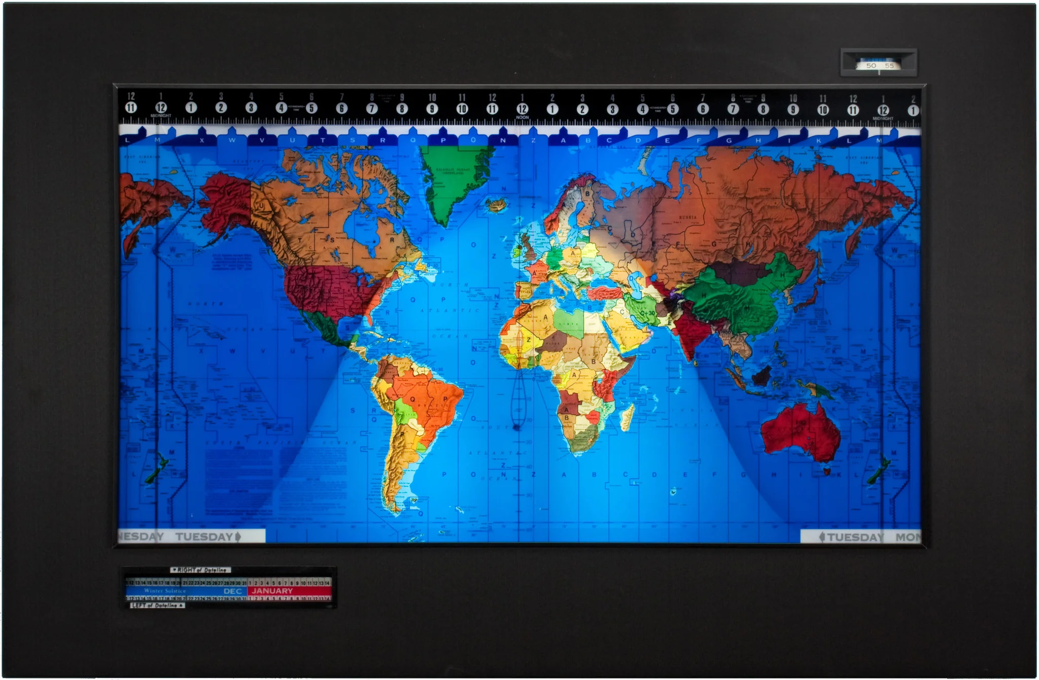
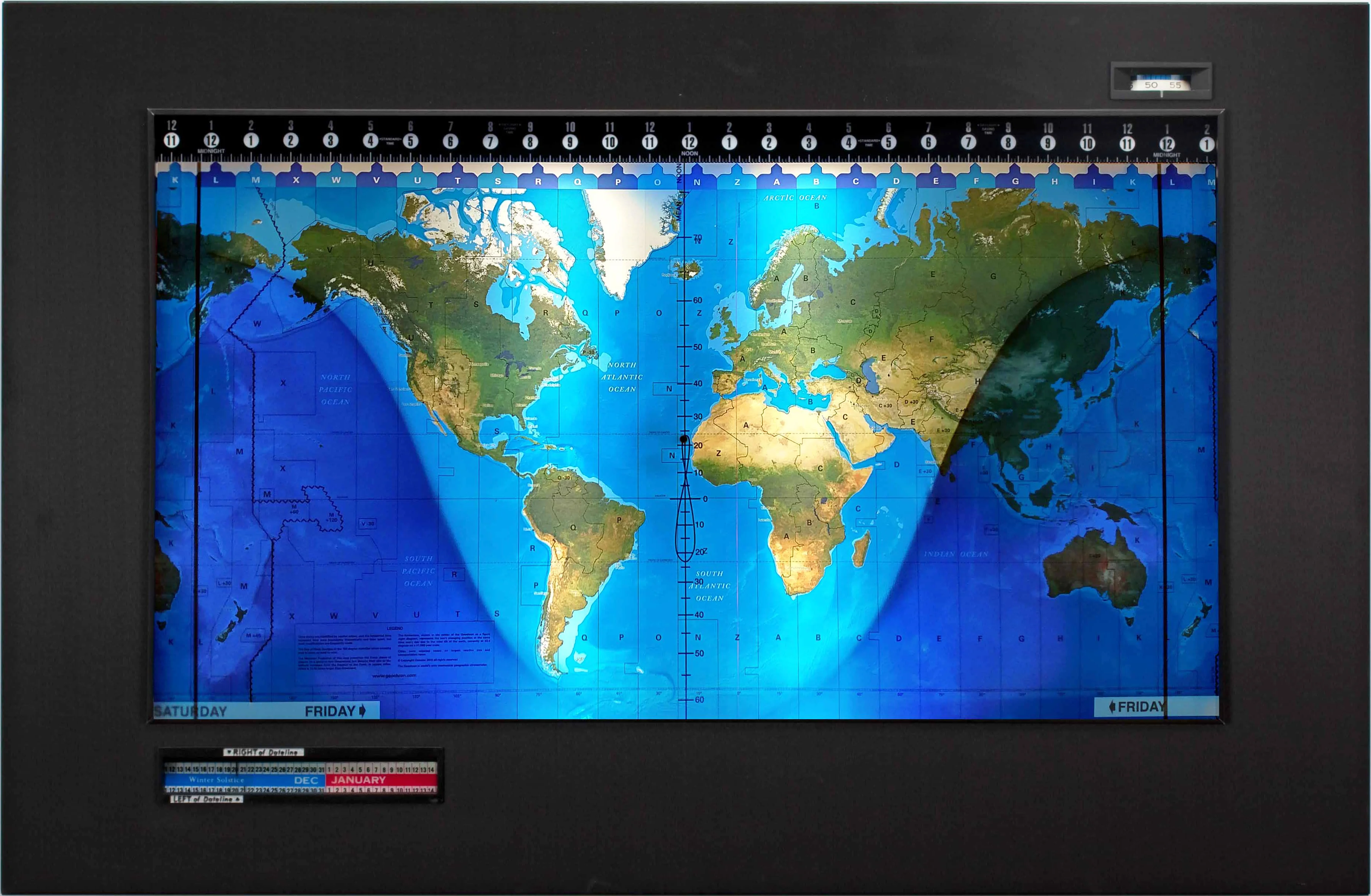
World Executive Antique Style National Geographic 1540 x 1020mm (Africa Centred) Large Laminated Wall Map with Hang Rails
World Executive Antique Style National Geographic 1540 x 1020mm (Africa Centred) Large Laminated Wall Map with Hang Rails
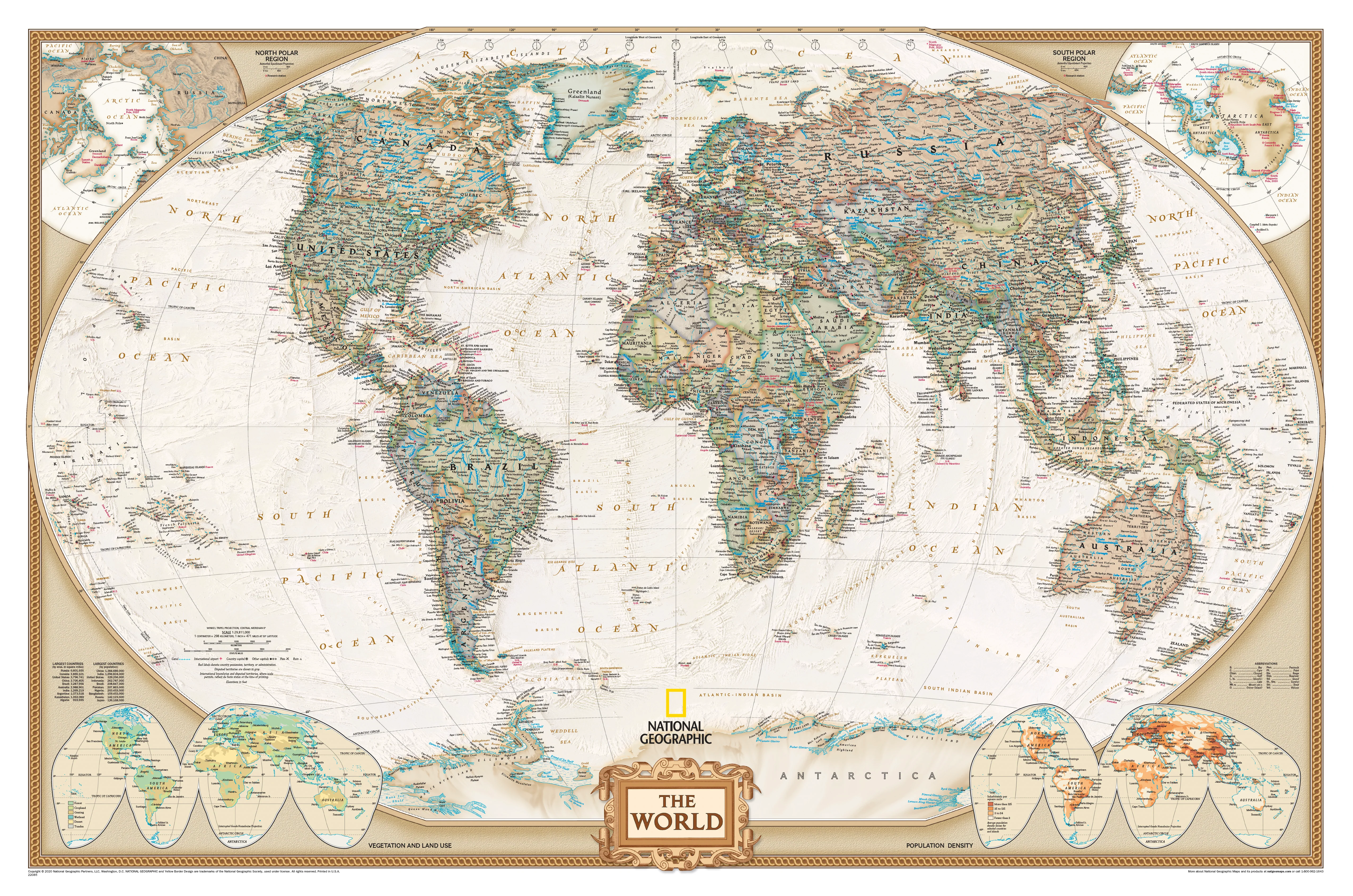
Classic Elegance Meets Modern Geopolitical Accuracy
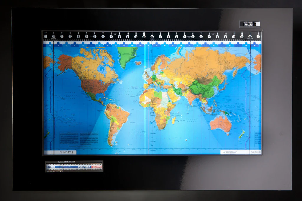
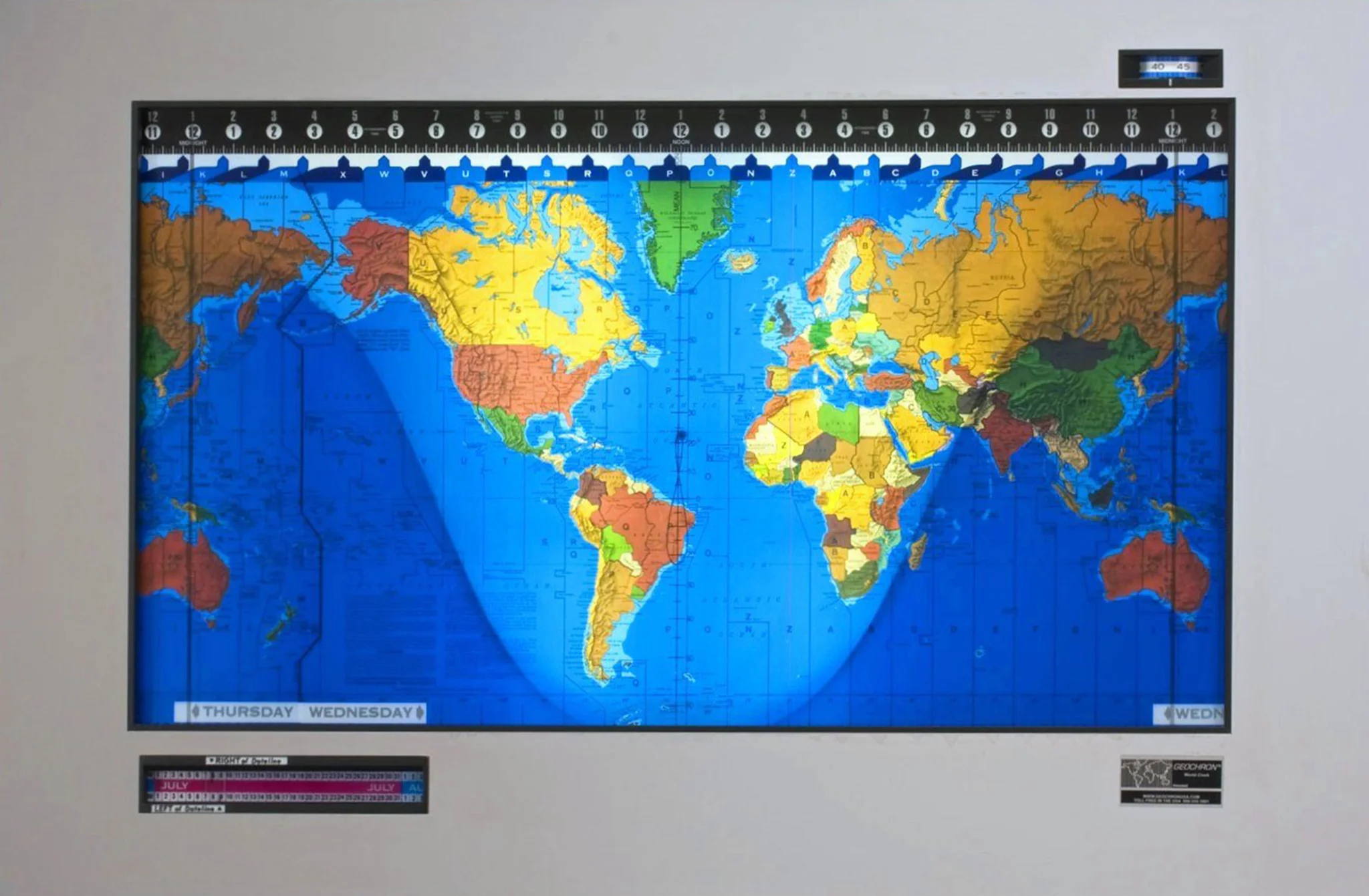
Step into a world of exploration and timeless beauty with National Geographic’s World Executive Political Map—an expertly crafted cartographic masterpiece that brings together cutting-edge geographical data and an elegant, antique-inspired design. Perfect for professionals, educators, travellers, or those with a lifelong love of geography, this is more than just a map—it’s a window into the world.
With its rich, earth-toned colour palette and outstanding level of detail, the World Executive Map serves as both a functional tool and a stunning décor piece. Whether it’s adorning the boardroom, classroom, study, or lounge, this map commands attention and invites discovery.
🗺️ Features & Highlights
🧭 Accurate, Up-to-Date Political Detail
-
Displays all internationally recognized countries and borders
-
Includes capital cities, major urban centres, and key geographical features
-
Continually updated to reflect the most current geopolitical developments
🎨 Antique-Style Aesthetic
-
Uses a refined, vintage-style colour palette—rich browns, sepia, and natural greens that lend a sense of heritage and sophistication
-
Designed to blend seamlessly into a variety of interior styles, from classic libraries to modern workspaces
🔎 Inset Thematic Maps
-
Three smaller maps in the bottom corners provide additional insight into:
-
🌍 Population Density
-
🌿 Vegetation Distribution
-
🌾 Land Use & Agricultural Patterns
-
These thematic insets make the map an outstanding resource for educators and students, or for curious minds who want to understand how humans and nature interact across continents.
🌐 Winkel Tripel Projection
-
Favoured by National Geographic for its balanced portrayal of shape and area
-
Reduces distortion of landmasses near the poles (unlike the Mercator projection), offering a more realistic global perspective
-
Countries like Greenland and Australia appear in true proportion to Africa and South America
🖼️ Finishing Options – Tailored for Your Needs
Whether you’re mounting the map in a classroom, hanging it in your office, or gifting it to a globe-trotting friend, we offer several professional-grade finish options:
📝 Laminated Finish (Encapsulated)
-
Printed on heavyweight 120 gsm paper
-
Fully encapsulated in twin 80-micron gloss laminate
-
Writable & wipeable—perfect for planning trips or classroom use
-
Ideal for use with whiteboard markers or map dots to mark locations of interest
-
UV protection helps prevent fading
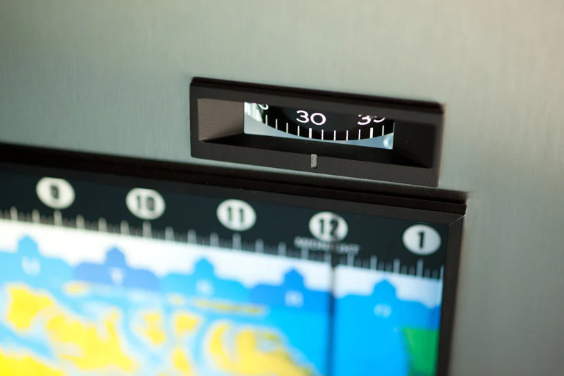
🪵 Hang-Rails
-
Wooden timber hang rails attached to the top and bottom
-
Natural lacquer finish offers a rustic yet polished look
-
Comes with a hanging cord pre-attached to the top rail—just pop a hook on your wall and it’s ready to go
-
A beautiful alternative to traditional framing
-
➤ Please allow 10 working days for delivery of this option, as each piece is hand-assembled by our professional framer
📏 Specifications
| Feature | Details |
|---|---|
| Dimensions | 1540 mm (width) x 1020 mm (height) |
| Scale | World-scale, Winkel Tripel projection |
| Publisher | National Geographic |
| Material | Laminated 120 gsm matte-coated paper |
| Finishing Options | Hang Rails |
| Region | Global coverage with thematic overlays |
| Printed In | Australia (using non-fade pigment inks) |
🏠 Who Is This Map For?
-
Homeowners & Decorators: Add classic style and global flair to any room
-
Professionals & Executives: A tasteful, informative piece for office walls or meeting spaces
-
Educators: Perfect for visual learners—reinforces lessons in geography, demography, and climate
-
Travelers & Planners: Chart past trips, plan future adventures, or inspire the next great journey
-
Gift Givers: A thoughtful, high-quality gift for birthdays, graduations, housewarmings, or retirement
💬 Customer Praise
“This map strikes the perfect balance between function and beauty. It’s a showpiece in my office and a conversation starter at every meeting.”
— Olivia M., Geospatial Consultant
“I love using the laminated version in the classroom—it’s durable, interactive, and looks amazing on the wall.”
— Mr. Davies, Secondary Geography Teacher
📦 Shipping & Delivery
-
🕐 Standard Delivery Time: 3–5 business days for rolled or flat-packed maps
-
🛠️ Hang-Railed Canvas: Please allow 10 business days for custom framing and assembly
-
🚚 Delivery Method: Shipped rolled in reinforced mailing tubes or flat-packed depending on finish
🛒 Order Yours Today
Whether you're a seasoned cartophile or looking to elevate your workspace, the World Executive Political Map by National Geographic delivers sophistication, substance, and clarity—charting not just geography, but curiosity, ambition, and heritage.
👉 Choose your finish above and transform any wall into a global destination.
Original: $250.38
-65%$250.38
$87.63Product Information
Product Information
Shipping & Returns
Shipping & Returns
Description
Classic Elegance Meets Modern Geopolitical Accuracy
Step into a world of exploration and timeless beauty with National Geographic’s World Executive Political Map—an expertly crafted cartographic masterpiece that brings together cutting-edge geographical data and an elegant, antique-inspired design. Perfect for professionals, educators, travellers, or those with a lifelong love of geography, this is more than just a map—it’s a window into the world.
With its rich, earth-toned colour palette and outstanding level of detail, the World Executive Map serves as both a functional tool and a stunning décor piece. Whether it’s adorning the boardroom, classroom, study, or lounge, this map commands attention and invites discovery.
🗺️ Features & Highlights
🧭 Accurate, Up-to-Date Political Detail
-
Displays all internationally recognized countries and borders
-
Includes capital cities, major urban centres, and key geographical features
-
Continually updated to reflect the most current geopolitical developments
🎨 Antique-Style Aesthetic
-
Uses a refined, vintage-style colour palette—rich browns, sepia, and natural greens that lend a sense of heritage and sophistication
-
Designed to blend seamlessly into a variety of interior styles, from classic libraries to modern workspaces
🔎 Inset Thematic Maps
-
Three smaller maps in the bottom corners provide additional insight into:
-
🌍 Population Density
-
🌿 Vegetation Distribution
-
🌾 Land Use & Agricultural Patterns
-
These thematic insets make the map an outstanding resource for educators and students, or for curious minds who want to understand how humans and nature interact across continents.
🌐 Winkel Tripel Projection
-
Favoured by National Geographic for its balanced portrayal of shape and area
-
Reduces distortion of landmasses near the poles (unlike the Mercator projection), offering a more realistic global perspective
-
Countries like Greenland and Australia appear in true proportion to Africa and South America
🖼️ Finishing Options – Tailored for Your Needs
Whether you’re mounting the map in a classroom, hanging it in your office, or gifting it to a globe-trotting friend, we offer several professional-grade finish options:
📝 Laminated Finish (Encapsulated)
-
Printed on heavyweight 120 gsm paper
-
Fully encapsulated in twin 80-micron gloss laminate
-
Writable & wipeable—perfect for planning trips or classroom use
-
Ideal for use with whiteboard markers or map dots to mark locations of interest
-
UV protection helps prevent fading
🪵 Hang-Rails
-
Wooden timber hang rails attached to the top and bottom
-
Natural lacquer finish offers a rustic yet polished look
-
Comes with a hanging cord pre-attached to the top rail—just pop a hook on your wall and it’s ready to go
-
A beautiful alternative to traditional framing
-
➤ Please allow 10 working days for delivery of this option, as each piece is hand-assembled by our professional framer
📏 Specifications
| Feature | Details |
|---|---|
| Dimensions | 1540 mm (width) x 1020 mm (height) |
| Scale | World-scale, Winkel Tripel projection |
| Publisher | National Geographic |
| Material | Laminated 120 gsm matte-coated paper |
| Finishing Options | Hang Rails |
| Region | Global coverage with thematic overlays |
| Printed In | Australia (using non-fade pigment inks) |
🏠 Who Is This Map For?
-
Homeowners & Decorators: Add classic style and global flair to any room
-
Professionals & Executives: A tasteful, informative piece for office walls or meeting spaces
-
Educators: Perfect for visual learners—reinforces lessons in geography, demography, and climate
-
Travelers & Planners: Chart past trips, plan future adventures, or inspire the next great journey
-
Gift Givers: A thoughtful, high-quality gift for birthdays, graduations, housewarmings, or retirement
💬 Customer Praise
“This map strikes the perfect balance between function and beauty. It’s a showpiece in my office and a conversation starter at every meeting.”
— Olivia M., Geospatial Consultant
“I love using the laminated version in the classroom—it’s durable, interactive, and looks amazing on the wall.”
— Mr. Davies, Secondary Geography Teacher
📦 Shipping & Delivery
-
🕐 Standard Delivery Time: 3–5 business days for rolled or flat-packed maps
-
🛠️ Hang-Railed Canvas: Please allow 10 business days for custom framing and assembly
-
🚚 Delivery Method: Shipped rolled in reinforced mailing tubes or flat-packed depending on finish
🛒 Order Yours Today
Whether you're a seasoned cartophile or looking to elevate your workspace, the World Executive Political Map by National Geographic delivers sophistication, substance, and clarity—charting not just geography, but curiosity, ambition, and heritage.
👉 Choose your finish above and transform any wall into a global destination.