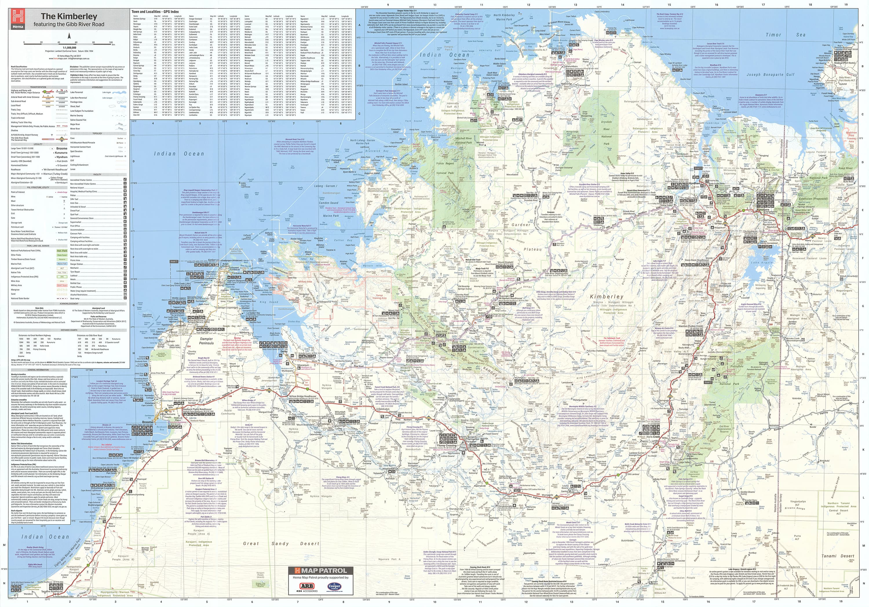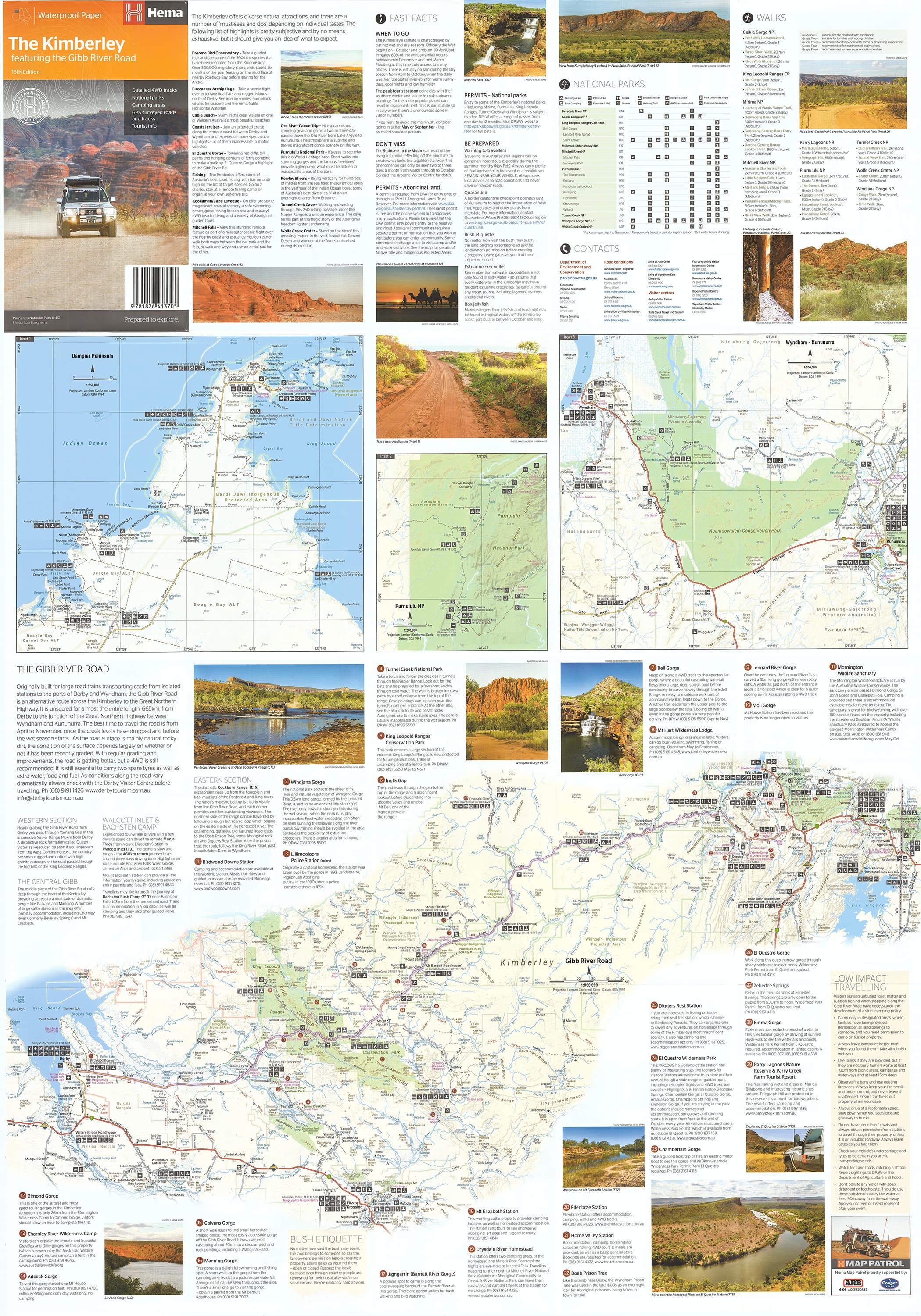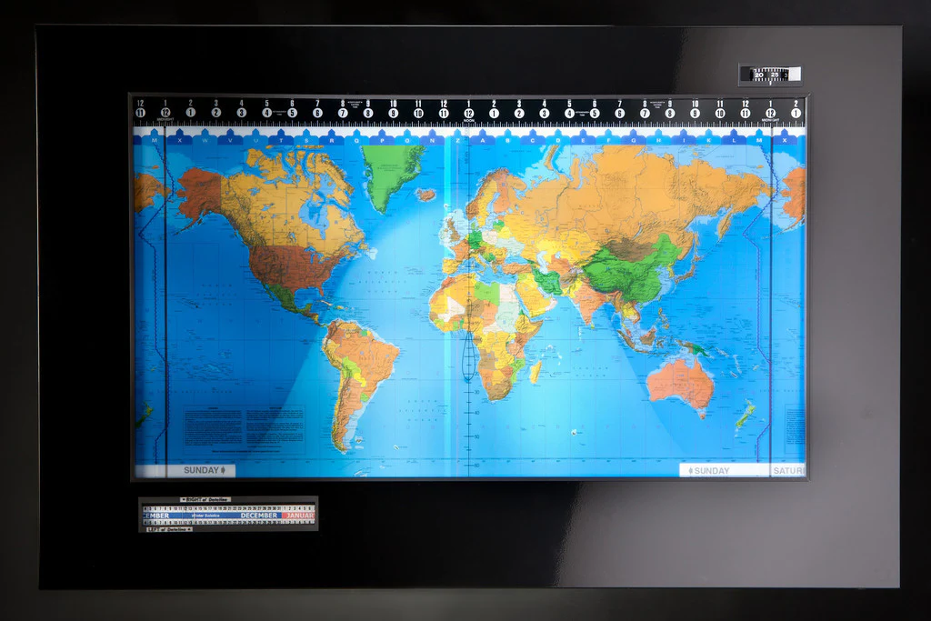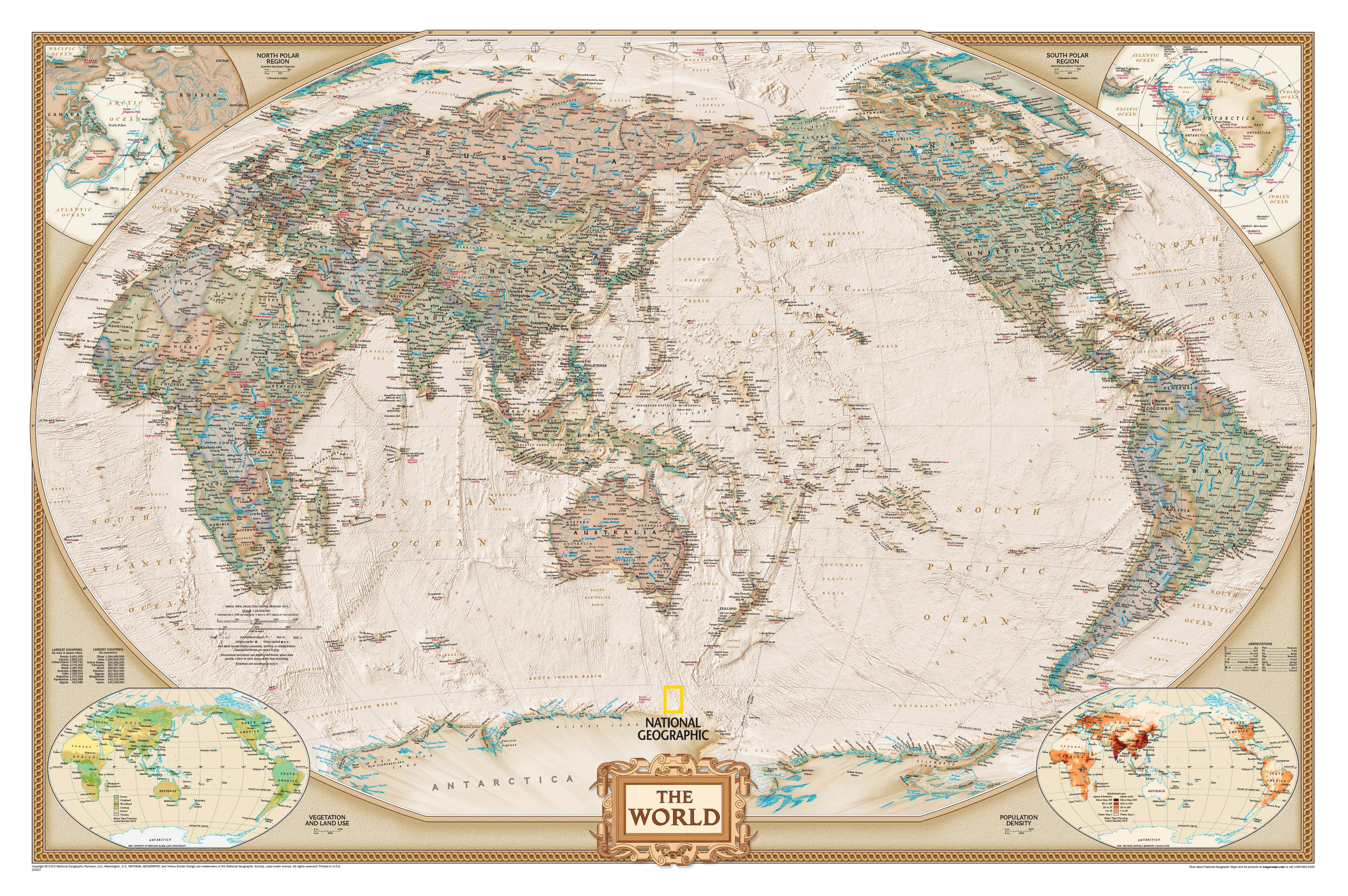
World Executive Antique Style National Geographic 1170 x 770mm (Pacific Centred) Wall Map
Where timeless design meets global perspective.
National Geographic’s World Executive Pacific-Centred Political Map is more than just a world map—it’s a refined cartographic masterpiece that blends aesthetic sophistication with rich geographic detail. Centred on the Pacific Ocean, this version shifts the traditional Euro-African focus to offer a fresh, relevant perspective—ideal for viewers in the Asia-Pacific region, especially Australia and New Zealand.
This map combines antique styling with cutting-edge cartography, making it a perfect addition to homes, classrooms, libraries, offices, or any space that values both form and function. Whether you’re planning travels, teaching geography, decorating a boardroom, or indulging your curiosity about the planet, this map offers an elegant yet information-rich view of the world.
🌐 A New Way of Seeing the World
Unlike conventional maps that centre on Europe and Africa, this Pacific-centred design places the Australasian region in the middle, reframing how we view the relationships between continents. This layout is especially useful for:
-
Navigating trans-Pacific connections
-
Visualising global trade and migration routes
-
Offering a culturally resonant view for viewers in the Southern Hemisphere
The map uses the Winkel Tripel projection, which minimizes distortion in size and shape, offering a more accurate representation of continents, particularly near the poles. This makes Greenland appear more proportional, and Africa and South America are displayed in truer relative size—enhancing the map’s educational value.
🗺️ Features & Cartographic Detail
-
Political boundaries: Clearly defined and colour-coded by nation
-
Capital and major cities: Accurately placed and easily readable
-
Ocean currents and bathymetric detail: Rich blue hues reveal ocean depth contours
-
Inset thematic maps in the lower corners showing:
-
Population density
-
Vegetation zones
-
Land use and resource distribution
-
Each element reflects National Geographic’s renowned standard of excellence in map design and geographic scholarship.
🧾 Map Specifications
-
Title: World Executive Pacific-Centred Political Map
-
Publisher: National Geographic
-
Edition: 2016
-
Scale: 1:36,384,000 (1 cm = 363.84 km approx.)
-
Dimensions: 1170 mm wide × 770 mm high
-
Projection: Winkel Tripel
-
Centre: Pacific Ocean (including Australia and New Zealand prominently in view)
-
Made in: Australia
📐 Finishing Options
Choose the format that best suits your purpose, whether it’s elegant display, heavy usage, or a long-lasting decorative statement:
🖨️ 1. Heavyweight Paper (160 gsm)
-
Smooth, matte finish for crisp detail
-
Perfect for framing under glass
-
Ideal for archival use or traditional wall display
🧴 2. Encapsulated Laminate
-
True dual-sided encapsulation with 80-micron gloss laminate
-
Water-resistant and wipeable – great for classrooms or offices
-
Long-lasting durability for high-use environments
🖼️ 3. Premium Canvas (395 gsm HP Professional Matte)
-
Printed with fade-resistant pigment-based inks for exceptional clarity and colour retention
-
Subtle canvas texture adds depth and presence
-
Ideal for long-term display in homes, galleries, libraries, or boardrooms
-
Highly durable, flexible, and fade-resistant
🪵 Optional Display – Wooden Hanging Rails
Transform your map into a ready-to-hang decorative piece by selecting our canvas version with timber hanging rails:
-
Natural timber battens fitted to the top and bottom of the map
-
Includes a pre-attached hanging cord on the top rail
-
Elegant, classic finish suitable for any interior space
-
Easy to install—simply hang from a wall hook
📦 Please allow up to 10 working days for delivery of maps with hang rails, as these are custom-fitted by our in-house framer.
🌏 Ideal For:
-
Home decorators seeking an elegant and educational wall feature
-
Offices and boardrooms wanting a refined, globally relevant statement piece
-
Educators and classrooms needing a durable, up-to-date teaching resource
-
Geography enthusiasts and travellers with a love for exploration and perspective
-
Gift-givers looking for a meaningful and beautiful present
💬 Why Choose the National Geographic Executive Map?
-
Cartographic excellence from one of the most trusted names in geography
-
Aesthetic appeal: Antique earth tones complement a wide range of decor styles
-
Uncommon orientation: Pacific-centred view reflects a more global, less Eurocentric worldview
-
Exceptional production quality: Made in Australia with premium materials and finishes
Reframe your perspective. Reimagine the world.
The World Executive Pacific-Centred Political Map is not just a tool—it’s a conversation starter, a teaching aid, and a beautifully crafted piece of cartographic art that invites you to look at the world in a whole new way.
Original: $64.36
-65%$64.36
$22.53Product Information
Product Information
Shipping & Returns
Shipping & Returns
Description
Where timeless design meets global perspective.
National Geographic’s World Executive Pacific-Centred Political Map is more than just a world map—it’s a refined cartographic masterpiece that blends aesthetic sophistication with rich geographic detail. Centred on the Pacific Ocean, this version shifts the traditional Euro-African focus to offer a fresh, relevant perspective—ideal for viewers in the Asia-Pacific region, especially Australia and New Zealand.
This map combines antique styling with cutting-edge cartography, making it a perfect addition to homes, classrooms, libraries, offices, or any space that values both form and function. Whether you’re planning travels, teaching geography, decorating a boardroom, or indulging your curiosity about the planet, this map offers an elegant yet information-rich view of the world.
🌐 A New Way of Seeing the World
Unlike conventional maps that centre on Europe and Africa, this Pacific-centred design places the Australasian region in the middle, reframing how we view the relationships between continents. This layout is especially useful for:
-
Navigating trans-Pacific connections
-
Visualising global trade and migration routes
-
Offering a culturally resonant view for viewers in the Southern Hemisphere
The map uses the Winkel Tripel projection, which minimizes distortion in size and shape, offering a more accurate representation of continents, particularly near the poles. This makes Greenland appear more proportional, and Africa and South America are displayed in truer relative size—enhancing the map’s educational value.
🗺️ Features & Cartographic Detail
-
Political boundaries: Clearly defined and colour-coded by nation
-
Capital and major cities: Accurately placed and easily readable
-
Ocean currents and bathymetric detail: Rich blue hues reveal ocean depth contours
-
Inset thematic maps in the lower corners showing:
-
Population density
-
Vegetation zones
-
Land use and resource distribution
-
Each element reflects National Geographic’s renowned standard of excellence in map design and geographic scholarship.
🧾 Map Specifications
-
Title: World Executive Pacific-Centred Political Map
-
Publisher: National Geographic
-
Edition: 2016
-
Scale: 1:36,384,000 (1 cm = 363.84 km approx.)
-
Dimensions: 1170 mm wide × 770 mm high
-
Projection: Winkel Tripel
-
Centre: Pacific Ocean (including Australia and New Zealand prominently in view)
-
Made in: Australia
📐 Finishing Options
Choose the format that best suits your purpose, whether it’s elegant display, heavy usage, or a long-lasting decorative statement:
🖨️ 1. Heavyweight Paper (160 gsm)
-
Smooth, matte finish for crisp detail
-
Perfect for framing under glass
-
Ideal for archival use or traditional wall display
🧴 2. Encapsulated Laminate
-
True dual-sided encapsulation with 80-micron gloss laminate
-
Water-resistant and wipeable – great for classrooms or offices
-
Long-lasting durability for high-use environments
🖼️ 3. Premium Canvas (395 gsm HP Professional Matte)
-
Printed with fade-resistant pigment-based inks for exceptional clarity and colour retention
-
Subtle canvas texture adds depth and presence
-
Ideal for long-term display in homes, galleries, libraries, or boardrooms
-
Highly durable, flexible, and fade-resistant
🪵 Optional Display – Wooden Hanging Rails
Transform your map into a ready-to-hang decorative piece by selecting our canvas version with timber hanging rails:
-
Natural timber battens fitted to the top and bottom of the map
-
Includes a pre-attached hanging cord on the top rail
-
Elegant, classic finish suitable for any interior space
-
Easy to install—simply hang from a wall hook
📦 Please allow up to 10 working days for delivery of maps with hang rails, as these are custom-fitted by our in-house framer.
🌏 Ideal For:
-
Home decorators seeking an elegant and educational wall feature
-
Offices and boardrooms wanting a refined, globally relevant statement piece
-
Educators and classrooms needing a durable, up-to-date teaching resource
-
Geography enthusiasts and travellers with a love for exploration and perspective
-
Gift-givers looking for a meaningful and beautiful present
💬 Why Choose the National Geographic Executive Map?
-
Cartographic excellence from one of the most trusted names in geography
-
Aesthetic appeal: Antique earth tones complement a wide range of decor styles
-
Uncommon orientation: Pacific-centred view reflects a more global, less Eurocentric worldview
-
Exceptional production quality: Made in Australia with premium materials and finishes
Reframe your perspective. Reimagine the world.
The World Executive Pacific-Centred Political Map is not just a tool—it’s a conversation starter, a teaching aid, and a beautifully crafted piece of cartographic art that invites you to look at the world in a whole new way.