53375 - Lake Argyle DPI Chart
53375 — Lake Argyle
WA Department of Transport Nautical Chart
Essential large-scale navigation for one of Australia’s largest and most remote inland waterways.
🚤 Navigate Lake Argyle with Local Authority Confidence
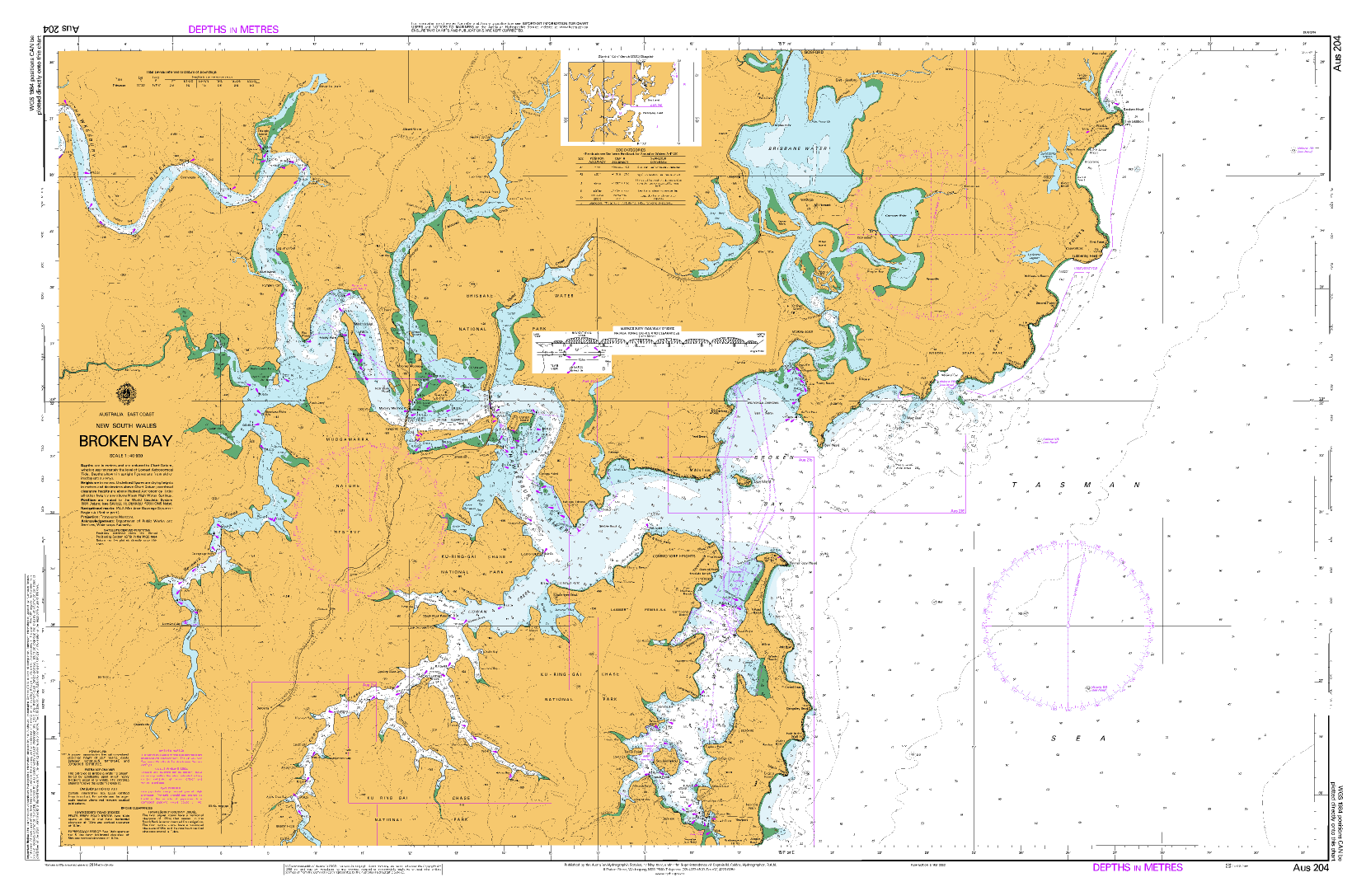
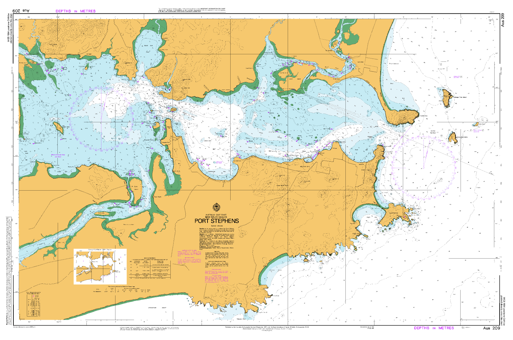
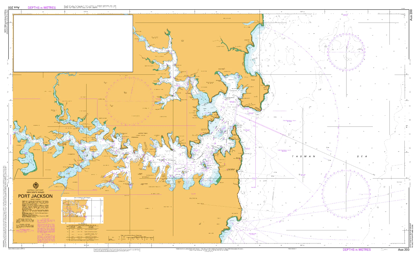
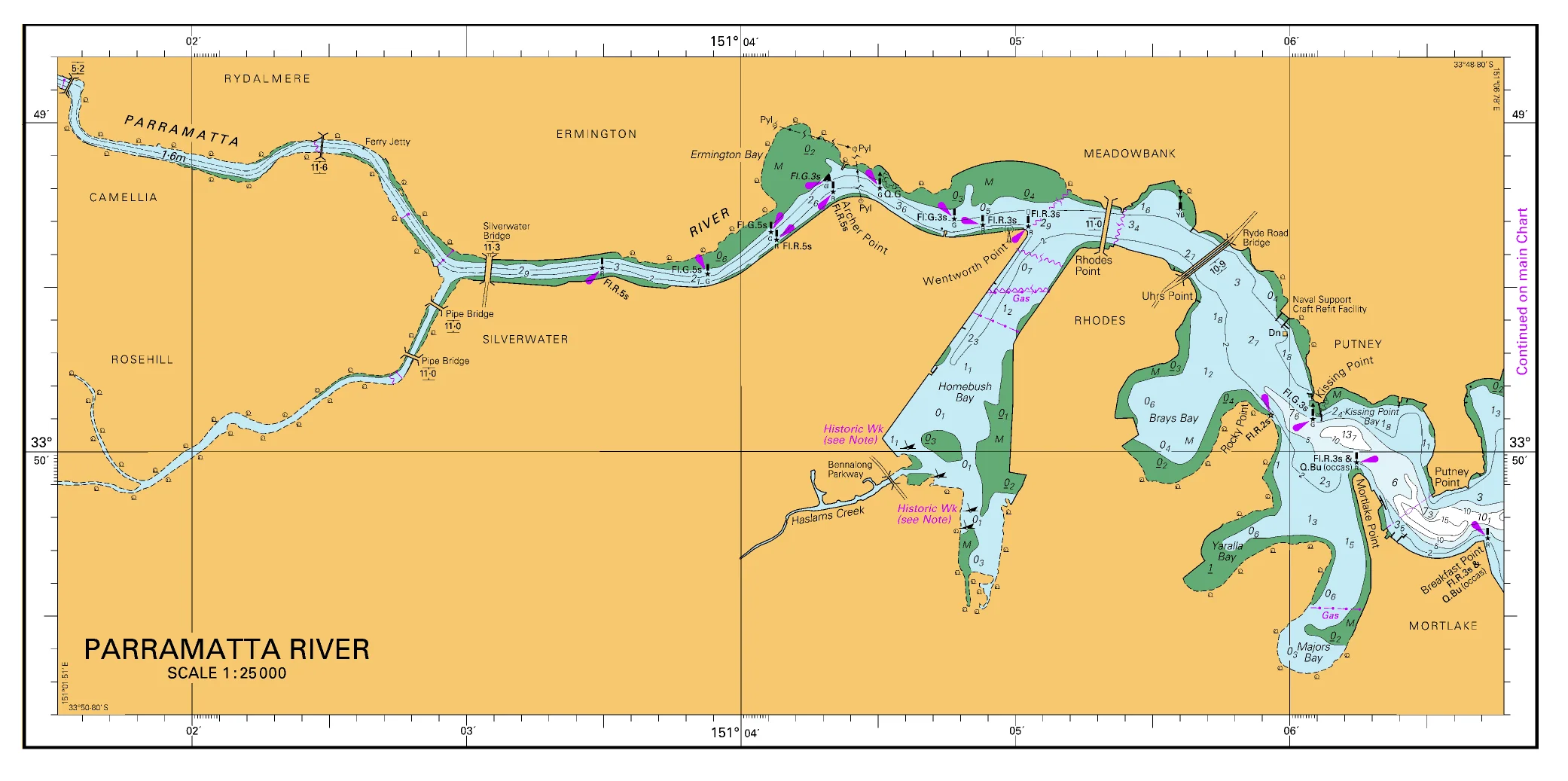
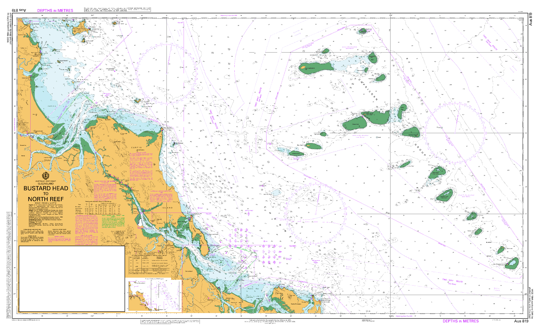
Chart 53375 — Lake Argyle is a detailed navigation chart published by the Western Australian Department of Transport to support safe recreational and local commercial boating on Lake Argyle, a vast inland reservoir in the East Kimberley.
Although far from the coast, Lake Argyle presents unique navigation challenges—immense scale, submerged terrain, shifting water levels, and limited visual reference points. This chart provides the clarity and spatial awareness required to operate confidently in a remote inland environment.
🧭 Why Skippers Rely on This Chart
-
⚓ Authoritative WA source — Published by the Department of Transport
-
🗺️ Dual-scale coverage — 1:100,000 overview with 1:30,000 close detail
-
🌊 Depth & shoreline detail — Critical for fluctuating lake levels
-
🚤 Hazard awareness — Assists with submerged features and navigation limits
-
🧭 Route-planning clarity — Ideal for long transits and exploration
-
🇦🇺 Printed locally in Australia — Clear colour and professional finish
This chart is designed as a working navigation reference, supporting planning and on-water decision-making in a vast and isolated setting.
🧠 Why Lake Argyle Needs a Dedicated Chart
Lake Argyle is enormous—larger than many coastal harbours combined—and its scale can be deceptive. This chart helps operators:
-
Maintain orientation in feature-sparse open water
-
Plan safe routes between launch points and camps
-
Understand shoreline complexity and submerged terrain
-
Navigate confidently despite changing water levels
-
Support safe boating in a remote, low-infrastructure region
This is not a decorative map—it’s a practical navigation tool.
👥 Who This Chart Is For
-
🚤 Recreational boaters exploring Lake Argyle
-
🎣 Freshwater anglers operating across large distances
-
🛥️ Tour operators & local commercial users
-
🧭 Houseboat operators and expedition planners
-
🗂️ Emergency services & land managers
-
🎁 A unique gift for Kimberley adventurers
If you boat on Lake Argyle, this chart is essential.
🗺️ What You’ll See on the Chart
Clear, concise, and navigationally relevant information, including:
-
Shoreline and lake features
-
Depth and contour information
-
Navigation limits and reference points
-
Submerged and potential hazard areas
-
Scale context for long-distance planning
Operators should remain aware that lake conditions and water levels may change and should exercise prudent navigation at all times.
🖨️ Field-Ready Print Options
Choose the finish that best suits remote inland use:
📄 Paper (Standard)
-
Full-colour print
-
Ideal for planning, briefing, or protected use
💧 Waterproof DuPont™ Tyvek®
-
Tear-proof, water-resistant & foldable
-
Ideal for on-water use in remote environments
✍️ Laminated (Write-On / Wipe-Off)
-
True encapsulation for durability
-
Draw routes with whiteboard marker
-
Apply map dots without permanent marking
-
Resistant to stains, moisture, and heavy handling
📐 Chart Specifications
| Detail | Information |
|---|---|
| Chart Number | 53375 |
| Title | Lake Argyle |
| Publisher | WA Department of Transport |
| Scales | 1:100,000 & 1:30,000 |
| Format | Two single-sided sheets |
| Sheet Size | 590 mm × 840 mm |
| Colour | Full colour |
| Use | Recreational & local commercial boating |
| Production | Printed in Australia |
⚠️ Important Navigation Notice
This chart does not meet Australian or international chart carriage requirements, including SOLAS V.
It is intended for planning, reference, and local navigation awareness only. Conditions on inland waterways such as Lake Argyle may vary significantly due to water levels and environmental factors.
🇦🇺 Our Commitment
At Mapworld, we print charts locally in Australia using professional-grade materials suited to demanding field conditions. Every chart is carefully checked and supplied ready for real-world use—whether on the water, at camp, or in planning.
🧭 Ready to explore Lake Argyle with confidence?
Select your preferred finish and add Chart 53375 — Lake Argyle to your kit today.
Original: $39.35
-65%$39.35
$13.77Product Information
Product Information
Shipping & Returns
Shipping & Returns
Description
53375 — Lake Argyle
WA Department of Transport Nautical Chart
Essential large-scale navigation for one of Australia’s largest and most remote inland waterways.
🚤 Navigate Lake Argyle with Local Authority Confidence
Chart 53375 — Lake Argyle is a detailed navigation chart published by the Western Australian Department of Transport to support safe recreational and local commercial boating on Lake Argyle, a vast inland reservoir in the East Kimberley.
Although far from the coast, Lake Argyle presents unique navigation challenges—immense scale, submerged terrain, shifting water levels, and limited visual reference points. This chart provides the clarity and spatial awareness required to operate confidently in a remote inland environment.
🧭 Why Skippers Rely on This Chart
-
⚓ Authoritative WA source — Published by the Department of Transport
-
🗺️ Dual-scale coverage — 1:100,000 overview with 1:30,000 close detail
-
🌊 Depth & shoreline detail — Critical for fluctuating lake levels
-
🚤 Hazard awareness — Assists with submerged features and navigation limits
-
🧭 Route-planning clarity — Ideal for long transits and exploration
-
🇦🇺 Printed locally in Australia — Clear colour and professional finish
This chart is designed as a working navigation reference, supporting planning and on-water decision-making in a vast and isolated setting.
🧠 Why Lake Argyle Needs a Dedicated Chart
Lake Argyle is enormous—larger than many coastal harbours combined—and its scale can be deceptive. This chart helps operators:
-
Maintain orientation in feature-sparse open water
-
Plan safe routes between launch points and camps
-
Understand shoreline complexity and submerged terrain
-
Navigate confidently despite changing water levels
-
Support safe boating in a remote, low-infrastructure region
This is not a decorative map—it’s a practical navigation tool.
👥 Who This Chart Is For
-
🚤 Recreational boaters exploring Lake Argyle
-
🎣 Freshwater anglers operating across large distances
-
🛥️ Tour operators & local commercial users
-
🧭 Houseboat operators and expedition planners
-
🗂️ Emergency services & land managers
-
🎁 A unique gift for Kimberley adventurers
If you boat on Lake Argyle, this chart is essential.
🗺️ What You’ll See on the Chart
Clear, concise, and navigationally relevant information, including:
-
Shoreline and lake features
-
Depth and contour information
-
Navigation limits and reference points
-
Submerged and potential hazard areas
-
Scale context for long-distance planning
Operators should remain aware that lake conditions and water levels may change and should exercise prudent navigation at all times.
🖨️ Field-Ready Print Options
Choose the finish that best suits remote inland use:
📄 Paper (Standard)
-
Full-colour print
-
Ideal for planning, briefing, or protected use
💧 Waterproof DuPont™ Tyvek®
-
Tear-proof, water-resistant & foldable
-
Ideal for on-water use in remote environments
✍️ Laminated (Write-On / Wipe-Off)
-
True encapsulation for durability
-
Draw routes with whiteboard marker
-
Apply map dots without permanent marking
-
Resistant to stains, moisture, and heavy handling
📐 Chart Specifications
| Detail | Information |
|---|---|
| Chart Number | 53375 |
| Title | Lake Argyle |
| Publisher | WA Department of Transport |
| Scales | 1:100,000 & 1:30,000 |
| Format | Two single-sided sheets |
| Sheet Size | 590 mm × 840 mm |
| Colour | Full colour |
| Use | Recreational & local commercial boating |
| Production | Printed in Australia |
⚠️ Important Navigation Notice
This chart does not meet Australian or international chart carriage requirements, including SOLAS V.
It is intended for planning, reference, and local navigation awareness only. Conditions on inland waterways such as Lake Argyle may vary significantly due to water levels and environmental factors.
🇦🇺 Our Commitment
At Mapworld, we print charts locally in Australia using professional-grade materials suited to demanding field conditions. Every chart is carefully checked and supplied ready for real-world use—whether on the water, at camp, or in planning.
🧭 Ready to explore Lake Argyle with confidence?
Select your preferred finish and add Chart 53375 — Lake Argyle to your kit today.