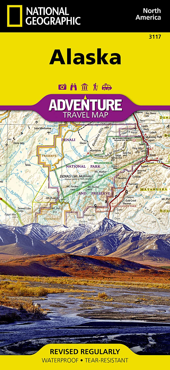
Alaska National Geographic Folded Map
The Last Frontier Awaits.
Alaska is a land of extremes—so vast it could contain Texas, California, and Montana combined, yet home to fewer people than many small cities. This folded Adventure Map by National Geographic captures the wild beauty, untamed wilderness, and immense diversity of America’s largest state.
Whether you're cruising the Inside Passage, exploring Denali's alpine grandeur, or tracing the history of the Klondike Gold Rush, this map is an essential companion for planning and adventure.
🌲 Map Highlights & Geographic Features
This expertly designed map showcases Alaska’s dramatic and varied terrain, stretching from the temperate rainforests of the Southeast Panhandle to the windswept Arctic tundra of the North Slope.
🗺️ Coverage Includes:
-
Anchorage, Juneau, and Fairbanks
-
Denali National Park & Preserve
-
The Inside Passage – ideal for cruise ship explorers
-
Arctic National Wildlife Refuge
-
Gates of the Arctic, Wrangell-St. Elias, and Kenai Fjords
-
Klondike Gold Rush National Historical Park
-
Western Aleutians, North Slope, Yukon Delta & More
All National Parks, National Forests, Wildlife Refuges, and Natural Reserves are clearly marked, along with highways, ferry routes, scenic byways, mountain ranges, rivers, and backcountry trails.
🧭 Adventure Map Features
| Feature | Description |
|---|---|
| Scale | 1:2,250,000 – balanced for broad exploration and regional detail |
| Durability | Printed on tear-resistant, waterproof synthetic paper |
| Legend | Multilingual, easy-to-read symbols for recreation, terrain, and heritage |
| Topographic Detail | Includes shaded relief, elevation contours, and major water features |
| Protected Areas | Clearly delineates national parks, forests, reserves, and marine sanctuaries |
| Travel Routes | Includes major roads, scenic routes, ferry lines, and cruise terminals |
📐 Specifications
| Attribute | Details |
|---|---|
| Map Title | Alaska Adventure Map |
| Publisher | National Geographic Maps |
| Format | Folded Map |
| Sheet Size | 25.5" x 37.75" (64.8 x 95.9 cm) |
| Folded Size | 4.25" x 9.25" (10.8 x 23.5 cm) |
| Scale | 1:2,250,000 |
| Material | Synthetic, waterproof, tear-resistant paper |
| Map Series | National Geographic Adventure Series |
🧳 Perfect For
✔️ Outdoor adventurers and nature lovers
✔️ Cruise passengers touring the Inside Passage
✔️ Backcountry explorers, hikers, and paddlers
✔️ Teachers, students, and geography enthusiasts
✔️ Anyone planning the trip of a lifetime to Alaska
🛒 Get Ready for Adventure
With its rugged build, superb cartography, and focus on exploration, the Alaska Adventure Map is more than a navigational tool—it’s a gateway to experiencing one of the most awe-inspiring regions on Earth.
Pair it with National Geographic’s Inside Passage Destination Map for a complete Alaskan adventure set.
Product Information
Product Information
Shipping & Returns
Shipping & Returns
Description
The Last Frontier Awaits.
Alaska is a land of extremes—so vast it could contain Texas, California, and Montana combined, yet home to fewer people than many small cities. This folded Adventure Map by National Geographic captures the wild beauty, untamed wilderness, and immense diversity of America’s largest state.
Whether you're cruising the Inside Passage, exploring Denali's alpine grandeur, or tracing the history of the Klondike Gold Rush, this map is an essential companion for planning and adventure.
🌲 Map Highlights & Geographic Features
This expertly designed map showcases Alaska’s dramatic and varied terrain, stretching from the temperate rainforests of the Southeast Panhandle to the windswept Arctic tundra of the North Slope.
🗺️ Coverage Includes:
-
Anchorage, Juneau, and Fairbanks
-
Denali National Park & Preserve
-
The Inside Passage – ideal for cruise ship explorers
-
Arctic National Wildlife Refuge
-
Gates of the Arctic, Wrangell-St. Elias, and Kenai Fjords
-
Klondike Gold Rush National Historical Park
-
Western Aleutians, North Slope, Yukon Delta & More
All National Parks, National Forests, Wildlife Refuges, and Natural Reserves are clearly marked, along with highways, ferry routes, scenic byways, mountain ranges, rivers, and backcountry trails.
🧭 Adventure Map Features
| Feature | Description |
|---|---|
| Scale | 1:2,250,000 – balanced for broad exploration and regional detail |
| Durability | Printed on tear-resistant, waterproof synthetic paper |
| Legend | Multilingual, easy-to-read symbols for recreation, terrain, and heritage |
| Topographic Detail | Includes shaded relief, elevation contours, and major water features |
| Protected Areas | Clearly delineates national parks, forests, reserves, and marine sanctuaries |
| Travel Routes | Includes major roads, scenic routes, ferry lines, and cruise terminals |
📐 Specifications
| Attribute | Details |
|---|---|
| Map Title | Alaska Adventure Map |
| Publisher | National Geographic Maps |
| Format | Folded Map |
| Sheet Size | 25.5" x 37.75" (64.8 x 95.9 cm) |
| Folded Size | 4.25" x 9.25" (10.8 x 23.5 cm) |
| Scale | 1:2,250,000 |
| Material | Synthetic, waterproof, tear-resistant paper |
| Map Series | National Geographic Adventure Series |
🧳 Perfect For
✔️ Outdoor adventurers and nature lovers
✔️ Cruise passengers touring the Inside Passage
✔️ Backcountry explorers, hikers, and paddlers
✔️ Teachers, students, and geography enthusiasts
✔️ Anyone planning the trip of a lifetime to Alaska
🛒 Get Ready for Adventure
With its rugged build, superb cartography, and focus on exploration, the Alaska Adventure Map is more than a navigational tool—it’s a gateway to experiencing one of the most awe-inspiring regions on Earth.
Pair it with National Geographic’s Inside Passage Destination Map for a complete Alaskan adventure set.