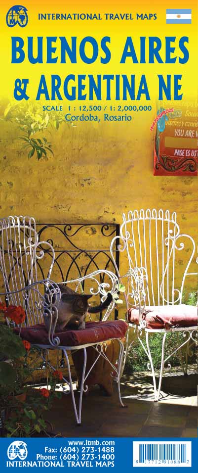
Buenos Aires & Argentina North East ITMB Map
4th Edition – Lamination Available
Discover the vibrant energy of Buenos Aires and the natural wonders of northeastern Argentina with this detailed, double-sided travel map by ITMB (International Travel Maps). Whether you're tracing the footsteps of tango legends through San Telmo, navigating the boulevards of Palermo, or planning a journey to Iguazú Falls, this map is your essential companion.
🧭 Side 1: City Map – Buenos Aires (Scale 1:12,500)
This thoroughly updated edition captures the complexity and charm of Argentina’s cosmopolitan capital:
-
✅ Subway (Subte) lines clearly marked for fast urban navigation
-
✅ Major pedestrian shopping streets like Florida and Lavalle highlighted
-
✅ All three main railway stations included
-
✅ Cruise ship terminal and ferry crossings to Uruguay correctly positioned
-
✅ La Recoleta Cemetery shown in detail with internal pathways
-
✅ Aeroparque Jorge Newbery airport marked (for domestic flights)
✈️ Note: Buenos Aires' main international airport (Ezeiza) is located further outside the city and is noted on the regional map.
🗺️ Side 2: Northeastern Argentina Regional Map
(Extends into Uruguay, Southern Brazil & Paraguay)
This side provides a broad overview for regional travellers and overlanders:
-
🌊 Iguazú Falls – clearly marked near the Brazil/Paraguay border
-
🏛️ Historic Córdoba & Rosario – with inset maps for city exploration
-
🌆 Covers most of Uruguay, including Montevideo and coastal destinations
-
🧭 Reaches south to Puerto Madryn and east to Mar del Plata & Bahía Blanca
-
🌍 Includes border regions of Brazil and Paraguay for cross-border planning
🌟 Key Features
| ✅ Feature | 💡 Benefit |
|---|---|
| Double-sided printing | City + Regional coverage in one map |
| Highly detailed urban mapping | Ideal for walking, public transport, and cultural touring |
| Waterproof lamination available* | Reusable with markers, tear-resistant, and travel-ready |
| Inset city maps | Includes Córdoba and Rosario for broader planning |
| Tourist highlights marked | Includes landmarks, parks, historic zones & ferry routes |
| Printed on high-quality paper | Clear, legible, and beautifully rendered |
🧱 Specifications
| Attribute | Details |
|---|---|
| Title | Buenos Aires & Argentina North East |
| Publisher | ITMB (International Travel Maps) |
| Format | Folded, double-sided map (paper or laminated) |
| Scale | 1:12,500 (Buenos Aires) / variable regional |
| Sheet Size | 690 mm (w) x 1000 mm (h) |
| Edition | Latest revision – updated transport & features |
| ISBN | [Provided upon request] |
📌 Laminated version: To laminate this map, we flatten the folded edition and encapsulate it in high-quality 80-micron gloss laminate. Slight fold lines may remain but will not affect usability.
🎯 Why Choose This Map?
-
Perfect for urban explorers, academic travellers, and cultural tourists visiting Buenos Aires
-
Ideal for those planning regional trips to Iguazú Falls, Cordoba, Uruguay, or cross-border road trips
-
Handy for cruise travellers docking in Buenos Aires or heading to Uruguay
-
Also great for classrooms, travel planners, and South America enthusiasts
Pair this map with an Argentina guidebook or a broader South America map for the ultimate travel toolkit.
Product Information
Product Information
Shipping & Returns
Shipping & Returns
Description
4th Edition – Lamination Available
Discover the vibrant energy of Buenos Aires and the natural wonders of northeastern Argentina with this detailed, double-sided travel map by ITMB (International Travel Maps). Whether you're tracing the footsteps of tango legends through San Telmo, navigating the boulevards of Palermo, or planning a journey to Iguazú Falls, this map is your essential companion.
🧭 Side 1: City Map – Buenos Aires (Scale 1:12,500)
This thoroughly updated edition captures the complexity and charm of Argentina’s cosmopolitan capital:
-
✅ Subway (Subte) lines clearly marked for fast urban navigation
-
✅ Major pedestrian shopping streets like Florida and Lavalle highlighted
-
✅ All three main railway stations included
-
✅ Cruise ship terminal and ferry crossings to Uruguay correctly positioned
-
✅ La Recoleta Cemetery shown in detail with internal pathways
-
✅ Aeroparque Jorge Newbery airport marked (for domestic flights)
✈️ Note: Buenos Aires' main international airport (Ezeiza) is located further outside the city and is noted on the regional map.
🗺️ Side 2: Northeastern Argentina Regional Map
(Extends into Uruguay, Southern Brazil & Paraguay)
This side provides a broad overview for regional travellers and overlanders:
-
🌊 Iguazú Falls – clearly marked near the Brazil/Paraguay border
-
🏛️ Historic Córdoba & Rosario – with inset maps for city exploration
-
🌆 Covers most of Uruguay, including Montevideo and coastal destinations
-
🧭 Reaches south to Puerto Madryn and east to Mar del Plata & Bahía Blanca
-
🌍 Includes border regions of Brazil and Paraguay for cross-border planning
🌟 Key Features
| ✅ Feature | 💡 Benefit |
|---|---|
| Double-sided printing | City + Regional coverage in one map |
| Highly detailed urban mapping | Ideal for walking, public transport, and cultural touring |
| Waterproof lamination available* | Reusable with markers, tear-resistant, and travel-ready |
| Inset city maps | Includes Córdoba and Rosario for broader planning |
| Tourist highlights marked | Includes landmarks, parks, historic zones & ferry routes |
| Printed on high-quality paper | Clear, legible, and beautifully rendered |
🧱 Specifications
| Attribute | Details |
|---|---|
| Title | Buenos Aires & Argentina North East |
| Publisher | ITMB (International Travel Maps) |
| Format | Folded, double-sided map (paper or laminated) |
| Scale | 1:12,500 (Buenos Aires) / variable regional |
| Sheet Size | 690 mm (w) x 1000 mm (h) |
| Edition | Latest revision – updated transport & features |
| ISBN | [Provided upon request] |
📌 Laminated version: To laminate this map, we flatten the folded edition and encapsulate it in high-quality 80-micron gloss laminate. Slight fold lines may remain but will not affect usability.
🎯 Why Choose This Map?
-
Perfect for urban explorers, academic travellers, and cultural tourists visiting Buenos Aires
-
Ideal for those planning regional trips to Iguazú Falls, Cordoba, Uruguay, or cross-border road trips
-
Handy for cruise travellers docking in Buenos Aires or heading to Uruguay
-
Also great for classrooms, travel planners, and South America enthusiasts
Pair this map with an Argentina guidebook or a broader South America map for the ultimate travel toolkit.