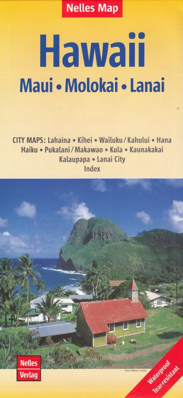
Hawaii – Maui, Moloka‘i & Lāna‘i Map by Nelles Verlag
Explore Three Distinct Hawaiian Islands • Folded Travel Map • High Detail • Town Insets Included
Discover the diverse landscapes and island cultures of Maui, Moloka‘i, and Lāna‘i with this beautifully detailed map by Nelles Verlag. Ideal for road trips, sightseeing, or adventure planning, this map offers clear cartography at 1:150,000 scale—capturing everything from winding coastal roads to volcanic terrain and serene towns.
Whether you're tracing the Road to Hāna, visiting the remote Kalaupapa Peninsula, or exploring the quiet charm of Lāna‘i City, this map provides all the guidance you need in one compact, easy-to-use format.
🗺️ Coverage Areas & Features
This folded travel map includes:
-
Maui – The Valley Isle: beaches, waterfalls, Haleakalā Crater, and the scenic Hāna Highway
-
Moloka‘i – Known for dramatic sea cliffs and traditional Hawaiian culture
-
Lāna‘i – A tranquil island escape with rugged backroads and secluded beaches
Clear road networks include:
-
Major and minor roads
-
Scenic routes and coastal drives
-
National and state parks
-
Cultural landmarks and historical sites
-
Golf courses, harbors, and beaches
🧭 Detailed Town & City Insets
Navigate the islands’ most visited towns with ease using included inset maps at convenient scales:
Inset Maps Include:
-
Lahaina
-
Kīhei
-
Wailuku / Kahului
-
Hāna
-
Haʻikū
-
Pukalani / Makawao
-
Kula
-
Kaunakakai (Moloka‘i)
-
Kalaupapa (Moloka‘i)
-
Lāna‘i City
These insets highlight local roads, accommodations, services, and tourist attractions—ideal for planning excursions or locating key destinations.
📐 Specifications
| Feature | Details |
|---|---|
| Map Title | Hawaii – Maui, Moloka‘i & Lāna‘i |
| Publisher | Nelles Verlag |
| Scale | 1:150,000 |
| Format | Folded paper map |
| Size (Unfolded) | Approx. 1000 mm x 700 mm |
| Inset Maps | 10 towns and villages |
| Languages | Multilingual map key (English, German, etc.) |
✅ Why Choose This Map?
-
🧳 Essential for self-drive exploration and remote access areas
-
🌴 Ideal for day-trippers, resort visitors, hikers, and photographers
-
🗺️ Clearly labelled roads, natural features, and attractions
-
📌 Compact and portable — perfect for bags, glove compartments, or backpacks
-
🌊 Explore 3 islands in one map — great value for travellers
🌺 Perfect For
-
✈️ Hawaii-bound travellers wanting to explore beyond resort boundaries
-
🧭 Road trippers planning scenic drives and cultural routes
-
🎁 A thoughtful gift for travel lovers or Maui returnees
-
🧒🏽 Family-friendly tool for planning outdoor fun or educational use
Embrace the spirit of Aloha and navigate with confidence using this Maui, Moloka‘i & Lāna‘i Map by Nelles Verlag—your ideal island companion for relaxation, discovery, and adventure.
Original: $14.27
-65%$14.27
$4.99Product Information
Product Information
Shipping & Returns
Shipping & Returns
Description
Explore Three Distinct Hawaiian Islands • Folded Travel Map • High Detail • Town Insets Included
Discover the diverse landscapes and island cultures of Maui, Moloka‘i, and Lāna‘i with this beautifully detailed map by Nelles Verlag. Ideal for road trips, sightseeing, or adventure planning, this map offers clear cartography at 1:150,000 scale—capturing everything from winding coastal roads to volcanic terrain and serene towns.
Whether you're tracing the Road to Hāna, visiting the remote Kalaupapa Peninsula, or exploring the quiet charm of Lāna‘i City, this map provides all the guidance you need in one compact, easy-to-use format.
🗺️ Coverage Areas & Features
This folded travel map includes:
-
Maui – The Valley Isle: beaches, waterfalls, Haleakalā Crater, and the scenic Hāna Highway
-
Moloka‘i – Known for dramatic sea cliffs and traditional Hawaiian culture
-
Lāna‘i – A tranquil island escape with rugged backroads and secluded beaches
Clear road networks include:
-
Major and minor roads
-
Scenic routes and coastal drives
-
National and state parks
-
Cultural landmarks and historical sites
-
Golf courses, harbors, and beaches
🧭 Detailed Town & City Insets
Navigate the islands’ most visited towns with ease using included inset maps at convenient scales:
Inset Maps Include:
-
Lahaina
-
Kīhei
-
Wailuku / Kahului
-
Hāna
-
Haʻikū
-
Pukalani / Makawao
-
Kula
-
Kaunakakai (Moloka‘i)
-
Kalaupapa (Moloka‘i)
-
Lāna‘i City
These insets highlight local roads, accommodations, services, and tourist attractions—ideal for planning excursions or locating key destinations.
📐 Specifications
| Feature | Details |
|---|---|
| Map Title | Hawaii – Maui, Moloka‘i & Lāna‘i |
| Publisher | Nelles Verlag |
| Scale | 1:150,000 |
| Format | Folded paper map |
| Size (Unfolded) | Approx. 1000 mm x 700 mm |
| Inset Maps | 10 towns and villages |
| Languages | Multilingual map key (English, German, etc.) |
✅ Why Choose This Map?
-
🧳 Essential for self-drive exploration and remote access areas
-
🌴 Ideal for day-trippers, resort visitors, hikers, and photographers
-
🗺️ Clearly labelled roads, natural features, and attractions
-
📌 Compact and portable — perfect for bags, glove compartments, or backpacks
-
🌊 Explore 3 islands in one map — great value for travellers
🌺 Perfect For
-
✈️ Hawaii-bound travellers wanting to explore beyond resort boundaries
-
🧭 Road trippers planning scenic drives and cultural routes
-
🎁 A thoughtful gift for travel lovers or Maui returnees
-
🧒🏽 Family-friendly tool for planning outdoor fun or educational use
Embrace the spirit of Aloha and navigate with confidence using this Maui, Moloka‘i & Lāna‘i Map by Nelles Verlag—your ideal island companion for relaxation, discovery, and adventure.